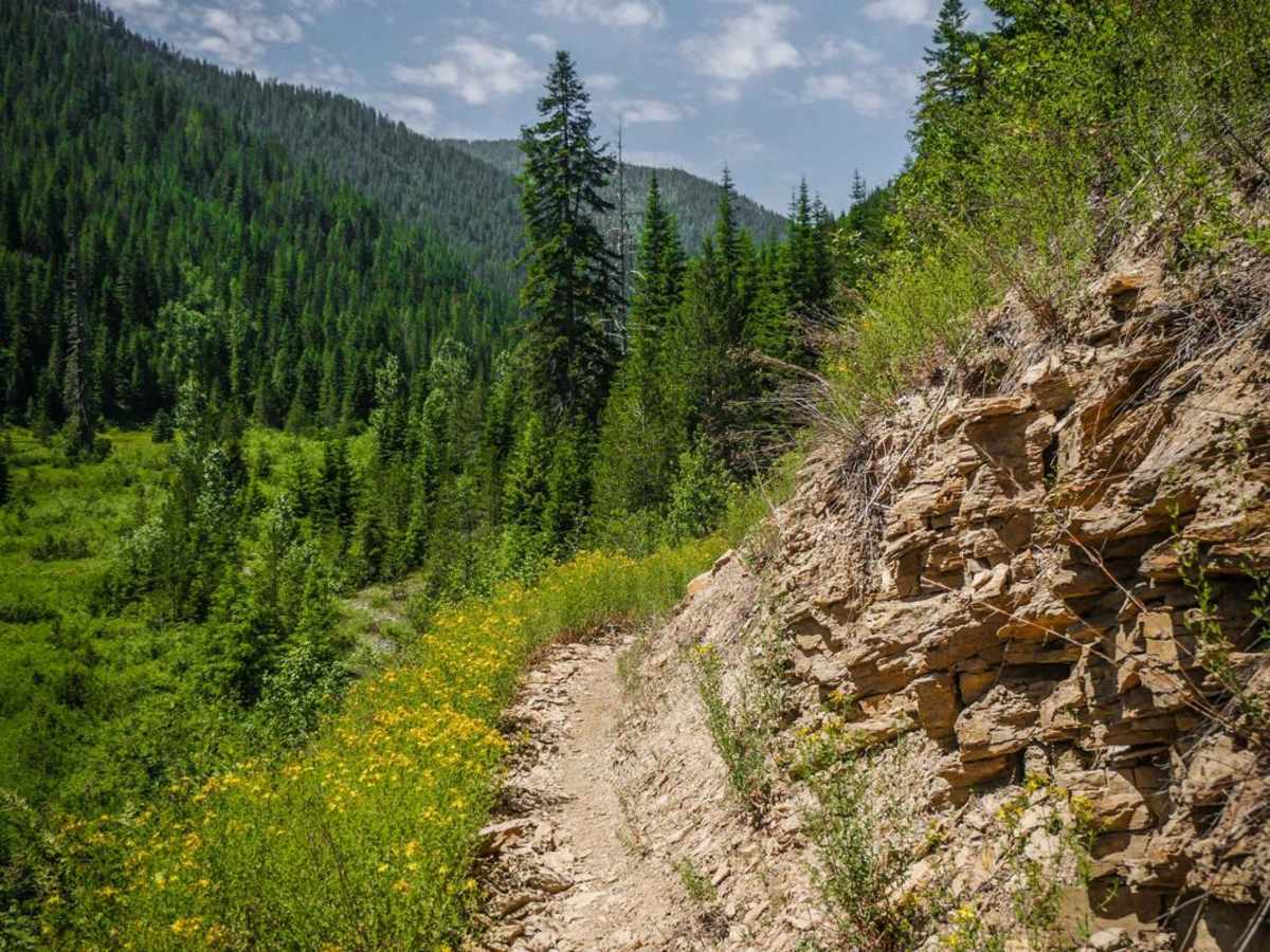
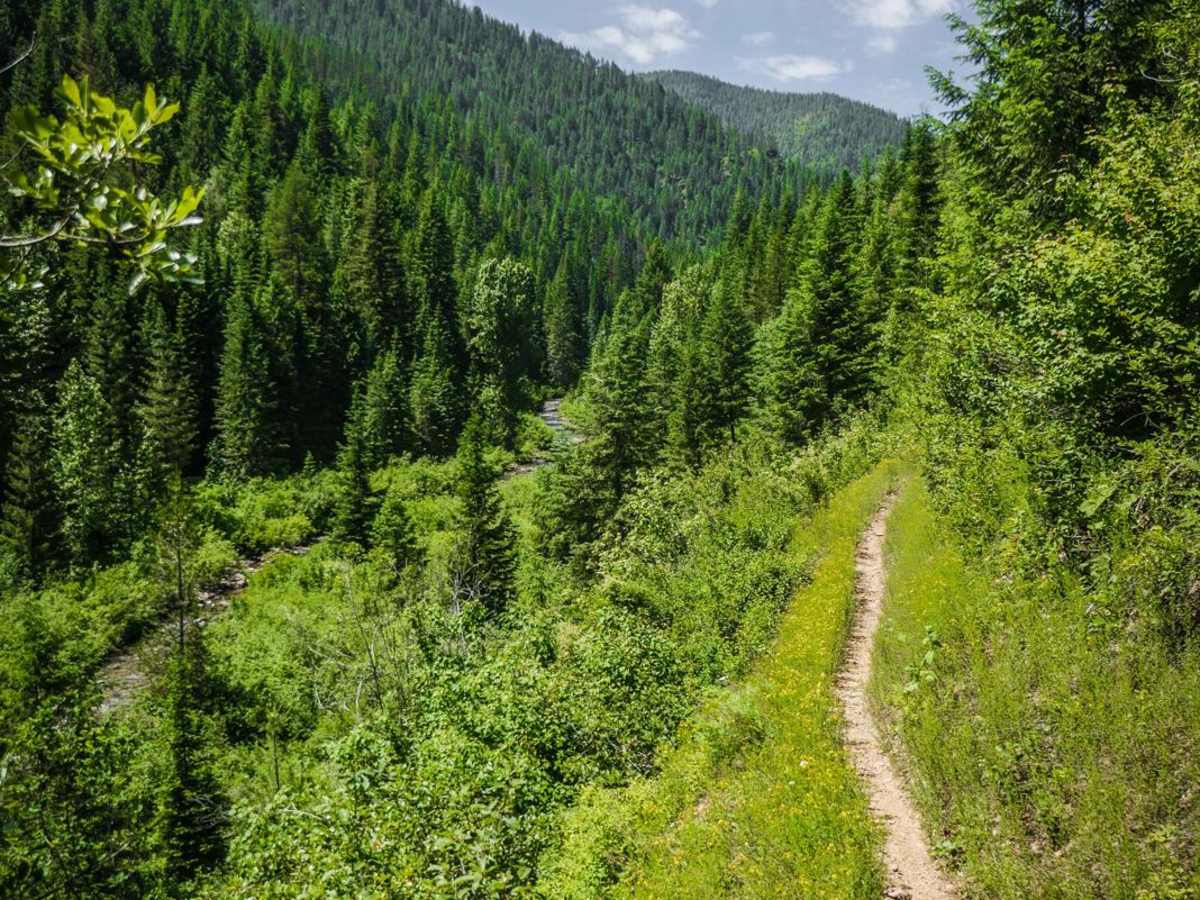
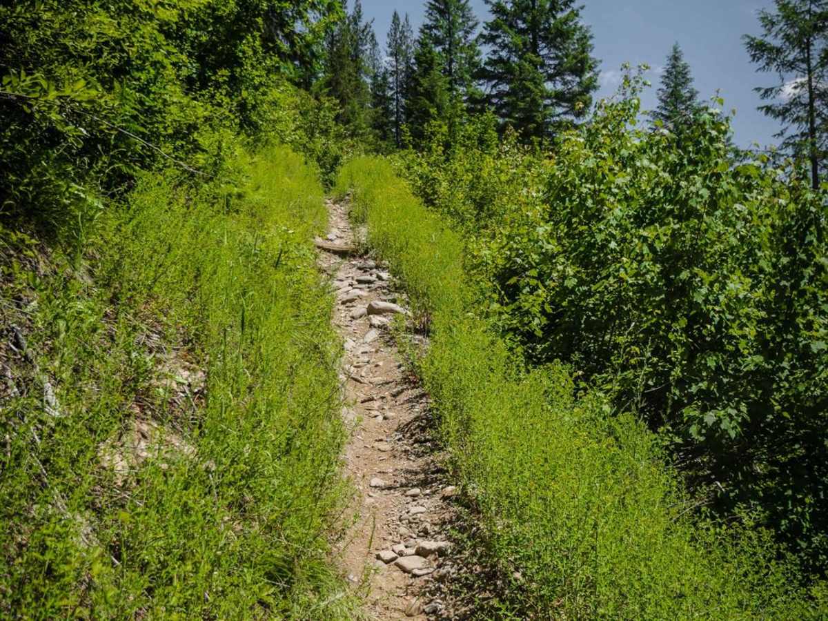
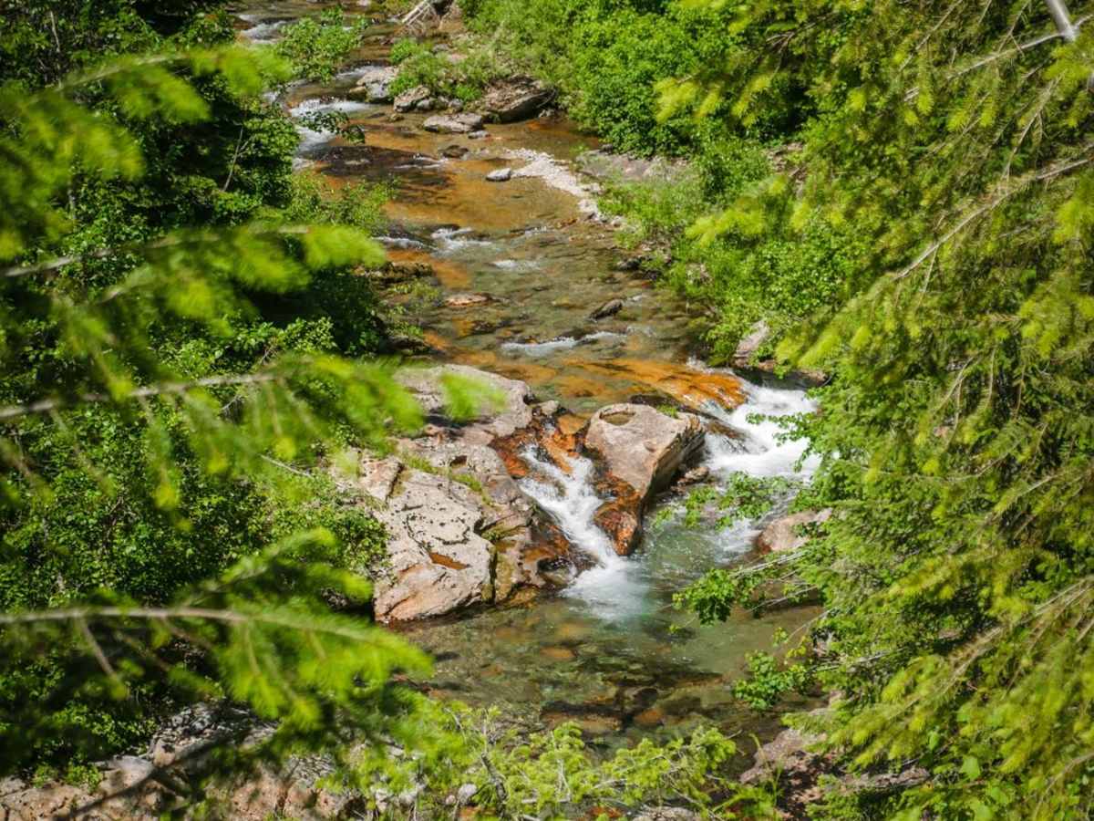
Trail Overview
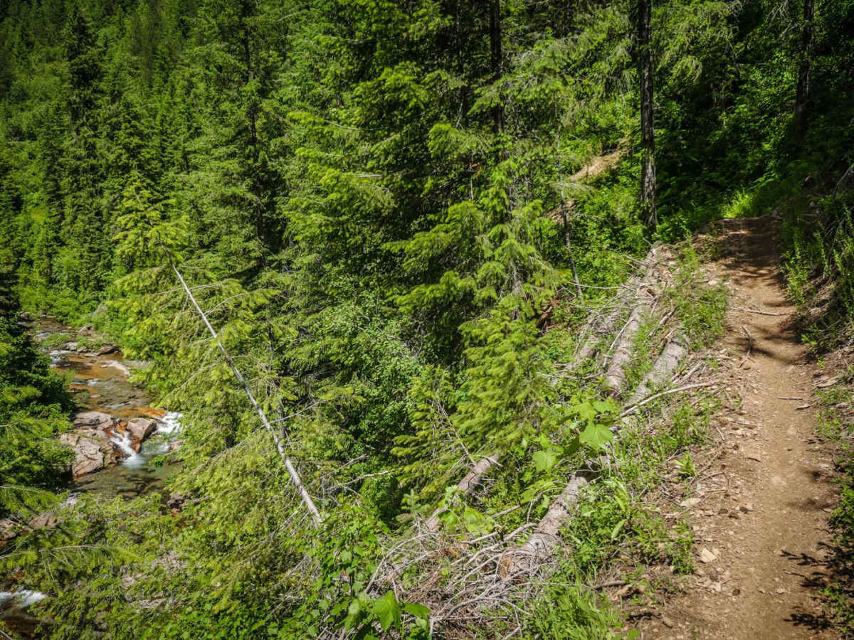
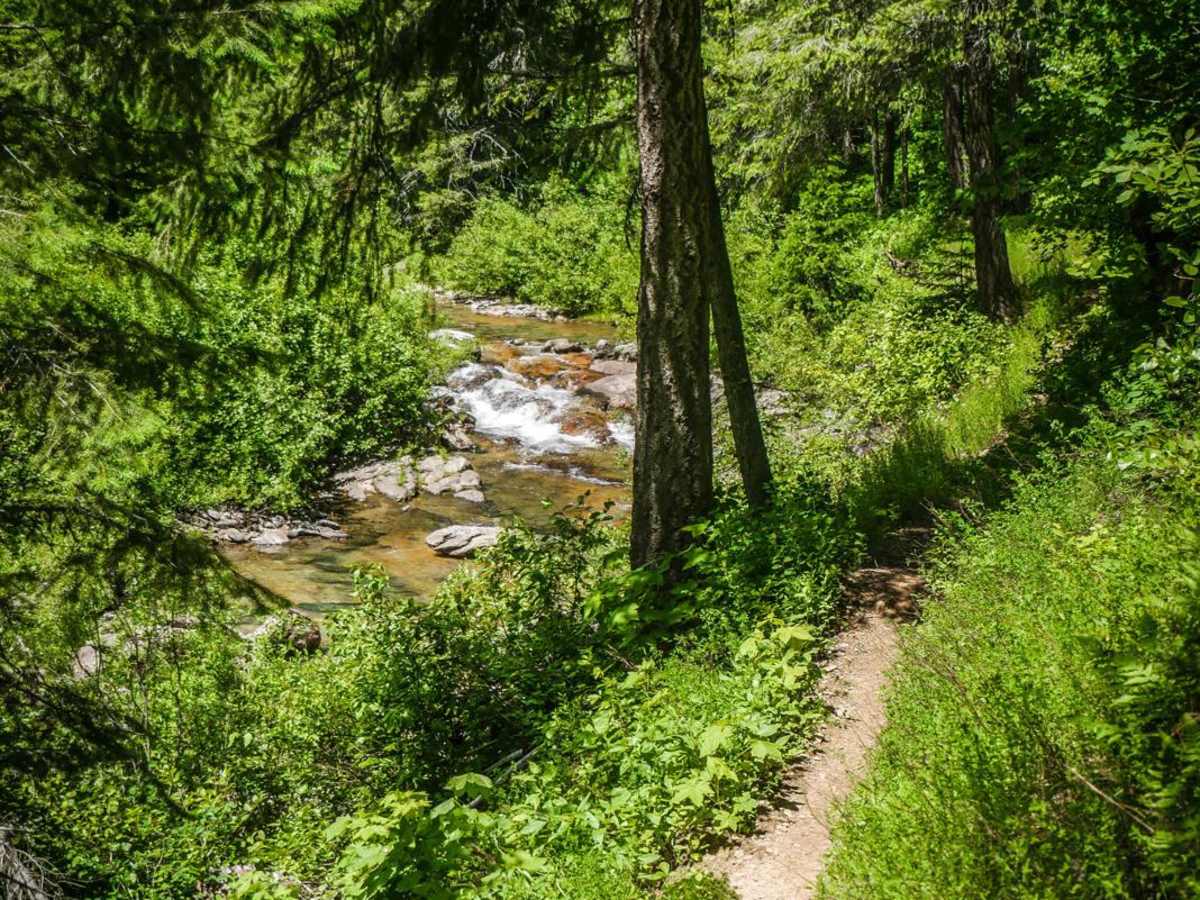
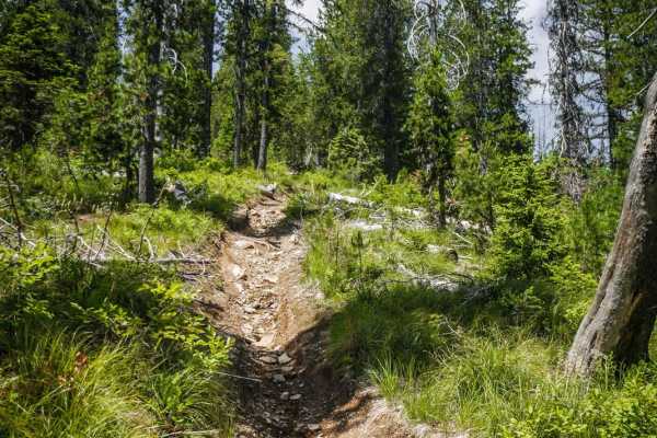
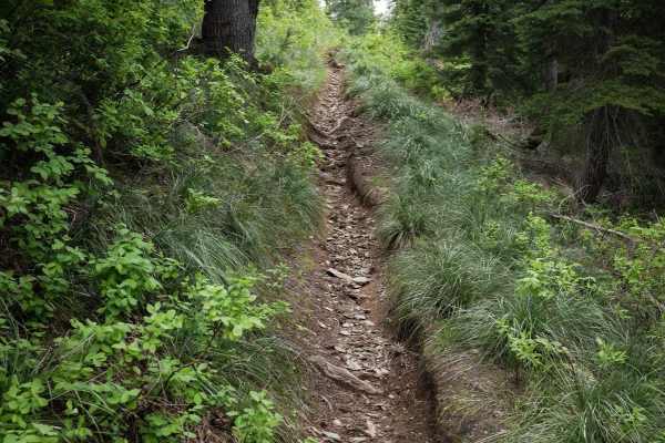
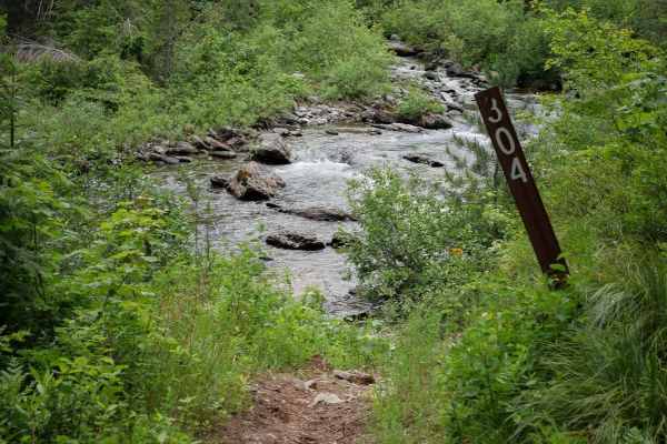
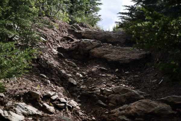
This is a skinny single-track trail with significant exposure as it parallels a creek the whole way. The trail is elevated above the creek, sometimes 20 or 30 feet above the creek at times. It's mostly smooth dirt, with a few rockier sections, so the trail itself is pretty easy, but the exposure and narrowness add difficulty. You really have to watch where you're going because it's a higher consequence being on the side of the mountain. There's some bigger rock embedded in the surface or loose on top for a couple of sections. The trail has one small and easy stream crossing before the intersection with Dam Creek, and two challenging creek crossings after this intersection. The creek crossings are 15-20 feet long and pretty rocky. The exposed sections of the trail are in full sun with no trees, but the trail also goes into the trees when it drops down closer to the creek. The rest of the trail is a dead end after the intersection with Dam Creek and this part of the trail appears to be less ridden. It gets faint and has a few downed logs across the trail. Most riders probably turn at the intersection to make a loop instead of riding to the dead end. This is a really epic and scenic trail if you are okay with the exposure.