Trail Overview
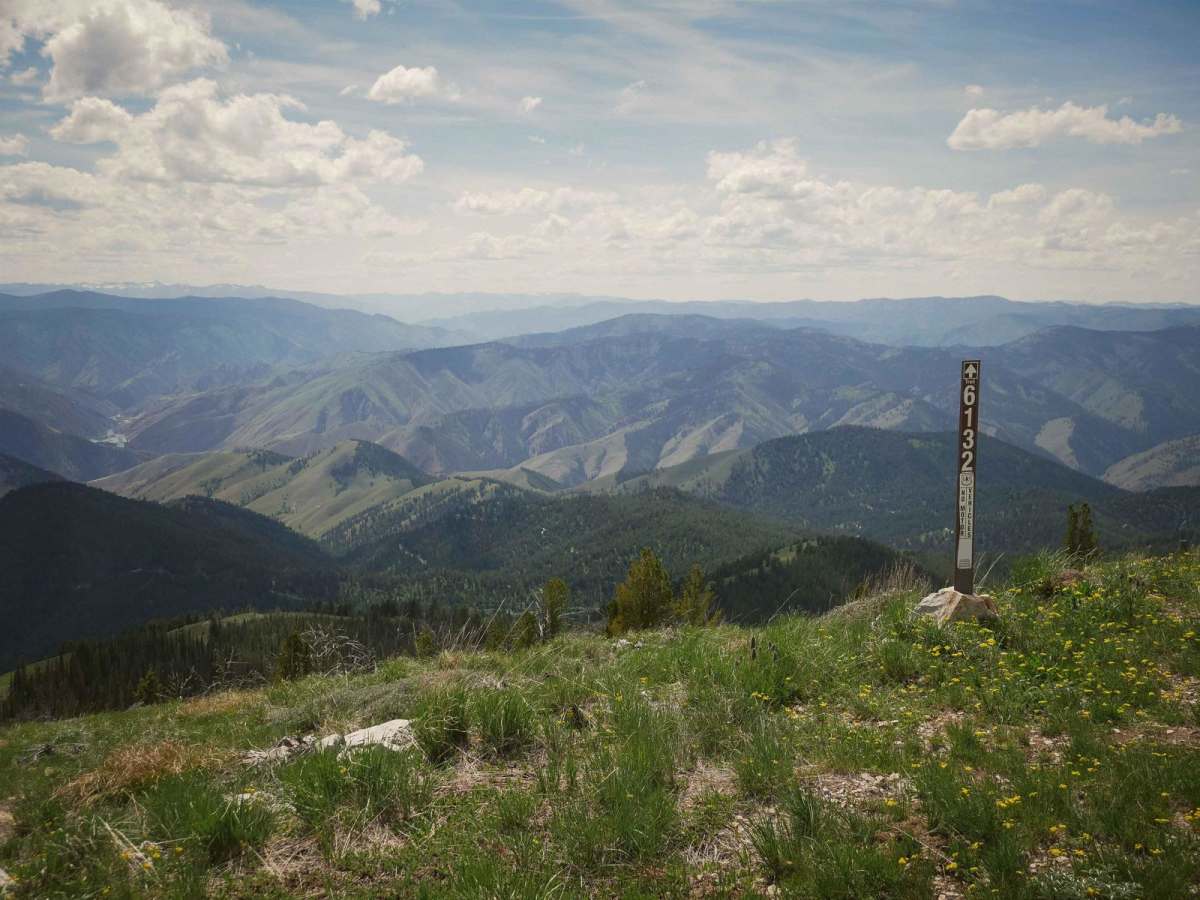
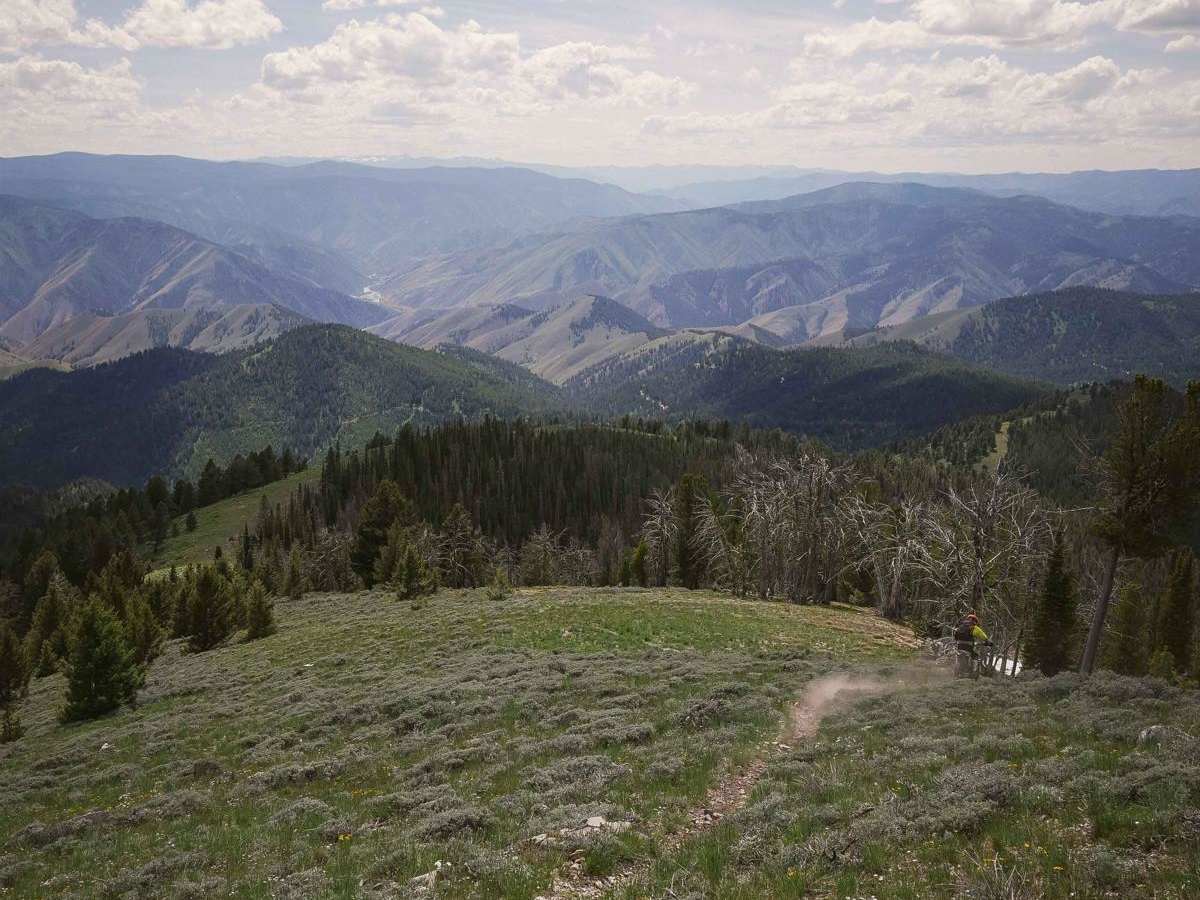
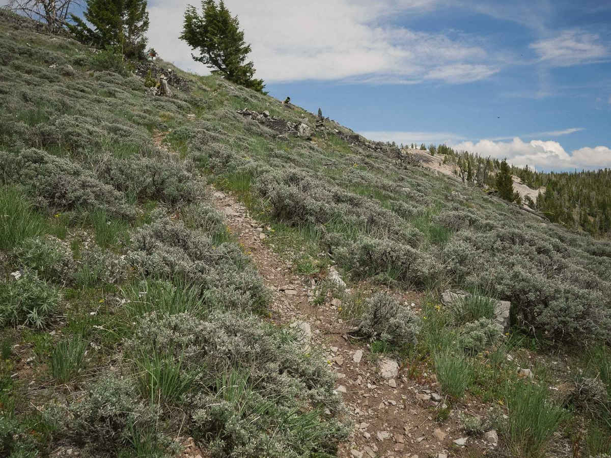
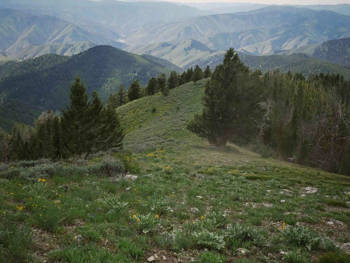
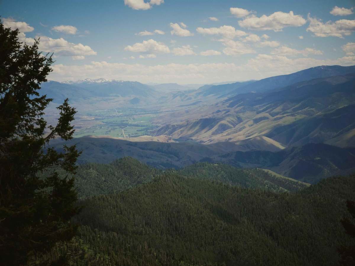
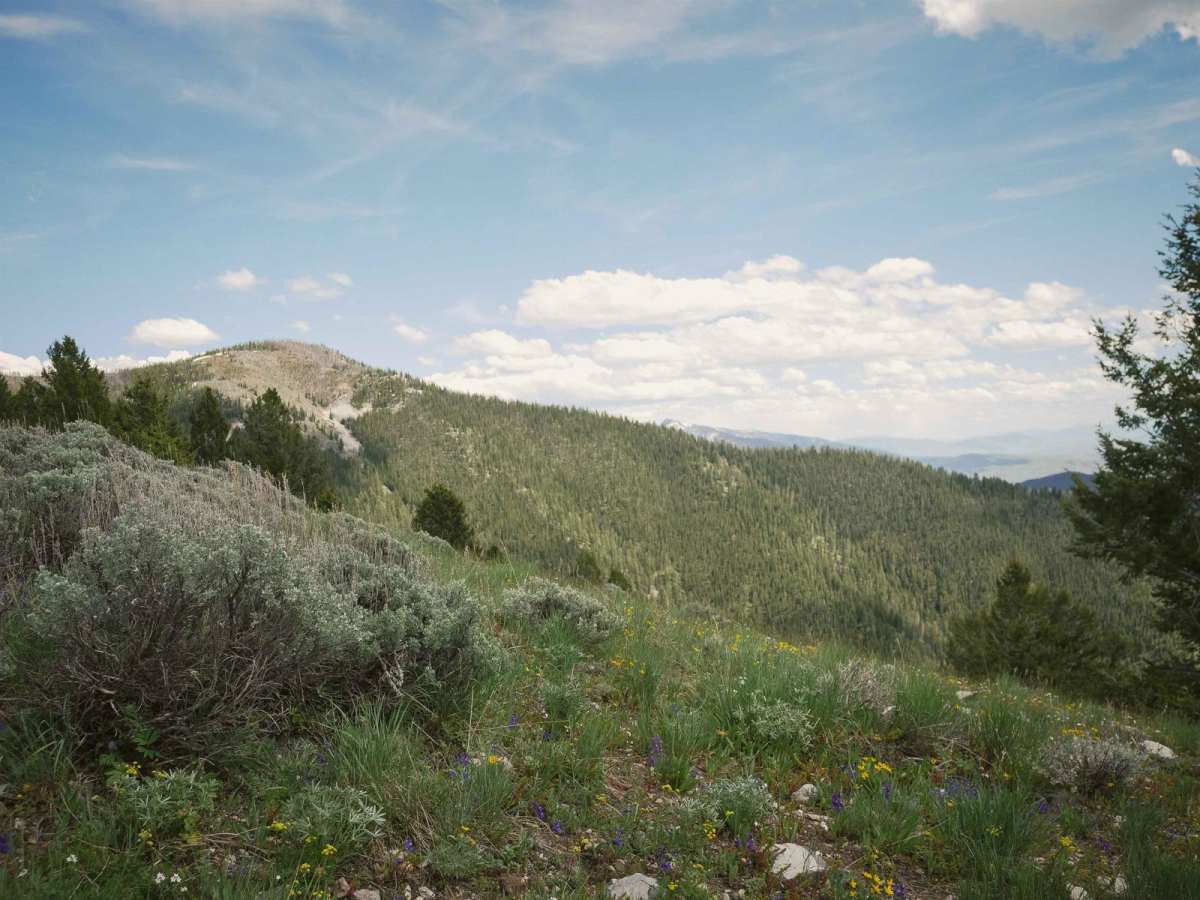
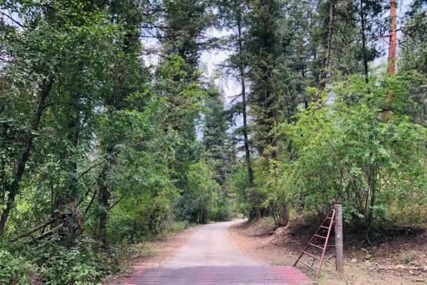
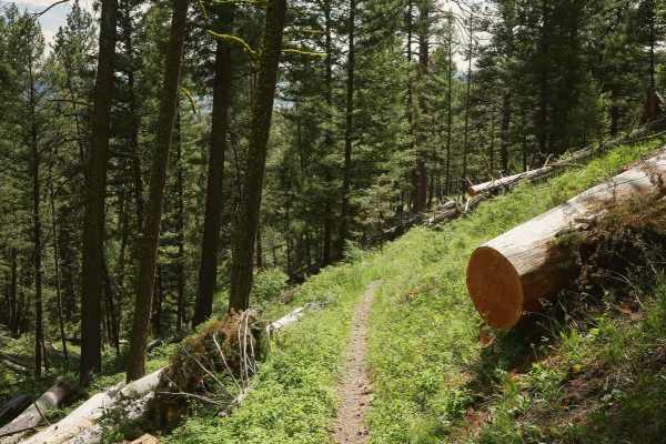
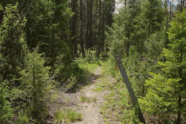
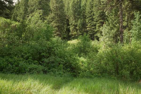
Stein Mountain is a 2.8-mile-long singletrack in the Salmon National Forest that is open from 5/22 to 9/7. The east end starts at the summit of Stein Mountain, above 8,500 feet elevation, where there is a radio tower. As you go west, it loses more than 2,000 feet of elevation over less than 3 miles, so there are many steep downhills. Most of the trail follows an epic ridgeline, with amazing views of the Beaverhead Mountains, through fields of wildflowers in spring. It goes along the top of the mountain through grassy meadows full of sagebrush, then drops into more pine trees, still along the spine of the mountain. The harder parts of the trail include many sections of really steep straight downhill. It's a really narrow and skinny primitive trail for a lot of it, with sections that are overgrown. Lots of overgrown grass shows that this trail is lightly trafficked, and you may not see anyone else out here. There aren't any specific obstacles, but there is lots of rocky cobble on the surface of the trail.
Difficulty
This trail is intermediate difficulty due to lots of really steep sections full of rocky cobble that could be difficult for the inexperienced rider, as well as narrow and exposed sections as it side-hills across the mountain slopes.