Trail Overview
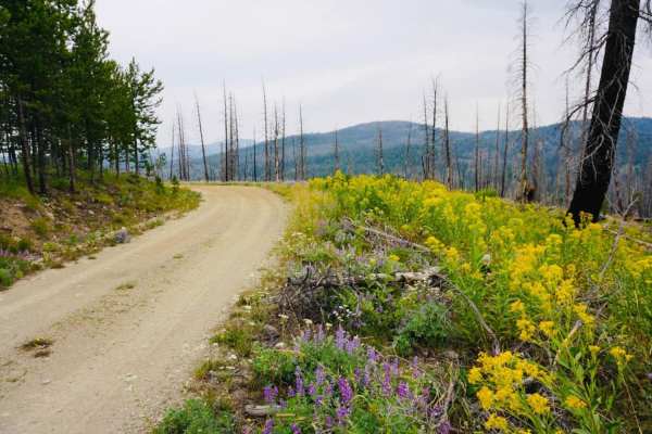
Noho Creek offers a scenic and remote backcountry escape for four-wheel-drive vehicles, SxSs, and ATV operators seeking a lesser-traveled route through rugged forest terrain. Spanning approximately 4.7 miles, the trail begins at the intersection of Kelly Creek Road and Kelly Creek ATV Trail (Forest Service Road 4323) at an elevation of roughly 6,612 feet. It starts as a wide two-lane road before narrowing to a single-lane dirt track near the forest service gate at the Joe's Gulch intersection. As it climbs to a peak elevation of 7,500 feet, travelers will encounter tight, overgrown corridors and narrow shelf roads that offer sweeping mountain views but demand careful tire placement.
While the technical difficulty is relatively low, the trail is not regularly maintained by the Forest Service, making downed trees a common obstacle. Bringing a chainsaw is highly recommended, as deadfall frequently blocks the route, often ending trips early for unprepared rigs. There is little to no dispersed camping available along the route, making it best suited for a day trip. The track features a cumulative elevation gain of around 377 feet and a descent of 882 feet, winding through quiet stands of timber and high-altitude brush before reaching its terminus.