Modoc Roads

Total Miles8.7
Technical Rating
1Easy
Best TimeSpring, Summer, Fall
Trail TypeFull-Width Road
Accessible By
Open Trail Map

Trail Overview

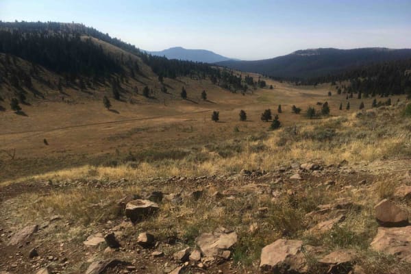
This route is a series of Forest Service roads provided to assist visitors from the end of the West Modoc Creek Trail to the service road on Interstate 15. From that point, travelers can find their way on the access roads to the village of Monida to the north or to the Stoddard Creek campground to the south. Interestingly, these roads roughly parallel the Continental Divide to the north.

Difficulty

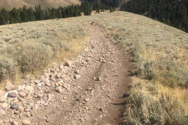
These are typical Forest Service dirt roads.

Technical Rating

1

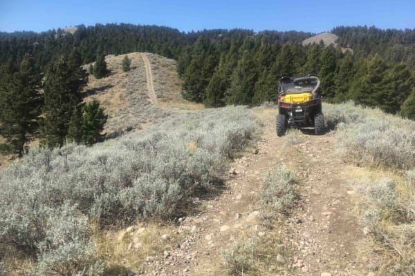
Modoc Roads Trail can be accessed by the following ride types:

  • Single Track
  • 50 Inch
  • 60 Inch
  • High Clearance
  • Full Width

Modoc Roads Map

The onX Offroad Difference

onX Offroad combines trail photos, descriptions, difficulty ratings, width restrictions, seasonality, and more in a user-friendly interface. Available on all devices, with offline access and full compatibility with CarPlay and Android Auto. Discover what you're missing today!

Open Trail Map