Trail Overview
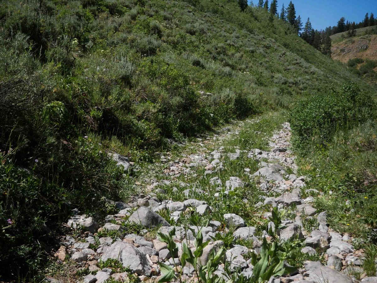
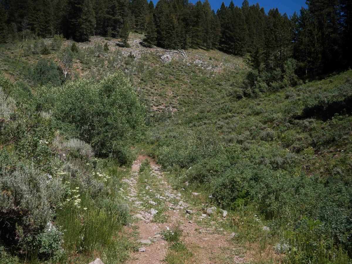
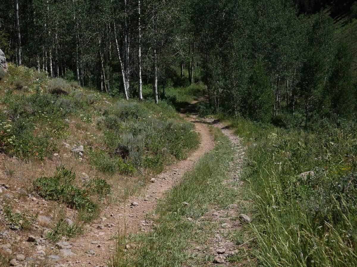
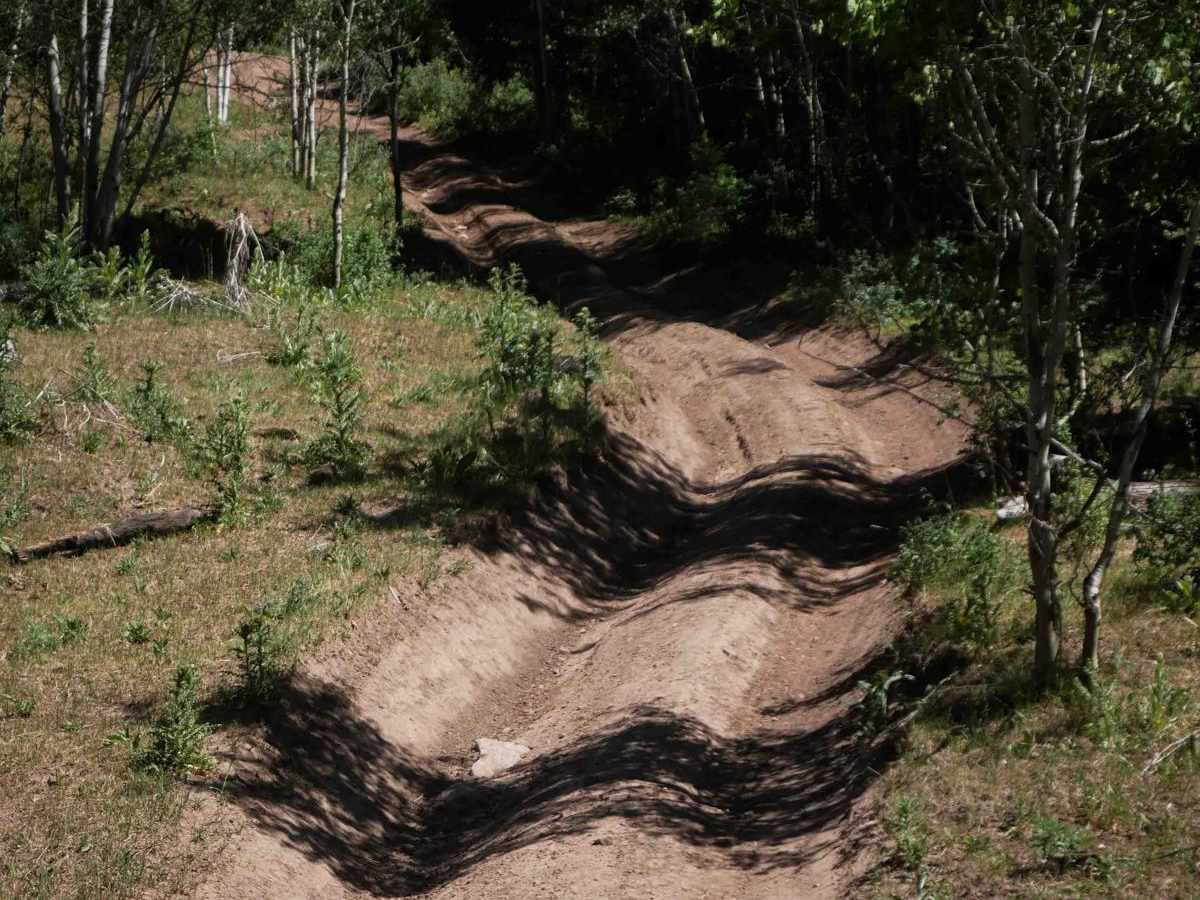
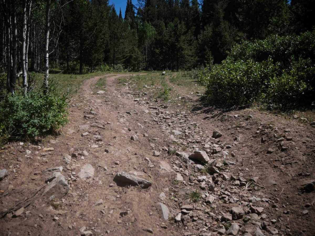
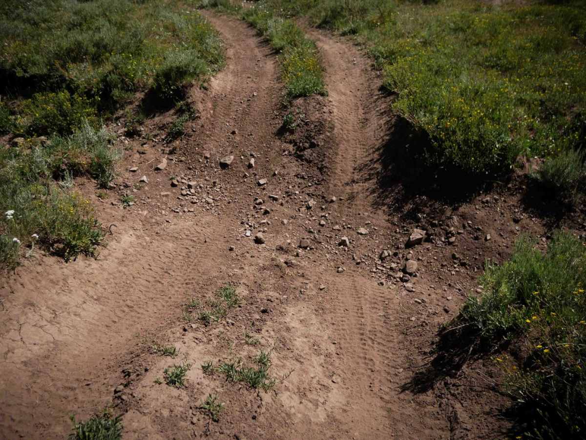
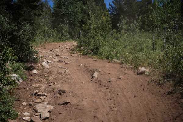
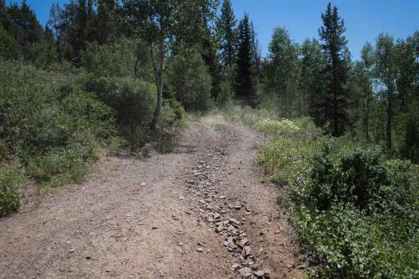
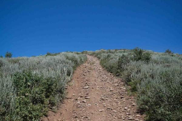
Meadow - Sadie Springs #5225 is an intermediate 4.3-mile-long ATV trail in the Caribou National Forest that is also used as a snowmobile route in the winter. It begins at the intersection with trails #5226 and #5232 on the north end, starting wide and flat and straight, resembling an old road. The northern stretch features a couple of one-foot deep ruts, small loose rocks, and large waterbars. As the trail progresses through the forested terrain, it has a few gradual turns and mild grades, aside from one steep, rutted climb. Near the southern end, the route pops out into a scenic drainage flanked by open hillsides. A rocky stretch through this drainage includes a long section of large round river rock that makes for a rougher and slower ride. Riders also cross multiple 50-inch pinch points and cattle grates along the way. The southern end becomes grassy and faint before it exits onto Big Basin Ridge Road #51251, providing access to additional ATV trails in the area.
Difficulty
This is an intermediate trail due to the one steep, rutted climb and extended section of large river rock that adds technical challenge. The rest of the trail is easier, and it remains easy to follow throughout the route.