Trail Overview
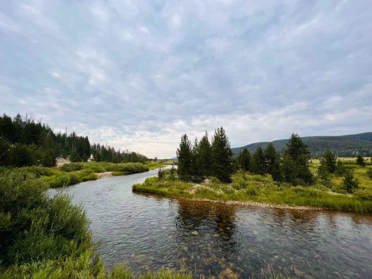
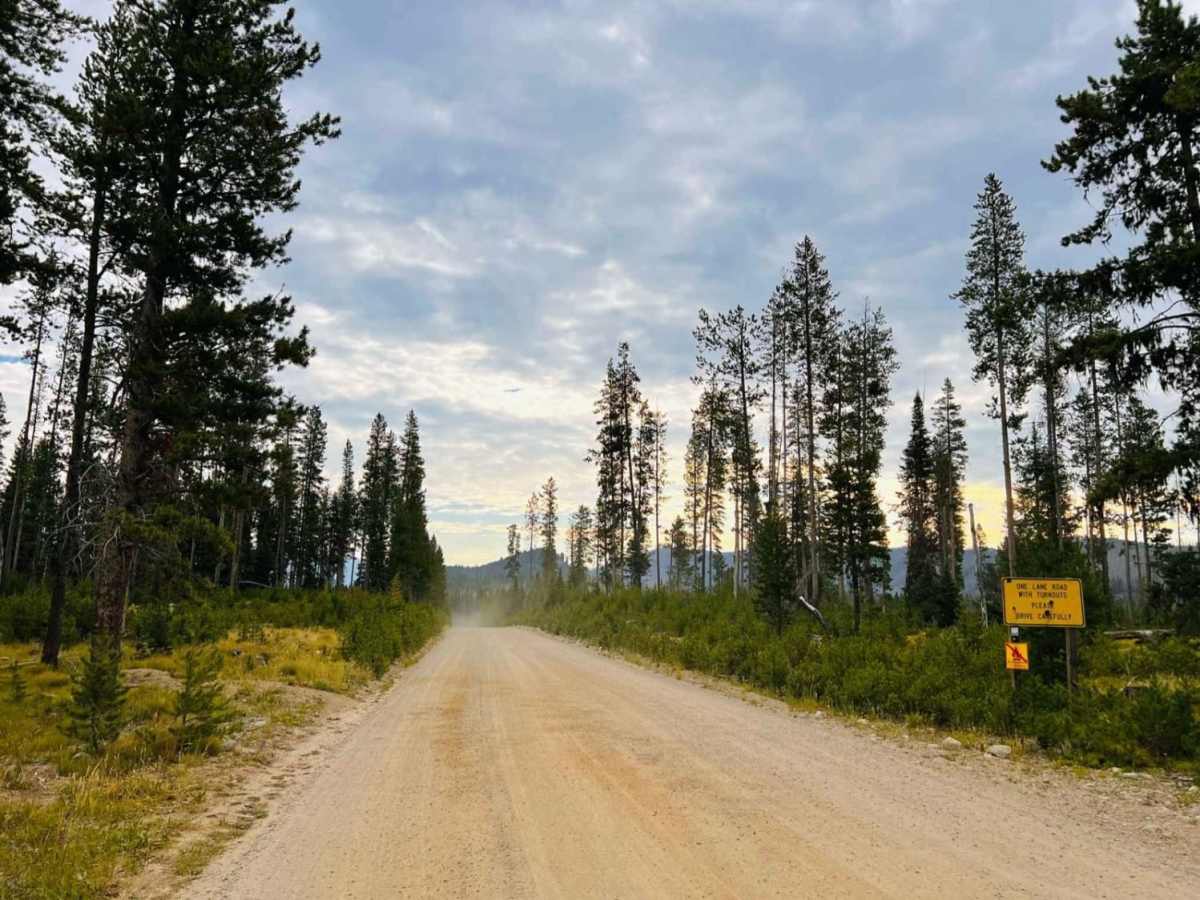
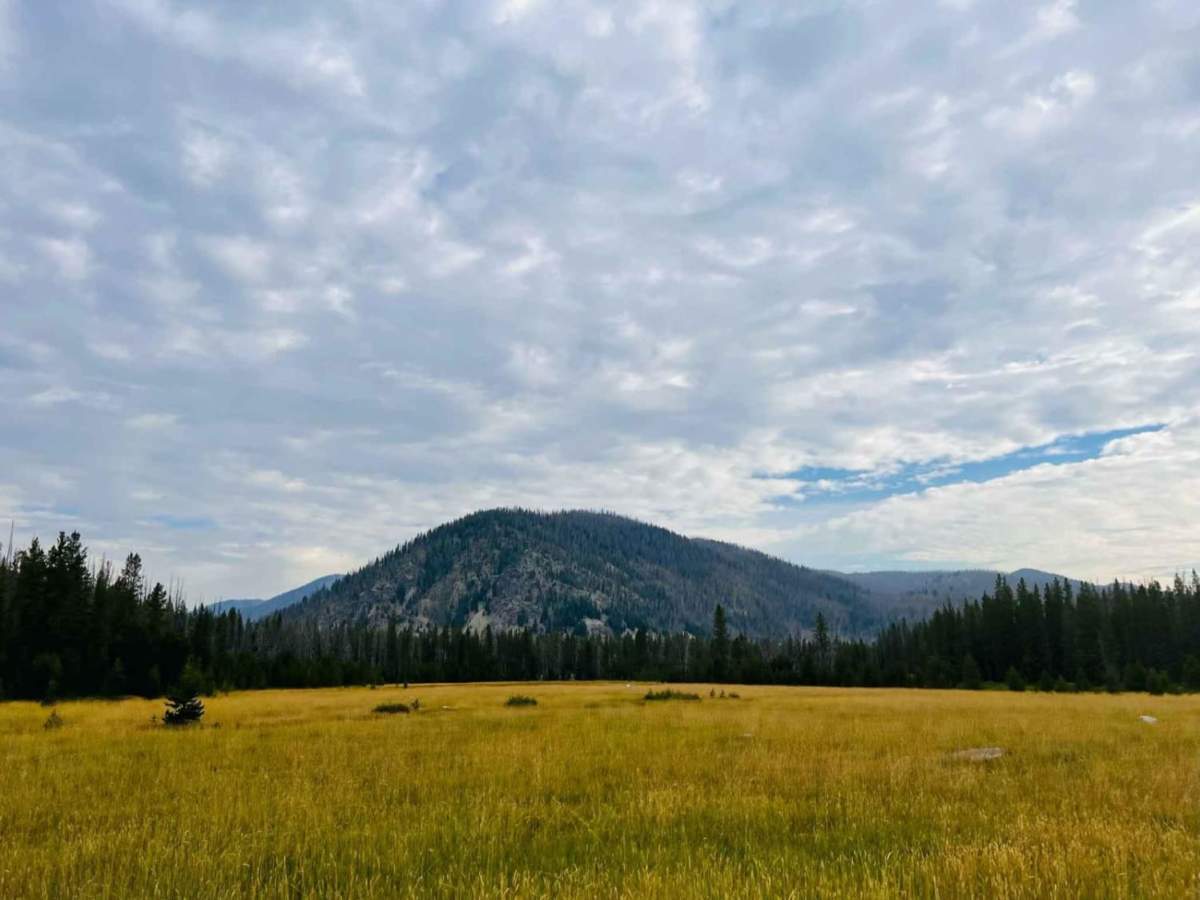
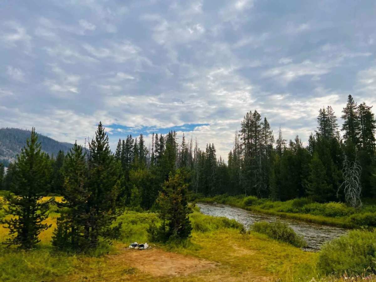
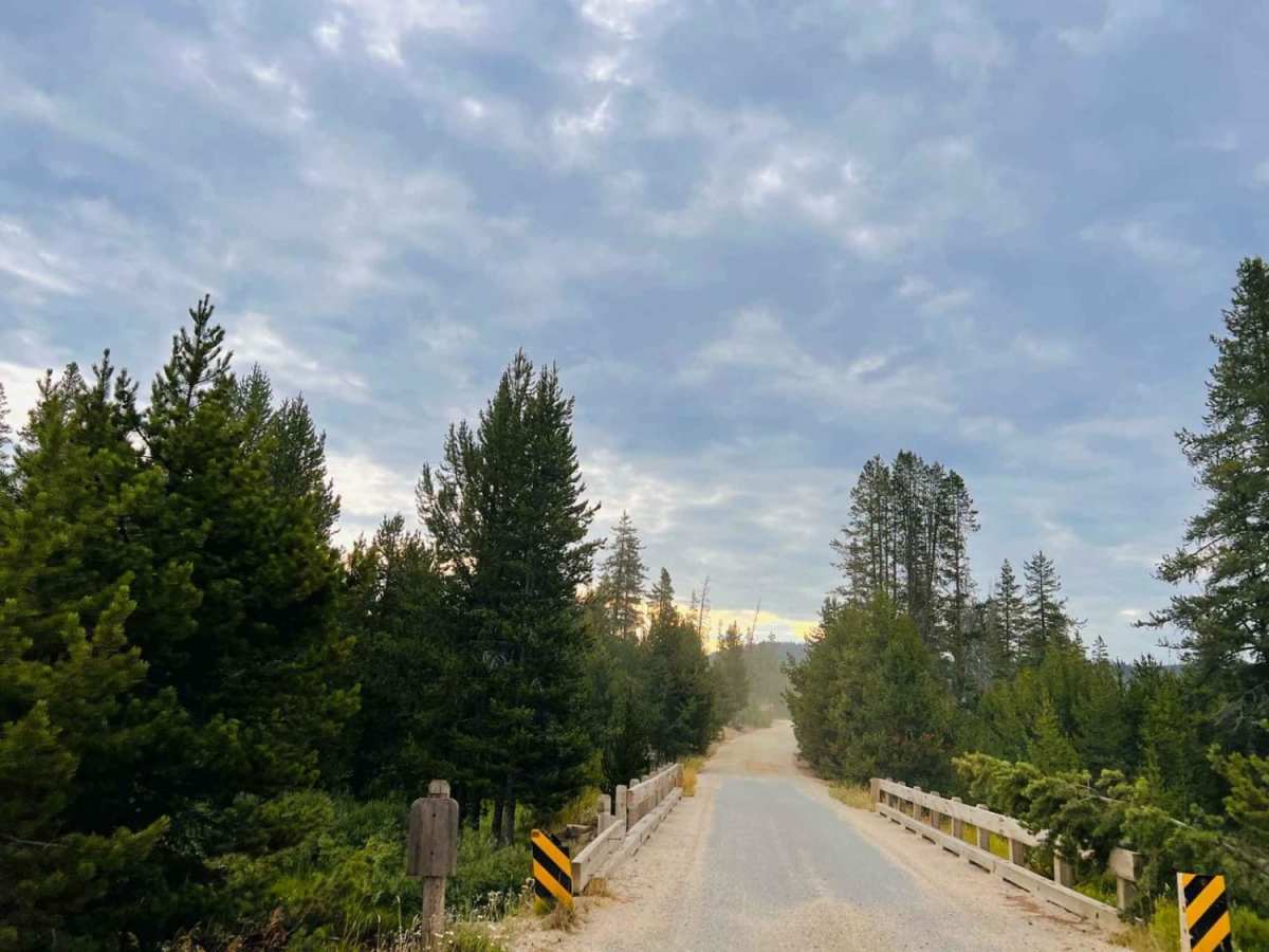
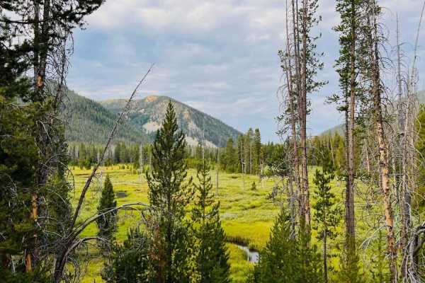
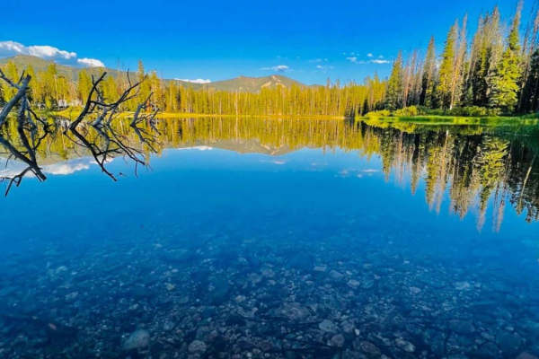
Marsh Creek Scenic Trail offers a relaxing yet highly scenic escape for stock four-wheel-drive vehicles, SUVs, and SxSs looking to bypass Highway 21 for a more immersive wilderness experience near Stanley, Idaho. This roughly 8.3-mile route serves as an easy, stunning alternative that winds through pristine wetlands, lush meadows, and evergreen forests, showcasing breathtaking, panoramic views of the Sawtooth Mountains. Ranging in elevation from 6,507 to 6,686 feet, the graded gravel and dirt trail is generally straightforward with a gentle elevation gain of about 197 feet, making it accessible to beginners and experienced drivers alike. Along the way, travelers can expect bumpy dirt surfaces, spectacular crossings of alpine creeks, and opportunities to spot large herds of roaming antelope or sandhill cranes.
While the route is technically rated a 2 and presents no major obstacles, drivers should remain alert on several narrow stretches where passing oncoming traffic requires backing up to designated pullouts. The trail serves as a gateway to a broader network of offroad trails and exceptional dispersed camping sites, perfect for extending an overlanding adventure. There is no winter maintenance or cell service along this route, so visitors should plan ahead, carry offline maps, and expect snowy or impassable conditions during the late fall through spring months. Traveling south towards Stanley is highly recommended to keep the jaw-dropping vistas of the Sawtooth peaks directly in your windshield.