Little Joe Creek FS 282

Total Miles14.4
Technical Rating
1Easy
Best TimeSummer, Fall
Trail TypeFull-Width Road
Accessible By
Open Trail Map

Trail Overview

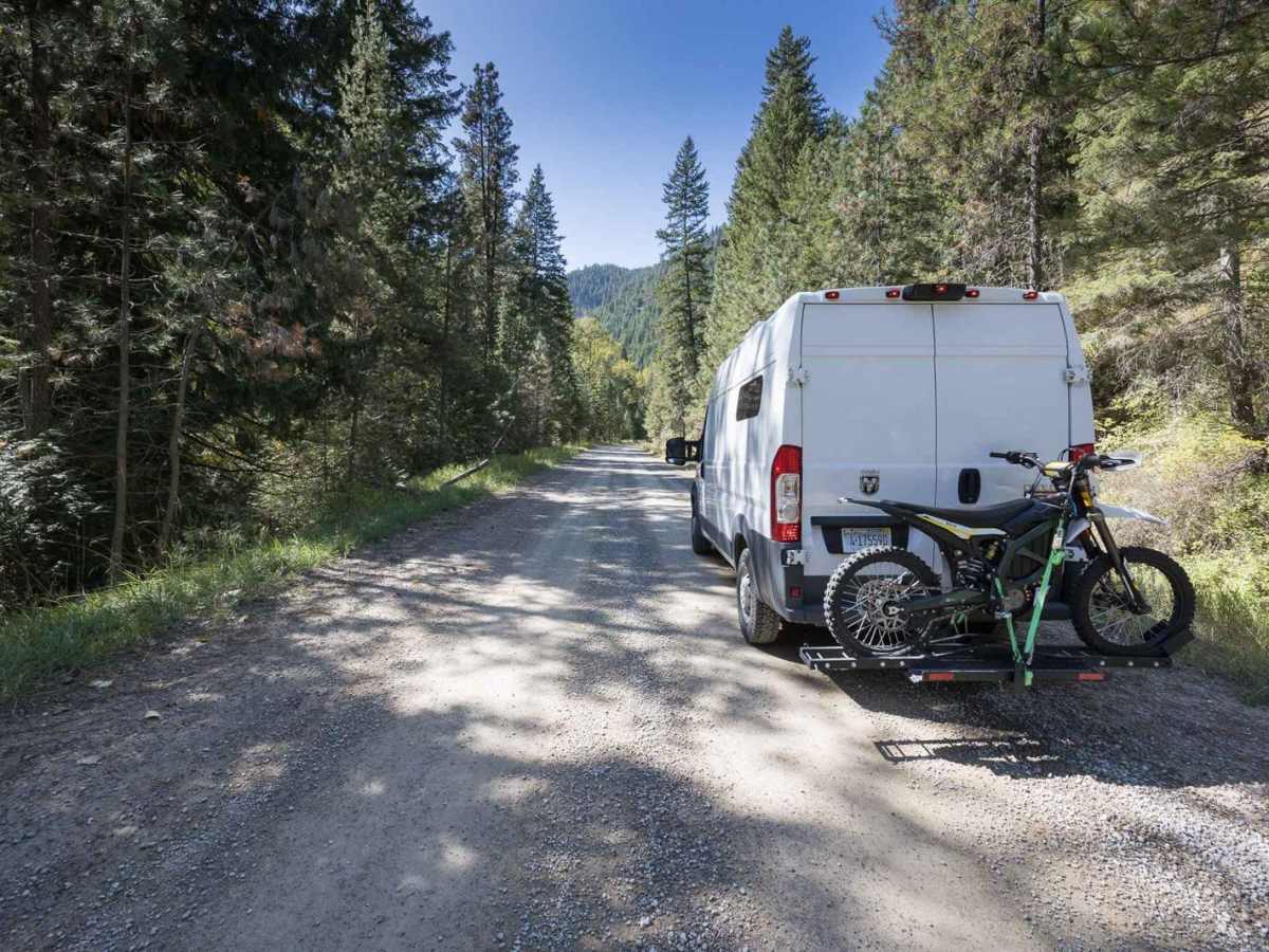
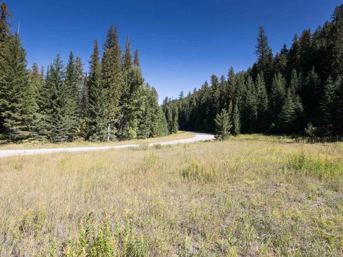
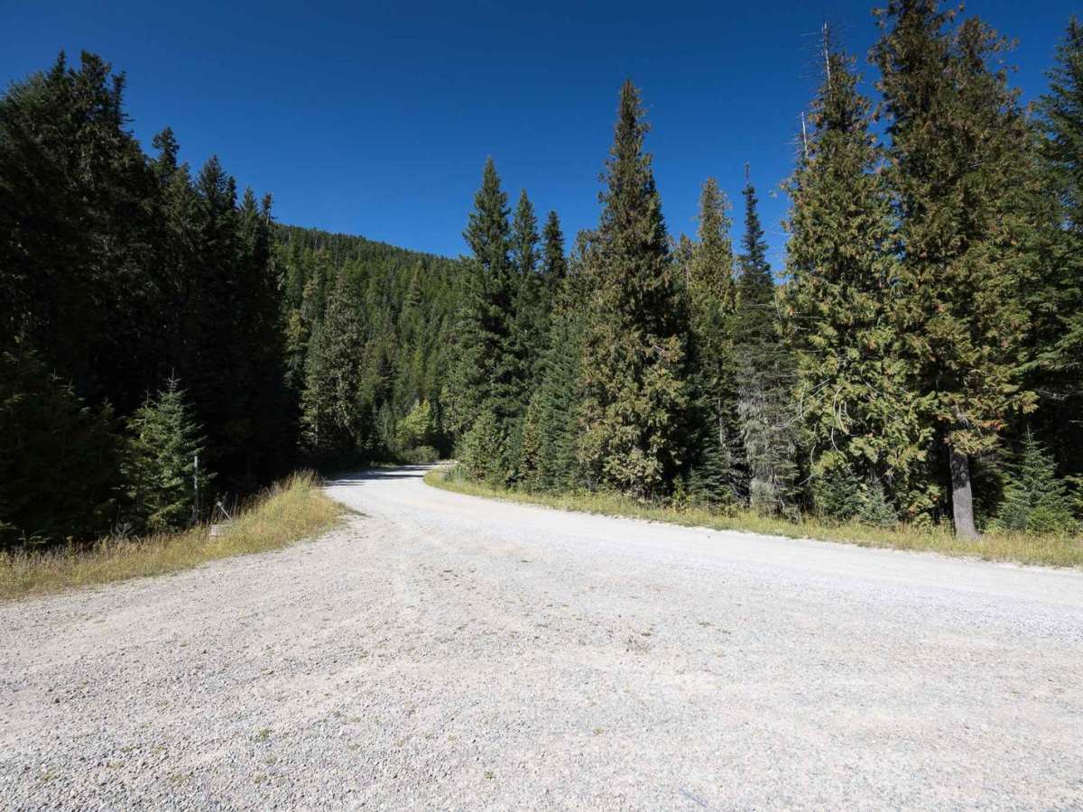
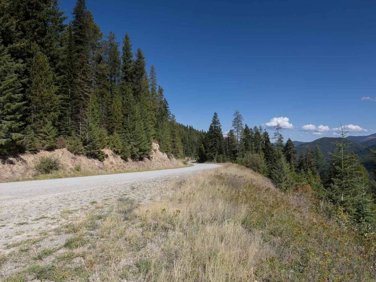
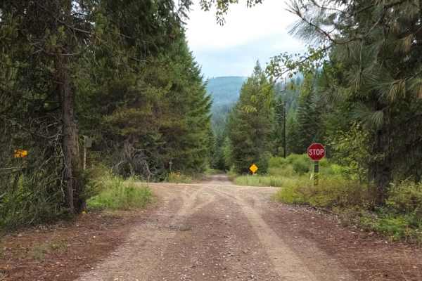
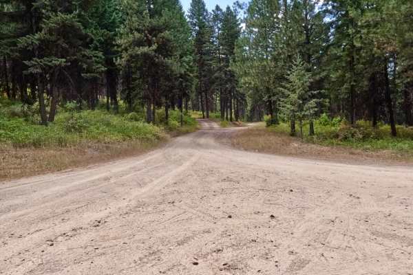
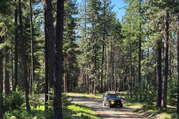
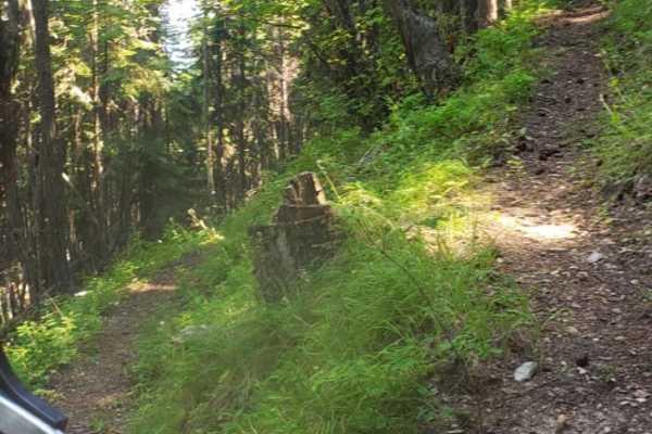
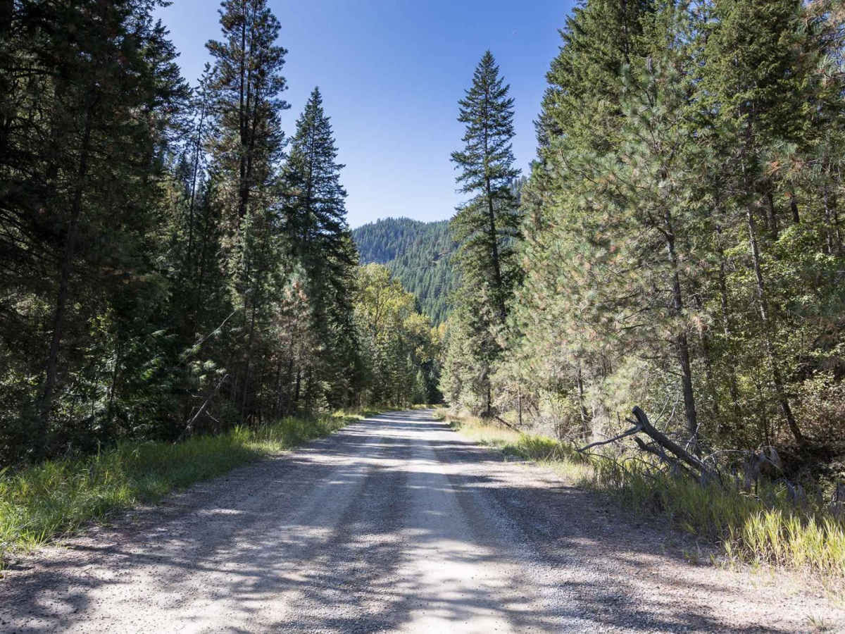
This is a direct route to the St. Joe River corridor when coming from Montana via St. Regis. The route has established and dispersed camping as well as both hiking and OHV trails branching off. The road is in excellent condition except for a few sections of washboard. It is also extremely wide with plenty of room for large vehicles to pass.

Photos of Little Joe Creek FS 282

Difficulty

This road is not maintained for winter travel, but most vehicles should be able to travel this gravel route during summer and fall. It's very wide in most places with a few spots of heavy washboard.

Technical Rating

1

Status Reports

Add Status Report
Joshua Akins
Sep 01, 2024
Temporarily Closed
Trail Restoration
Supposed to open Sept. 1 but extended to Oct. 1
Rod Gratzer
Jul 10, 2024
2021 Polaris General XP 1000
Temporarily Closed
Trail Restoration
They are doing culvert replacement.
Ben Campbell
May 05, 2024
2016 GMC Canyon
Obstructed
Deep Snow
Road was clear to just past Twomile Creek. Snow is about five feet deep.

Little Joe Creek FS 282 Trail can be accessed by the following ride types:

  • Single Track
  • 50 Inch
  • 60 Inch
  • High Clearance
  • Full Width

Little Joe Creek FS 282 Map

The onX Offroad Difference

onX Offroad combines trail photos, descriptions, difficulty ratings, width restrictions, seasonality, and more in a user-friendly interface. Available on all devices, with offline access and full compatibility with CarPlay and Android Auto. Discover what you're missing today!

Open Trail Map