Trail Overview
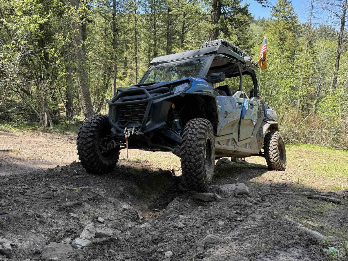
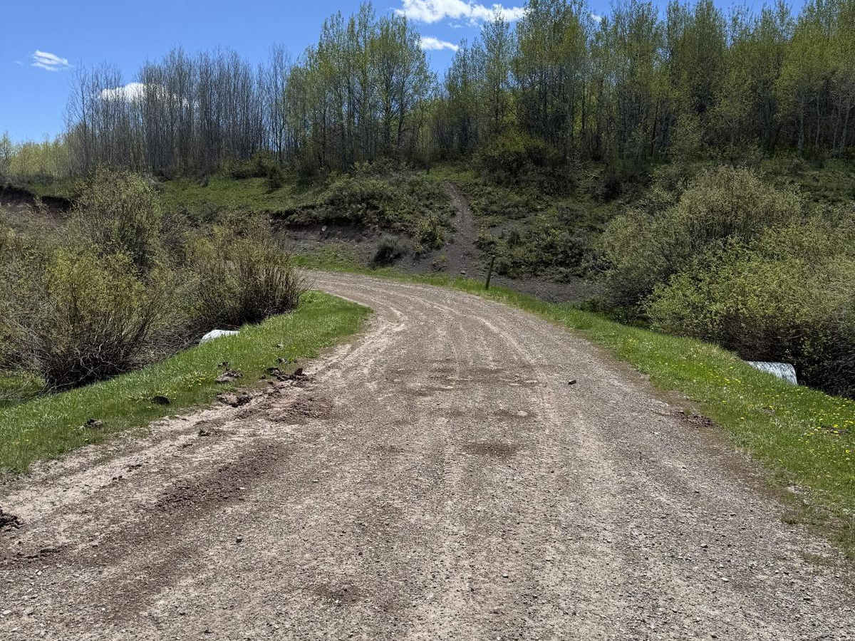
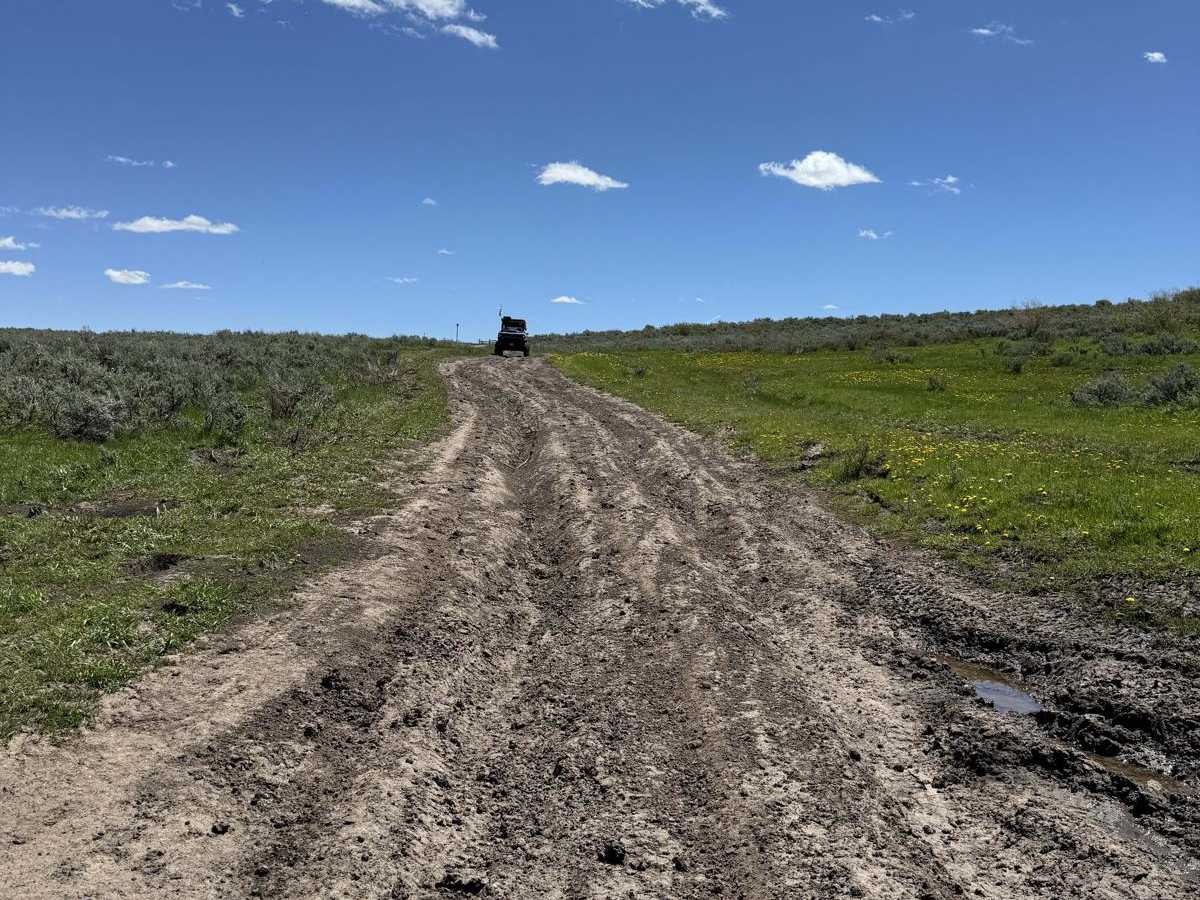
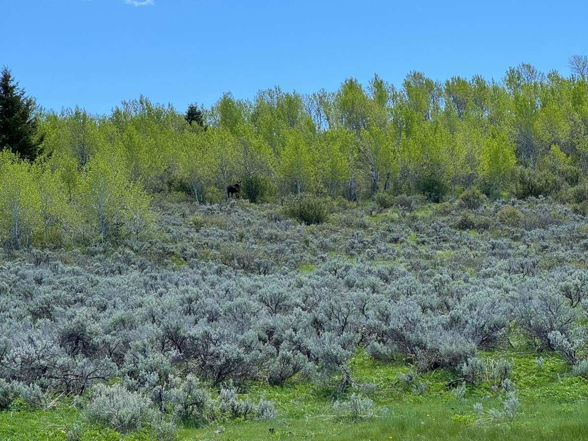
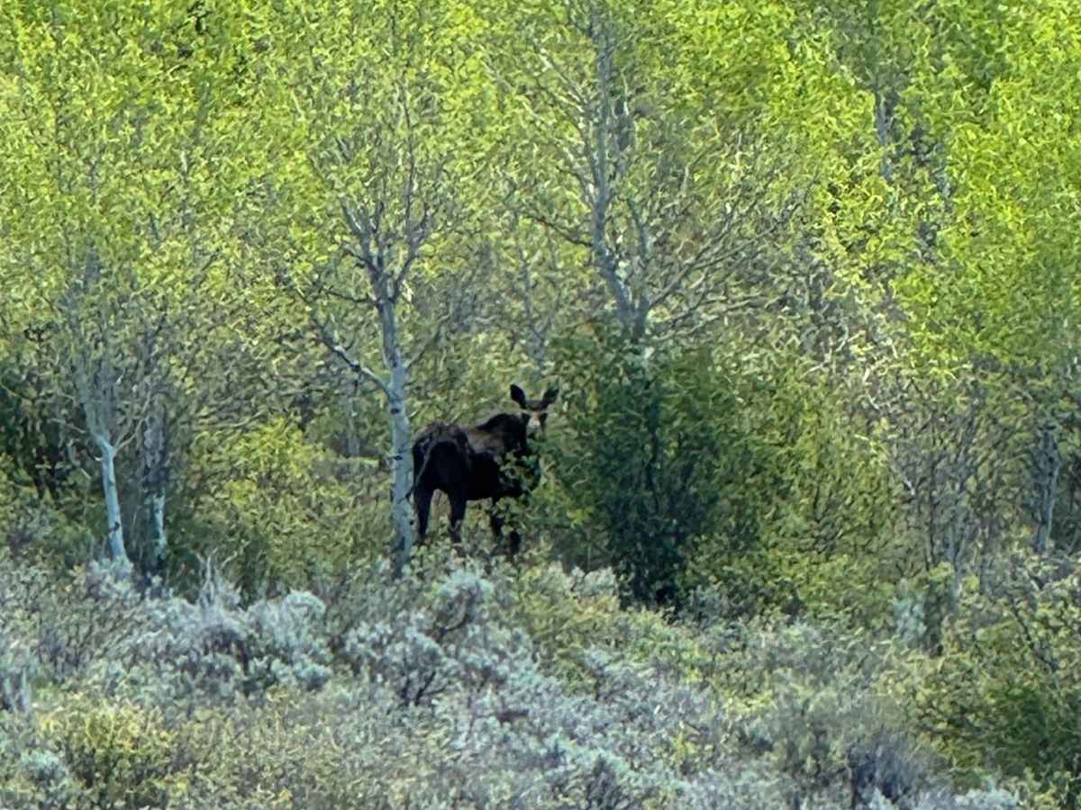
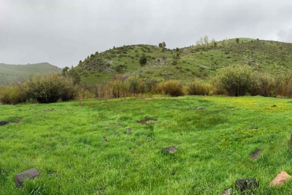
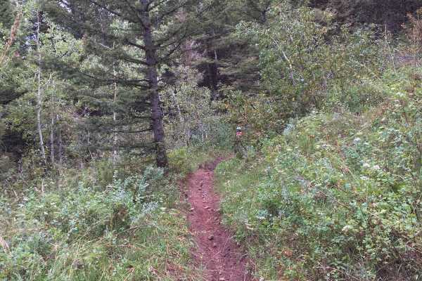
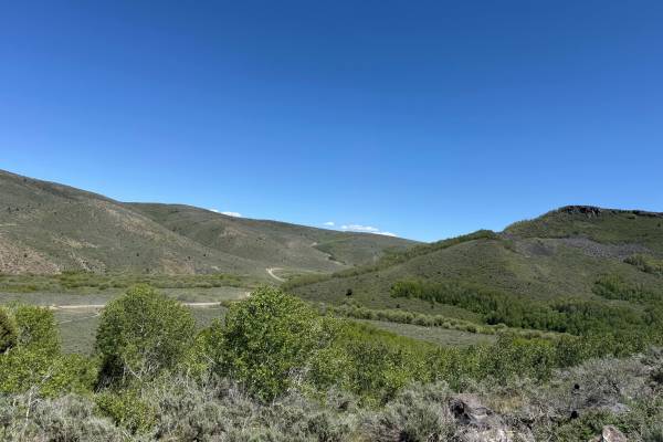
June Creek Trail is located in the beautiful Caribou Range, with significant sights to see. It gives riders the opportunity to see the Grand Tetons from a different angle than most are used to, with Caribou Mountain on the horizon from time to time. The trail depending on the time of year can be very different. Spring time will give you lots of mud with deep ruts and Summer will be dry and hot, probably rutted still if the trail hasn't been maintained.The trail runs along sage brush fields littered with Aspen trees. As you climb in elevation, the trail starts to get into the tree line. Towards the end of the trail there is a section that I would call an obstacle, if in either a SxS or high clearance 4x4, I would still use 4WD and a locker due to the steepness, rocks, ruts, and exposed tree roots.
Difficulty
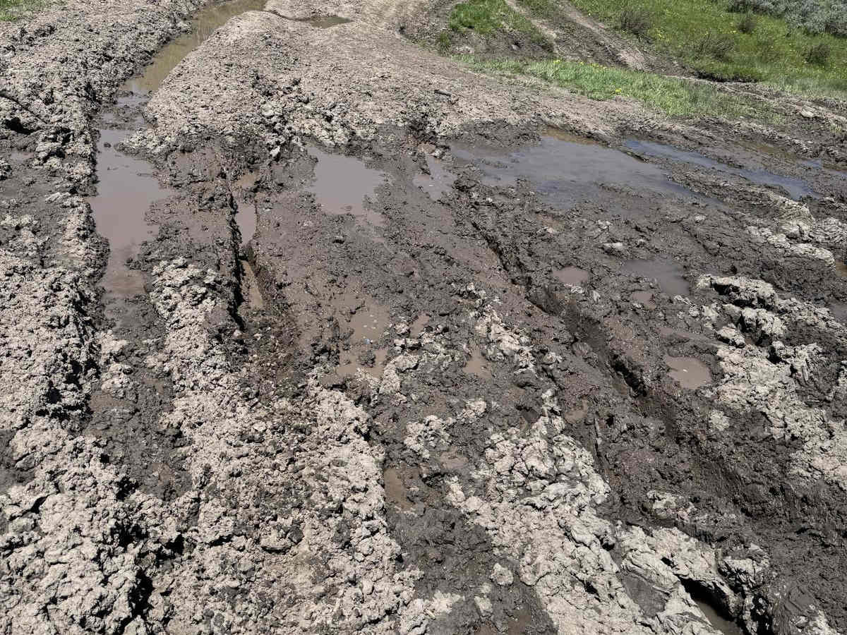
The trail is pretty easy, but can be severely rutted. There are some mud holes that I do not recommend going through unless you have other rigs and recovery gear. There is an obstacle that may be difficult and scare inexperienced drivers and riders, due to the steepness, rocks, ruts, and exposed tree roots.