Trail Overview
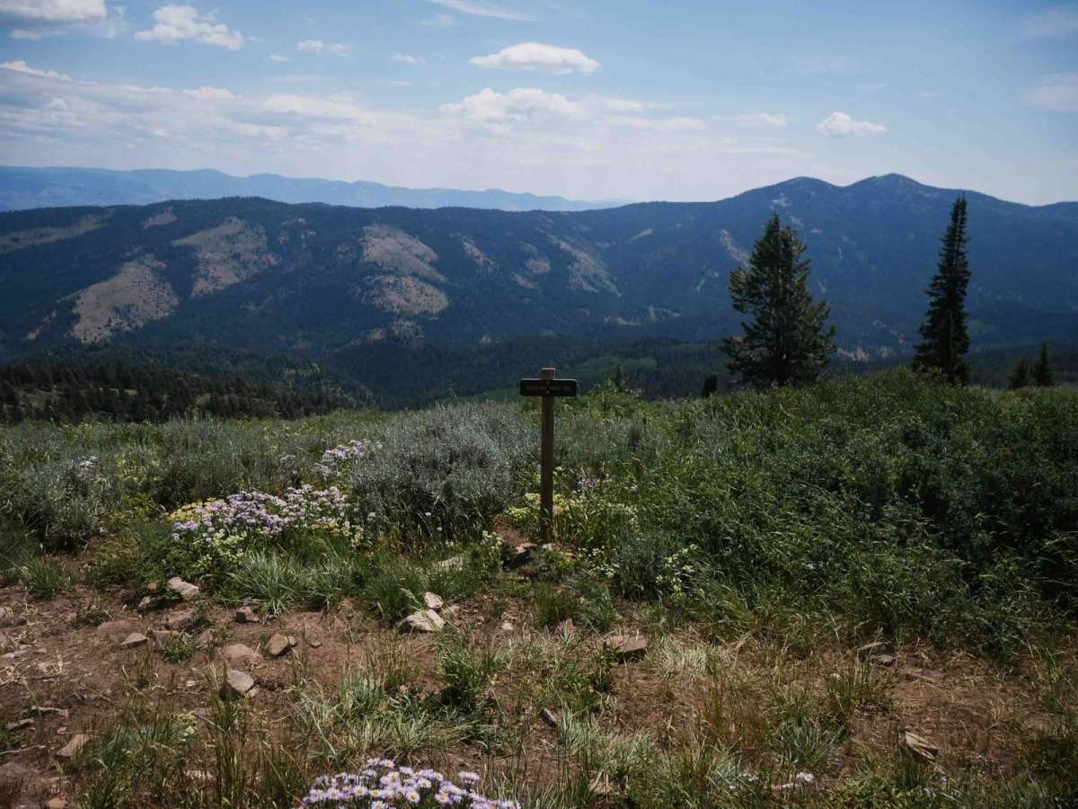
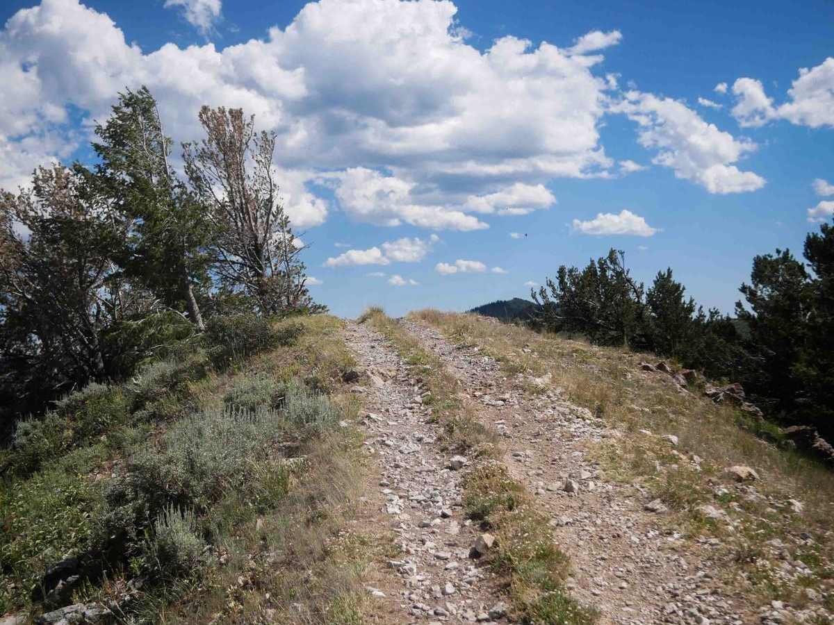
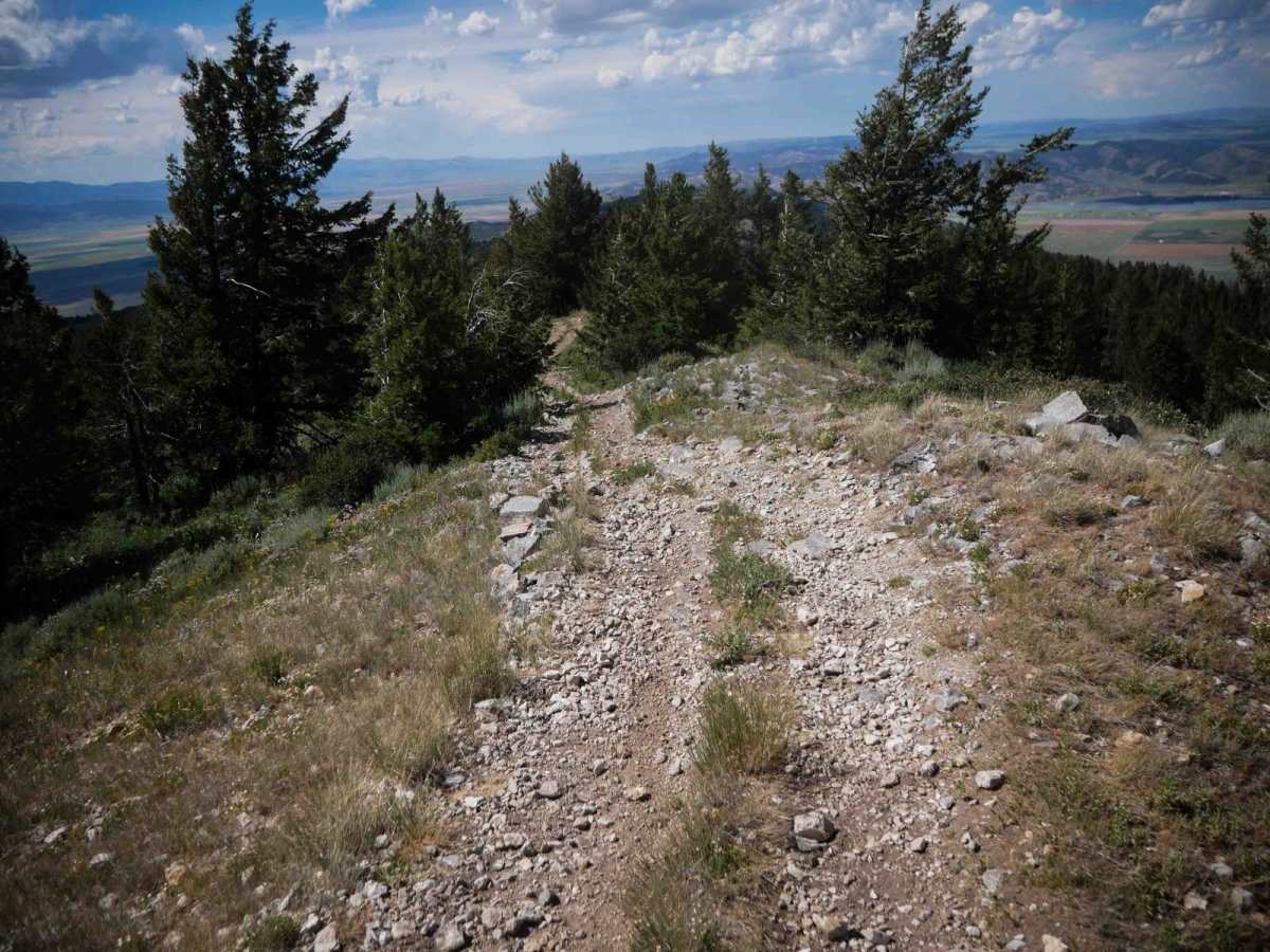
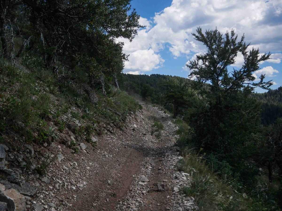
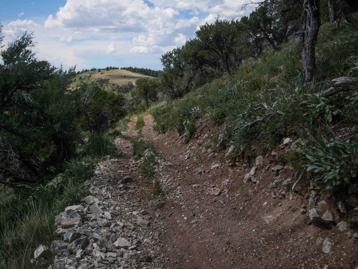
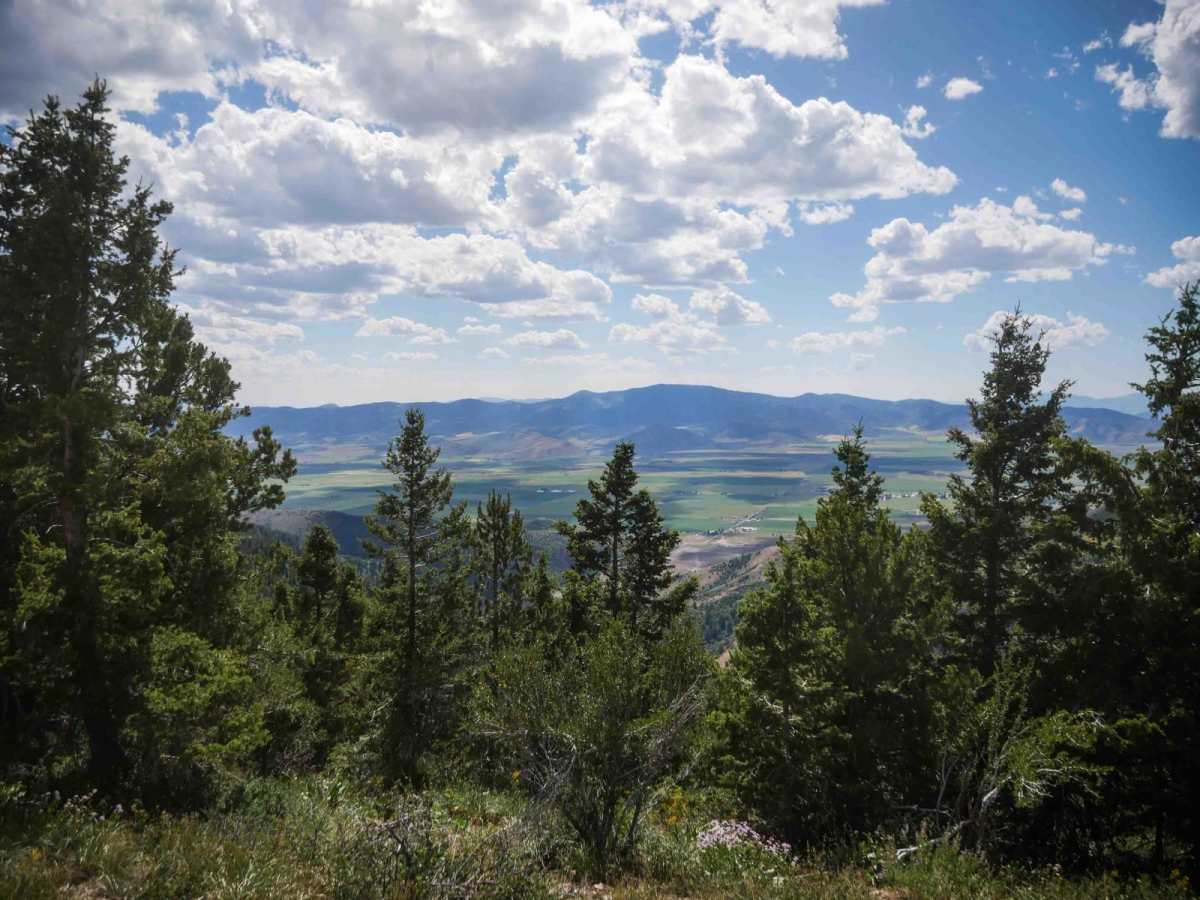
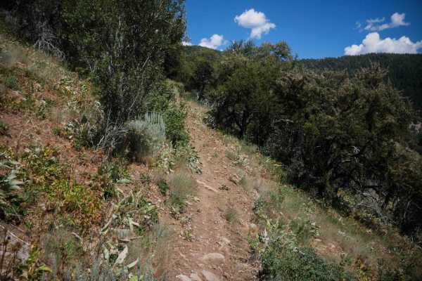
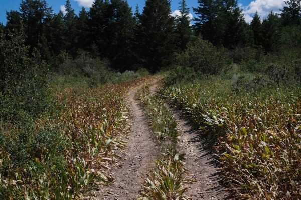
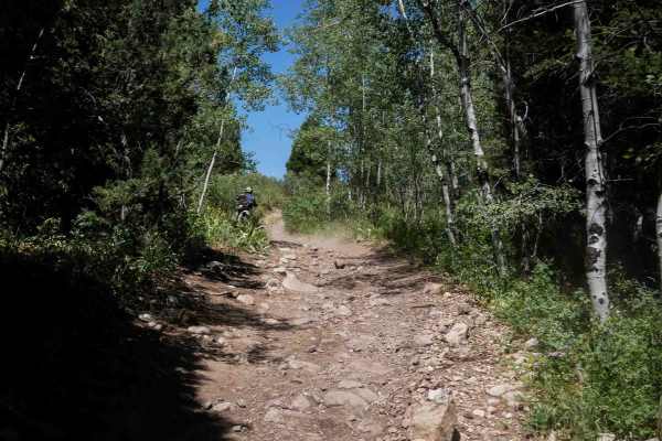
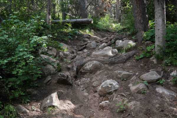
This segment of the Highline Trail #3316 is moderately difficult, traveling through Caribou National Forest, offering a long and varied route with a mix of technical and easier segments. The trail features numerous rocky hill climbs and extended sections of shelf trail with moderate exposure along scenic hillsides. Loose rock is common throughout, and heavier in climbing sections, creating challenges with traction on the steeper climbs. Off-camber sloped segments can feel tippy for wider vehicles, adding to the complexity. Portions of the trail follow scenic ridgelines with expansive views, while other stretches dip into meadows and forested areas where the terrain becomes smoother and full of roots instead of rocks. The southern section includes fast, flowing trail paralleling the forest roads past several dispersed camping sites, and the northern end of the trail transitions into a road designation for a couple of miles before reconnecting with another short segment of the Highline ATV Trail.
Difficulty
This is an intermediate trail due to frequent loose rock, moderate exposure, and off-camber sections. While some areas are easier and flowy, the rocky climbs and shelf road terrain raise the overall difficulty.
History
This is an 8-mile segment of the 55-mile Highline ATV Trail that runs between Preston and Soda Springs in the Caribou National Forest. There are multiple entry points, with several segments connected by forest roads.