Trail Overview
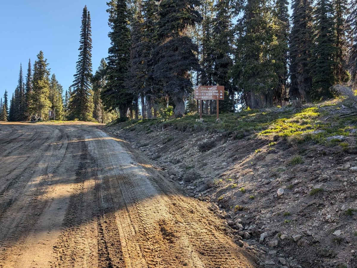
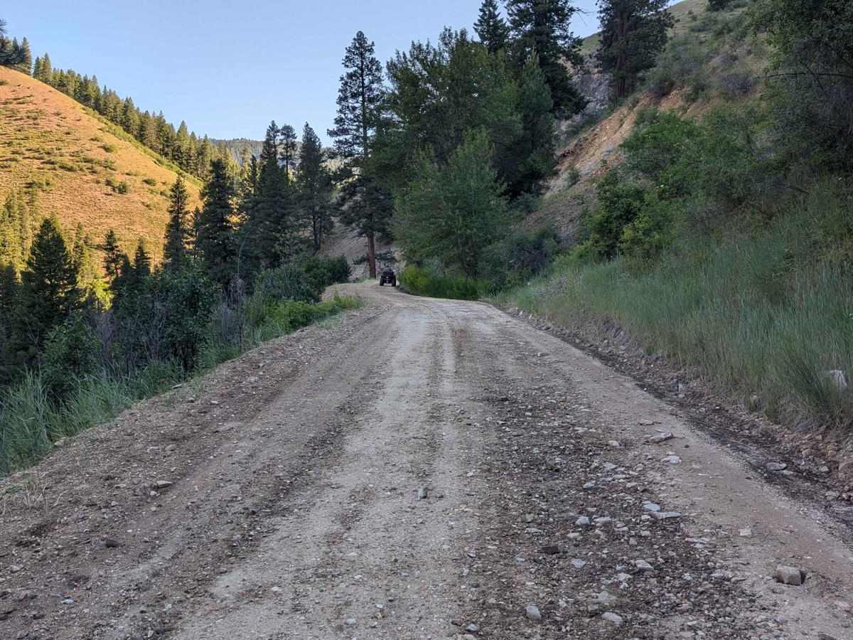
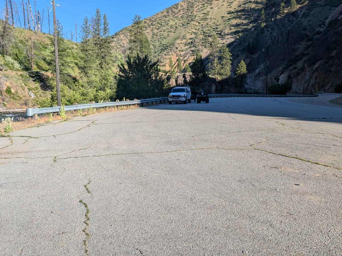
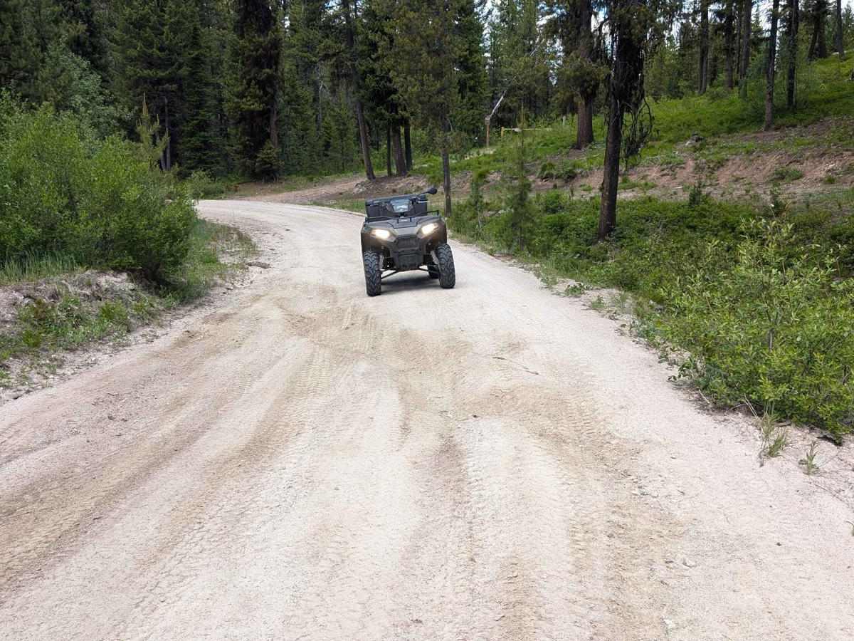
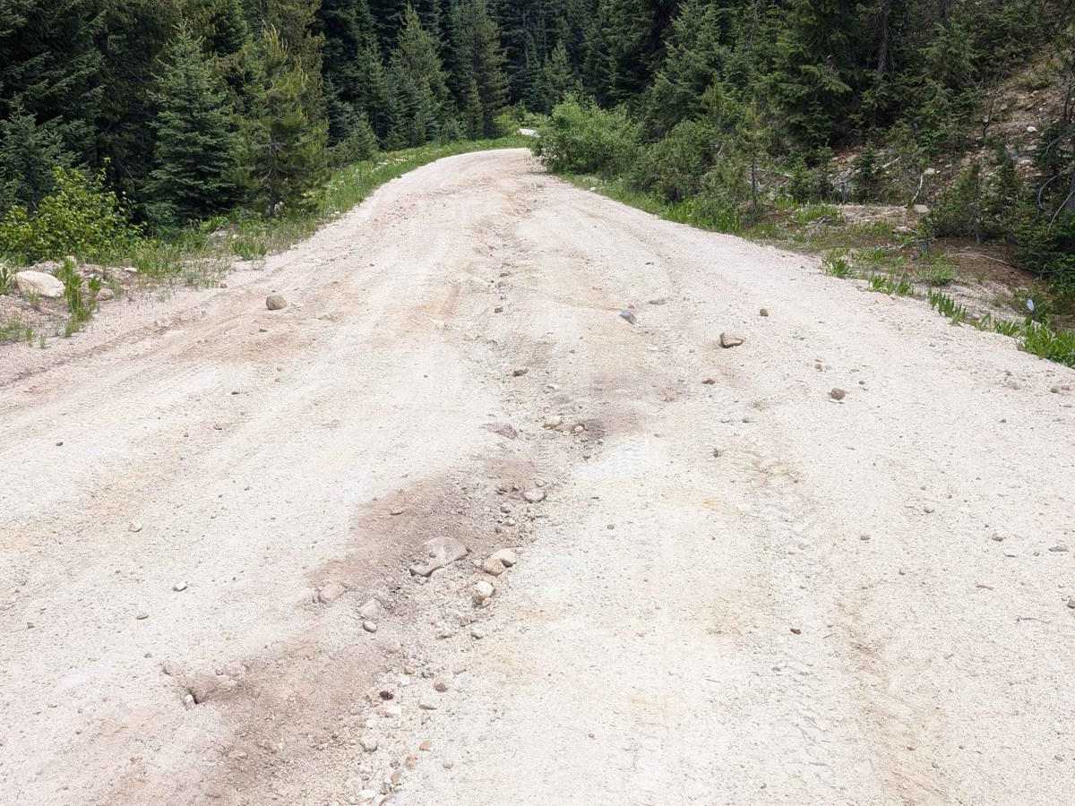
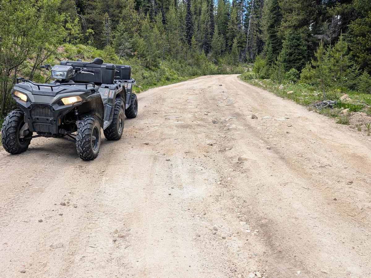
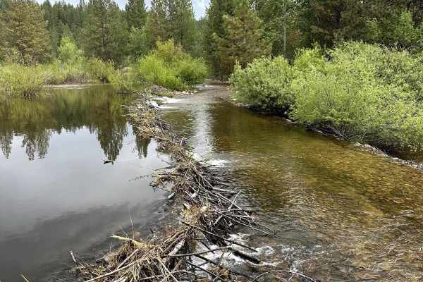
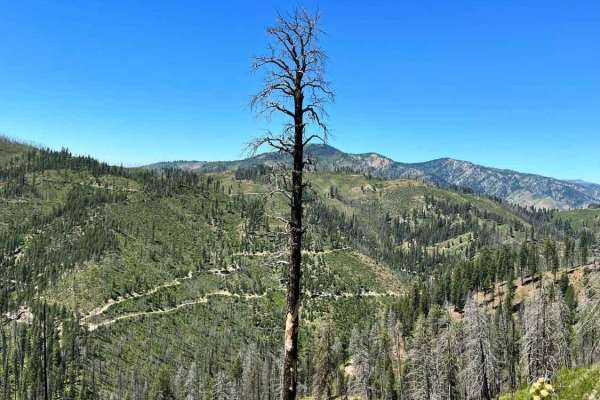
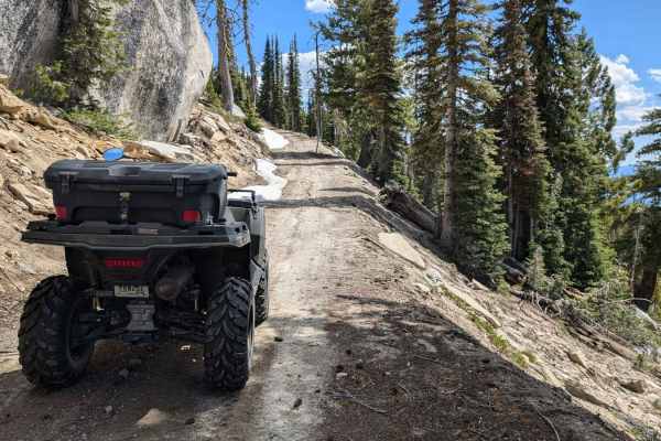
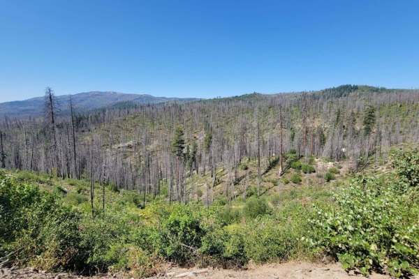
The starting point at this end of FS 555 (Scott Mtn-Deadwood) is on Hwy 17 (Banks-Lowman Hwy). There is a nice-sized parking area on Hwy 17 for unloading and loading rigs. It's a short drive of about 30 yards from the parking area to FS 555. Be aware of traffic on the highway as you cross. FS 555 immediately starts to climb. The road is dirt and sand with some small to fist-sized rocks in some sections. Enjoy opportunities for nice views of pines and rock formations at every turn as the road climbs in altitude. As cresting the ridge, a turn-off to FS 555EC leads to Deadwood Lookout. There is a gate below the lookout, which is used as a rental. It is well worth the drive up to the gate just for the amazing views of the surrounding mountains. T-Mobile cell signal was available at the ridge where FS 555 and FS 555EC intersect and below the gate at Deadwood Lookout. Continuing on FS 555, the road will begin to make a slow descent as it makes its way toward Deadwood Reservoir. Some areas of this section have ruts due to water run-off. The road has some narrow spots. There are semi-frequent turn-out spots to allow larger vehicles to pass. The experience offers stunning views of valleys, pine trees, and the surrounding mountains. The only vehicles encountered were a truck pulling a camp trailer, a 4x4 truck, and a dirt bike. The Forest Service discourages towing trailers on this section because of tight turns and narrow sections of road. There are places to dry camp along the road with a 14-day limit for camping. Cozy Cove is the first campground when approaching Deadwood Reservoir from this direction. Cozy Cove has 16 campsites, a boat ramp, and vault restrooms. Deadwood Reservoir provides a beautiful and relaxing break when exploring the area. Fishing and hiking are popular activities in the area. Cell service isn't available.
Difficulty
FS 555 can have washboard sections and ruts due to rain and snow runoff. If venturing to Deadwood Lookout, be aware that the road is narrower and may have debris or small snow drifts into early summer.