Continental Divide NST - FS 6111

Total Miles5
Technical Rating
4Moderate
Best TimeSummer, Fall
Trail TypeSingle Track
Accessible By
Open Trail Map

Trail Overview

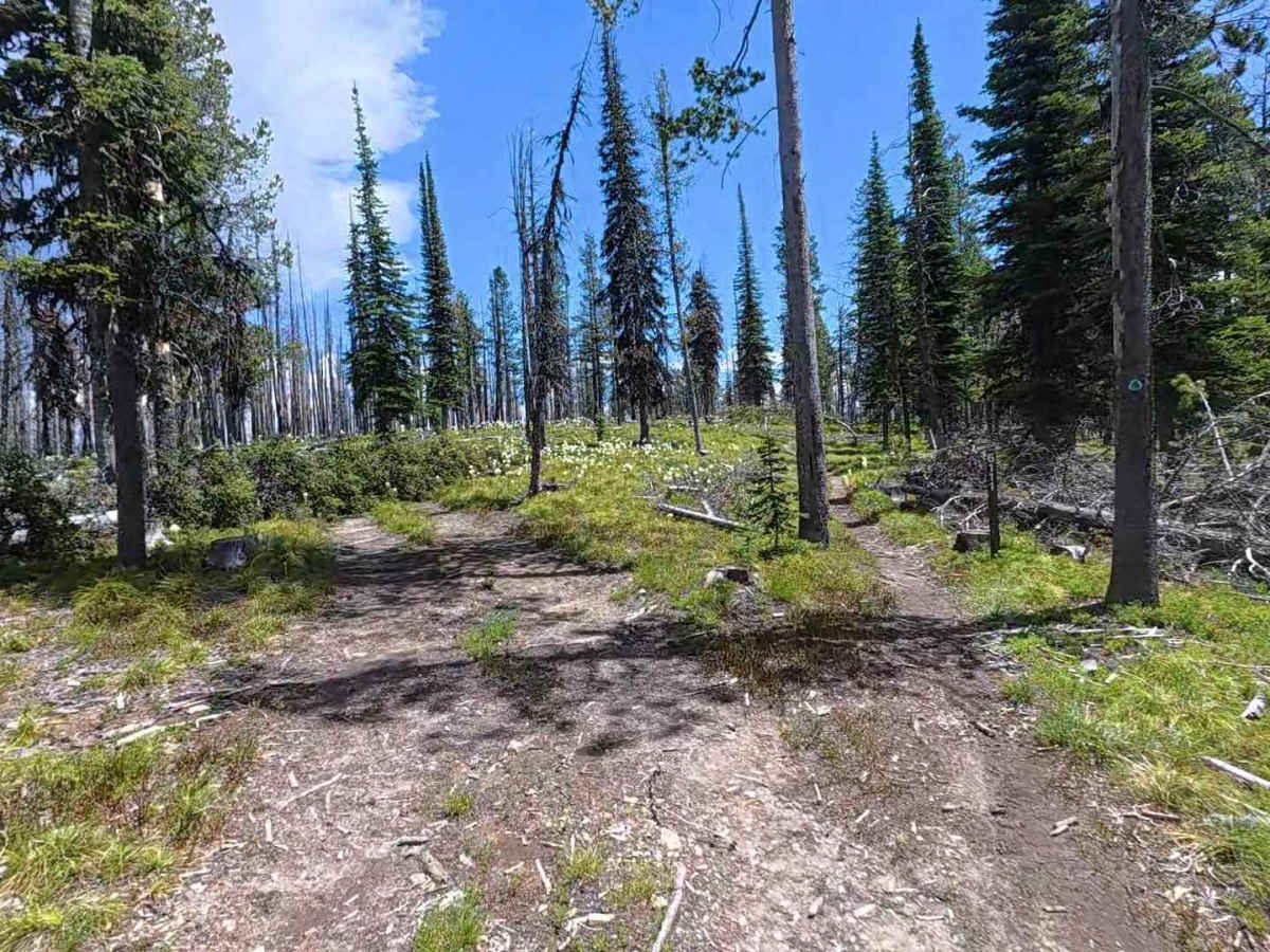
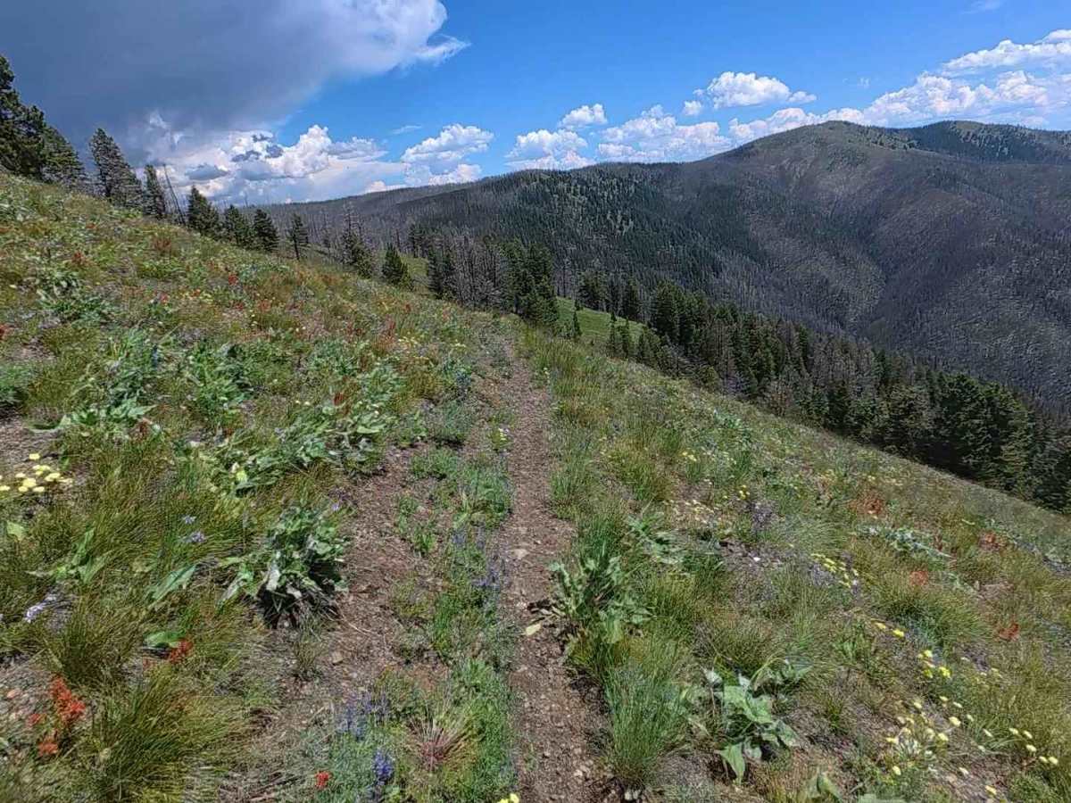
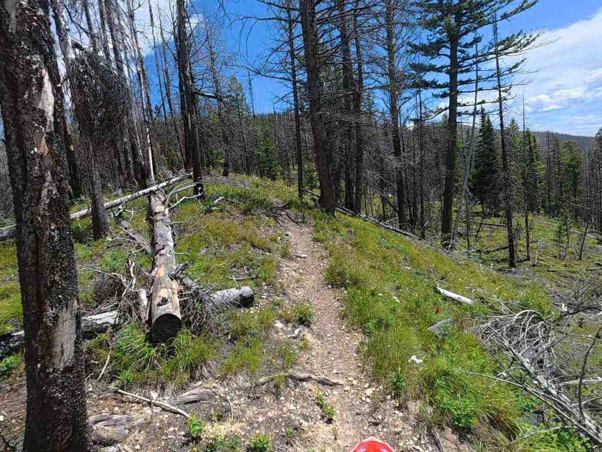
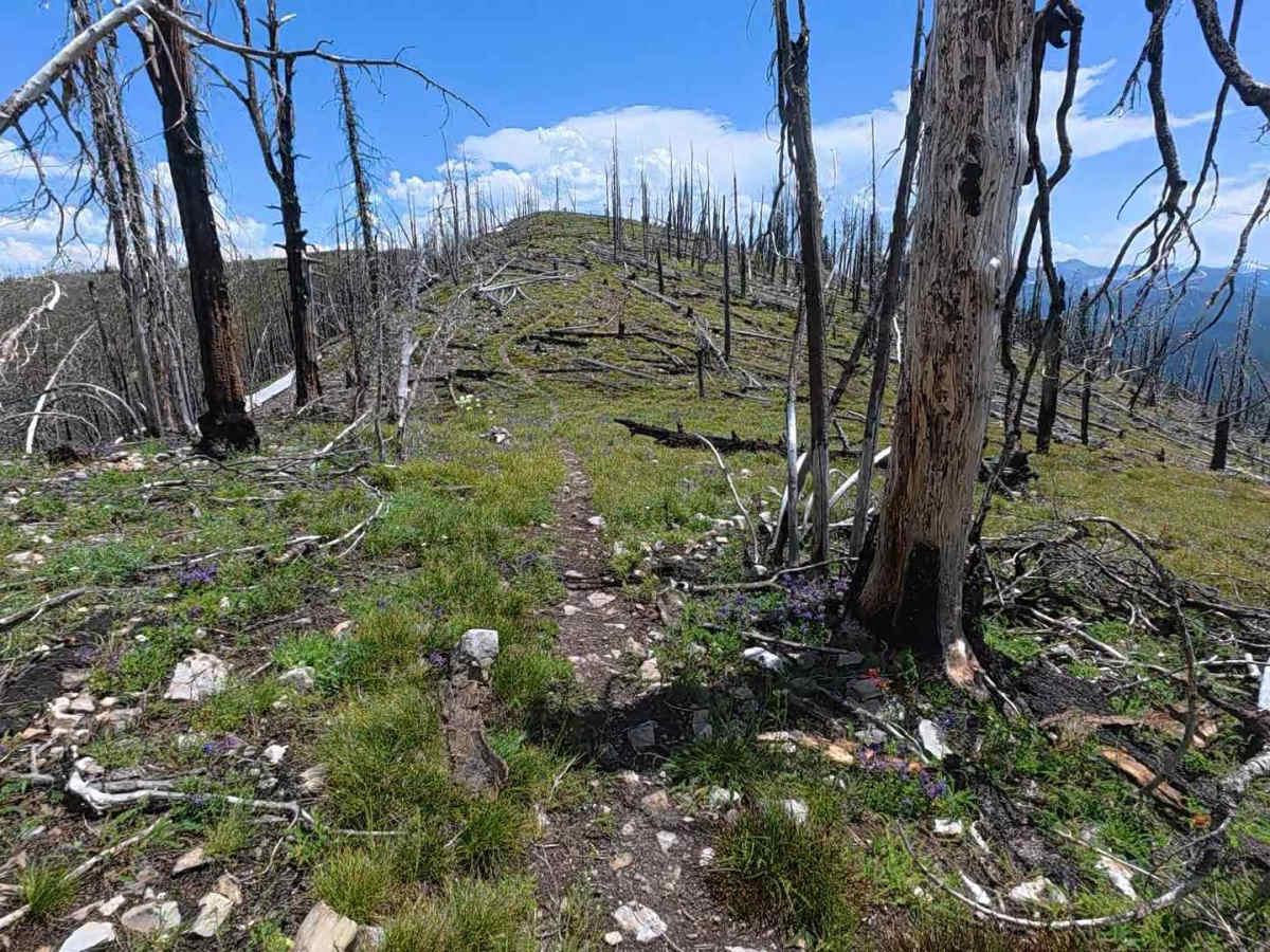
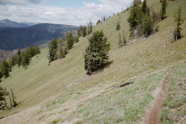
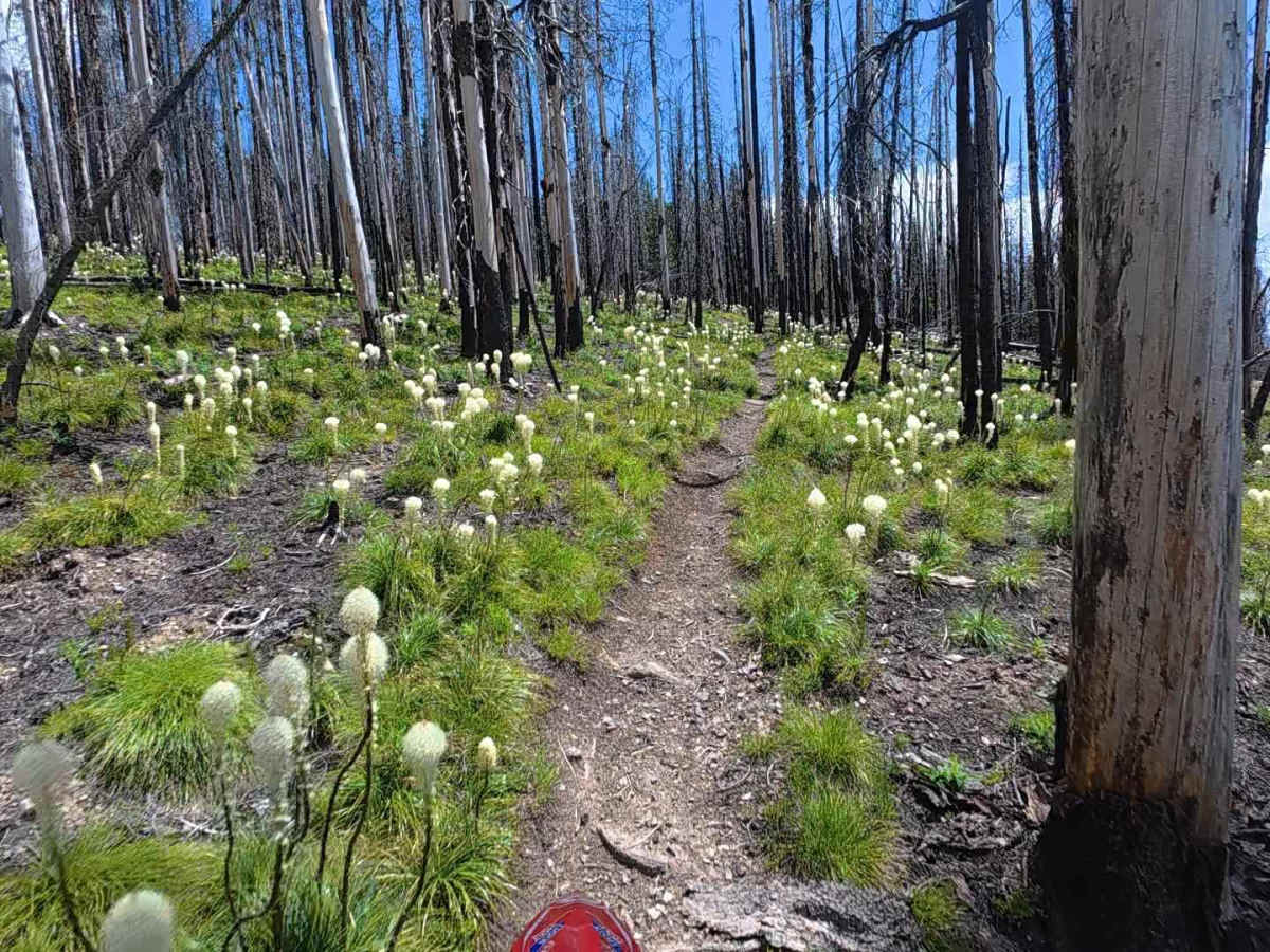
If you want to see a short section of classic Idaho single track, this is the trail for you! This section of the Continental Divide Trail, also labeled FS 6111, connects via road system on the north to US Highway 43, and to the south accesses the main Continental Divide Trail system. At its highest point, it’s nearly 8200 feet. The trail is well maintained but is rocky in places, steep in places, has some pretty tight sidehill riding, and some very tight switchbacks. Most of it is fast and flowing. There are many amazing views throughout!

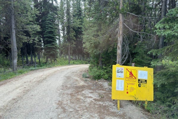
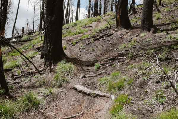
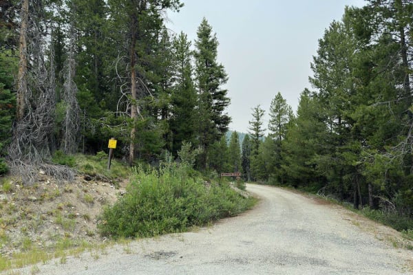
Photos of Continental Divide NST - FS 6111

Difficulty

This trail has some very narrow sidehill sections and some pretty steep switchbacks. Not dangerous, but not for the inexperienced. One section has a short, rocky, steep hill.

Technical Rating

4

Continental Divide NST - FS 6111 Trail can be accessed by the following ride types:

  • Single Track

Continental Divide NST - FS 6111 Map

The onX Offroad Difference

onX Offroad combines trail photos, descriptions, difficulty ratings, width restrictions, seasonality, and more in a user-friendly interface. Available on all devices, with offline access and full compatibility with CarPlay and Android Auto. Discover what you're missing today!

Open Trail Map