Trail Overview
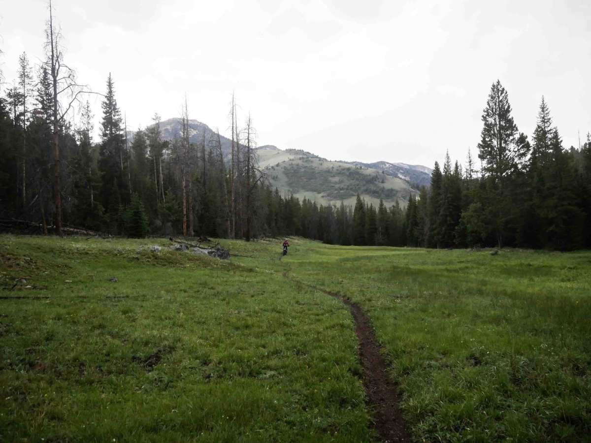
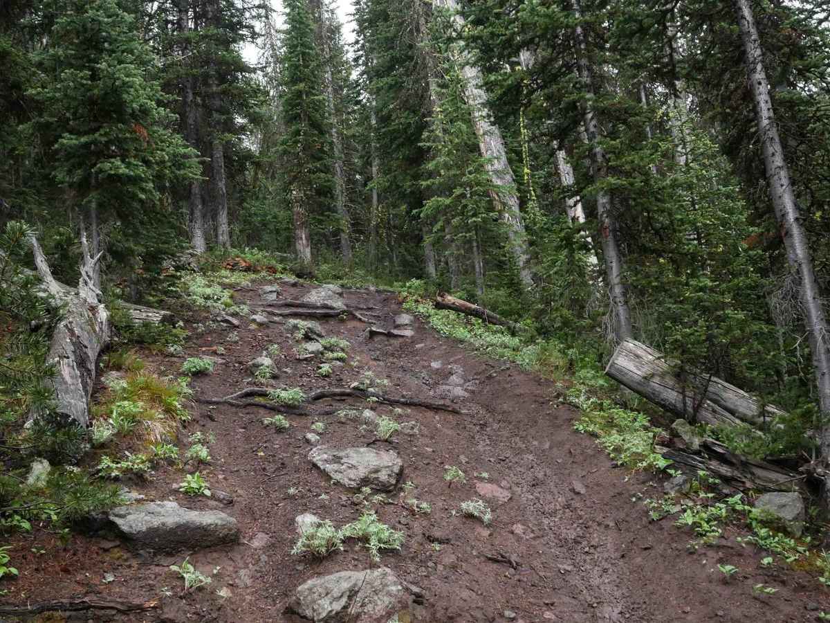
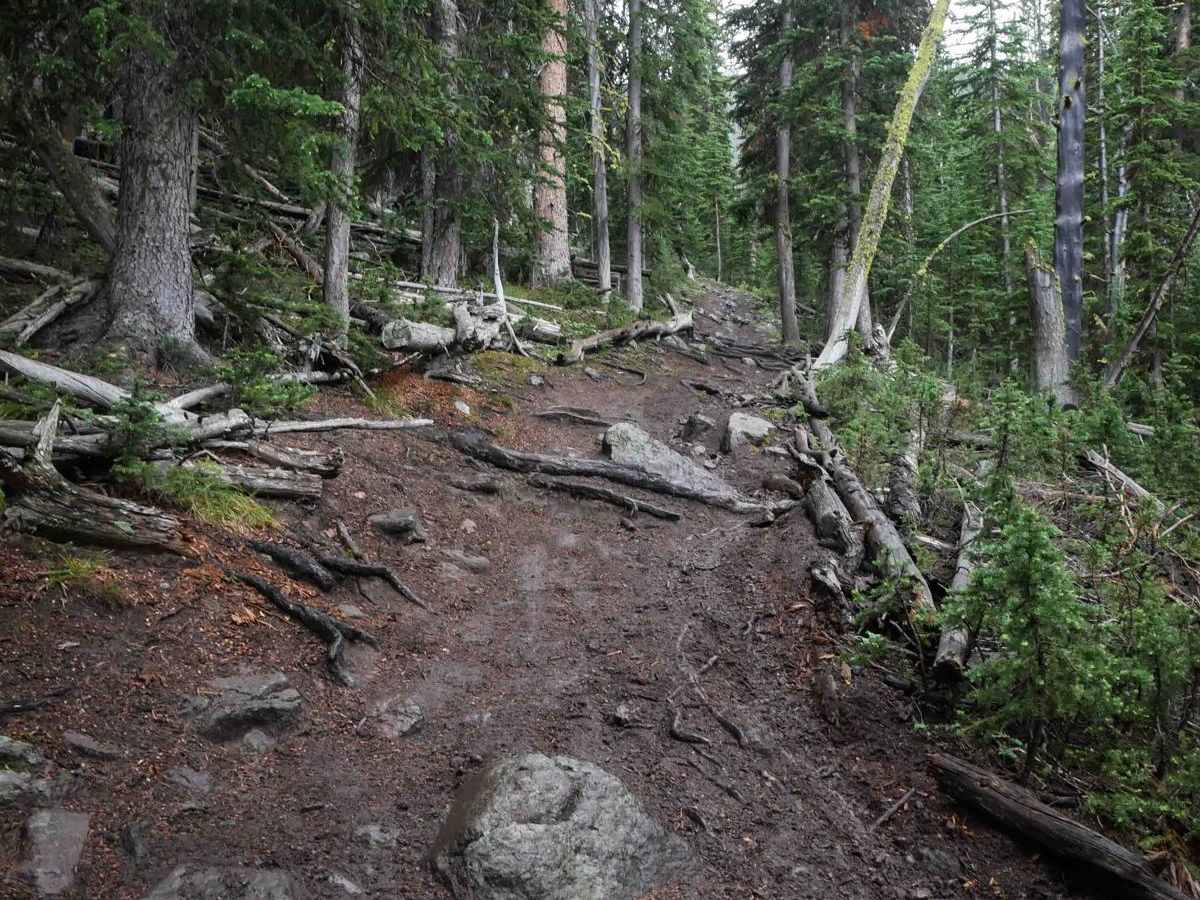
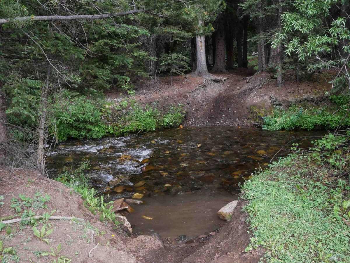
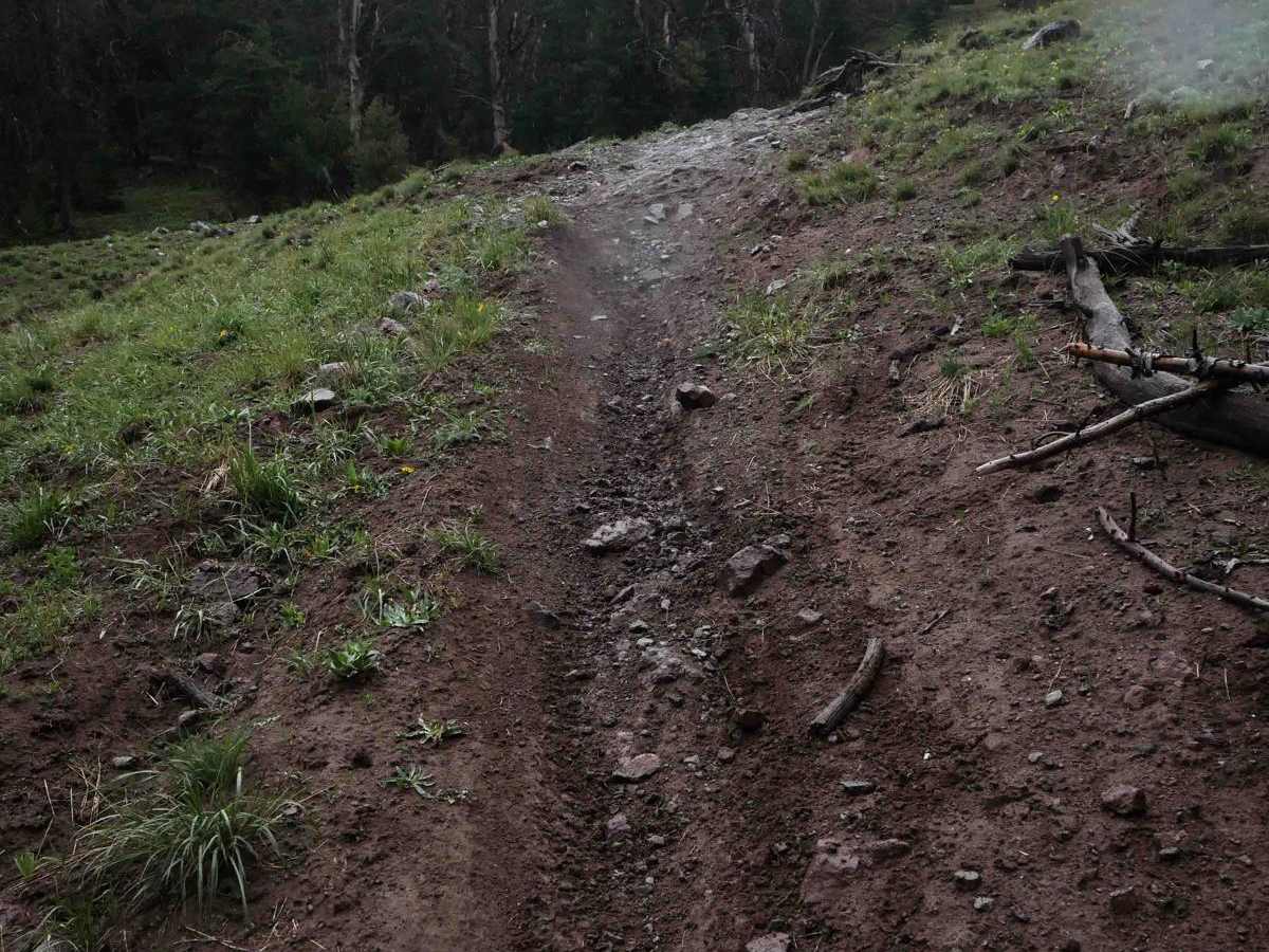
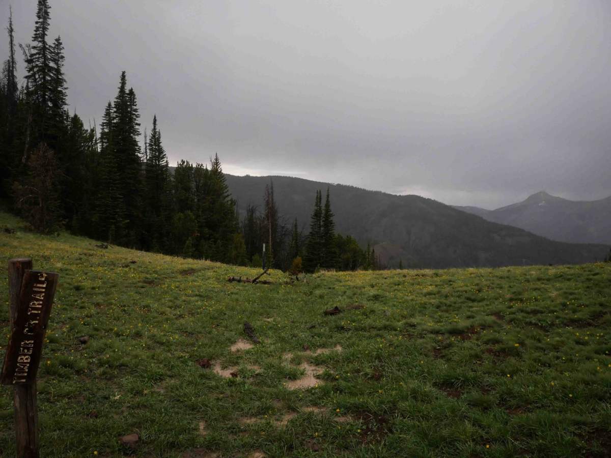
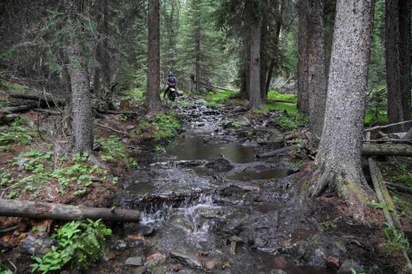
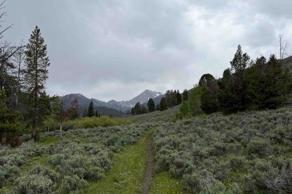
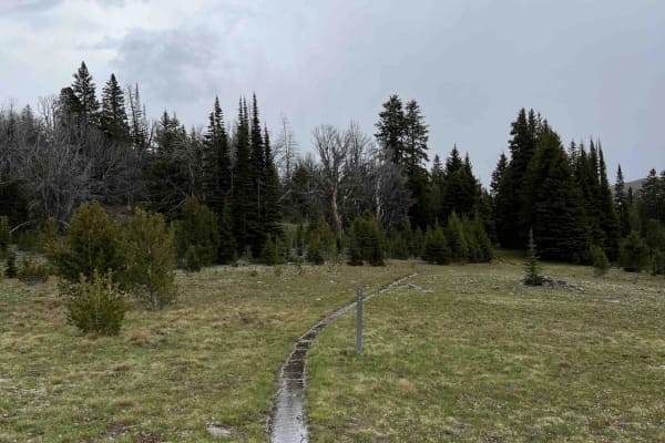
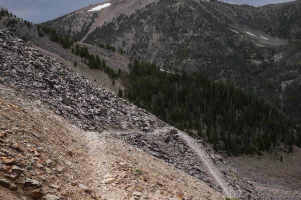
Cabin Creek begins at the south end at the intersection with Snow Bank Trail, high in the alpine above 9,000 feet. From the saddle, the trail drops down with a series of steep curves through the forest and meadows. It's a bit troughed in spots, but overall is a narrow and fun-flowing singletrack with a few scattered rocks near the beginning. The dirt here can get greasy and slick when wet, which makes the descent more challenging. There are some sharp corners with exposure along the hillside, including short stretches of side-hilling and steep downhill grades. As you descend lower into the forest, the trail becomes noticeably rockier and rootier, with small drop-offs from embedded roots and rocks. These are manageable in the downhill direction, but would pose a more technical challenge for riders climbing uphill. There are also a few moderate stream crossings along the way. After passing through a series of big, wide-open meadows, the trail finishes at the north end at the intersection with the Big Timber Creek Trail.
Difficulty
This is a moderately difficult trail with a mix of flowing singletrack, technical roots and rocks, and some exposure. While downhill travel is relatively smooth, climbing this trail would be significantly more challenging in sections due to steep grades and small ledges.