Trail Overview
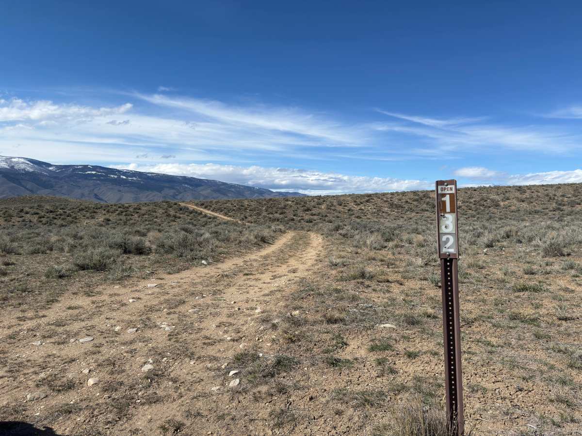
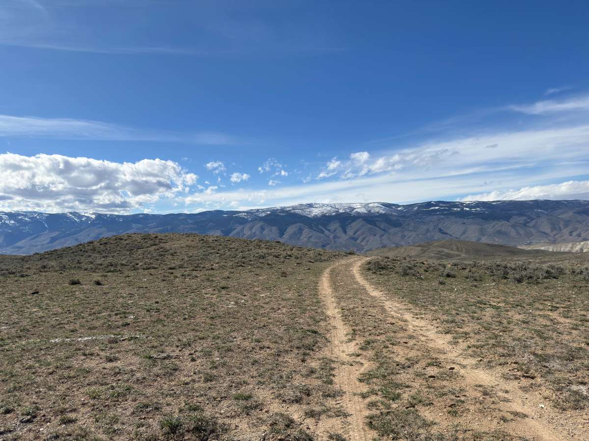
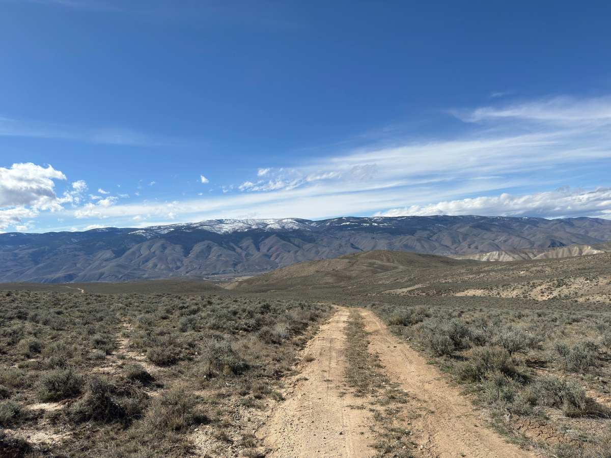
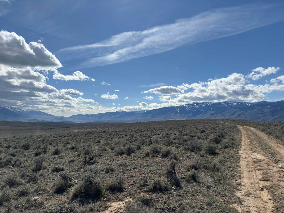
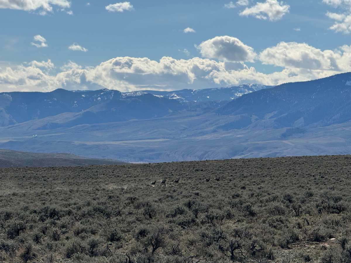
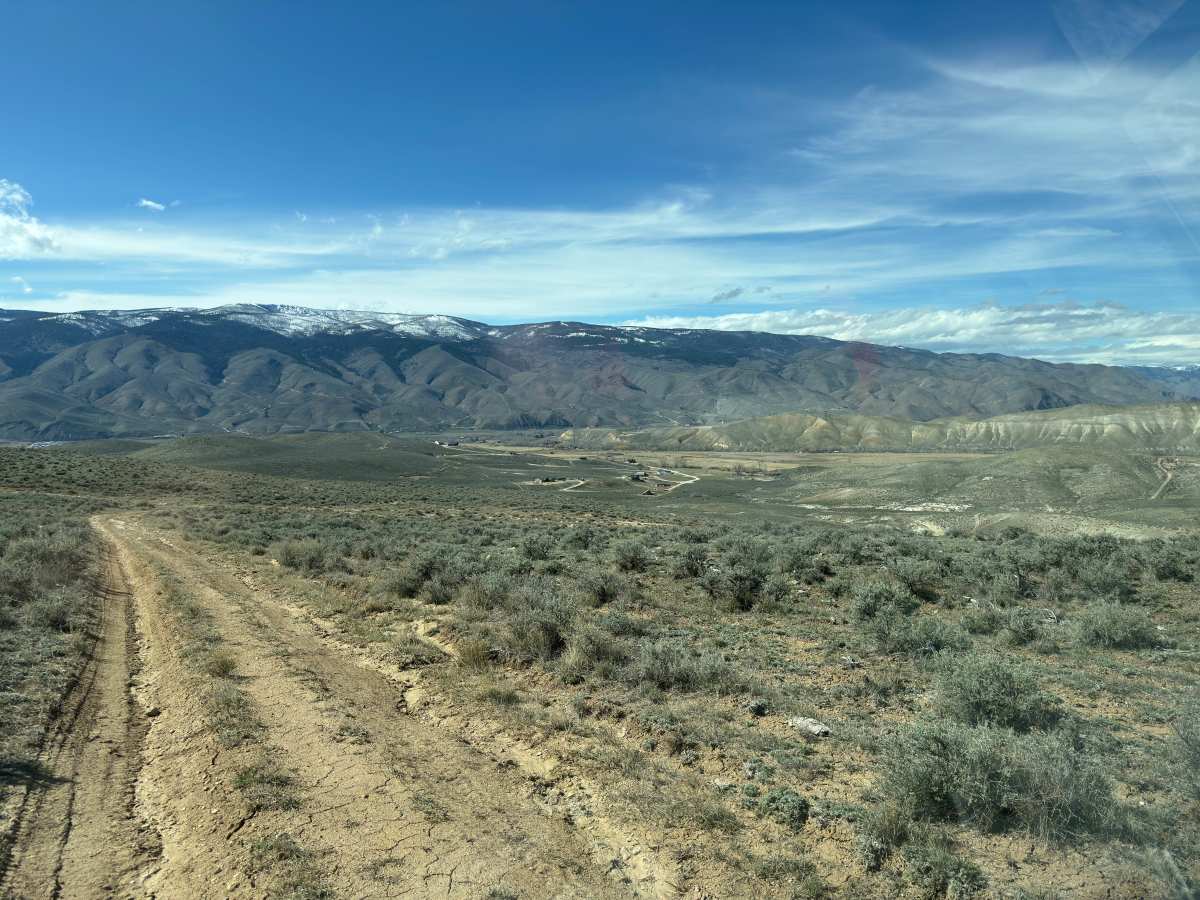
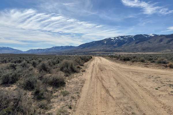
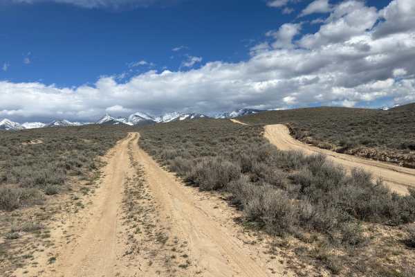
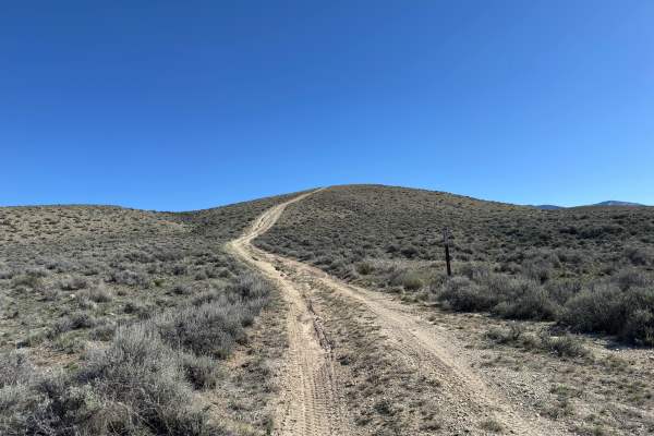
BLM Trail 132 is a short, easy connector that links Sagehen Flat Road over to BLM 131. It’s a one-vehicle-wide trail but has enough room in spots to pass oncoming traffic. The surface is mostly dirt with a few patches of small rocks (nothing over about 6 inches), and the trail runs along a gradual climb or descent depending on your direction. For the most part, it’s smooth and flowing, making it easy to keep a steady pace.
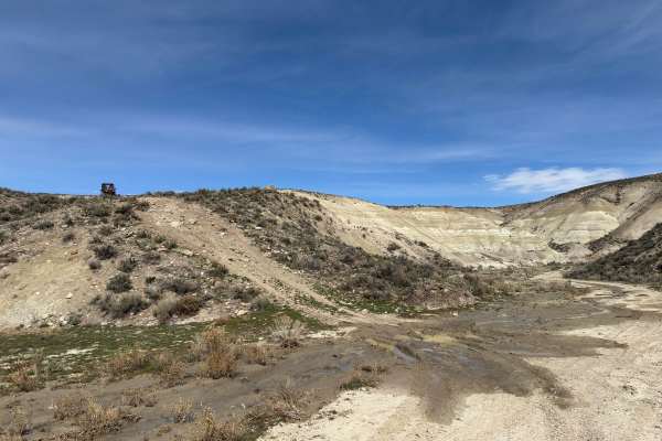
Ruts are minimal and mostly off to the sides, so they’re easy to avoid. There’s a slightly off-camber and lightly rutted section near the junction with Trail 133—if you’re heading west, you’ll want to take a left there. Otherwise, this is a very much non-off-camber trail. Just before reaching BLM 131, you’ll hit a moderately steep, slightly rocky climb or descent, which is the most notable feature on the trail. Also keep an eye out for cactus along the route in the trail.
Difficulty
This trail is rated at its difficulty due to a single moderately steep and slightly rocky section near the end, along with a short off-camber area near the 133 junction. Otherwise, the trail is smooth, gradual, and largely free of obstacles. Its easy terrain and minimal technical features keep it at a two.