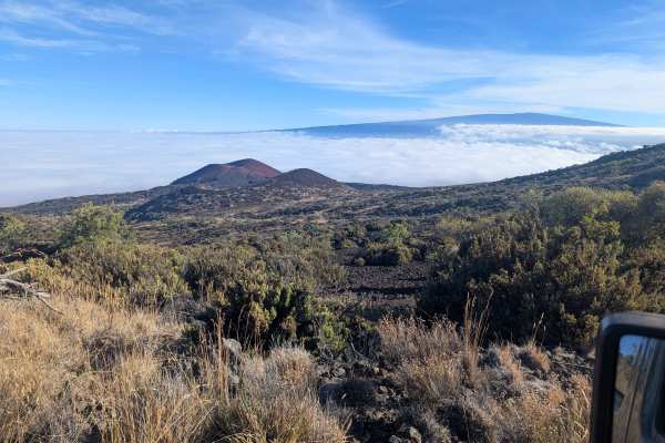
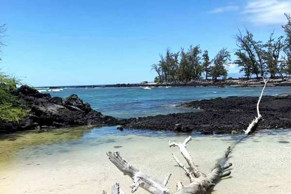
Trail Overview
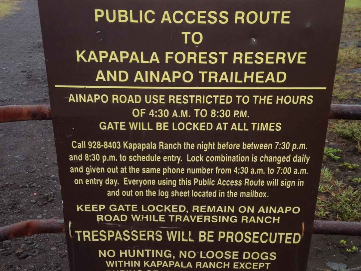
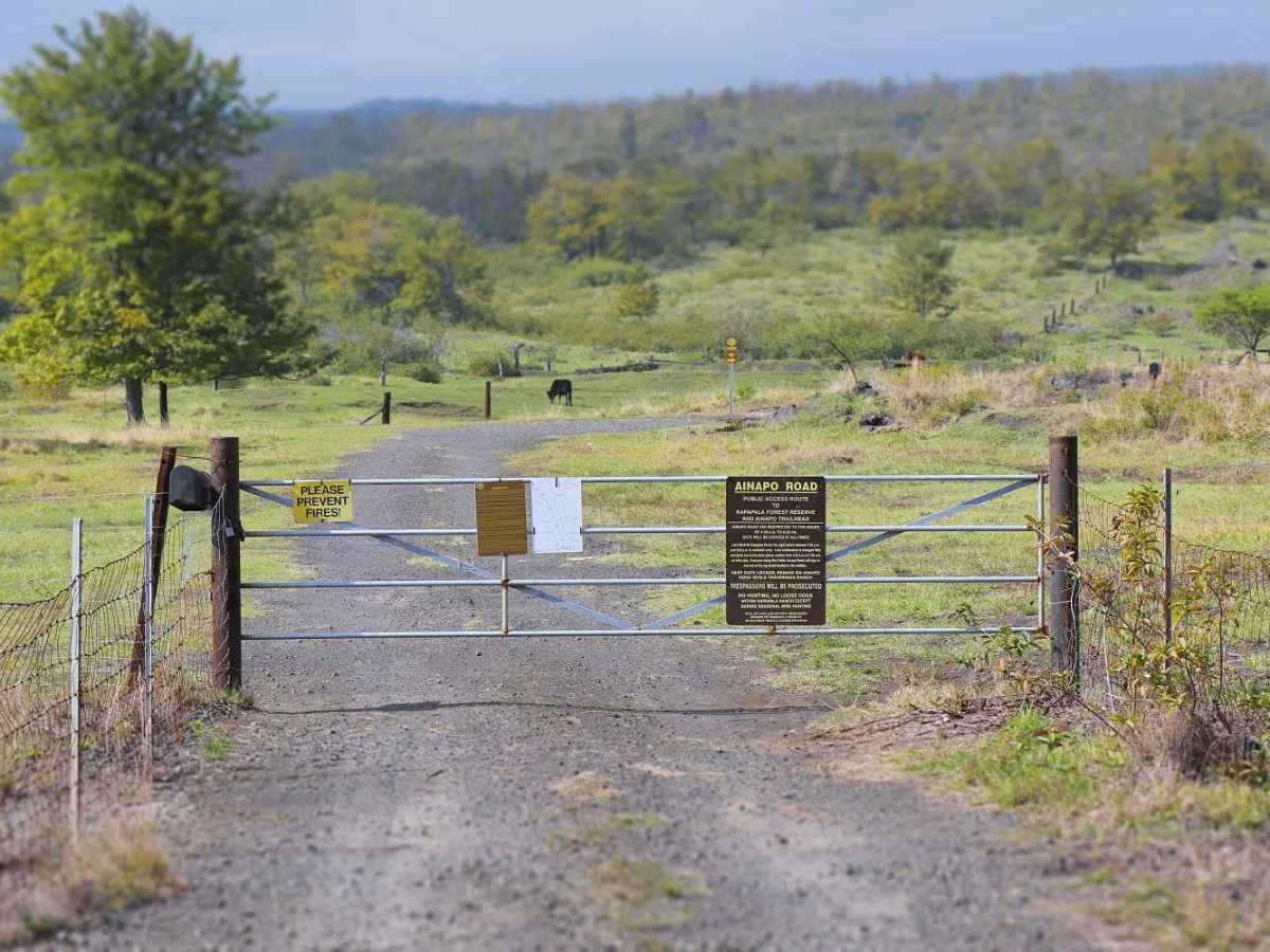
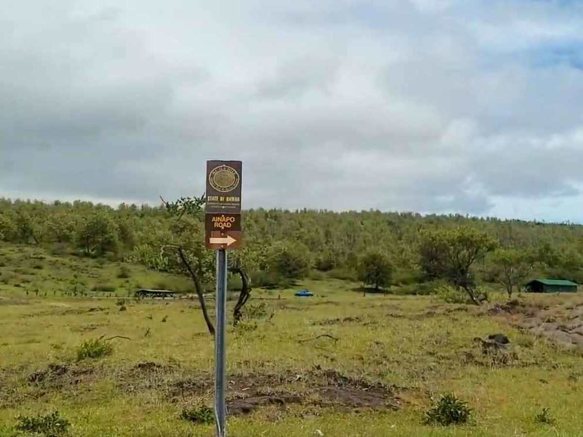
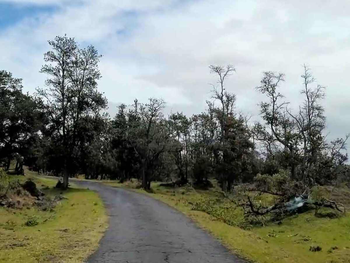
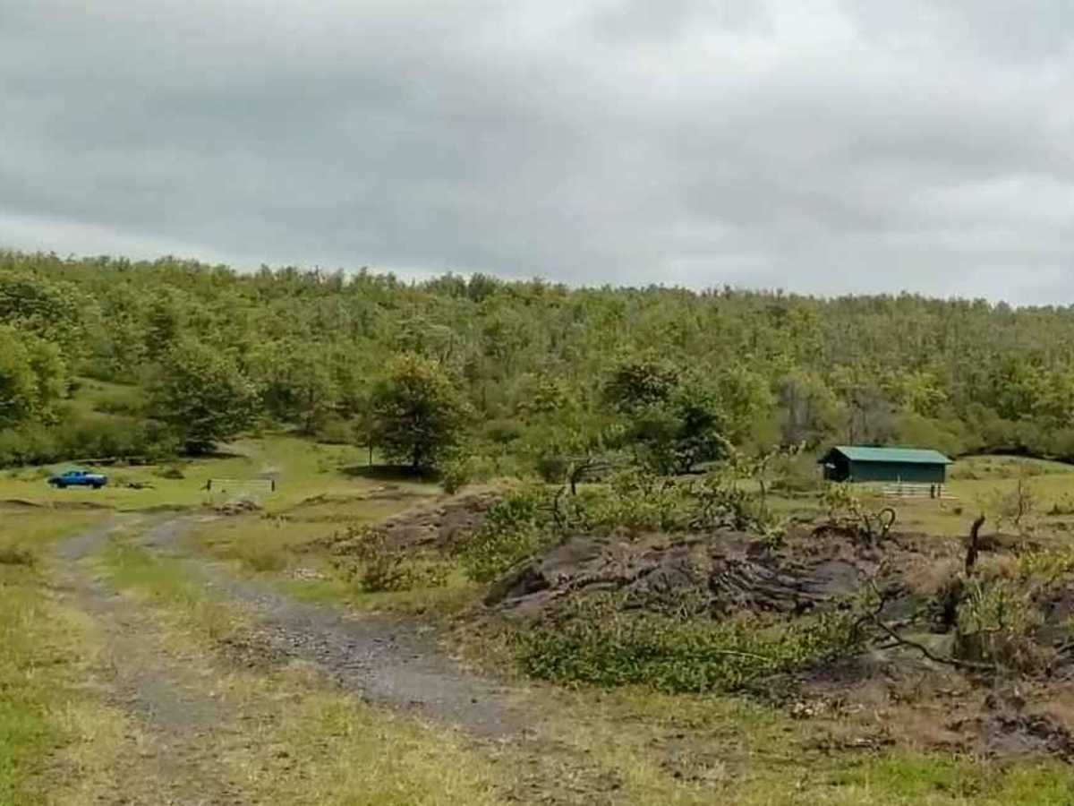
Ainapo Road is a 16-mile out-and-back rated 3 of 10 located on the southeast end of the Big Island. This infrequently maintained, unpaved, 4-wheel drive public access route passes through Kapāpala Ranch for 5.7 miles before entering the Kapāpala Forest Reserve and continuing another 2.3 miles to the ʻĀinapō Trailhead. Although no permit is required, users are required to register the day prior and will receive an e-mail with a gate code for road access (https://kapapalaranch.com/forest-reserve-access). This road is mostly a two-track that crosses over grass fields and through the local forest. The trail will cross a grassy meadow where the track almost disappears. Follow the fenceline towards the white corral in the distance. Due to the amount of rainfall, the trail will generally be soft and muddy. Trail conditions will vary, and the trail appears to be used mostly by ATV’s and UTV’s, but is open to all vehicles. It is not recommended for low-clearance or AWD vehicles.
Difficulty
Trail consisting of loose rocks, dirt, and sand with some slickrock surfaces; mud holes possible, no steps higher than 12 inches. 4WD may be required; aggressive tires are a plus.
History
The Ainapo Trail was the primary route to the summit of Mauna Loa from prehistory to 1916. The trail began on the southeast flank at 2000 feet of elevation and reached Mokuaweoweo, the summit crater, at 13,200 feet (4,000 meters). It was sometimes called Menzies Trail after Archibald Menzies, who was the first recorded outsider to climb the mountain in 1794. The Ainapo Trail was added to the National Register of Historic Places on August 30, 1974.

 Offroad