Trail Overview
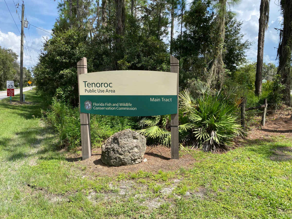
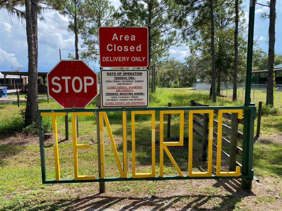
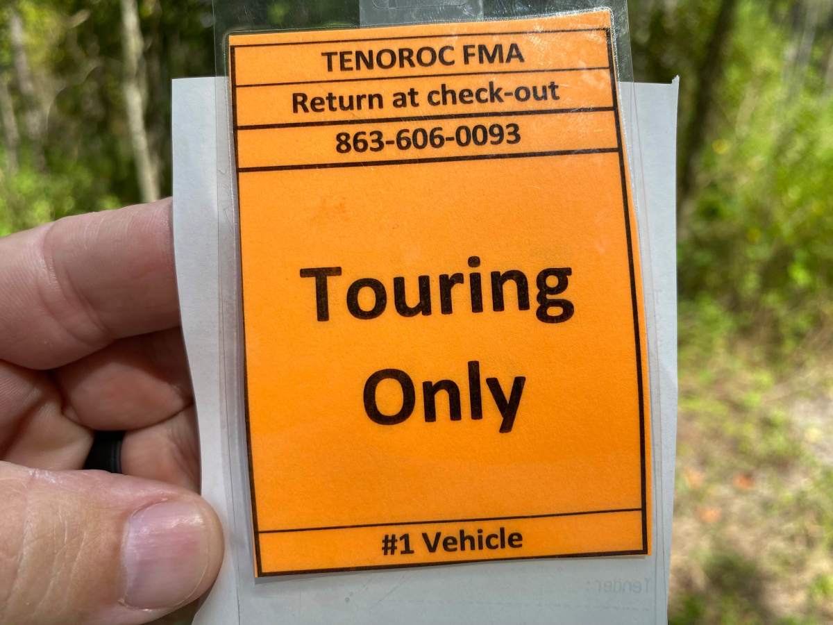
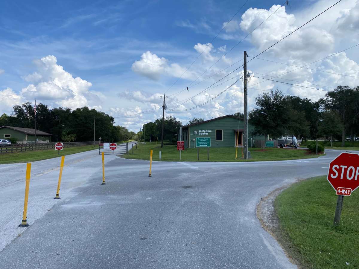
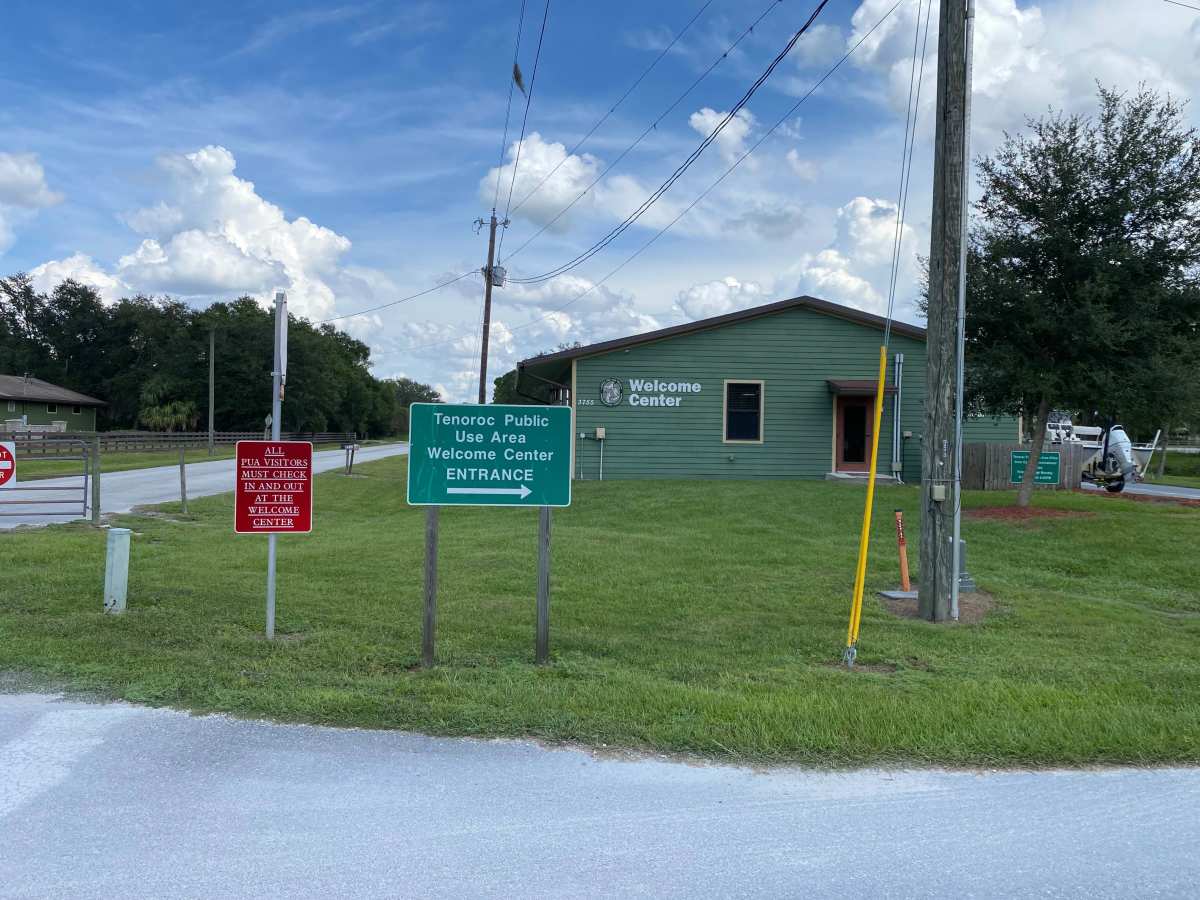
Tenoroc Mine Road is located within the Tenoroc Wildlife Management Area (WMA). This WMA is situated in Polk County, outside of Lakeland. Tenoroc WMA is open to public recreational use year-round, Friday through Monday from 6am to 8pm. A daily use permit is required to access the WMA. On the road leading into the range, traffic control devices and signage are placed channeling visitors to the “Welcome Center”. Visitors have the option of a drive-up window or parking and entering the Pro Shop to obtain permits. The day-use permit is $3 per person for most areas; special areas like gun or archery ranges are $12 per person. The “Welcome Center” is a unique amenity that most WMA’s do not feature. The “Welcome Center” sells snacks, drinks and various supplies. In addition to this they also have clean air-conditioned bathrooms for guest use. All registered and street-legal vehicles are allowed to access the area. No unlicensed vehicles or off-road vehicles are permitted. The majority of the trail can be navigated by low-clearance 2WD vehicles. However, numerous low areas quickly flood with standing or moving water during or following rains. While mapping, pop-up thunderstorms occurred, and some areas signed low water crossing rapidly had 12 to 18 inches of water filling the bottom of the trails. This occurred in numerous locations. Would not advise a low clearance vehicle on days forecasted to have thunderstorms or rain showers.
Difficulty
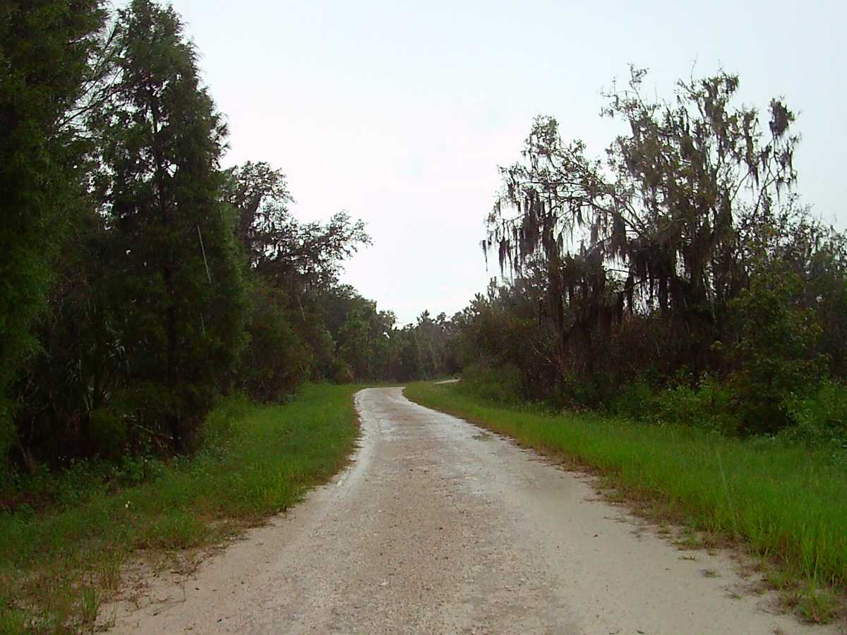
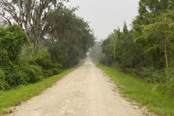
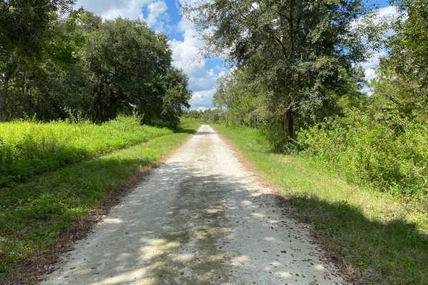
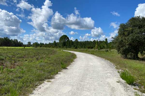
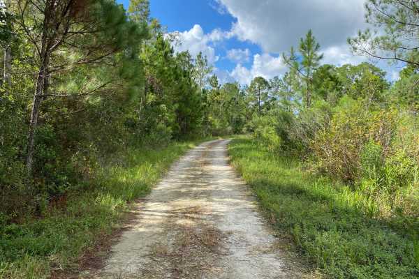
The trail is a rock/shell and dirt road that is mostly evenly graded with some minor rutting and potholes. Trail width varies, but it is mostly two vehicle wide. There are some narrower portions, especially when crossing between mine lakes, where there is limited space to lay over for passing. Shoulders are grassy and steeply slope down to lakes and ponds. During or following rains, areas can fill with water, creating water crossings 12 to 18 inches deep.