Trail Overview
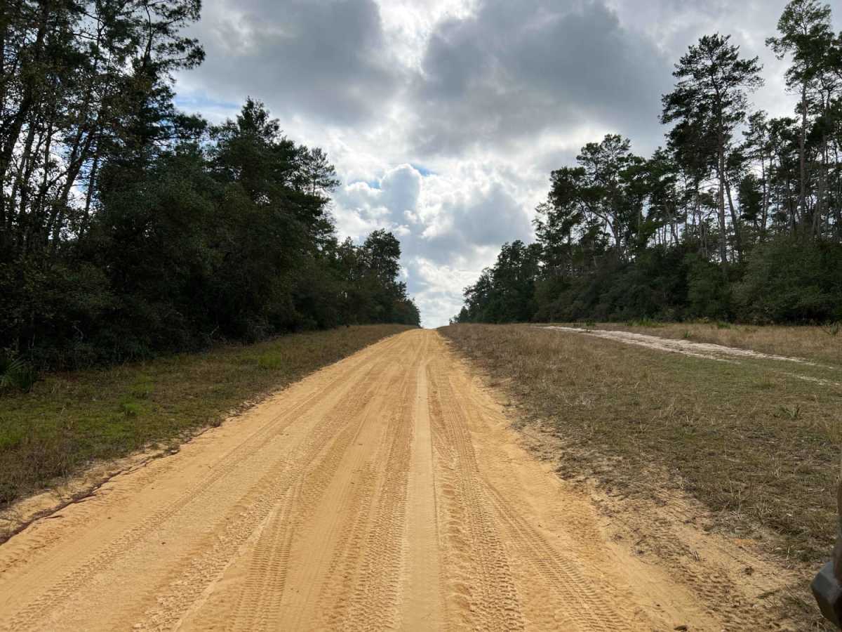
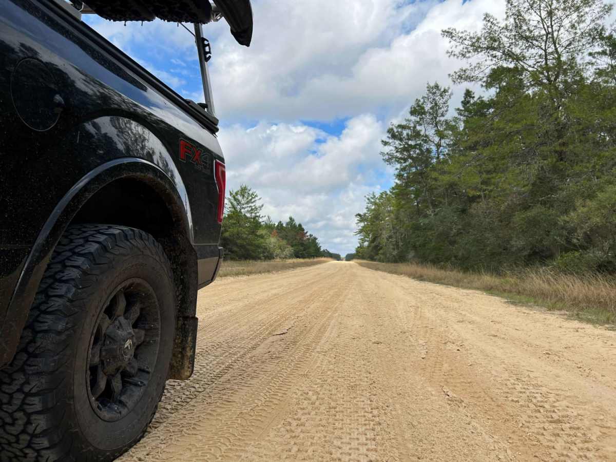
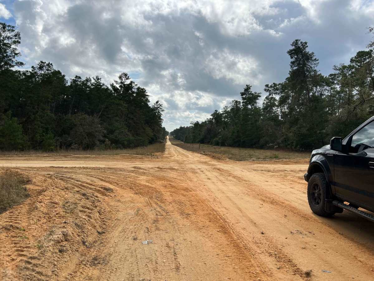
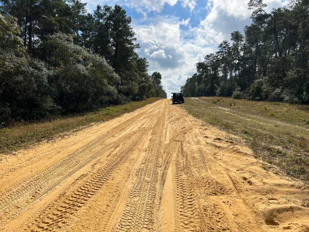
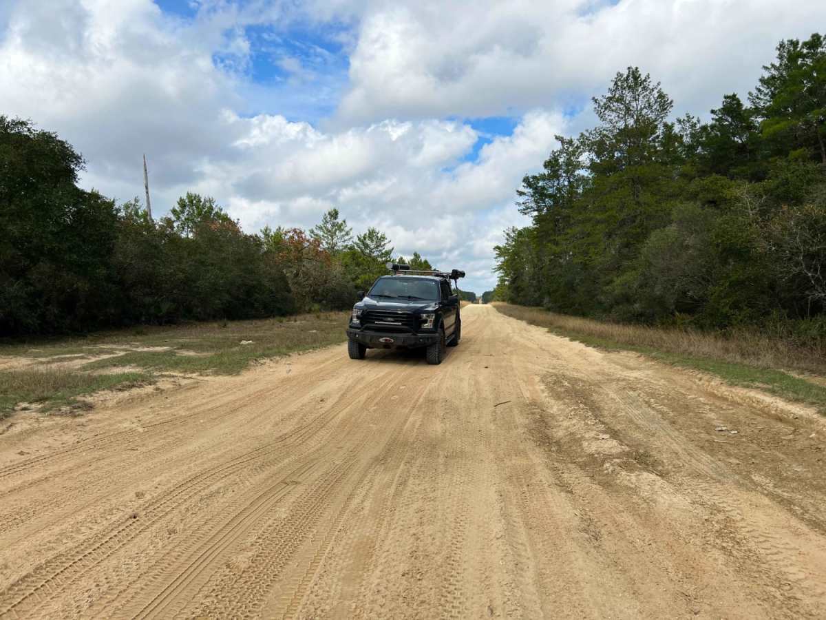
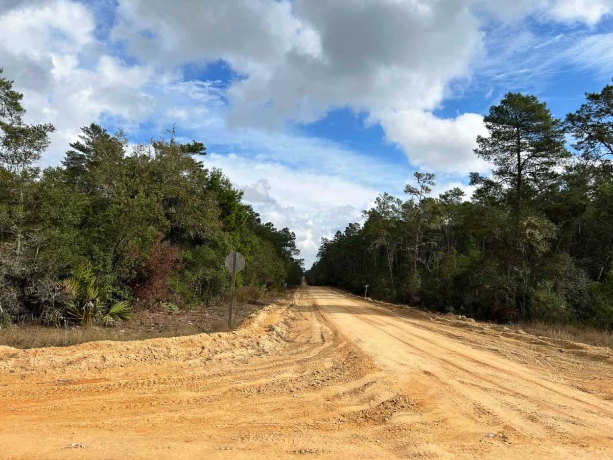
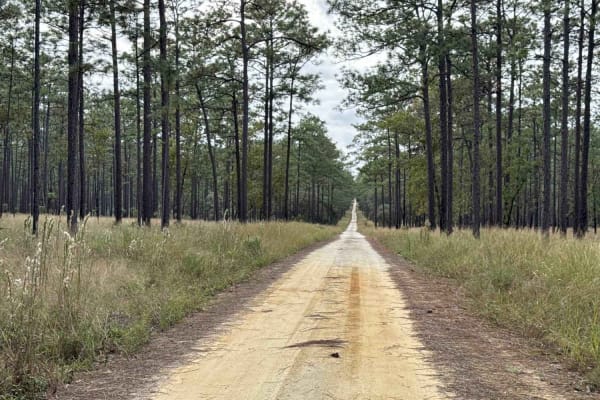
Sandy Pipeline Run is a scenic, 5.5-mile straightaway trail in the Ocala National Forest, perfect for four-wheel-drive vehicles, SxSs, and off-road motorcycles seeking a mix of rolling sand hills and open cruising. This corridor follows a utility pipeline corridor, offering a direct route that transitions from deep, loose sand in the north to hard-packed sand and gravel as you head south. Traveling southward, offroaders will encounter several hill climbs and low points filled with soft sand where maintaining momentum is key. The trail begins near Rodman Reservoir off Northeast 243rd Place Road and cuts directly south through the forest, intersecting with numerous designated OHV routes and forest roads.
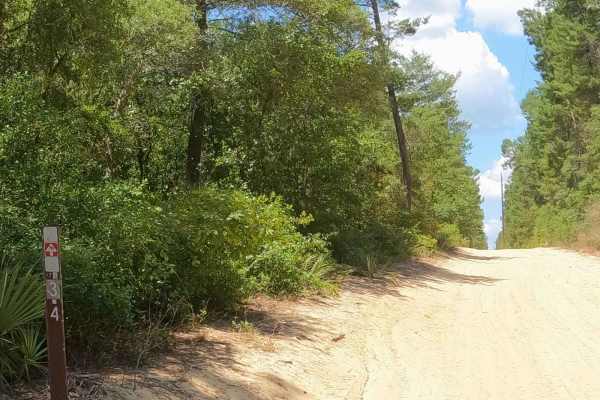
Rated a 3 out of 10 for difficulty, the trail features soft sand reaching depths of up to 10 inches, making four-wheel-drive highly recommended for a smooth traverse. The elevation rises gently from 91 feet to 163 feet, creating enjoyable, rolling terrain without major obstacles. Since the trail traverses prime wildlife habitat, drivers should watch closely for deer and black bears, which frequently cross the sandy track. Caution is advised at all well-marked trail intersections, making this a fun, active drive that easily connects with the surrounding Ocala trail network.



 Offroad