Trail Overview
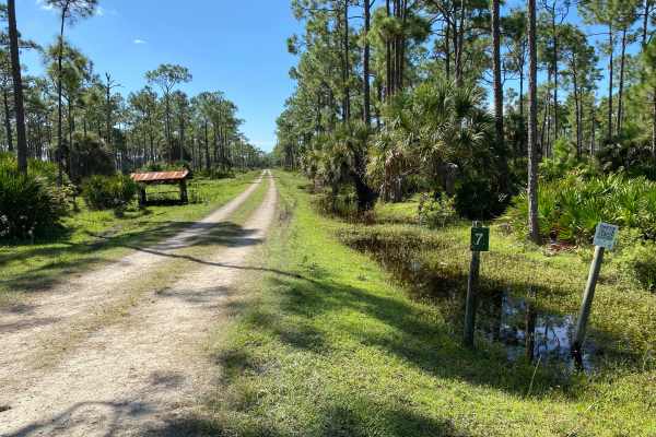
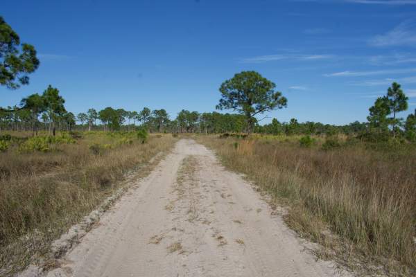
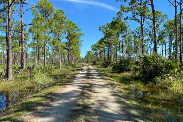
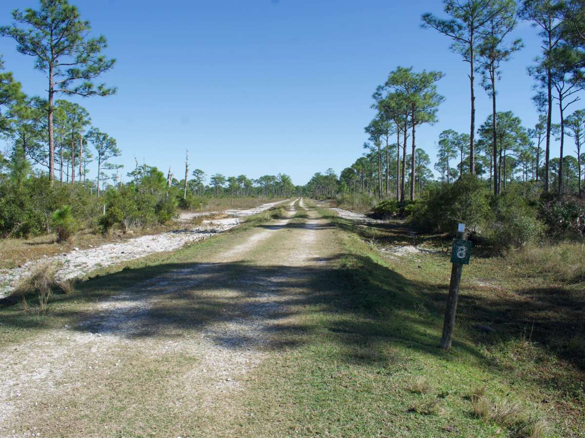
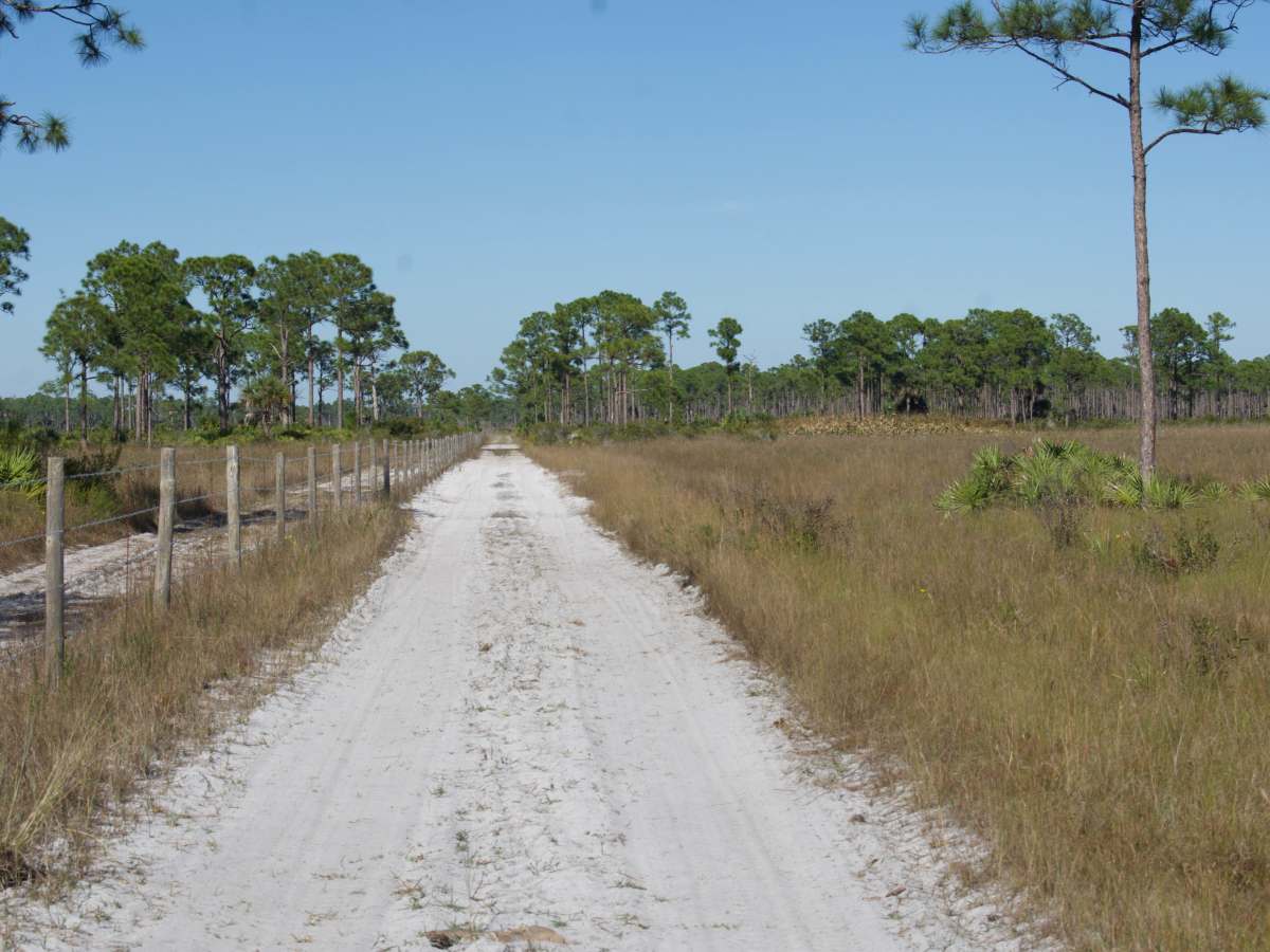
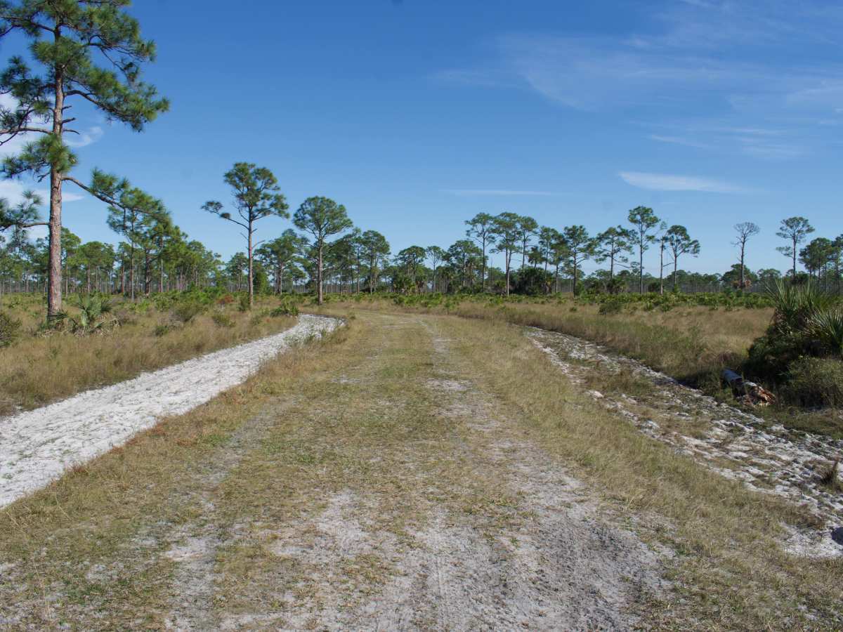
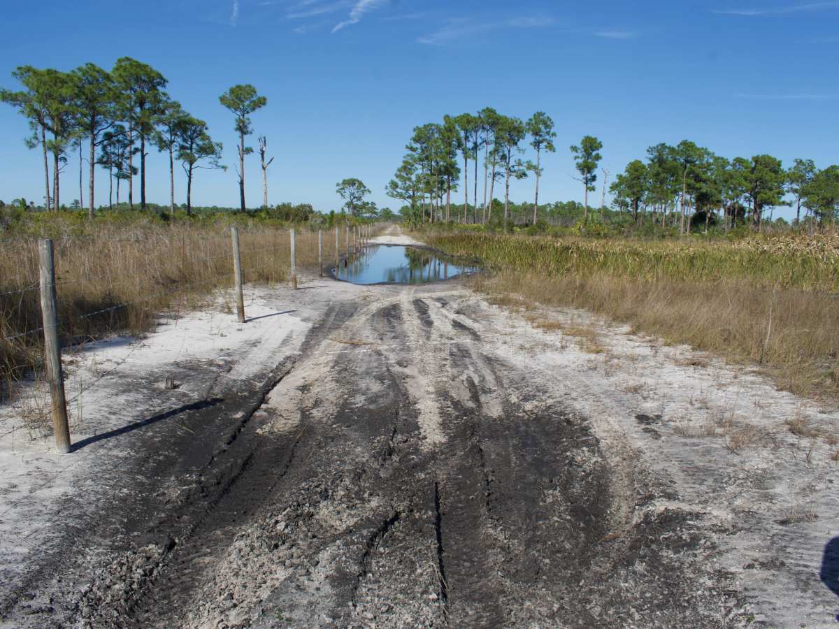
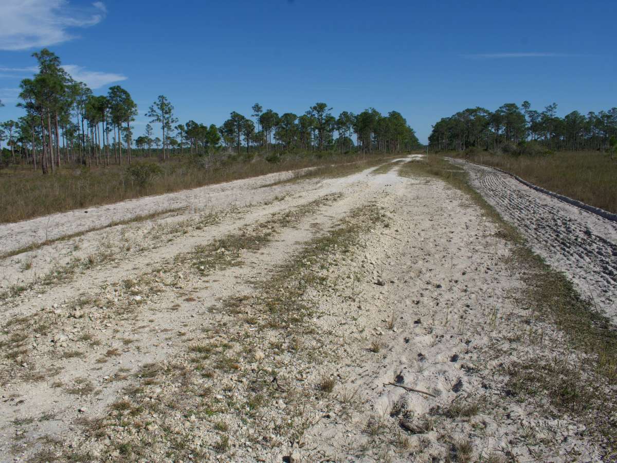
Road 8 varies in width from single vehicle to two vehicle wide. Trail conditions vary from compacted rock to soft, deep, loose sand. There are a few sections that can have deep sticky mud following rains. During summer and fall, expect wide/lengthy deep water crossings (greater than 12 inches). Obstacles up to 12 inches can be expected at times on the trail and may require cutting/removal. The north termination of Road 8 is a deep water hole that is part of a natural marsh/wetland area. Fencing along the western edge prevents continuation. The turnaround is very muddy and soft and requires 4WD, or extensive backing down a soft sandy trail to a more compacted area for turnaround. Other obstacles along the trail are the free-ranging cattle that are on the property. This is a working cattle operation, and large cattle or bulls at times will be very close range and block trails or pull off areas. Numerous whoops, ruts, potholes, washboard sections, and areas of loose rock are found throughout the trail. Would not recommend exploring this trail in a low-clearance or 2WD vehicle. The narrow sections will require pulling into soft sand or muddy shoulders that may slope steeply into deeper drainage swales. Wrong tire placement may result in sliding into wetlands or getting hung up in thick mud. There is a day-use permit fee of $3 per person or $6 per vehicle for daily use. Some exceptions may apply to those who hold a current WMA Permit from FWC. Check with FWC and download the specific WMA regulations posted on their website. All visitors are required to check in at the “Check Station”, which is an iron post next to an information board located on the south side of Tuckers Grade. During hunting seasons, visitors may also need to check in with the staff at the hunter check station and show the day-use permit prior to being granted further access to the WMA. ** The Florida Fish & Wildlife Commission limits access to only named and numbered trails due to severe impacts of Off-Road Vehicle/Off-Highway Vehicles (ORV/OHV) and related environmental damages. Remember to tread lightly and to remain on only named or numbered roads/trails.** The opportunity to view Florida wildlife (e.g. Alligators, Whitetail Deer, Wild Hogs, Coyotes, Bobcats, Bald Eagles, etc.) or cattle along this trail is very good. There are several picturesque ponds nearby that provide great fishing and additional wildlife viewing opportunities.
Difficulty
During summer and fall, expect wide/lengthy deep water crossings (greater than 12 inches deep). The north termination is a deep water/mud hole that is part of a natural marsh/wetland area that does not have a bypass. The turnaround is very muddy and soft and requires 4WD, or extensive backing down a soft sandy trail to a more compacted area for turnaround.