Trail Overview
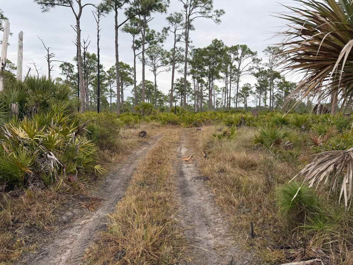
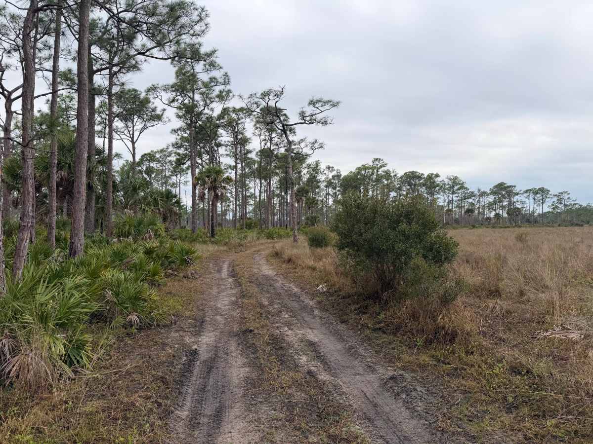
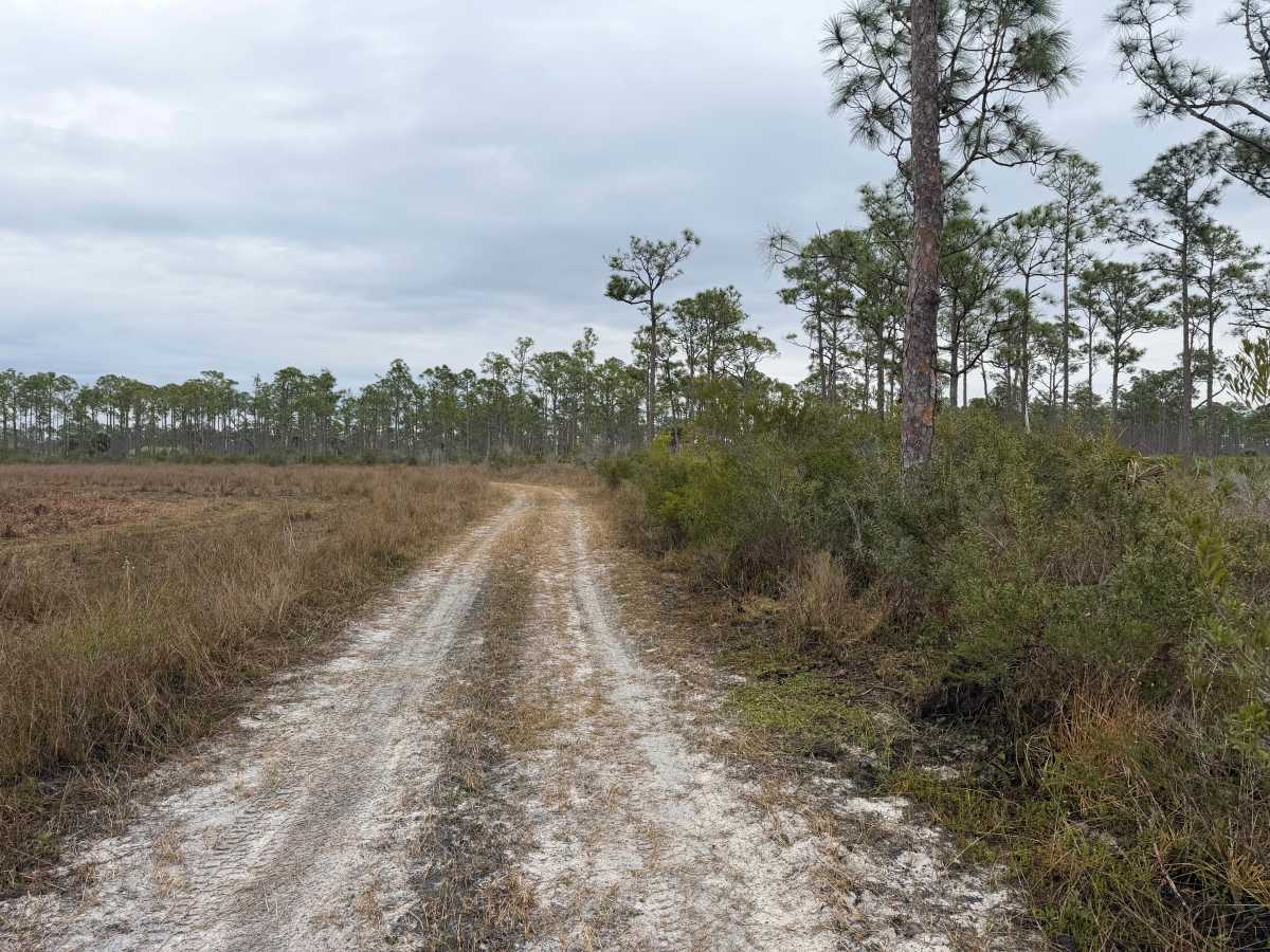
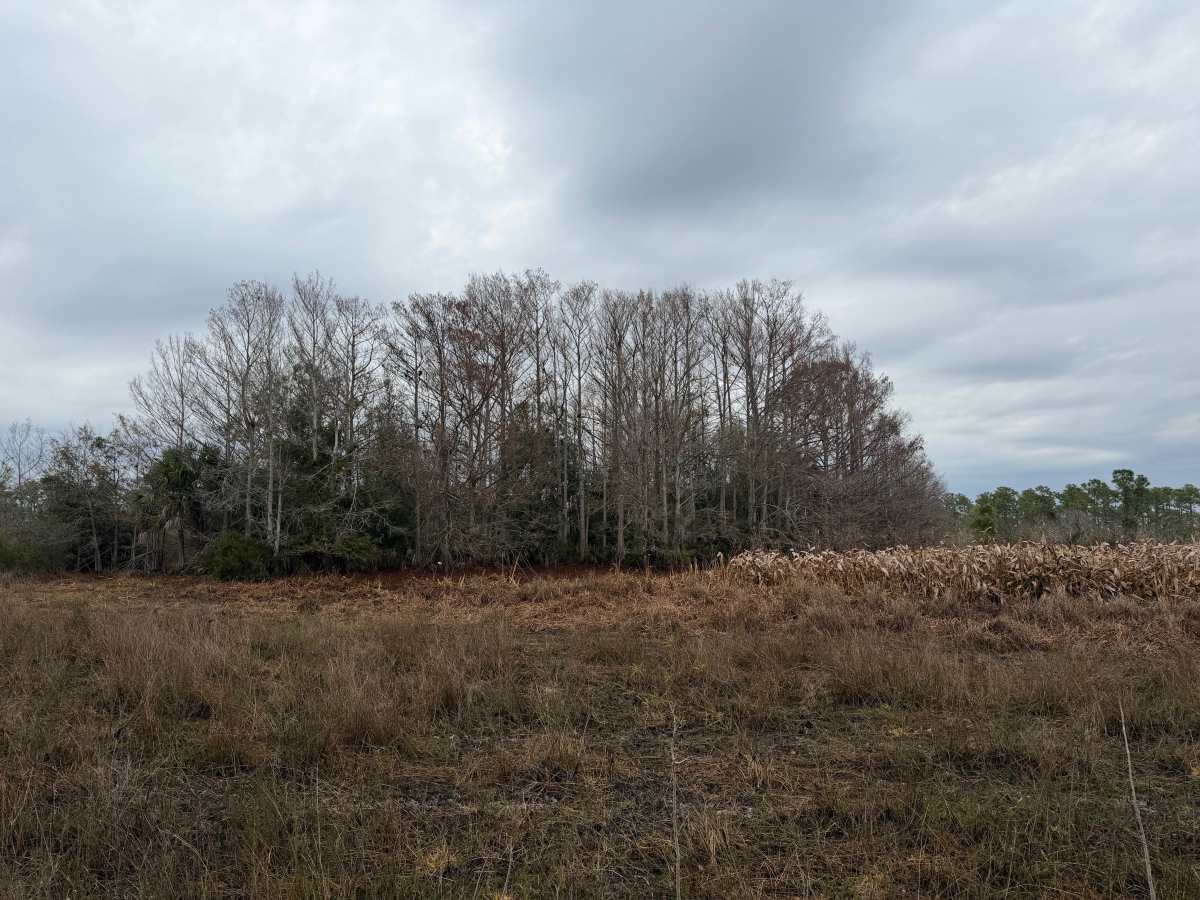
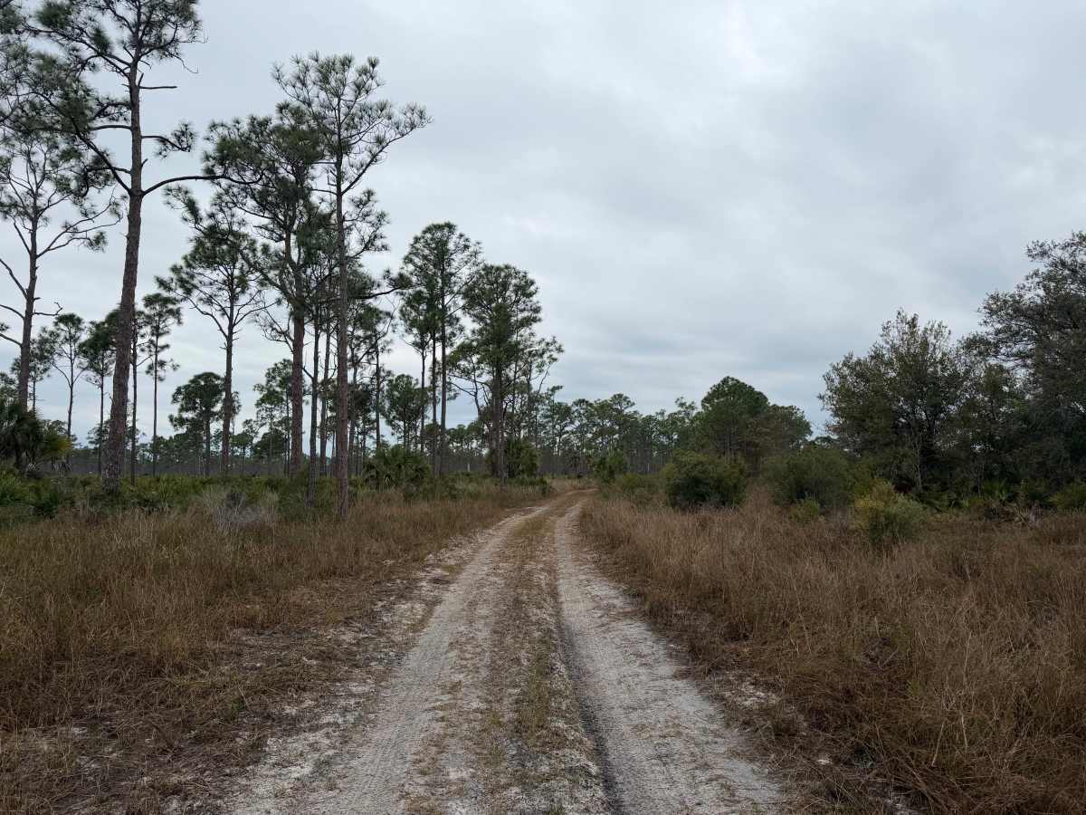
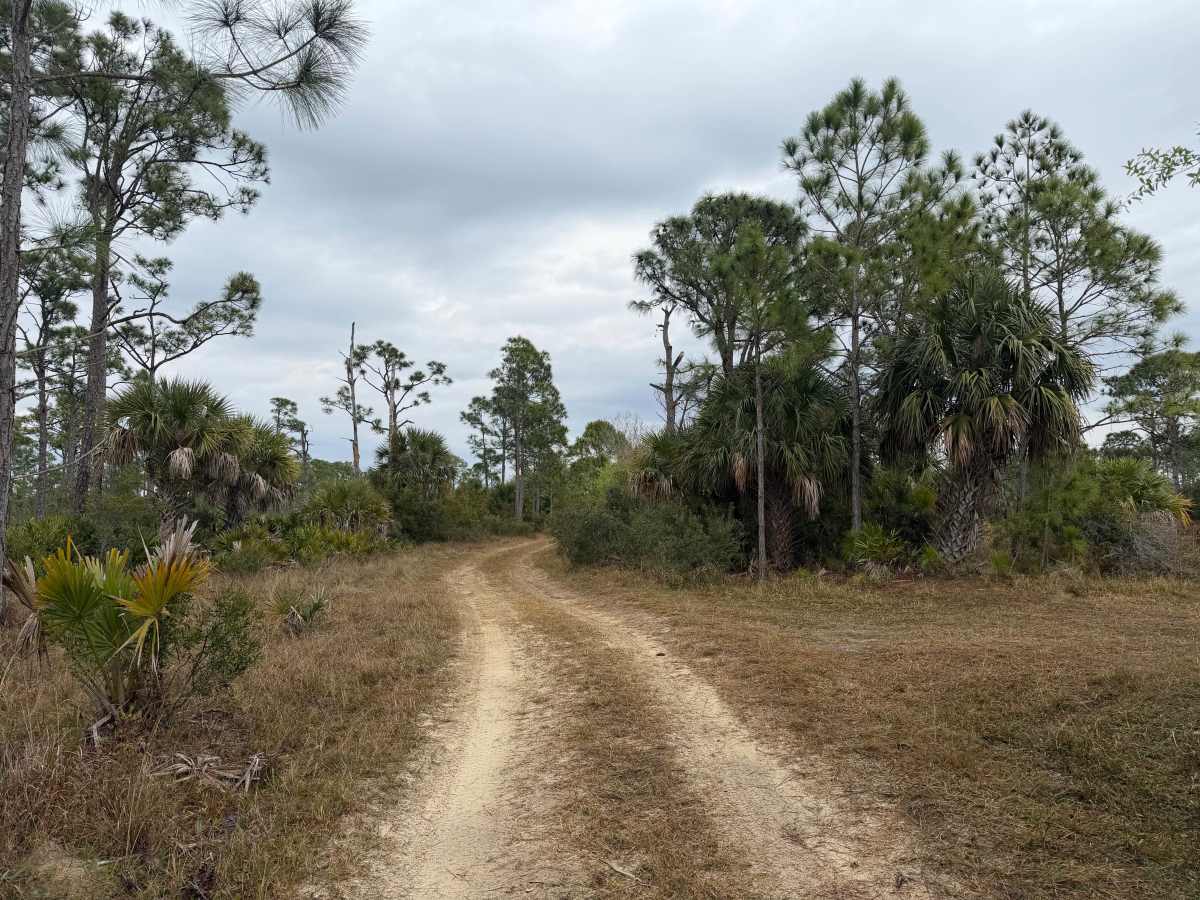
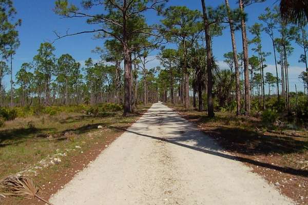
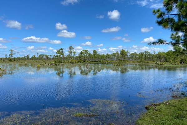
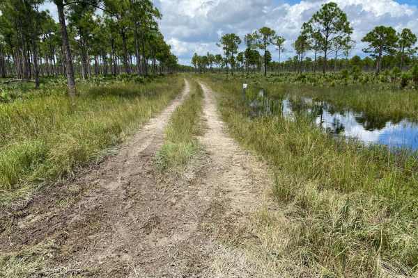
This trail is located within the Babcock-Webb Wildlife Management Area. The trail is located off Tram Grade and loops around a scenic fishing pond and cypress marsh. Good opportunities to view wildlife on this trail. This is a single vehicle wide trail that is mostly dirt, with some segments of soft sand. There are some off-camber segments. This trail is considered unimproved and is not maintained. Potholes, tight trails, overgrown vegetation, mud holes, potholes, whoops, ruts, and uneven grades are common. During the rainy season, deep mud, water crossings deeper than 12 inches, and obstacles such as downed trees/branches may be encountered. Low clearance and 2WD vehicles are not recommended. There is a day-use permit fee of $3 per person or $6 per vehicle for daily use. Some exceptions may apply to those who hold a current WMA Permit from FWC. Check with FWC and download the specific WMA regulations posted on their website. All visitors are required to check in at the “Check Station”, which is an iron post next to an information board located on the south side of Tuckers Grade. During hunting seasons, visitors may also need to check in with the staff at the hunter check station and show the day-use permit prior to being granted further access to the WMA.
Difficulty
Uneven, rutted dirt trail with potential for loose debris (e.g. rock, tree branches, washes, etc.). Water crossings 12 inches deep or more, areas of loose sand or sandy washes, potential for mudholes or obstacles up to 18 inches. Road is mainly single vehicle wide with areas to pass.