Trail Overview
This trail is located between timber company lands and is a public easement leading to the Osceola National Forest and the Osceola Wildlife Management Area (WMA). The trail is open to public access year-round unless otherwise posted. This trail is open only to registered highway legal motor vehicles. All-terrain vehicles (ATV’s), off-highway vehicles (OHV’s), side-by-sides (SxS), and unlicensed/unregistered motorcycles or vehicles are prohibited. There are no fees or permits required to access or use the trails.
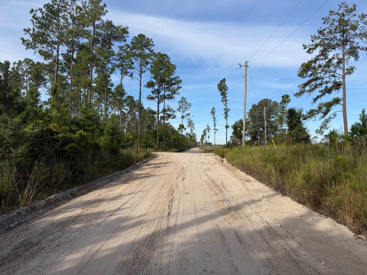
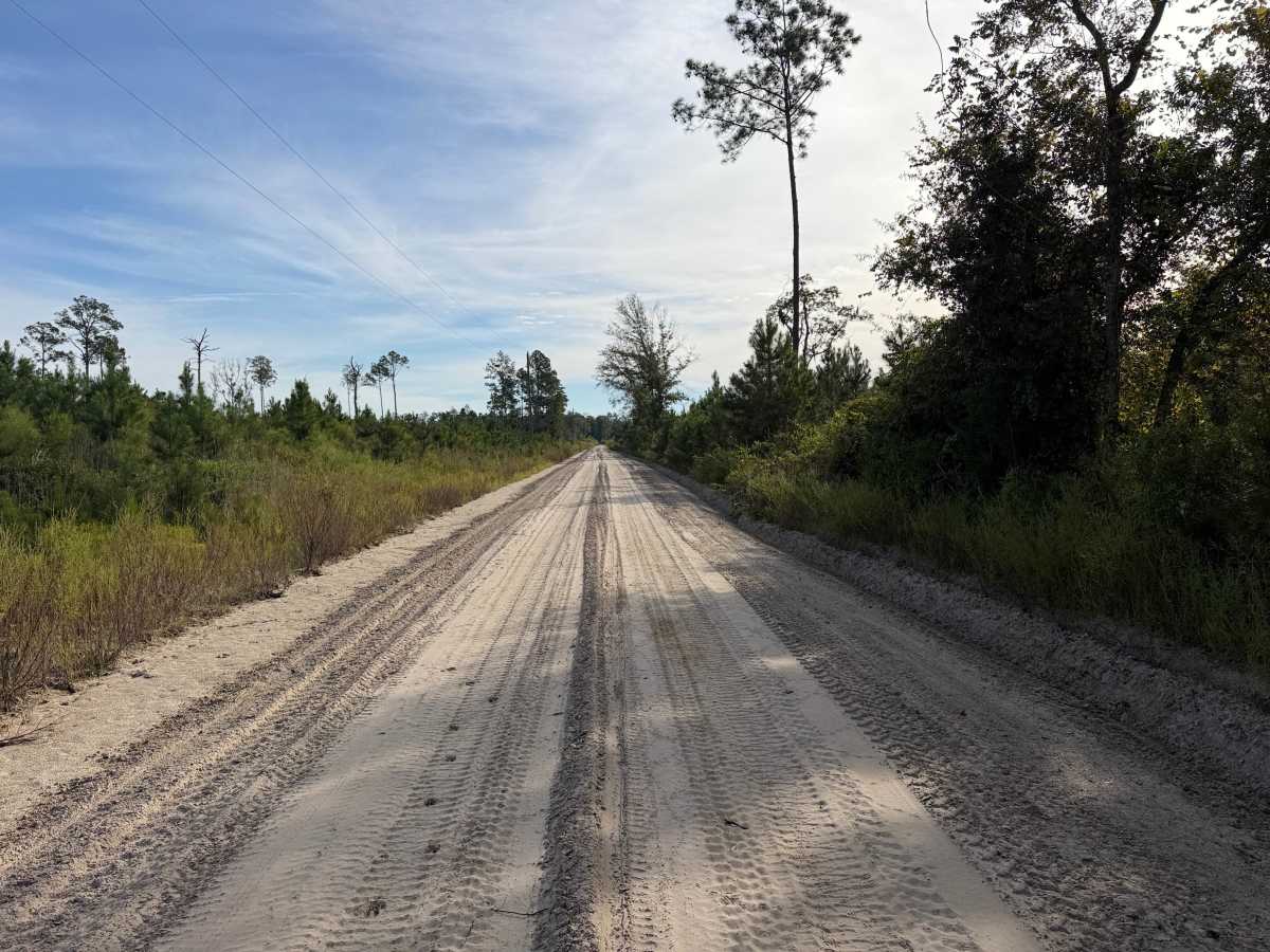
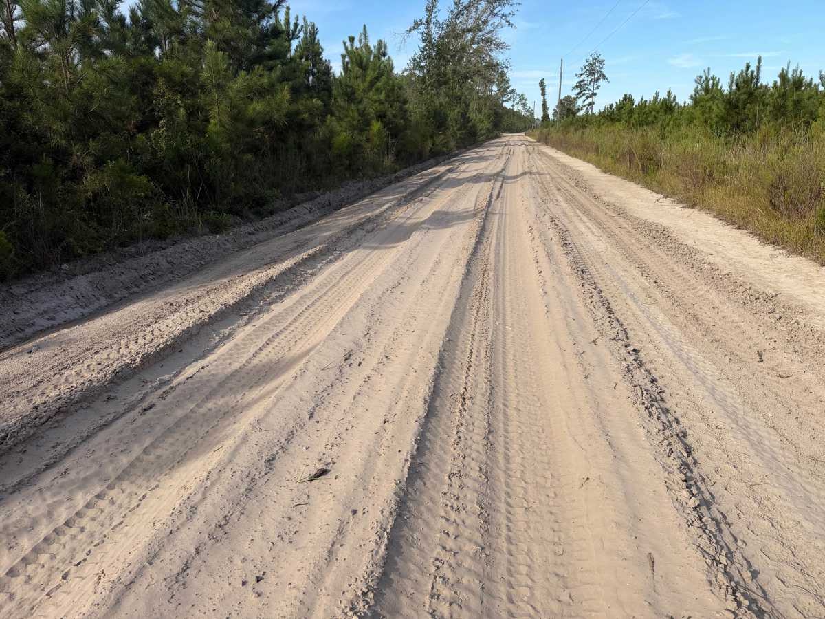
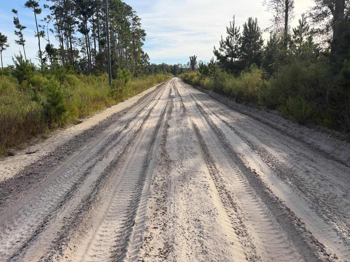
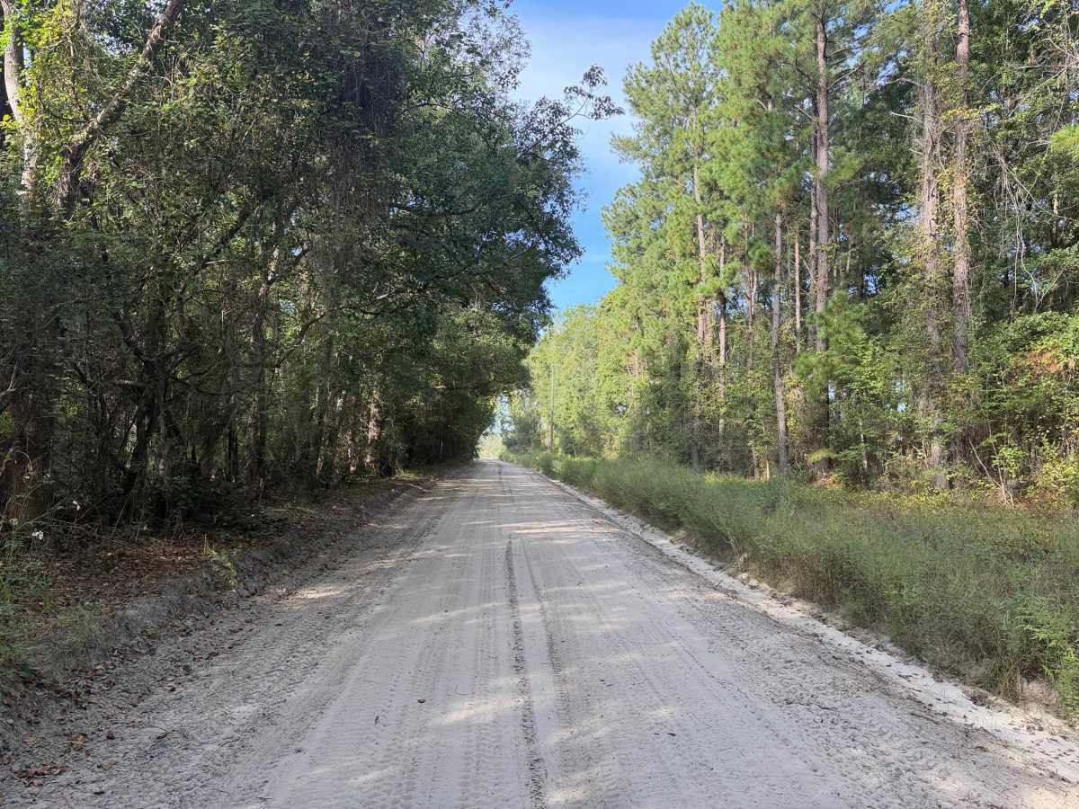
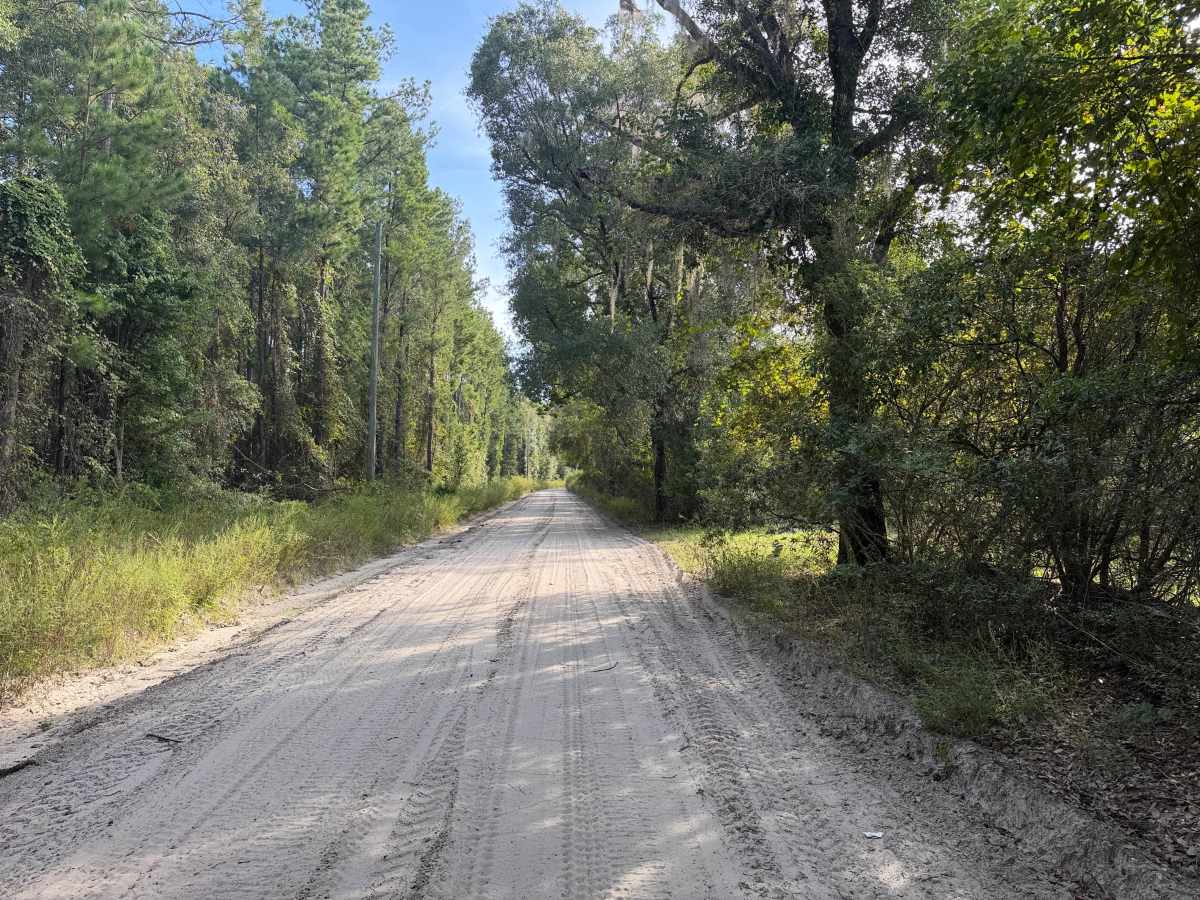
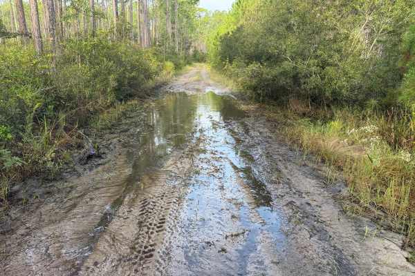
This trail runs east to west, leading to the Osceola National Forest. The trail does not appear on forestry maps and is an unimproved, unmaintained public right-of-way leading into the national forest. The trail is composed of soft, loose and deep sand for the majority of the trail length. There are a few select and isolated pockets of muddy/soft dirt. Deep ruts, whoops, and deep sand can be expected almost the entire length of the trail. A high clearance 4WD is recommended for this trail.
The remoteness of this area significantly limits cellular coverage. Recommend having backup navigation and communication means. Having maps offline is a must. Also would recommend paper maps or having back up GPS. Additionally with the remoteness, ensure to be equipped for self-recovery or off-road tire/vehicle repairs. There are numerous locations on trails leading out to this trail where there is evidence of vehicles getting unexpectedly trapped in sand or mud.
Difficulty
Uneven, rutted sand trail with potential for loose debris (e.g., rock, tree branches, washes, etc.). Water crossings 18 inches deep or more, areas of loose sand or sandy washes, potential for mudholes or obstacles up to 24 inches. Road has ledges, steep grades dropping into adjacent wetlands/swamp land. Trail is mainly single-vehicle-wide with limited areas to pass.




 Offroad