Trail Overview
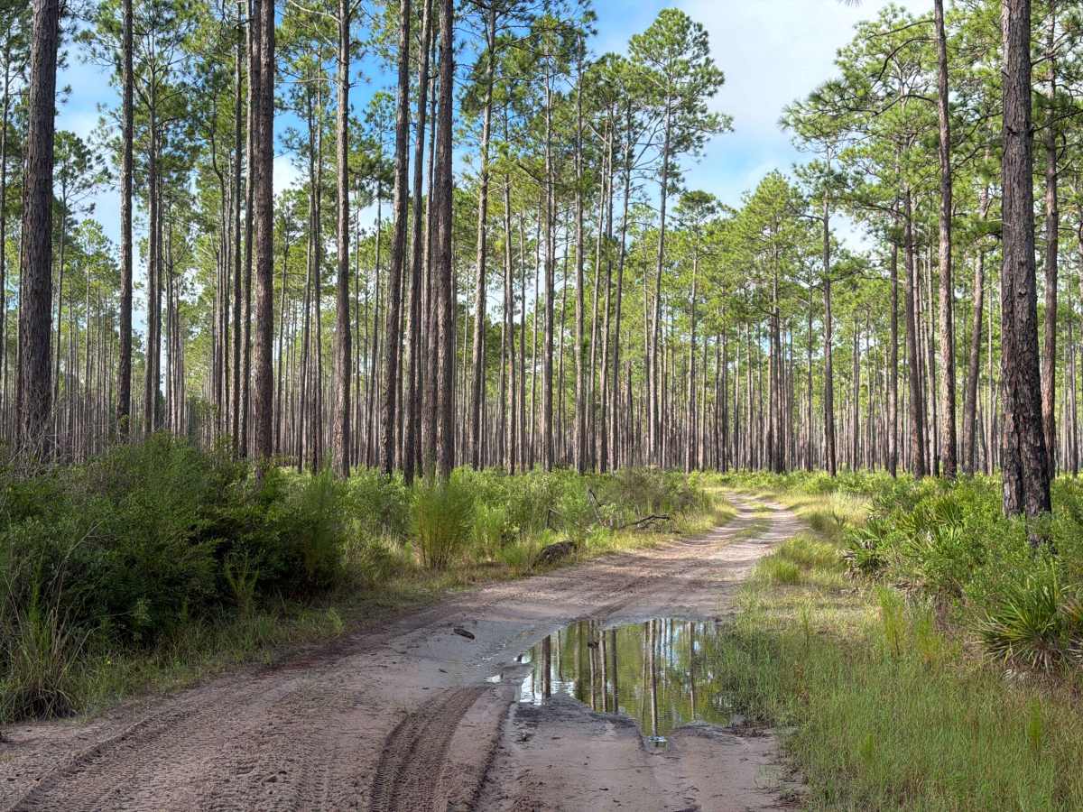
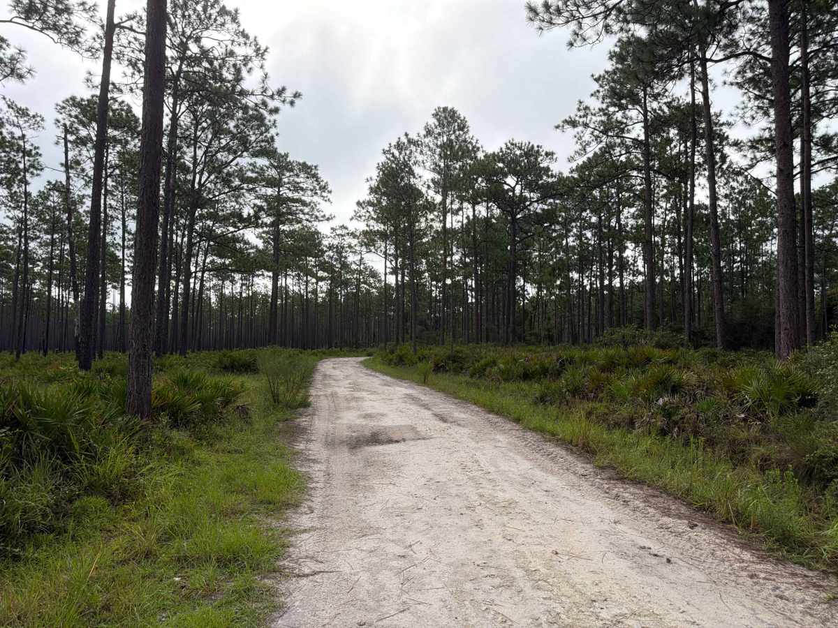
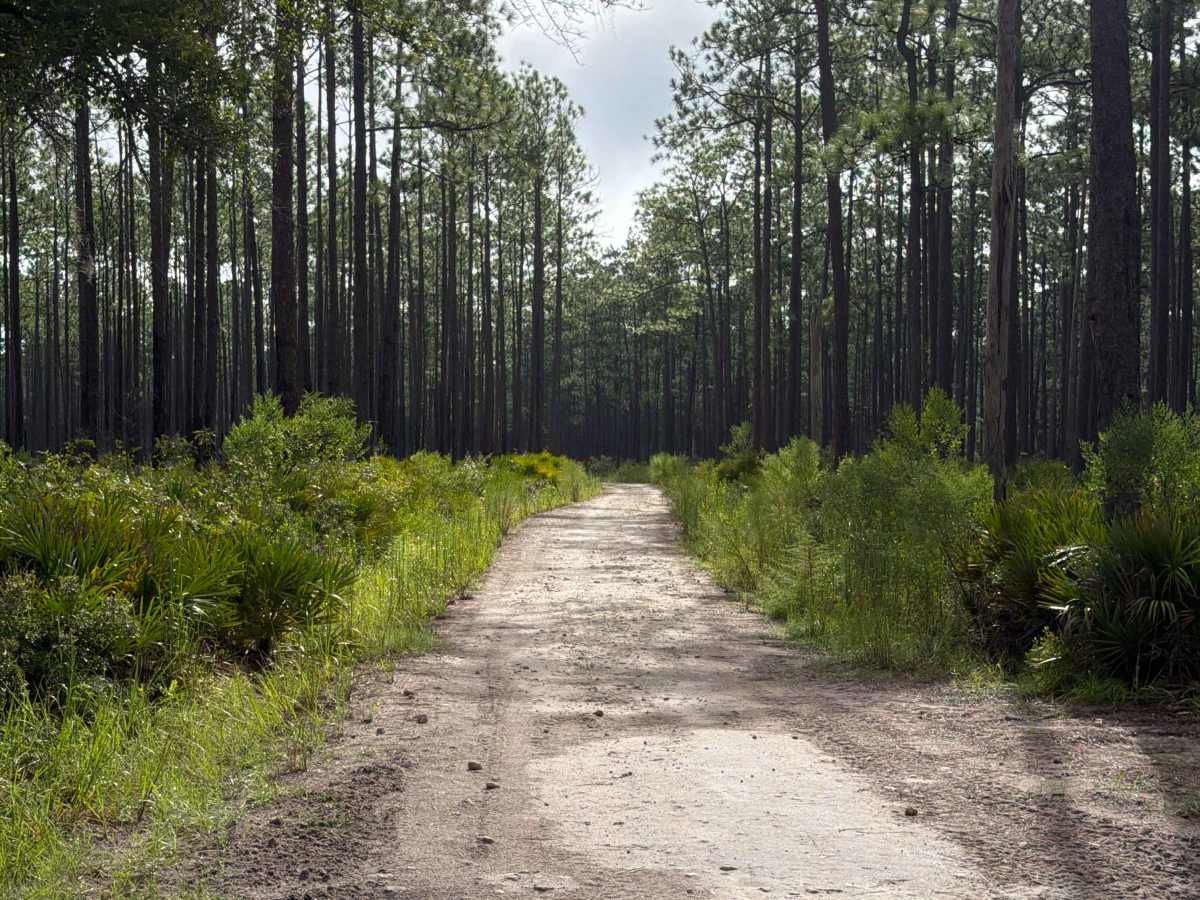
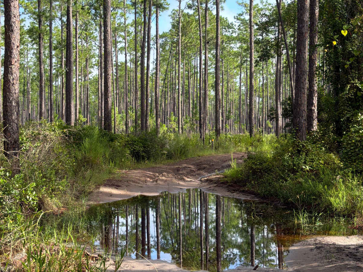
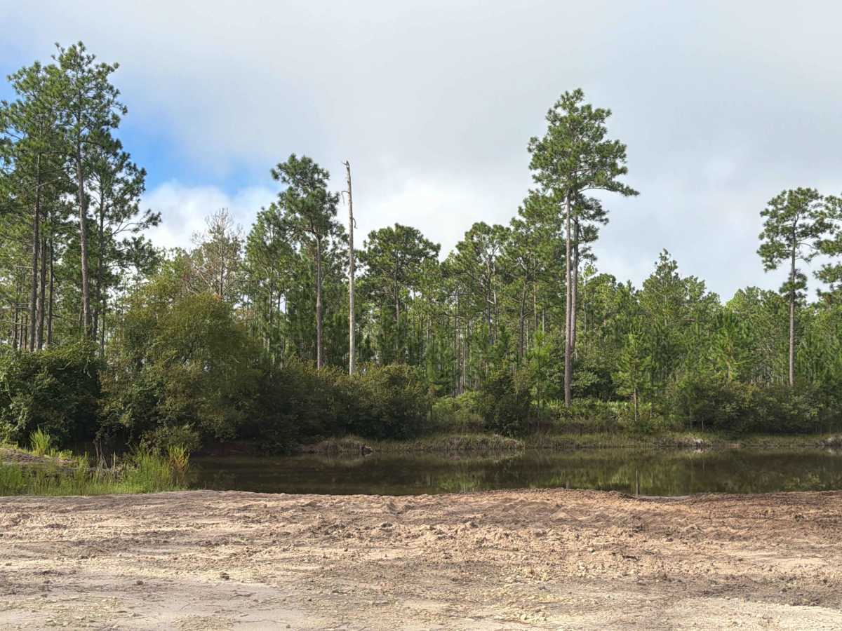
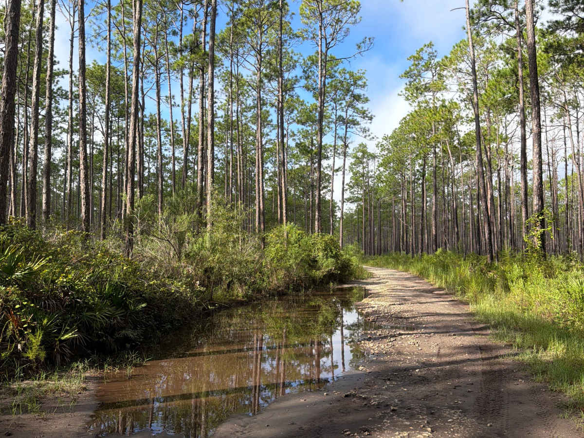
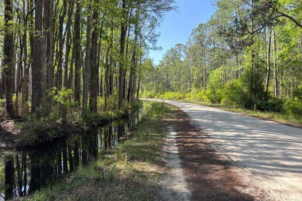
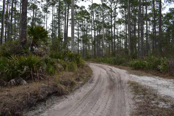
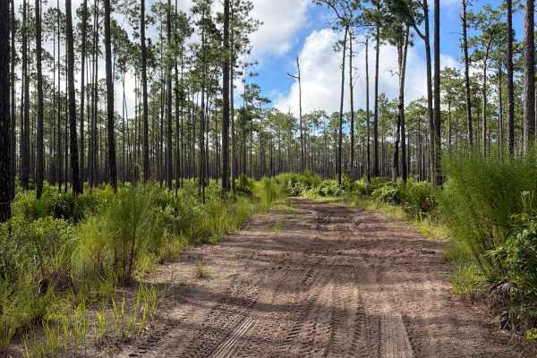
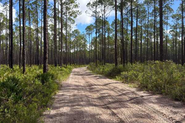
FS 215B connects Coleman at the south end and the Connector at the north end. It takes you through the southern part of the Osceola National Forest and gives you access to the Mount Carrie OHV Trailhead and several other off-road trails. The road conditions are a mixture of packed sand, loose sand, some deep holes, and ditches that can turn into 2-foot-deep mud holes after rainy days. The road is not always wide enough for two vehicles to pass. 4WD and high clearance are recommended. All vehicles must be street legal. Please be aware that the cellphone reception is weak and the next gas station might be far. Osceola National Forest is a National Forest located in northeast Florida. It’s a peaceful place where people come to escape their busy lives and reconnect with the land. Flatwoods and swamps transport visitors back in time and provide a tranquil setting for first-rate hunting, fishing, and swimming opportunities.
History
Osceola National Forest is named in honor of the noted Seminole warrior, Osceola. The forest also has a history of Native American presence, as they inhabited and traveled through this area.