Trail Overview
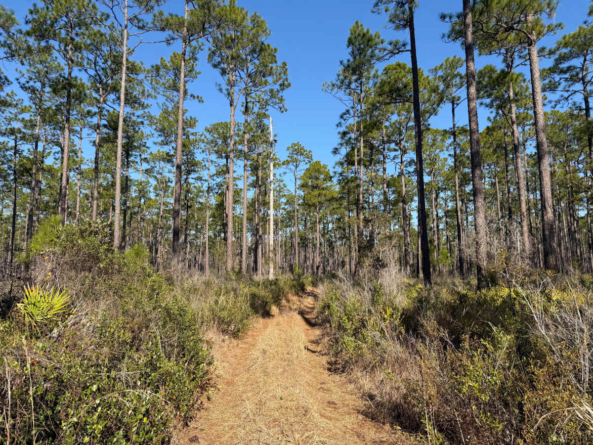
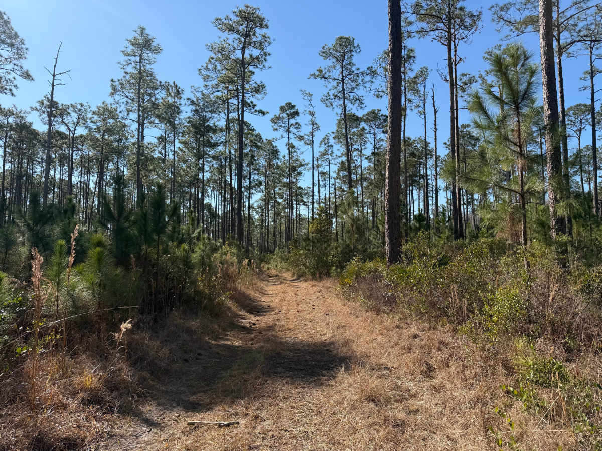
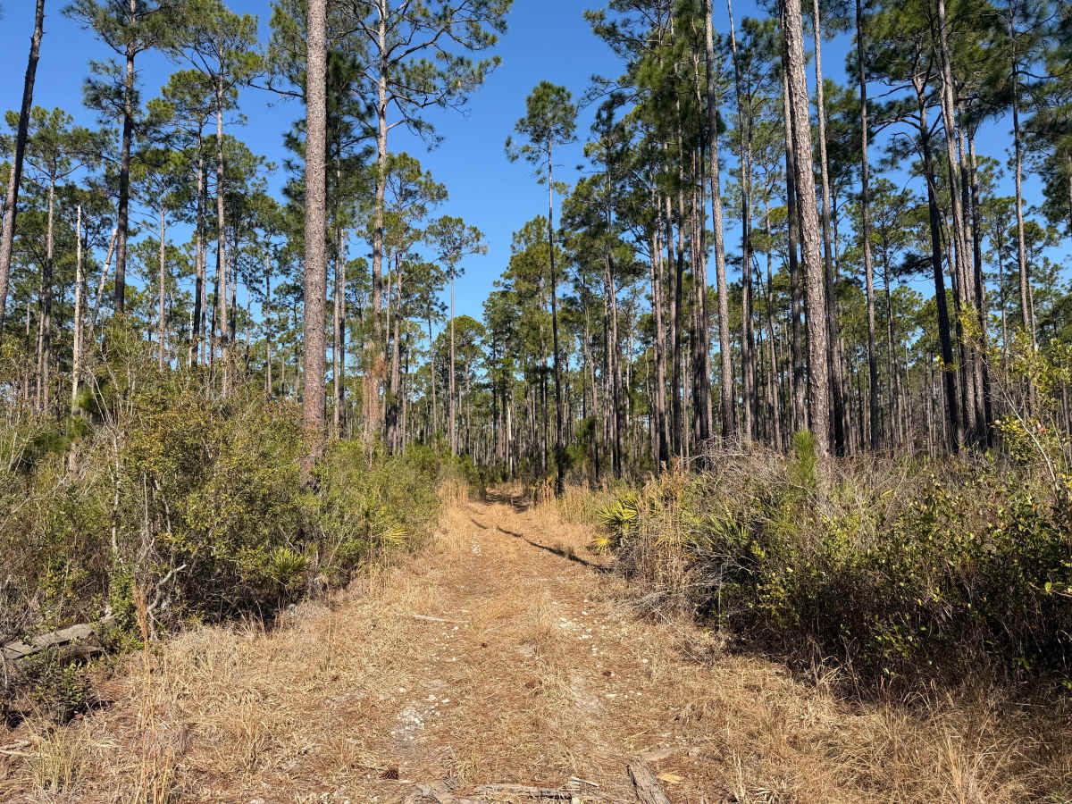
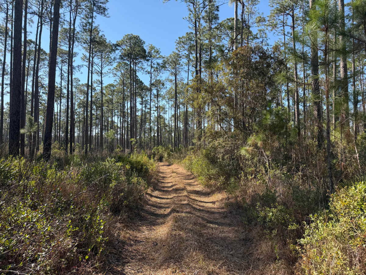
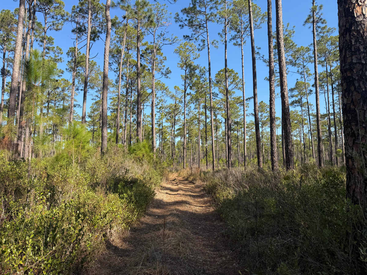
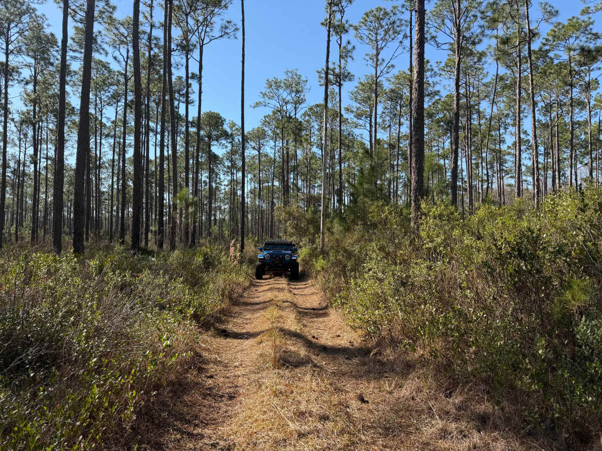
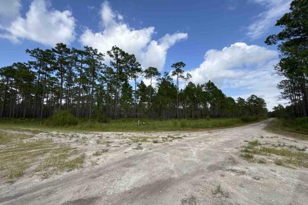
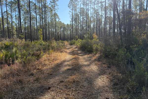
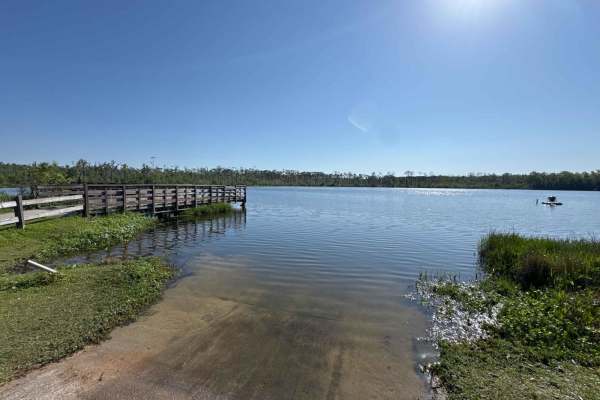
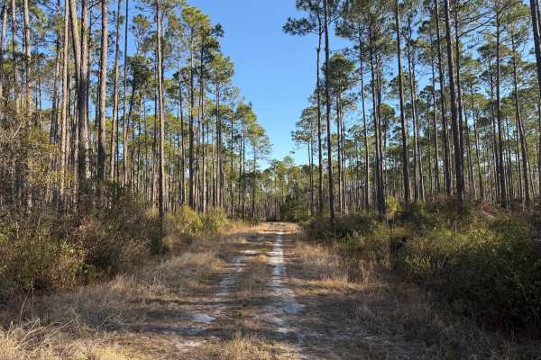
This trail runs through the Osceola National Forest (NF) and Wildlife Management Area (WMA). The trail is open to public access year-round unless otherwise posted. The trail is open to registered highway legal motor vehicles, all-terrain vehicles, recreational off-highway vehicles (side-by-sides), and unlicensed or unregistered motorcycles. Vehicle access is only permitted on named and numbered trails. County and State roads/right of ways may prohibit or limit access to only highway legal vehicles. Additionally, some of the NF and WMA main internal trails may have limited or restricted vehicle access based on vehicle type. The USDA Forest Service has published a free online “Motor Vehicle Use Map (MVUM), Osceola National Forest” that reflects and identifies these trails on the map key. This is an excellent secondary resource to have when exploring trails that have yet to be reviewed and rated by trail guides. There are no off-road vehicle (ORV) permits required, making Osceola NF the only NF in the state that does not require an ORV permit. Access to trails are year round, unless otherwise posted. The trail head is located on County Road 250 (CR 250). There is no staging area on CR 250. This trail is an unimproved, single vehicle-wide dirt and sand mixed trail. The trail is tight and narrow, lined with trees and tight switchbacks. The trail is extremely overgrown with vegetation; pin stripping can be expected. Large debris (e.g. fallen trees, branches, rocks, stumps, roots, etc.), some may be seen, others may be covered with the overgrown vegetation. Several times encountered logs, stumps, or large, sharp rocks on the rail covered with vegetation. The trail is not heavily traveled. The trail is scarred with old, deep wheel ruts and whoops from some rolling topography. High clearance and 4WD are recommended. The Department of Forestry (DNF) cautions on their website and published maps that the designation of a road or trail should not be interpreted as the trail is passable, actively maintained, or safe for travel. Seasonal weather may rapidly change the trail conditions. Following rains or storms, water crossings 12 inches or more are possible. Also, following rains or storms, areas of washes or fallen debris that are 12 inches or greater are likely. Trail conditions can deteriorate rapidly and may limit access to only high-clearance 4WD. Following storms or rain events, trails may become impassable. Maintenance of trails is limited due to limited available resources. Following storms or seasonal weather events, the trails may go unmaintained.
Difficulty
Unimproved, uneven, rutted, dirt trail with potential for loose debris (e.g. rock, tree branches, washes, etc.). Seasonal water crossings 12 inches deep or more, areas of loose sand, potential for mudholes or obstacles up to 18 inches. The trail is mainly a single vehicle-wide trail with areas to pass. Following storms or seasonal weather events, the trails may go unmaintained.