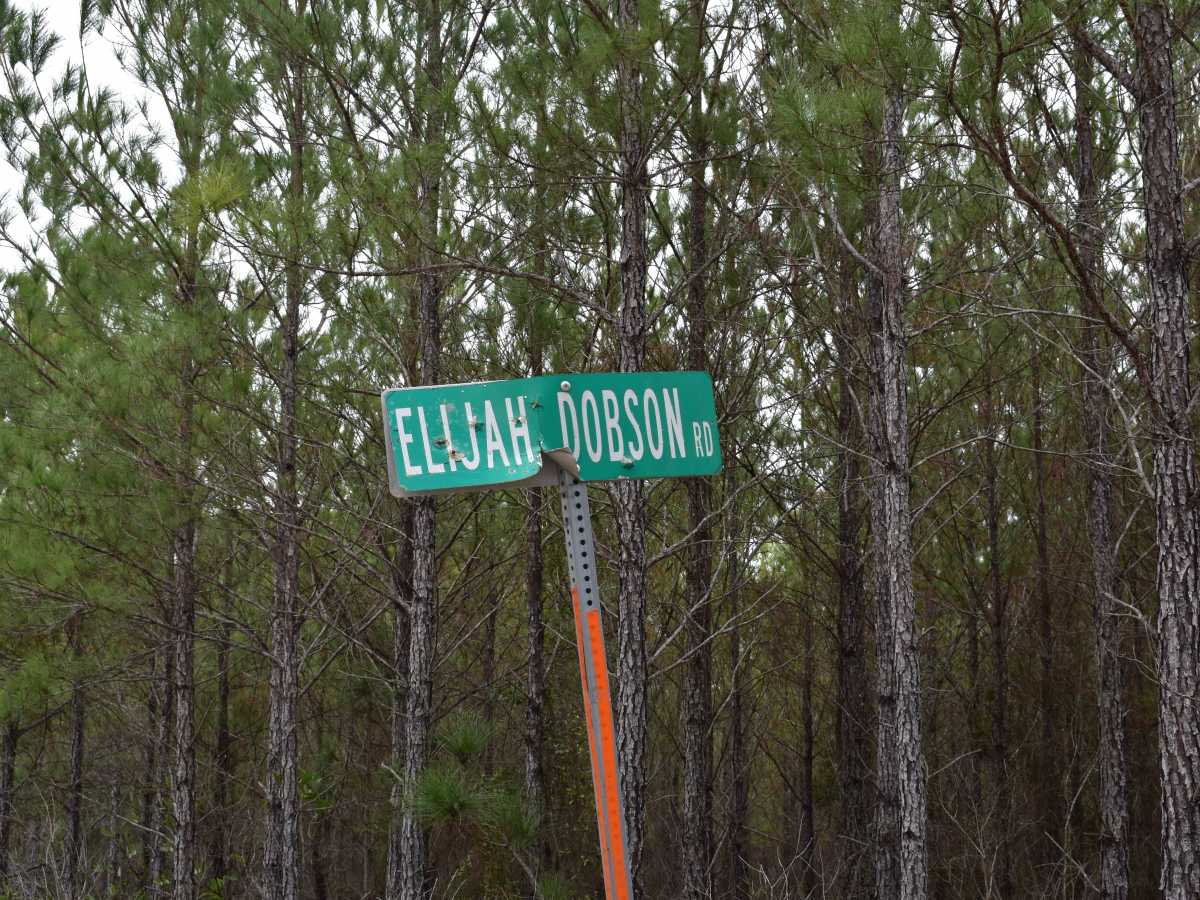
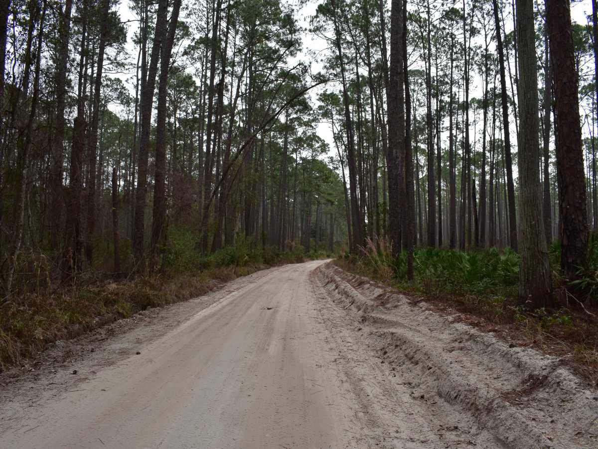
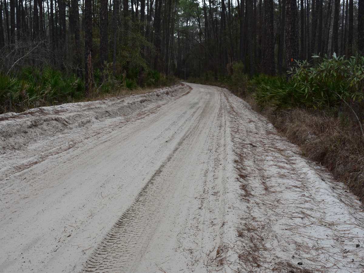
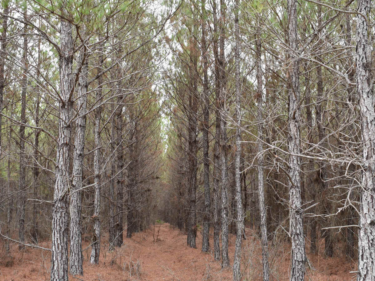
Trail Overview
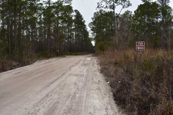
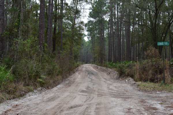
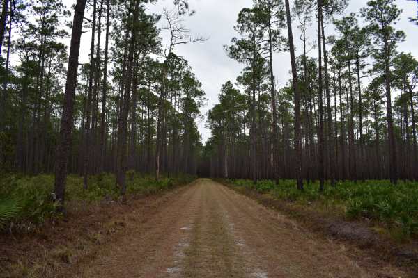
This trail cuts through private forest lands and private ranches. The trail is a public easement/right of way that is open to public access year-round. Any properties abutting the trail are private. Going off-trail or entering those properties without permission may be considered trespassing. Maintenance of this trail may be very limited. Check with the local authorities prior to accessing this trail with an unregistered or non-licensed off road/off-highway (OHV) vehicle. No permit fees are required for this trail. This trail is primarily graded sand. Some of the areas are rutted and soft. Navigating through those areas in a low clearance or 2WD vehicle might be challenging, especially following rain or periods of prolonged drought. These conditions may increase rutting or the softness of the sand, which would require high clearance or 4WD. The width of the trail is mostly two vehicles wide; the edges can be soft and drop off steeply into the parallel drainage ditches. The trail has limited traffic, so passing is not a major issue. There are some whoops and grade changes in addition to the areas of soft material and ruts. Wildlife is very prevalent, and multiple occurrences of deer and hogs crossed the trail. Rating this trail a 3 based on the rating criteria, for the majority of the year, it would be a 1 to 2. Safe preparation is to plan for a 3 in difficulty due to possible condition changes depending on the season, but in reality expect a 1 in difficulty once on the trail. This trail connects directly to an improved or paved roadway and requires traversing other interconnecting trails that make up this portion of the trail system. Depending on the chosen route, high clearance or 4WD may be required. Once on the trail, it was able to be completed in 2WD. The trail is primarily a single vehicle-wide trail with areas for passing. Wheel ruts, whoops, and some minor cabin roll (about enough to splash your coffee in the cup holder) can be expected. There are some minor ledges as the shoulder slopes down into the drainage ditch that parallels the trail. This is a scenic connector trail leading to various other spur trails.
Difficulty
Uneven, rutted sand trail road with potential for loose debris (e.g. rock, tree branches, washes, etc.). Seasonal water crossings less than 12 inches, areas of loose sand or sandy washes, potential for mudholes or obstacles (e.g. downed trees, stumps, rocks, etc.) up to 12 inches. Road is mainly single vehicle wide with areas to pass. Following rain and storms trail is likely to go unmaintained.