Trail Overview
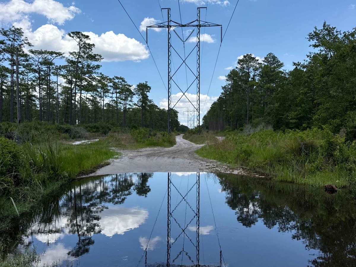
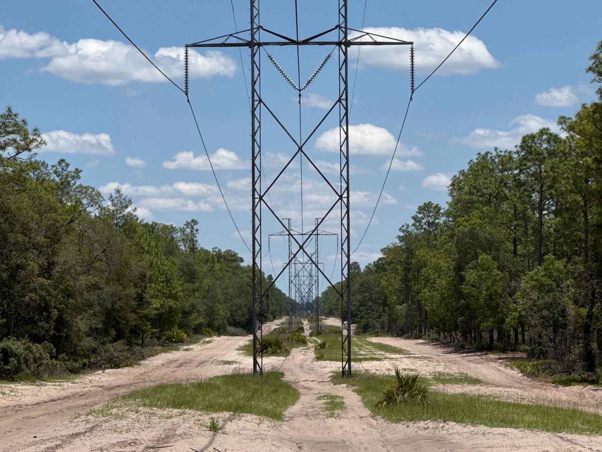
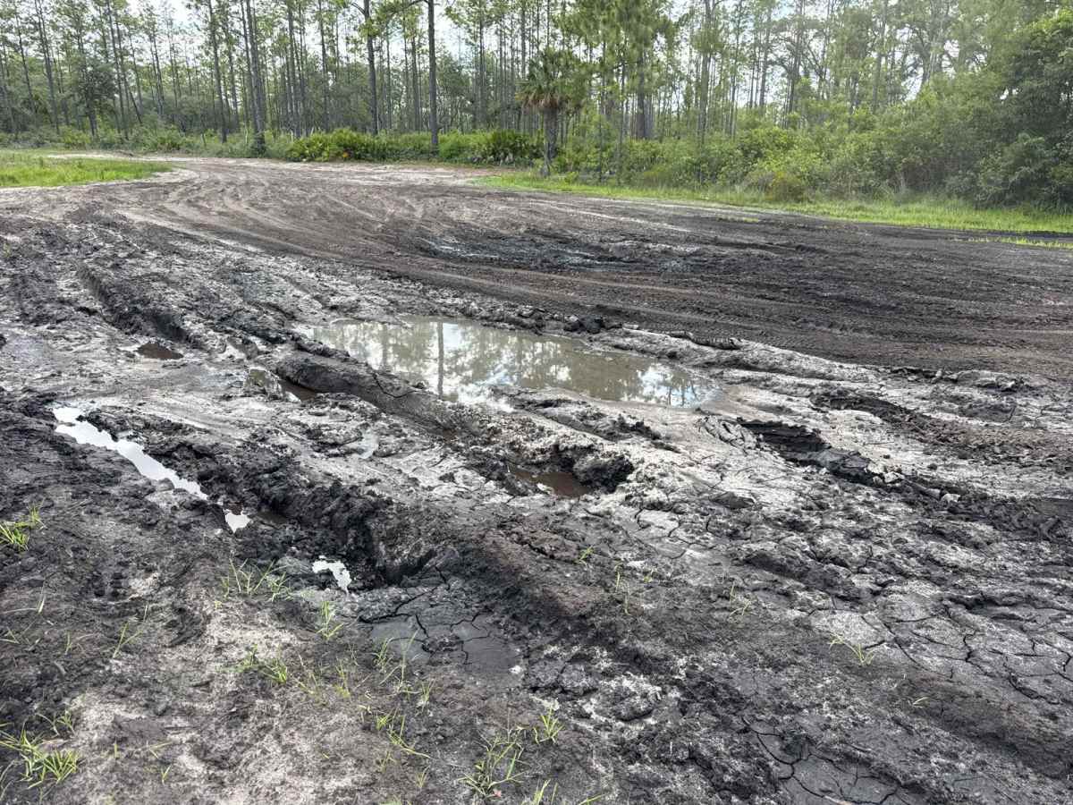
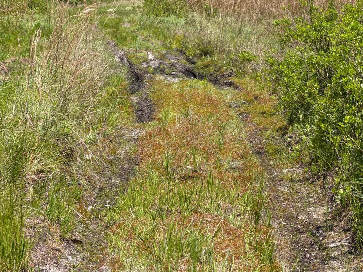
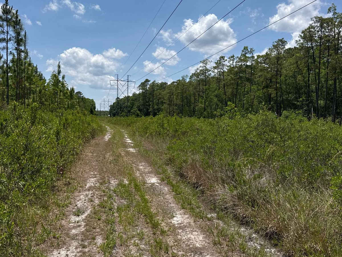
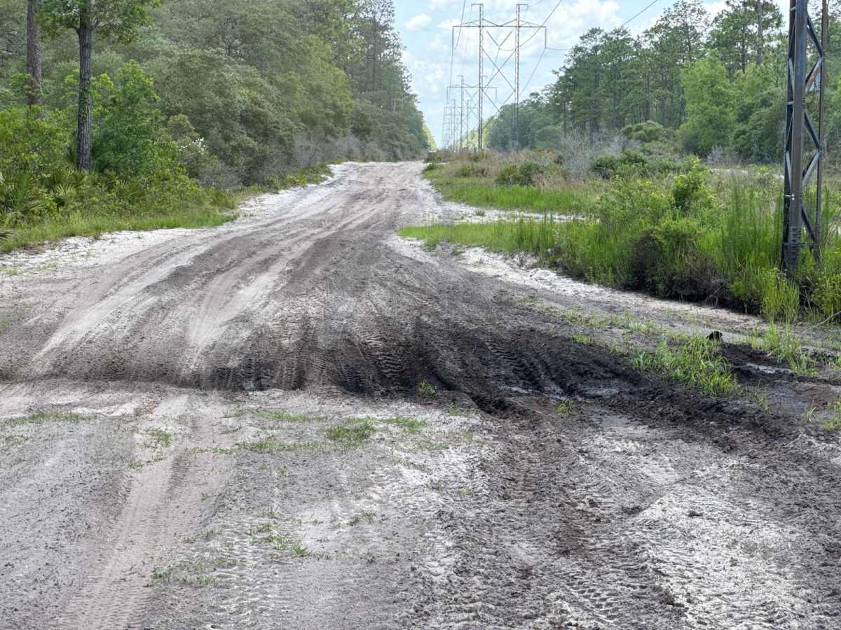
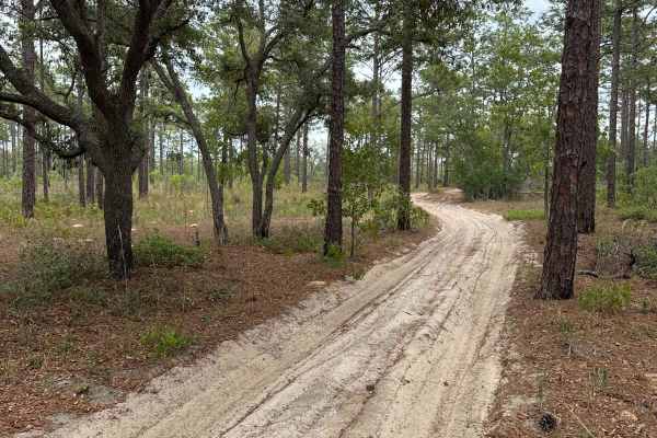
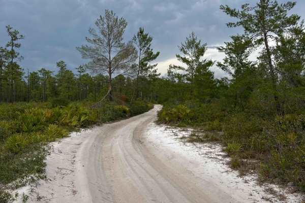
The East Wandering Wiregrass Trail is the extension of Ocala National Forest Road 10 and connects Telephone Trail South at the west end and Spring Creek at the east end in the southeast part of the Ocala National Forest. The trail is only open in the Winter after November 1st. The road conditions are a mixture of packed sand, loose sand, plenty of deep holes that can turn into 4-foot or deeper mud holes after rainy days, and areas that are constantly flooded, even in the winter. Water crossings are a significant aspect of this trail and can be dangerously hazardous. Leaf-covered bottoms, submerged ruts, and constantly changing terrain can make water depth assessment extremely difficult or even impossible, even after walking a crossing. Some holes may exceed five feet in depth and can deepen unexpectedly as vehicles enter them. Due to the frequency and depth of water crossings, a snorkel is highly recommended, if not needed, to reduce the risk of engine damage from water. Drivers need to carry appropriate recovery equipment and are highly encouraged to travel with at least one additional highly capable vehicle. Recovery points, tow straps, and winching equipment are likely to be necessary depending on seasonal conditions. Do not attempt after rain. The road is always wide enough for two vehicles to pass. 4WD and high clearance are mandatory. All vehicles must be street legal. Ocala National Forest is in Florida, north of Orlando. It's known for its large areas of sand pine scrub forest. The Juniper Springs, Alexander Springs, and Salt Springs recreation areas have natural pools and canoe runs. Hundreds of lakes and ponds include Lake Kerr and the enormous Lake George.
Difficulty
This trail has packed and loose sand, frequent deep holes, flooded sections, and hazardous water crossings that can change quickly with weather and seasonal conditions. Submerged ruts, leaf-covered bottoms, and holes that may exceed five feet make water depth difficult to judge, even after walking a crossing. Four-wheel drive, high clearance, and recovery gear are mandatory, and a snorkel and traveling with another highly capable vehicle are very strongly recommended. This trail should not be attempted after rain.

 Offroad