Trail Overview
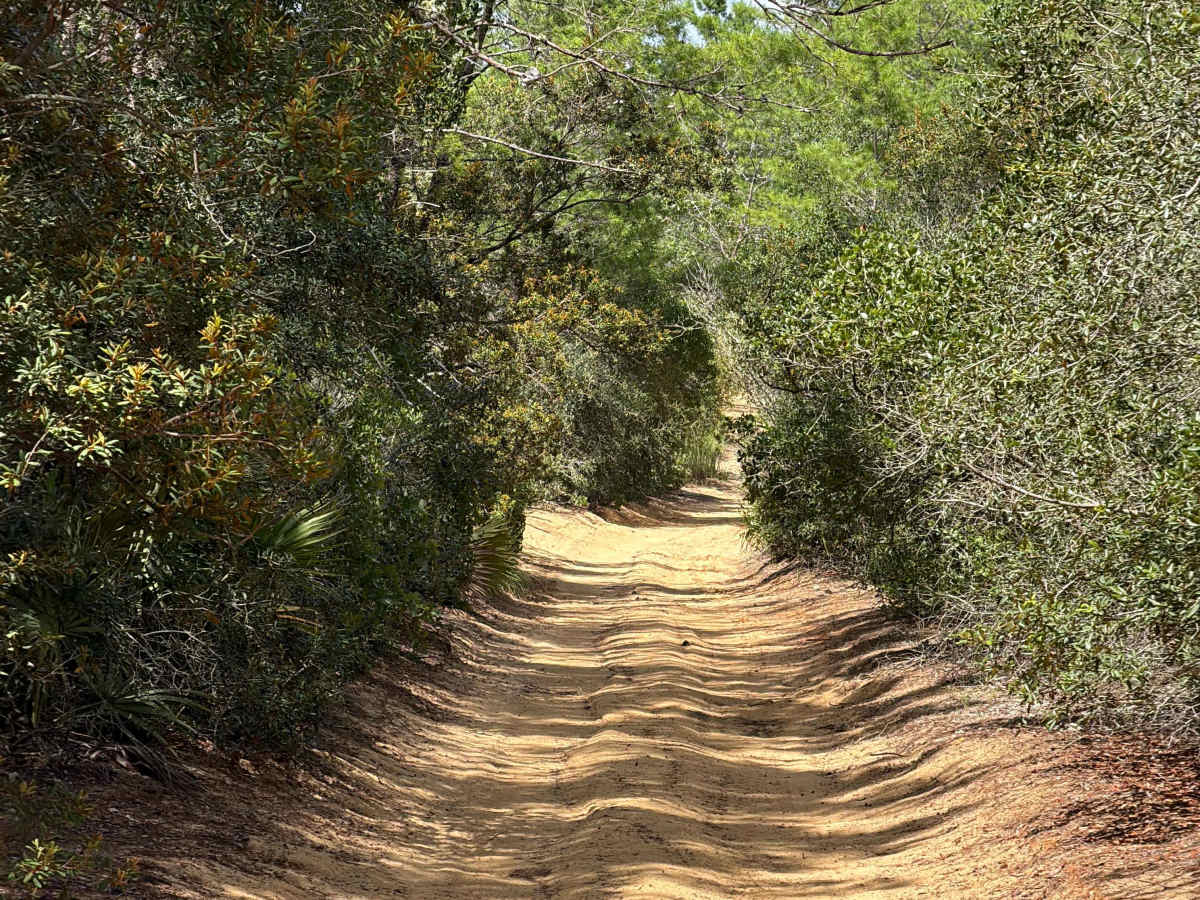
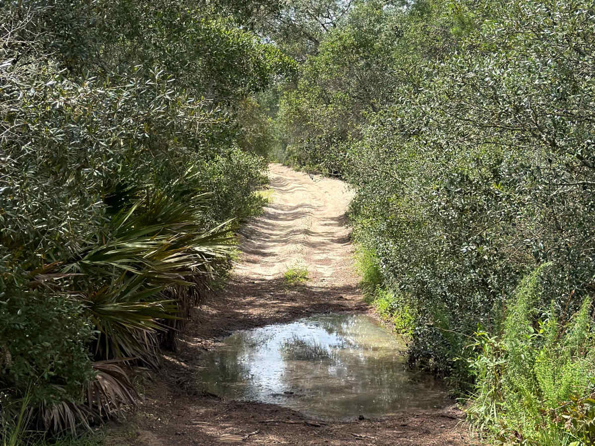
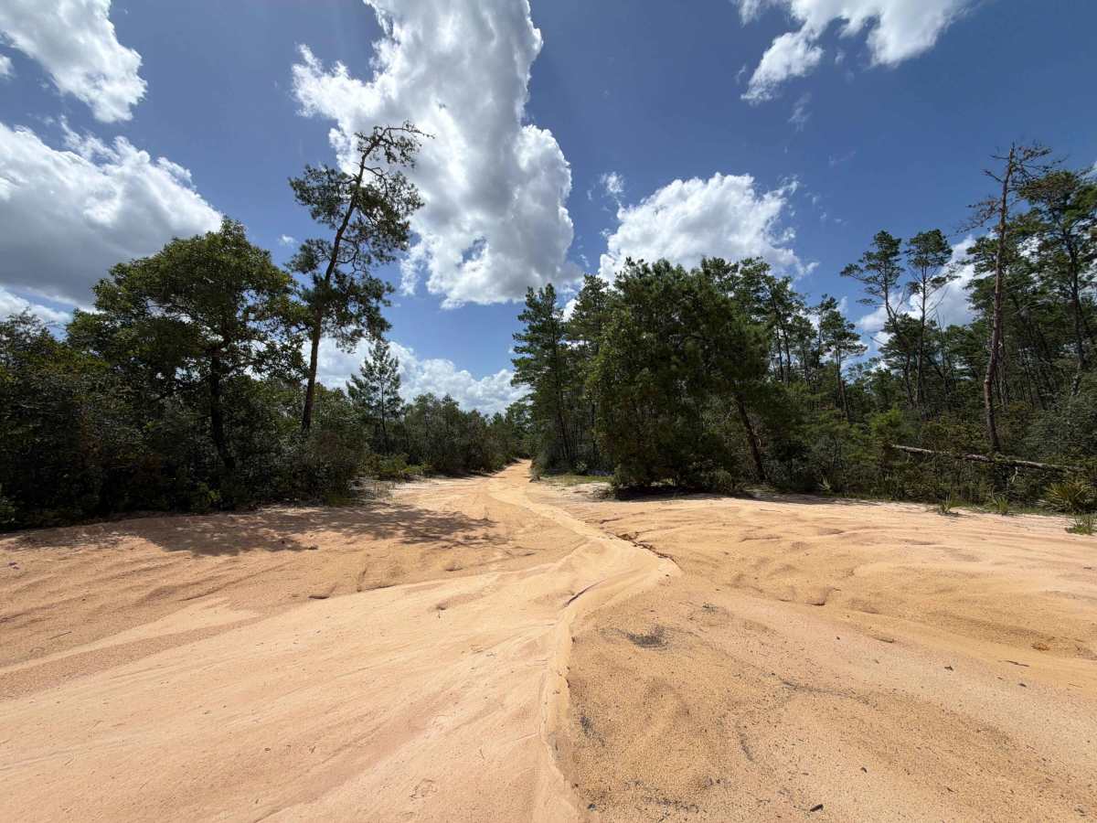
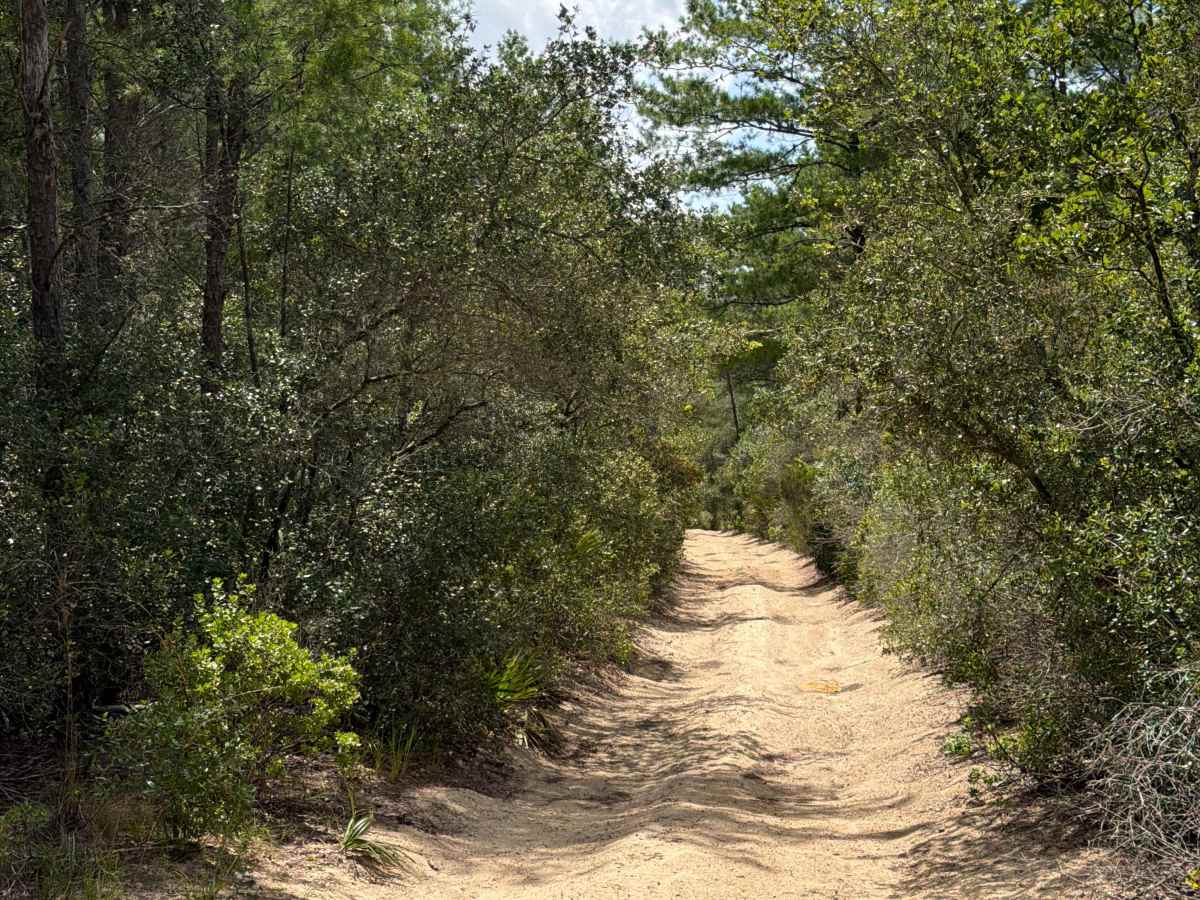
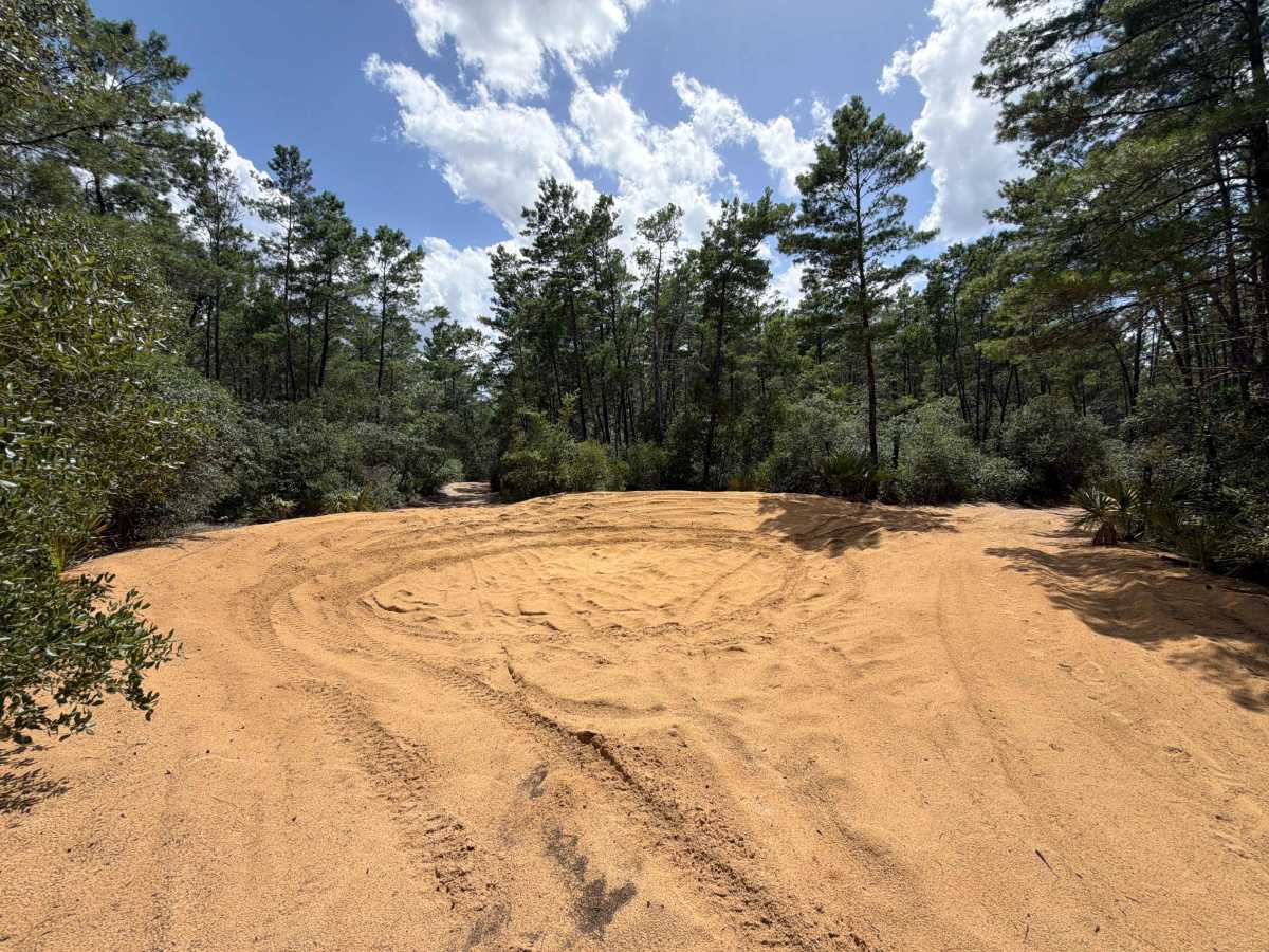
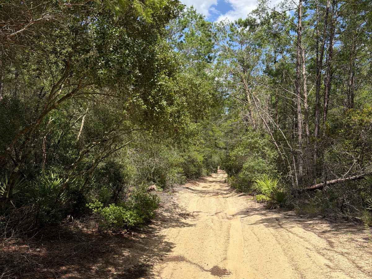
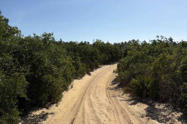
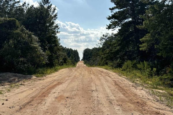
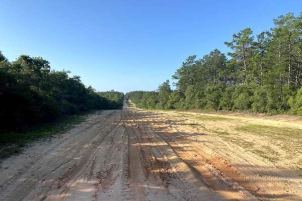
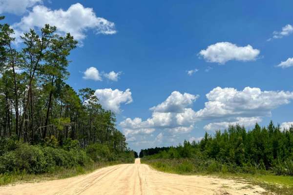
Centennial North, also known as Ocala National Forest Road 520, connects Centennial Gateway at the west end and FS 30-5.3 at the east end in the south part of the ONF. This trail is part of the Centennial OHV area. The road conditions are a mixture of packed sand, loose sand, and some deep holes that can turn into 2-foot-deep mud holes after rainy days and a few permanent mud holes. The road is very narrow and not wide enough for two vehicles to pass. 4WD and high clearance are recommended. Only OHV, ATVs, and motorcycles are permitted. A special use permit is necessary. Please be aware that cell phone reception is weak and the next gas station might be far. Ocala National Forest is in Florida, north of Orlando. It's known for its large areas of sand pine scrub forest. The Juniper Springs, Alexander Springs, and Salt Springs recreation areas have natural pools and canoe runs. Hundreds of lakes and ponds include Lake Kerr and the enormous Lake George.
Difficulty
This is an easy, non-technical, trail unless after heavy rain or during flood season in the summer. Don't take that trail if you're worried about scratches on your vehicle.