Trail Overview
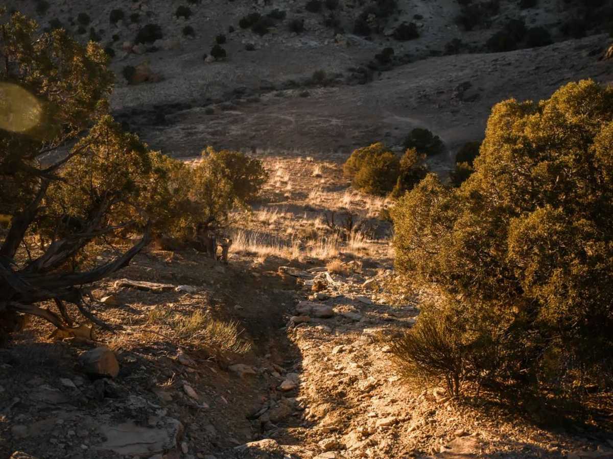
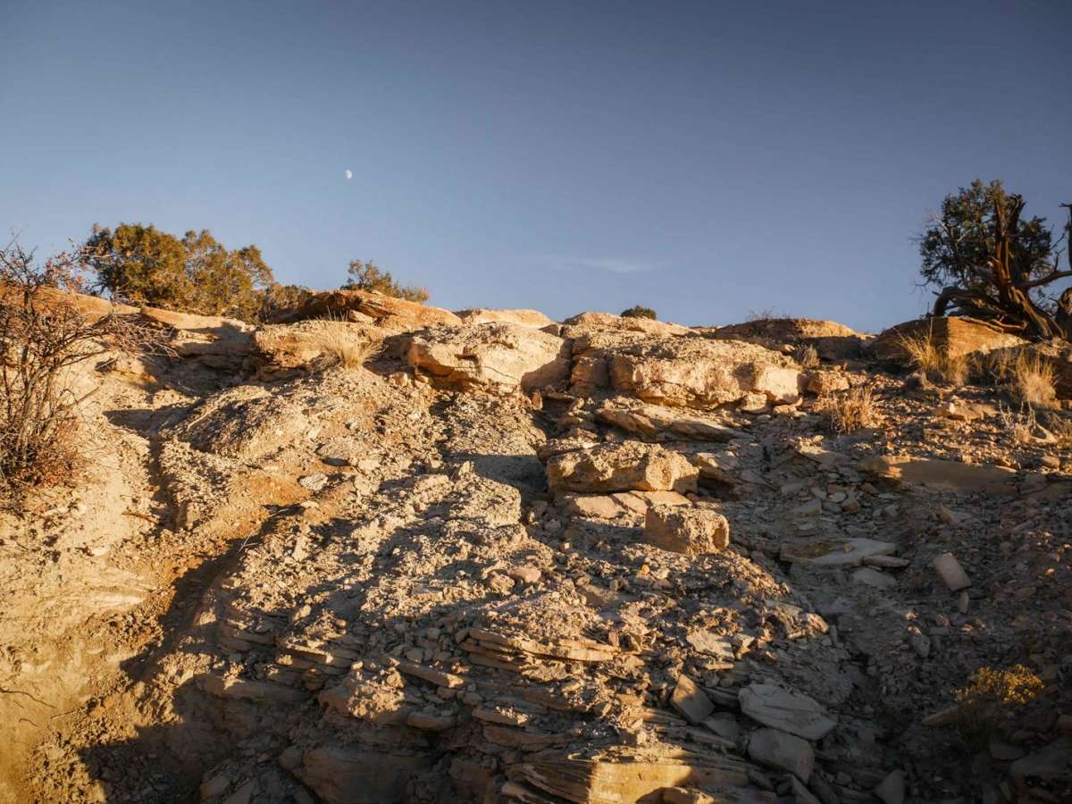
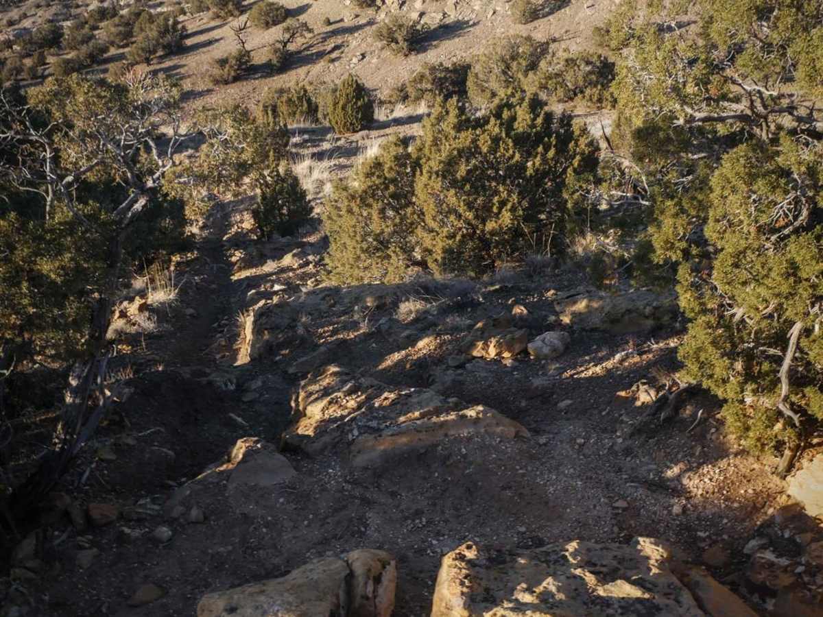
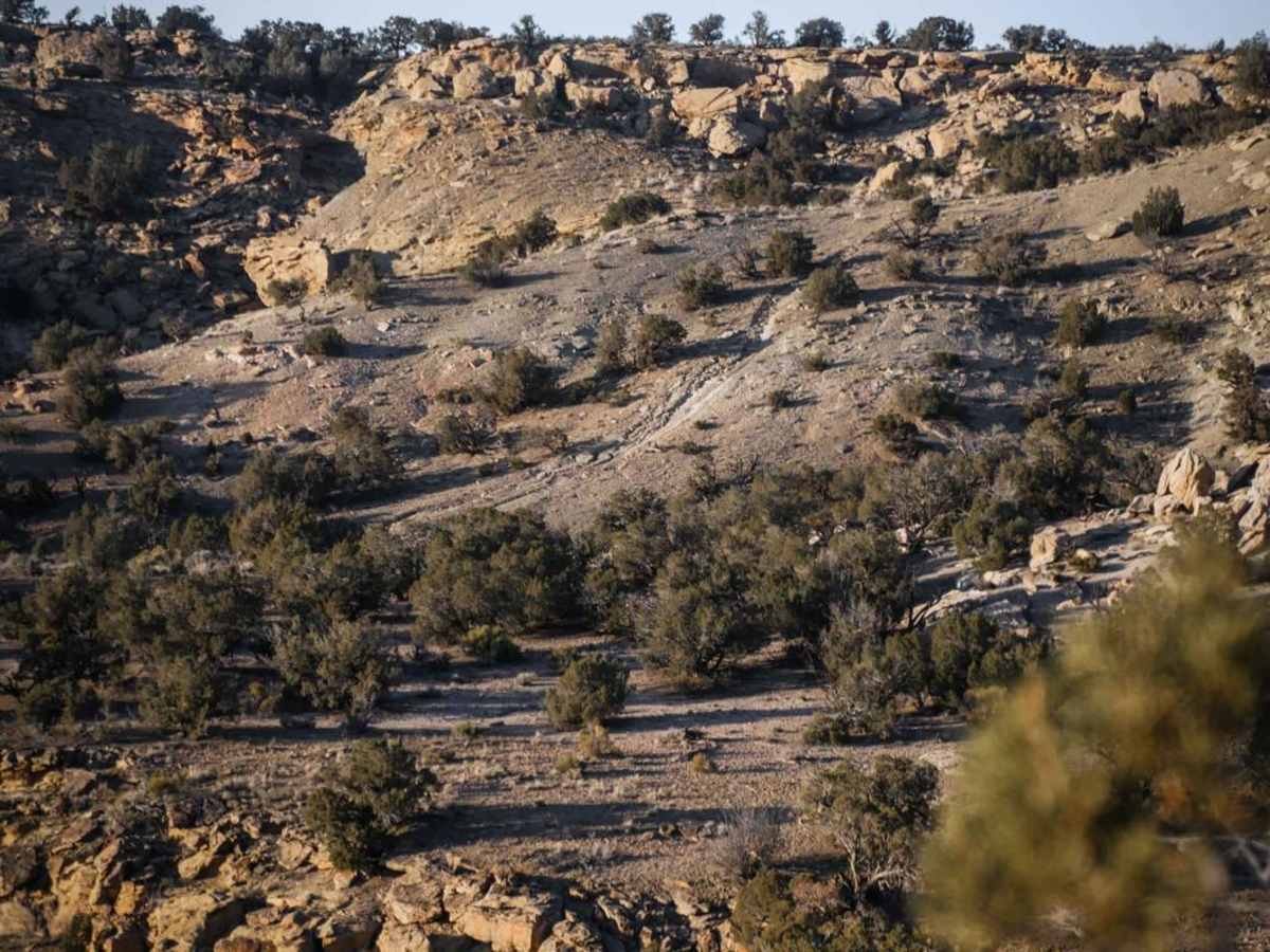
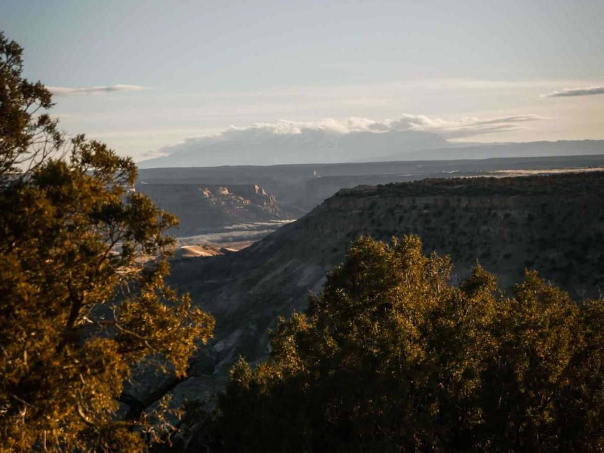
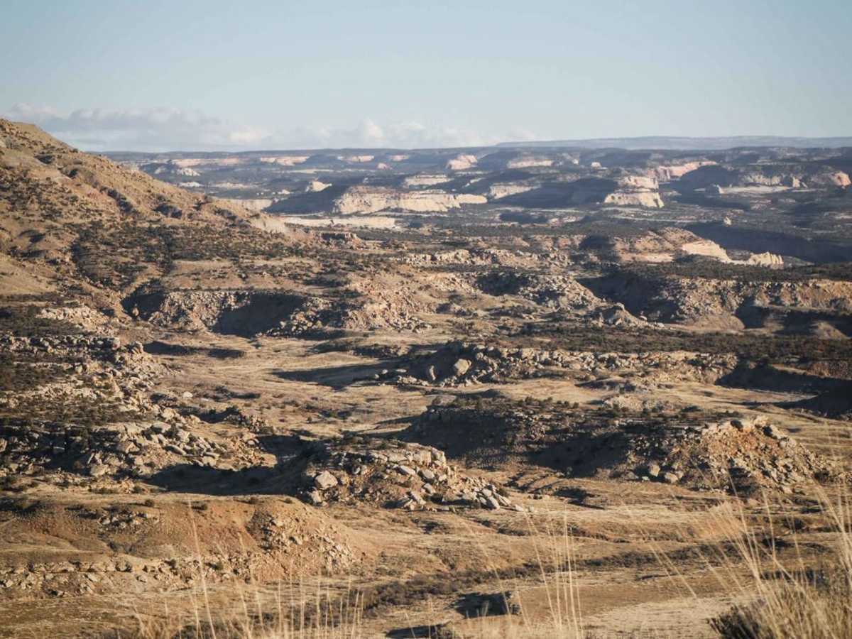
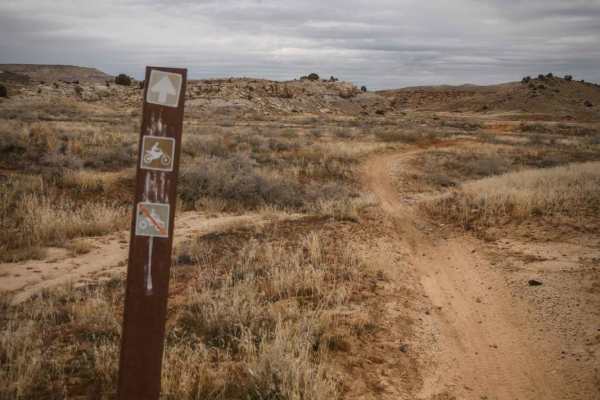
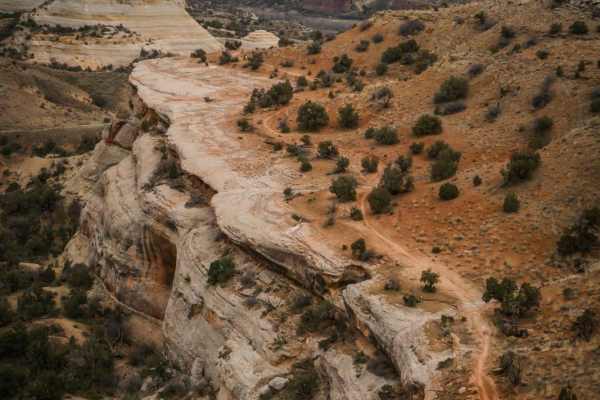
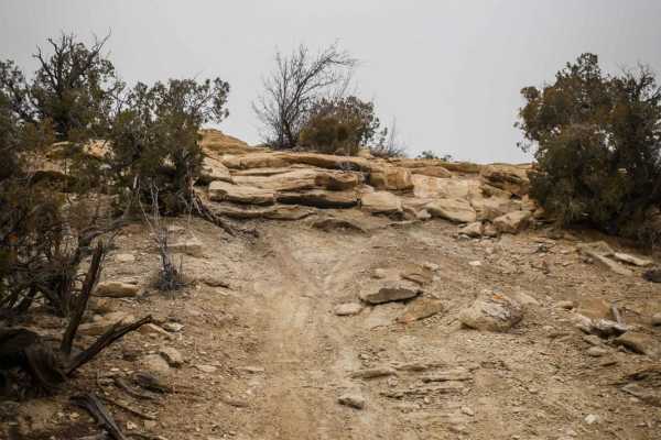
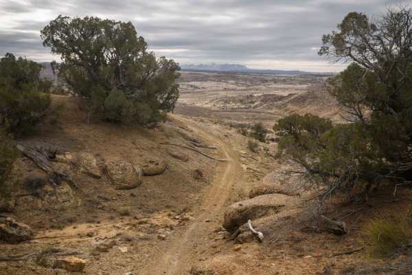
Overlook Trail Part 2 is an exhilarating, moderately challenging single-track trail designed for experienced dirt bike riders seeking spectacular canyon views and technical terrain. Spanning approximately 2.4 miles, this southern section of the trail is notably more difficult than its northern counterpart, featuring a rocky surface punctuated by challenging rock ledges, loose climbs, and steep descents. The route departs from the high canyon rim, dipping down into a rugged valley before demanding a tricky, loose ascent back up to the neighboring rim. Riders are rewarded throughout with sweeping vistas of vibrant red canyons and winding river valleys below.
With elevations ranging from 4,749 to 5,039 feet, the trail includes a total elevation gain of 222 feet and a loss of 468 feet, offering a dynamic and engaging ride. The technical difficulty is rated a 6 out of 10, primarily due to the steep, loose climbs and descents that require precise throttle control and line choice. To access the trail, visitors can head south from the Westwater exit on Interstate 70 to May Flat Road, where several Bureau of Land Management (BLM) primitive campsites and staging areas are located. For an extended ride, this trail can be seamlessly combined with Overlook Trail Part 1, or connected to the adjacent Arch Loop and Westwater Mesa Trail single-track networks.