Trail Overview
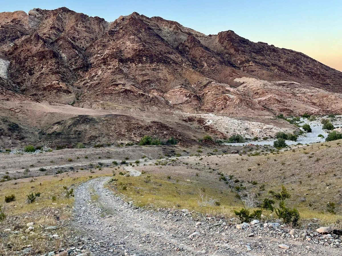
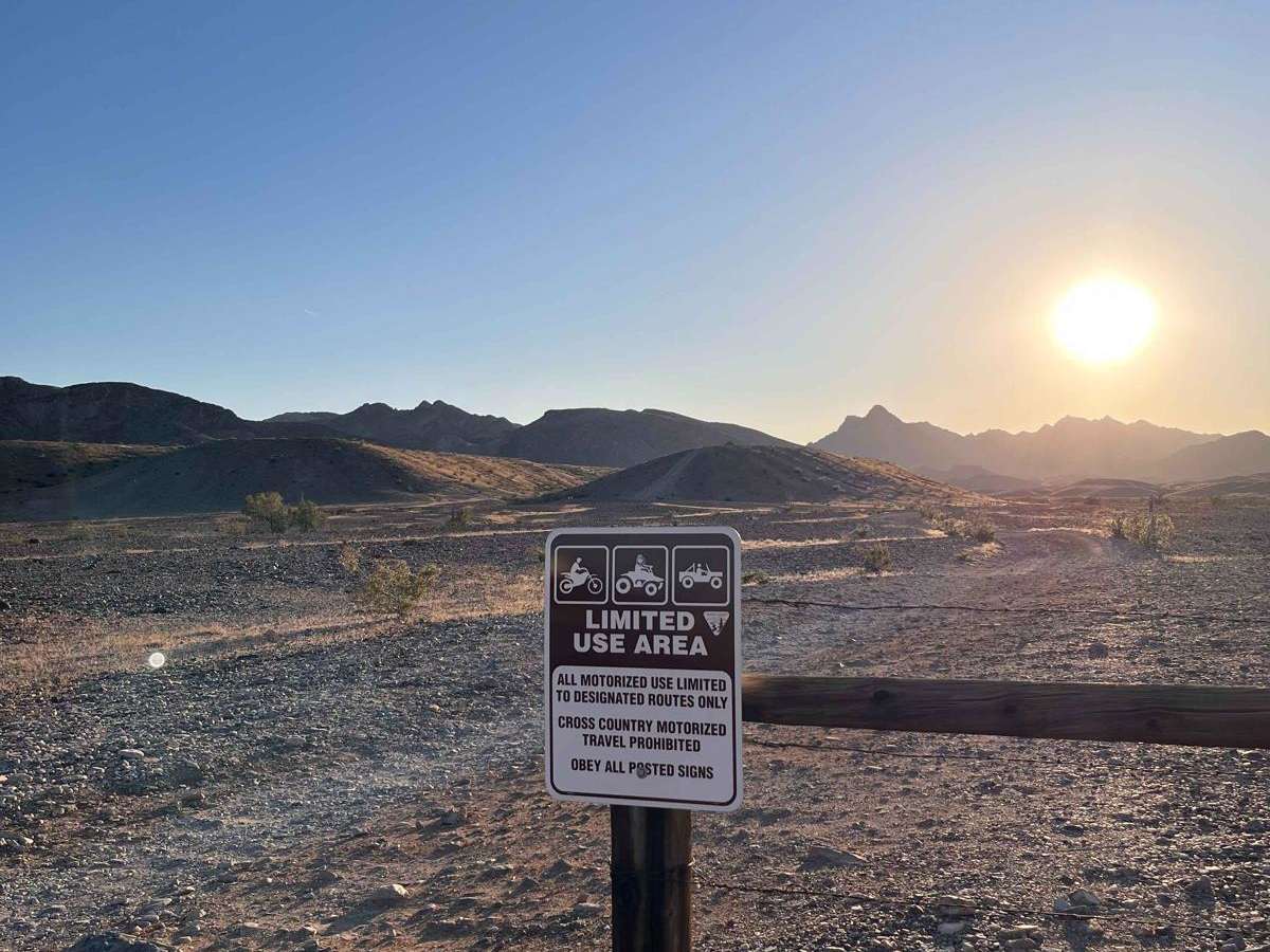
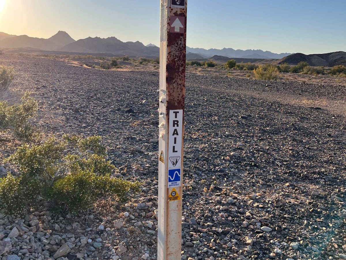
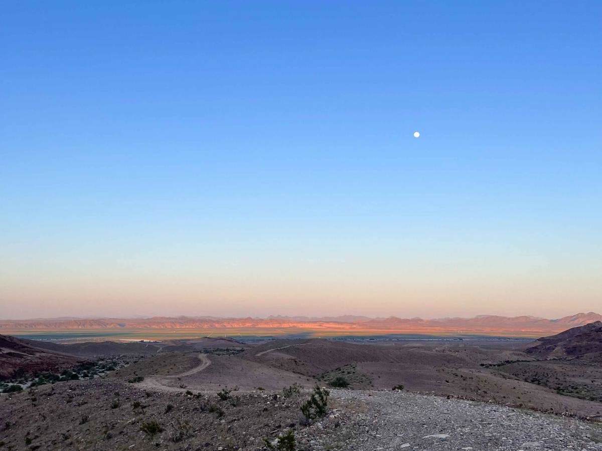
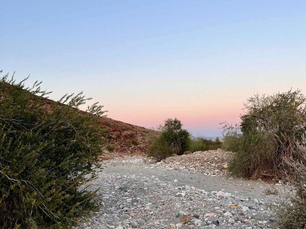
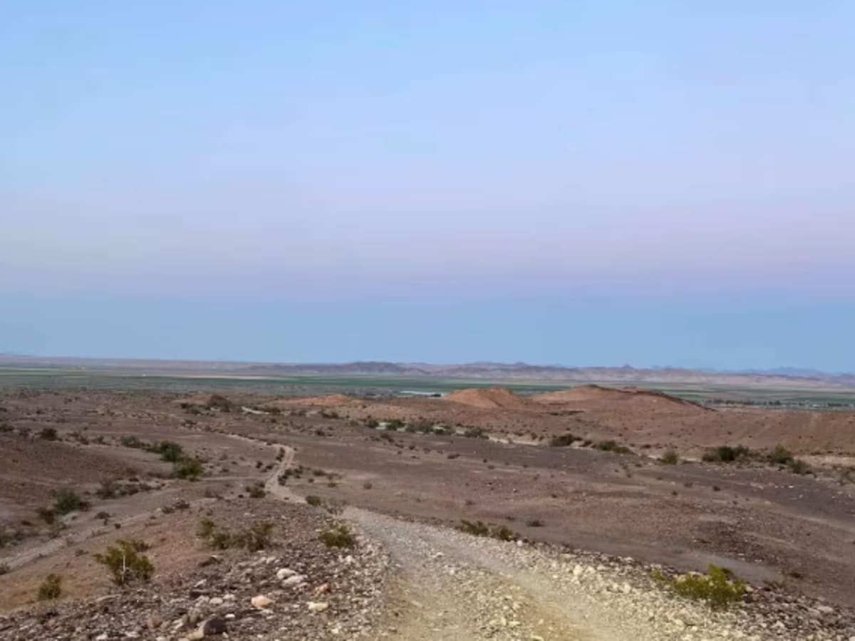
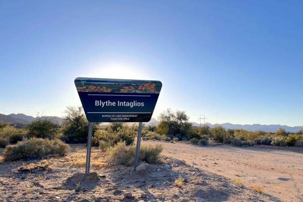
Expect beautiful views of the Colorado River and Palo Verde Valley on this ~6-mile trail that starts at the end of the Blythe Intaglios trail. This is a 'Limited Use Area' with no cross-country motorized travel. Stay on designated trails only--there are many small offshoots. Multiple areas are suitable for staging directly off SR-95, including at the Blythe Intaglios sign. There are many hiking trails near the intaglios themselves. Most of the trail is loose rock or gravel with some small washouts. The trail will be more difficult during or after heavy rain;this area is known for flash floods, so check the weather before attempting. There are no notable obstacles but moderate elevation gain. There's a large wash crossing ~2.5 miles in once the trail turns back west;watch for loose rock in this area and pay close attention to trail markers, as tracks disappear. Some turns are tight, but a truck can make it with careful driving. Expect mild pinstriping. Proceed with caution during the hot months as the entire trail is exposed with no shade. Cell service (AT&T and Mint) is available on the eastern side of the trail;service is lost closer to the Big Maria Mountains. There are no bathrooms and no fees to enter. A Colorado Rider Indian Tribe (CRIT) permit is not required as this entire route is on BLM land, not the reservation.
Difficulty
Most of the trail is loose rock or gravel with some small washouts. There's moderate elevation gain. The trail will be more difficult during or after heavy rain; this area is known for flash floods, so check the weather before attempting. There's a large wash crossing ~2.5 miles in once the trail turns back west; watch for loose rock in this area and pay close attention to trail markers, as tracks disappear. Some turns are tight and just about one car-length wide, but a truck can make it with careful driving. Expect mild pinstriping. There are no notable obstacles.
History
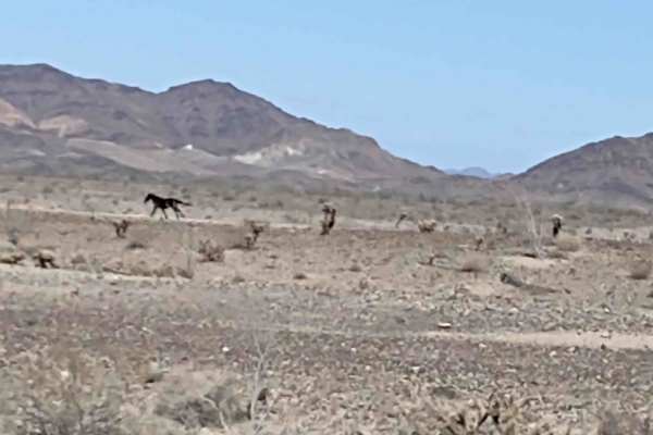
This trail follows the boundary of the Big Maria Mountains Wilderness, which is 43,000+ acres of wild desert.