Trail Overview
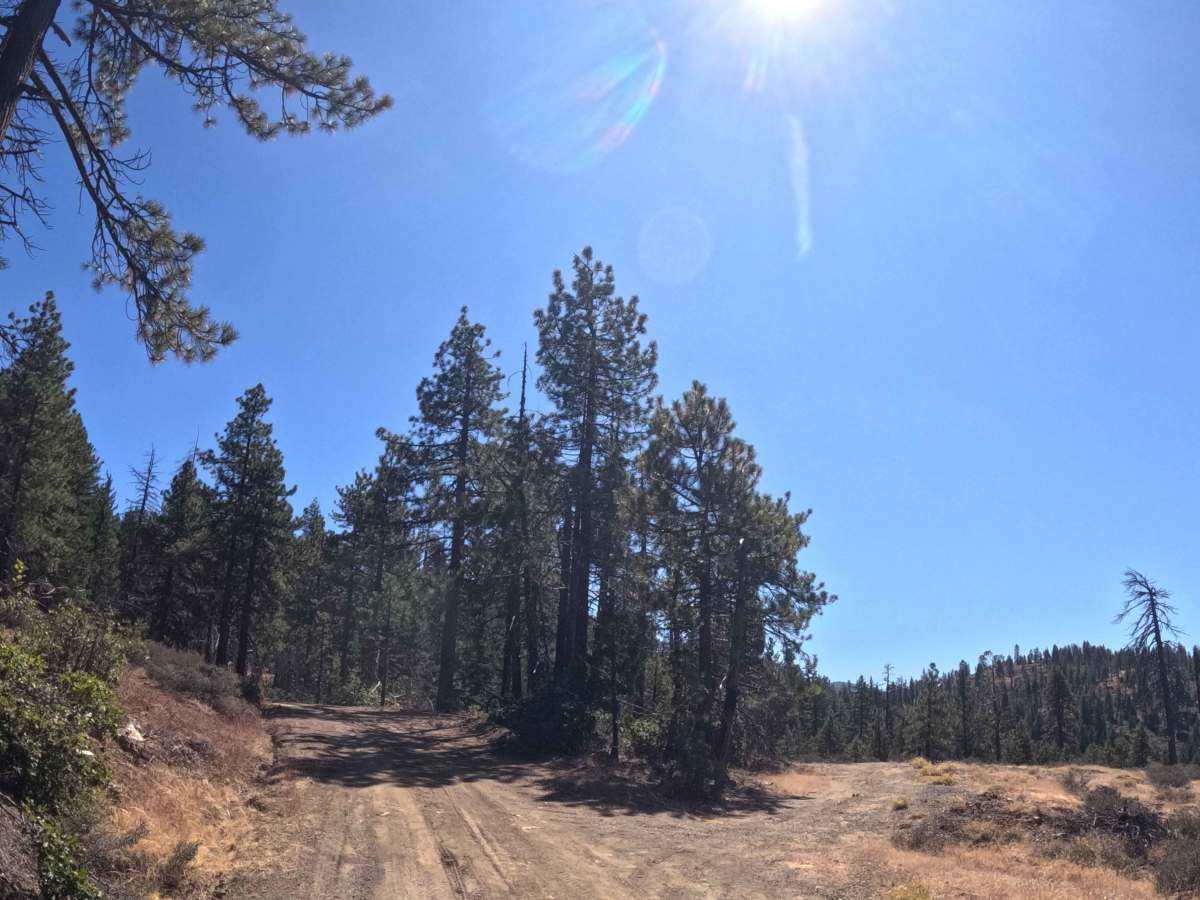
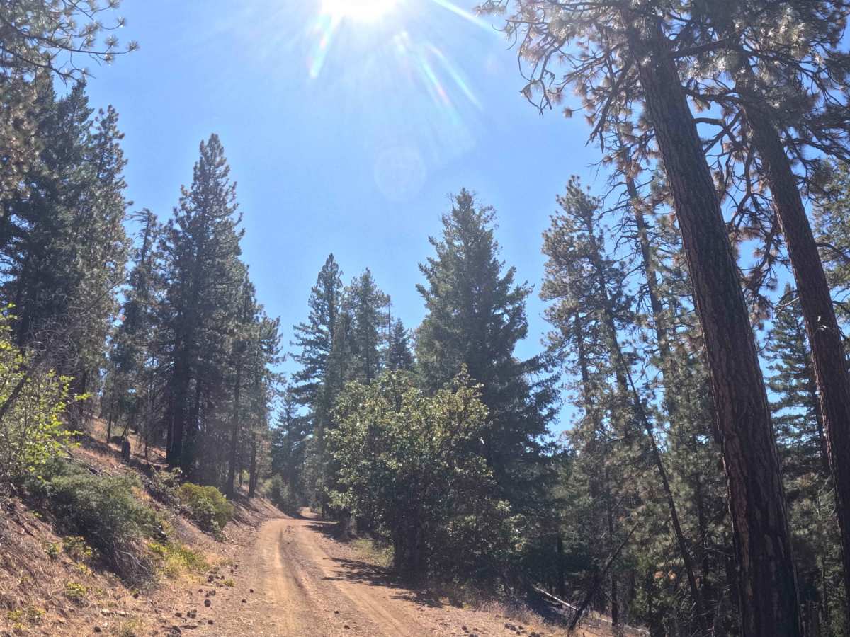
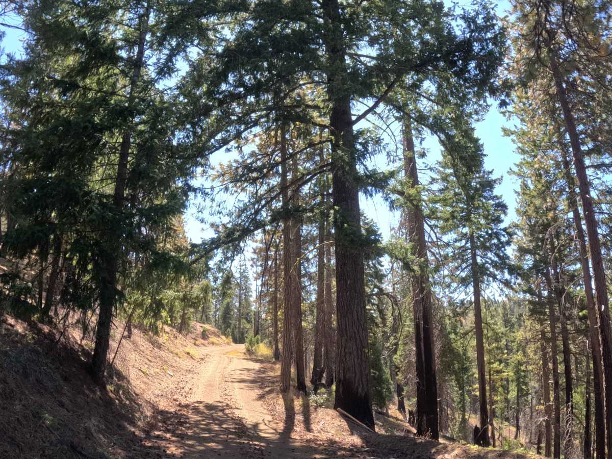
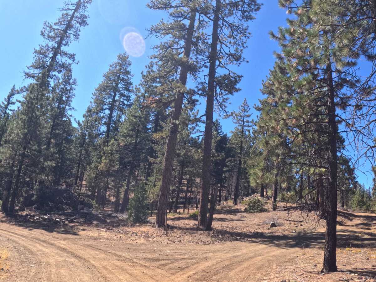
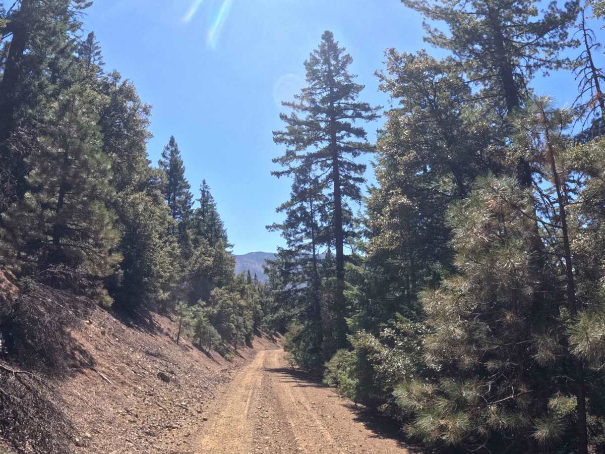
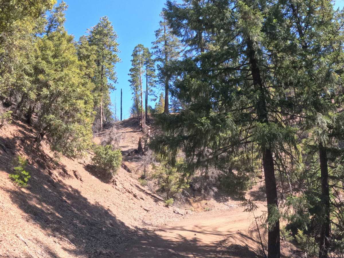
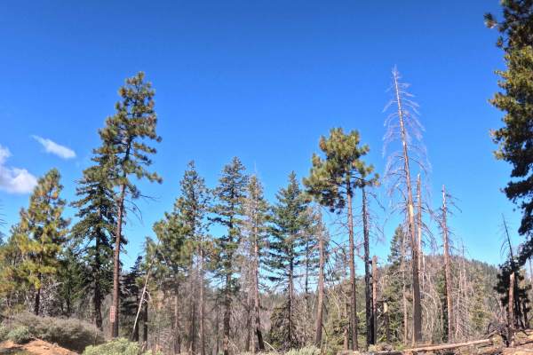
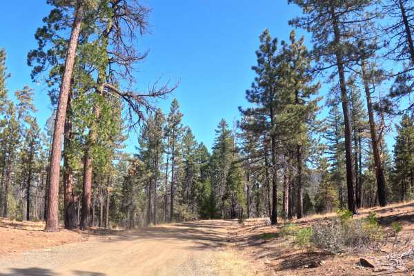
A heavily trafficked, point-to-point transit corridor, White Rock (FS 28N19) weaves north to south, bridging the gap between paved Highway 33 and the FS 28N10 junction. The route meanders through a pristine, deeply shaded sector of the Trinity National Forest that fortunately escaped recent severe wildfire devastation, preserving a magnificent canopy of towering pines and healthy evergreens. Backcountry explorers, sightseers, and campers frequently utilize this essential passage to access the pristine waters of McCullah Spring—the scenic headwaters of Dark Canyon Creek—as well as to reach the commanding 5,600-foot heights of nearby Pony Buck Peak. Because this thoroughfare links major paved arteries to popular alpine destinations, drivers should remain highly alert for oncoming recreational traffic navigating the narrow woodland space. The driving surface consists of a single-track gravel path featuring a gentle five-percent overall grade and occasional sweeping shelf-road segments. Delivering a smooth, deeply forested drive, this picturesque connector provides a beautiful and highly accessible journey deep into the unspoiled mountain landscape.
Difficulty
This single-track gravel connector provides a consistently smooth, predictable driving surface free of technical off-road hurdles. Deep mud trenches, jagged boulder fields, and challenging washouts are entirely absent from the well-maintained track. Furthermore, the wide trail corridor ensures that drivers will not experience any encroaching brush or annoying foliage contact along the journey. The primary driving considerations involve managing the gentle five-percent elevation grade and maintaining situational awareness along the occasional exposed shelf-road sections. Since the path is primarily one lane wide, operators must carefully utilize available shoulders to safely pass oncoming traffic. With no severe obstacles to negotiate, any standard passenger vehicle boasting basic factory ground clearance can comfortably and safely complete this relaxing forest drive under dry, seasonal conditions.

 Offroad