Trail Overview
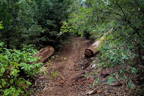
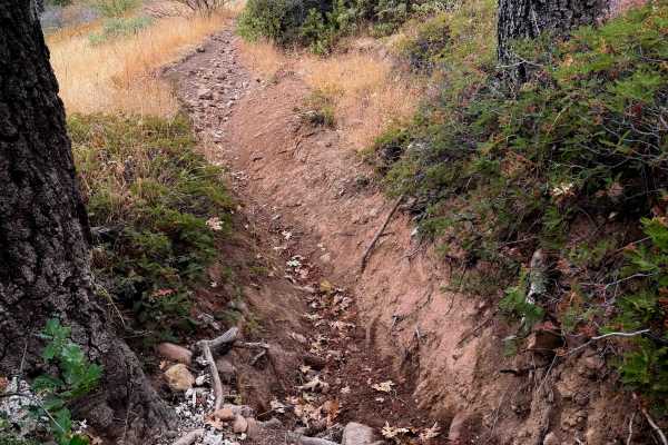
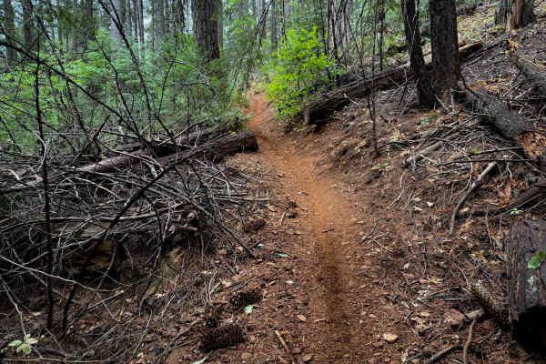
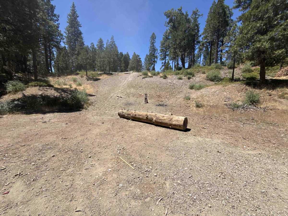
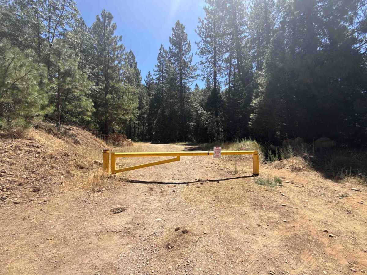
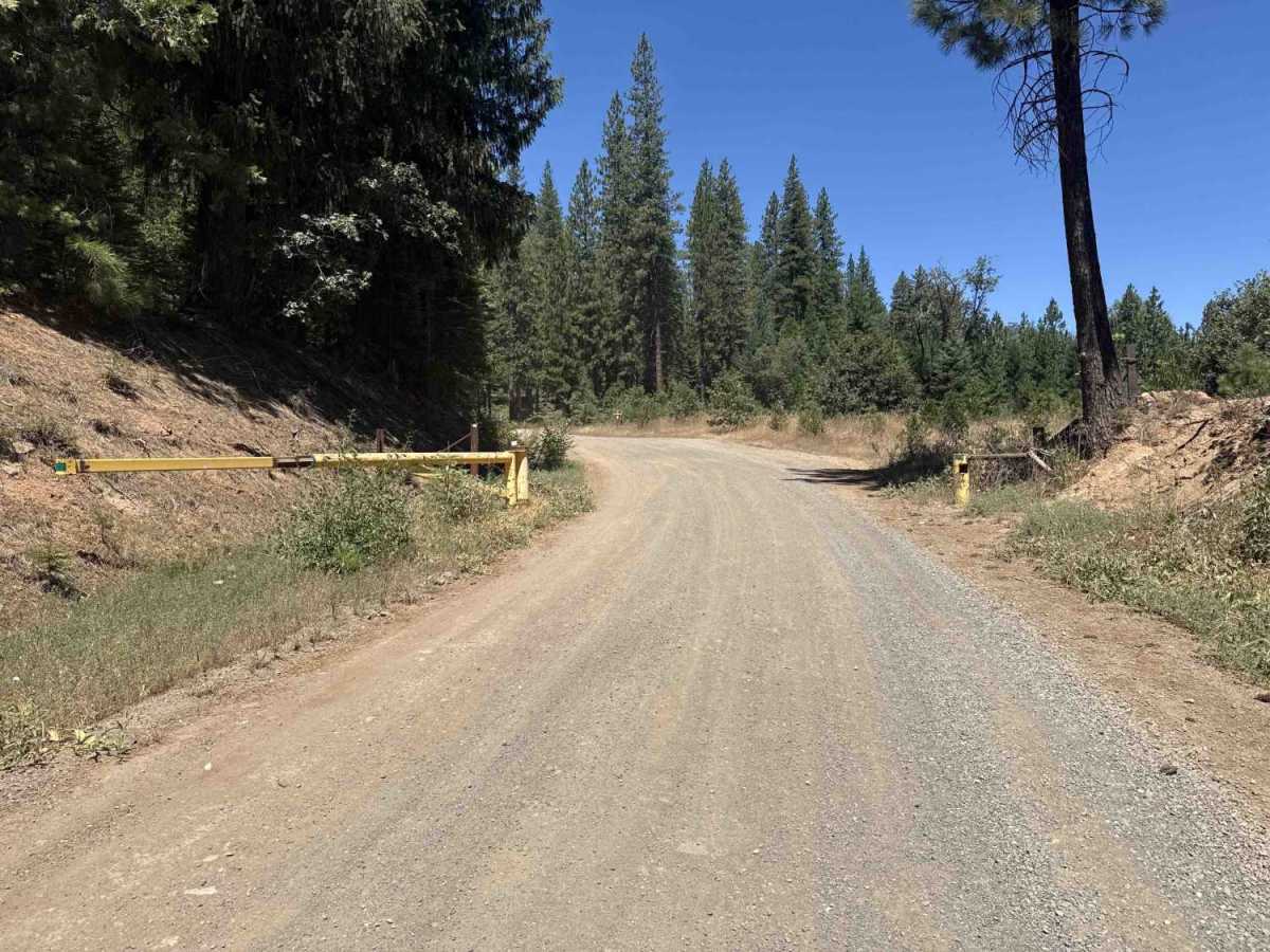
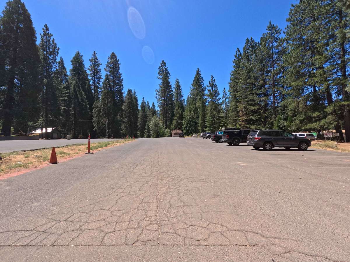
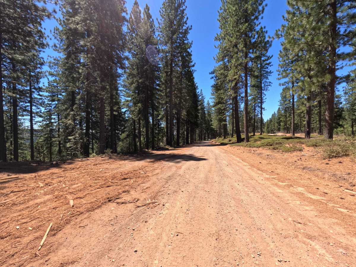
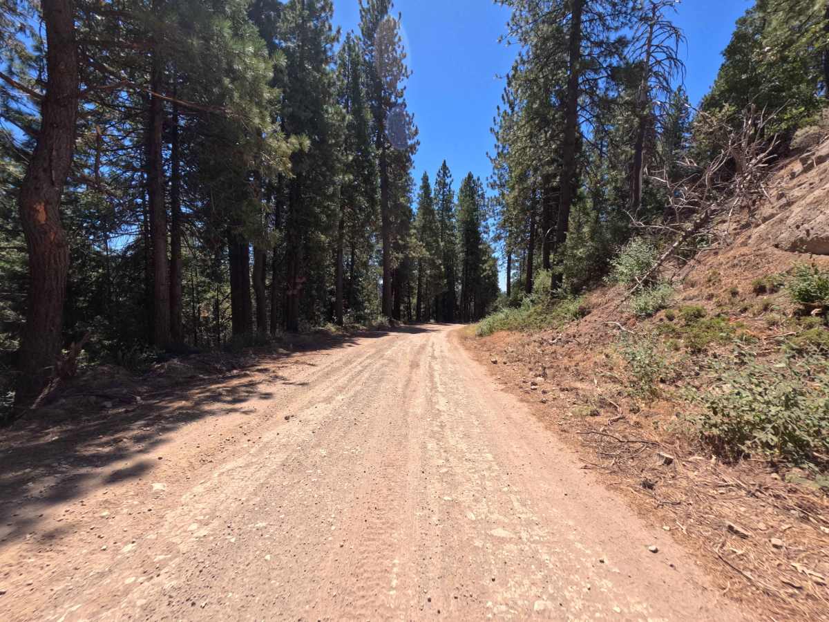
Connecting Summit Level Road to the White Pines Lake recreation basin, Forest Service Road 7N08 serves as a primary forest thoroughfare within the Stanislaus National Forest. The corridor winds through a mixed-conifer woodland defined by towering ponderosa pines, fragrant incense cedars, and sunny timber clearings. Constructed as a wide, well-maintained dirt and crushed gravel roadway, this route is designated exclusively for highway-legal vehicles. Breaks along the eastern treeline treat travelers to expansive, picturesque vistas stretching toward neighboring mountain ridgelines. The road sees steady seasonal traffic from outdoor enthusiasts accessing water recreation at White Pines Lake—including paddleboarding, kayaking, swimming, and lakeside picnicking—as well as visitors reaching an established target shooting area and connecting forest tracks.
Difficulty
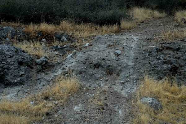
This wide two-lane dirt and fine gravel roadway presents a completely gentle and non-technical drive. The surface remains consistently smooth and well-graded throughout, free of deep ruts, exposed boulders, or steep shelf sections. Standard clearance vehicles can navigate the corridor comfortably at a steady, controlled pace while minding minor dust, light washboard ripples, and oncoming recreational traffic near the lake area.

 Offroad