Trail Overview
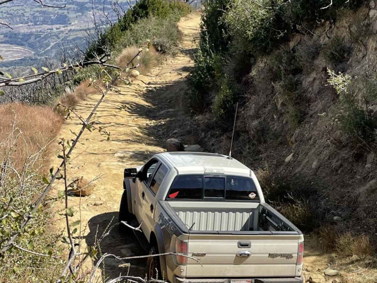
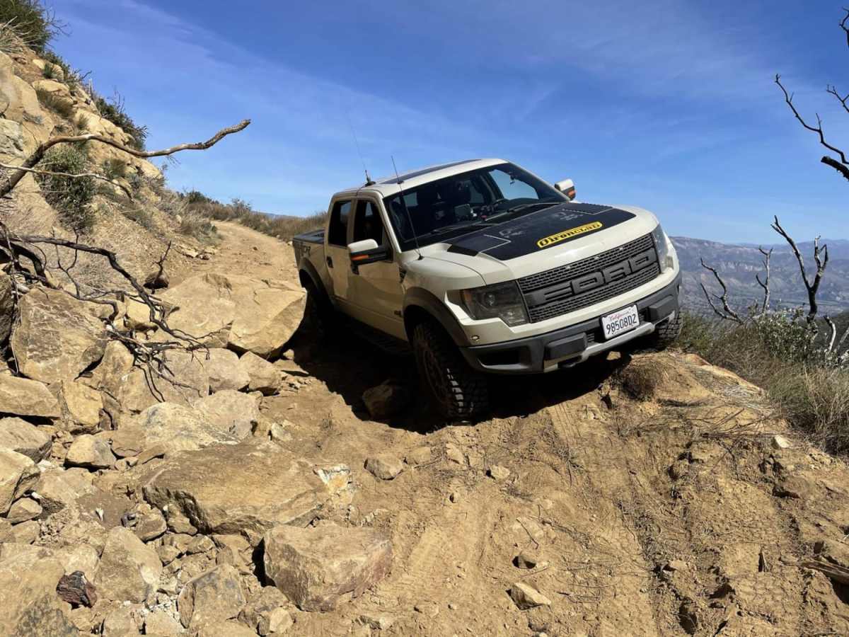
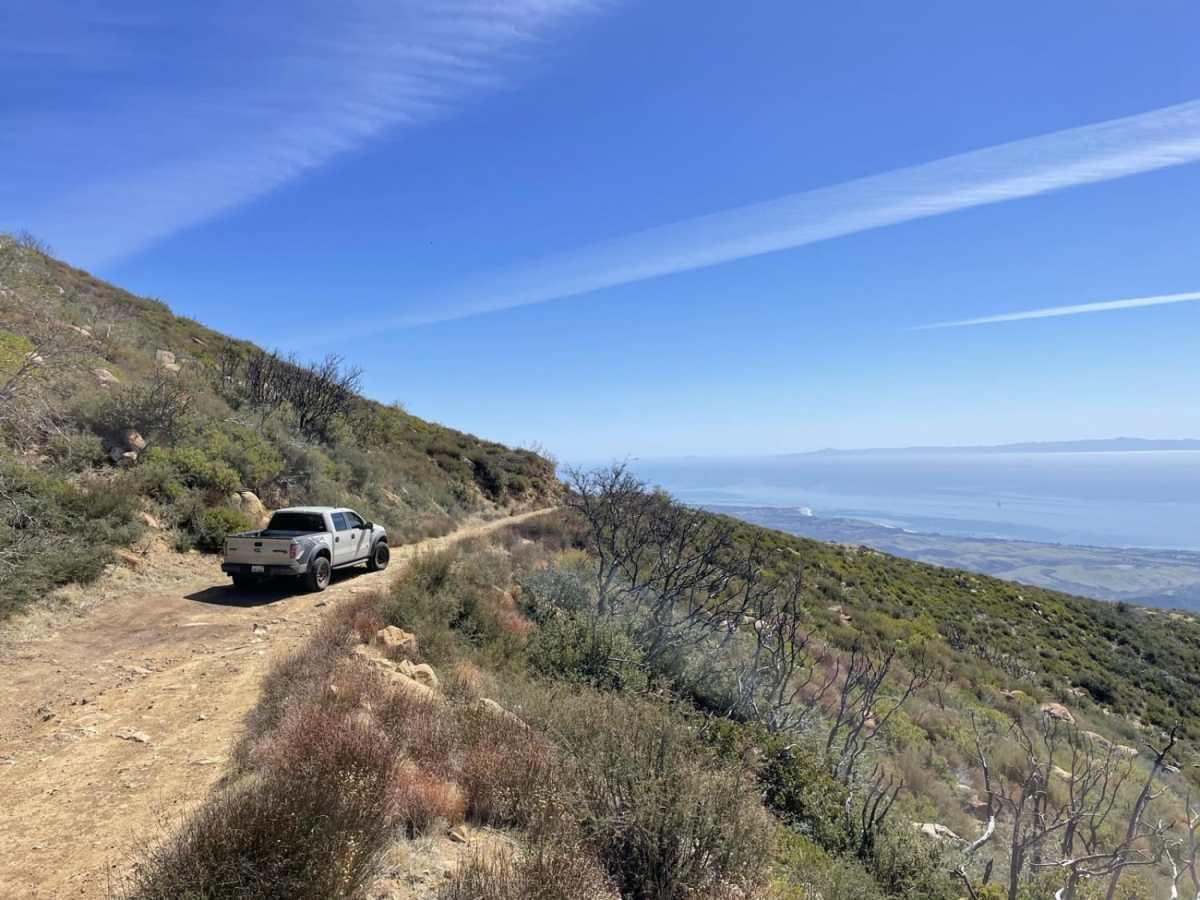
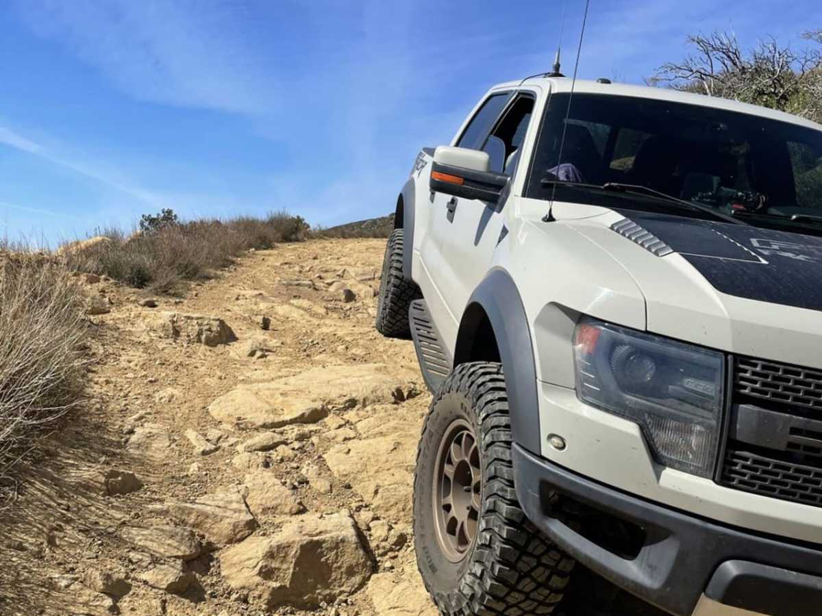
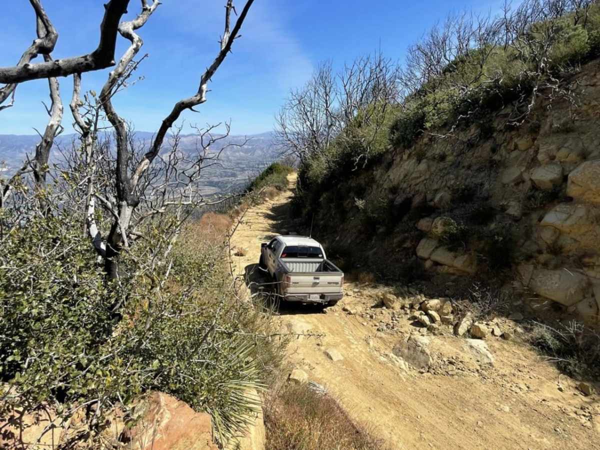
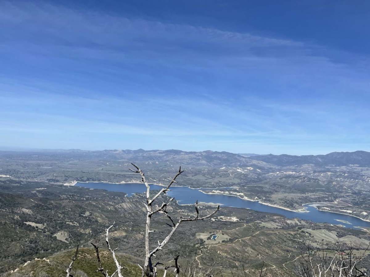
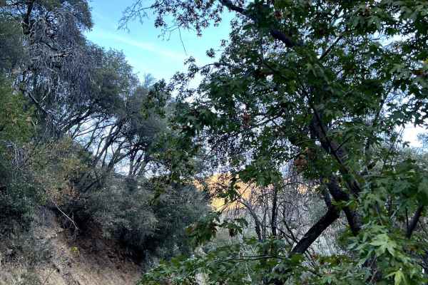
West Camino Cielo is a scenic, moderately challenging ridgeline trail traversing the Santa Ynez Mountain Range that offers breathtaking, high-elevation vistas of the Channel Islands, Goleta, and the Santa Ynez Valley. Spanning approximately 9.7 miles with a peak elevation of 4,096 feet, this route is ideal for intermediate offroaders looking for a mix of easy cruising and technical obstacles. The trail winds along steep mountain ridges with stunning panoramic views of Cachuma Lake. The eastern portion, accessed from Highway 154, is relatively mild and manageable for standard four-wheel-drive SUVs. However, after the five-mile mark, the terrain changes dramatically into a rugged, unpaved path with boulders, large rocks, and deep ruts requiring high clearance and careful tire placement.
West Camino Cielo features a minimum elevation of about 2,454 feet and climbs with an elevation gain of nearly 1,974 feet. Due to its position along narrow, precipitous ridges, turning around on the western half of the trail is extremely difficult with very few pullouts, meaning drivers of full-size rigs, SxSs, and high-clearance four-wheel-drive vehicles must commit to the route once past the midway point. This trail is seasonal, with forest service closures common after heavy rains to prevent erosion and ensure driver safety. An old campsite around mile five serves as an excellent spot to park, seek shade, and enjoy lunch away from the technical sections. The route eventually exits on Refugio Road to the west, completing an unforgettable traverse high above the Pacific coastline.
Difficulty
Accessing this trail from the East (Hwy 154) will offer an easy trail that can be navigated by SUVs and some 2WD vehicles. After mile marker five, the trail changes drastically, and depending on the maintenance of the trail, could be impassible. Turning around on the west half of this trail is very difficult with few pullouts.
History
West Camino Cielo is primarily used by forest service communication contractors to access the numerous antenna dishes located along the ridgeline, as well as by county fire crews for maintaining firebreaks. An old campsite situated near the five-mile mark provides a shaded retreat and a historical point of interest.