Trail Overview
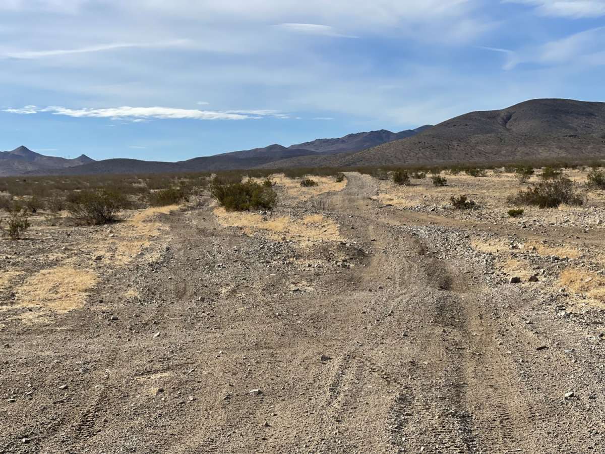
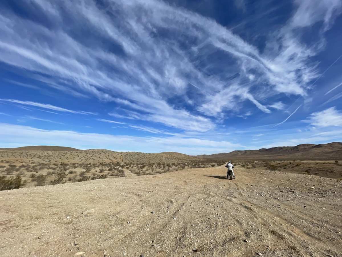
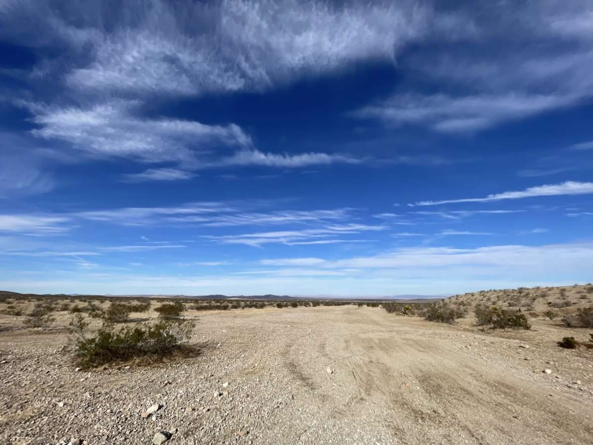
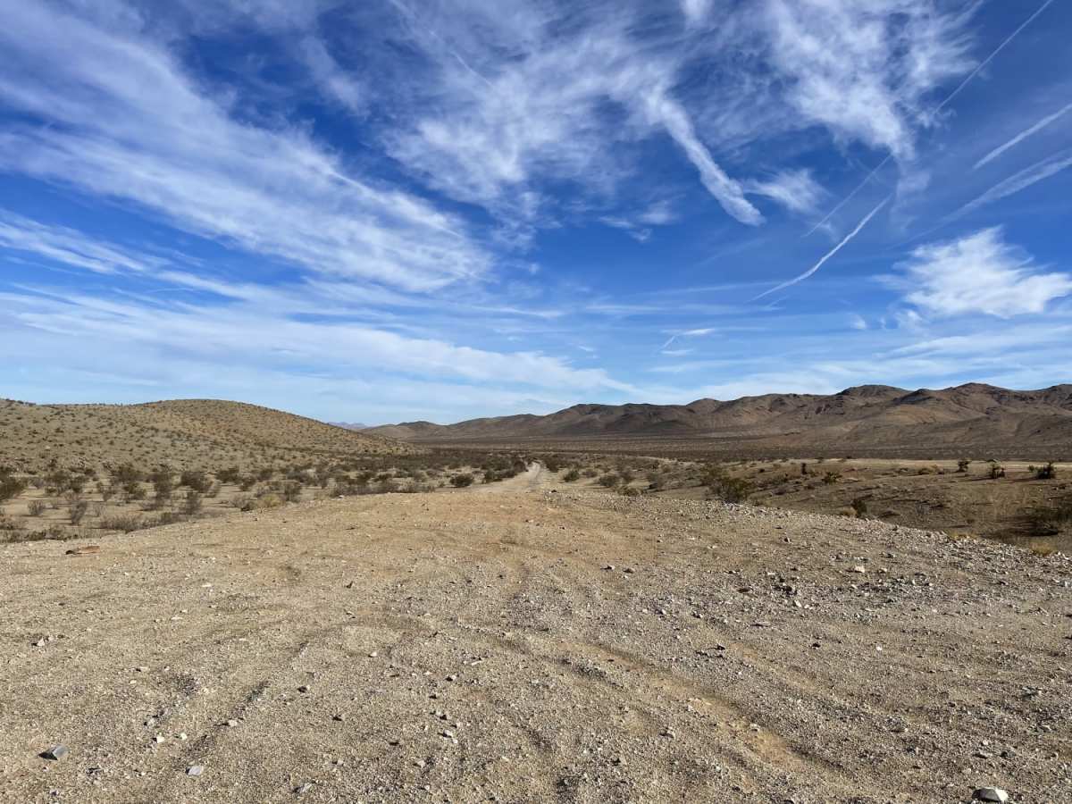
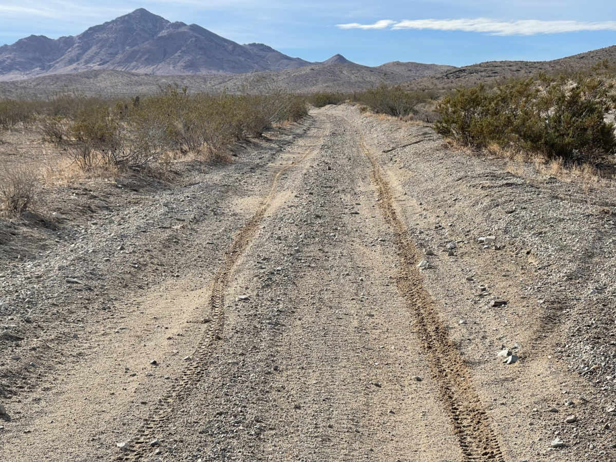
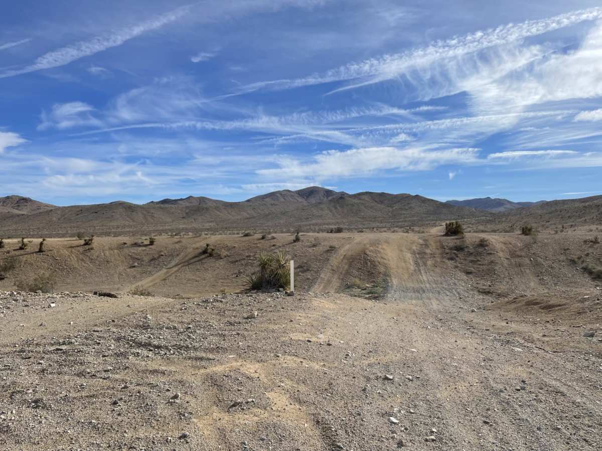
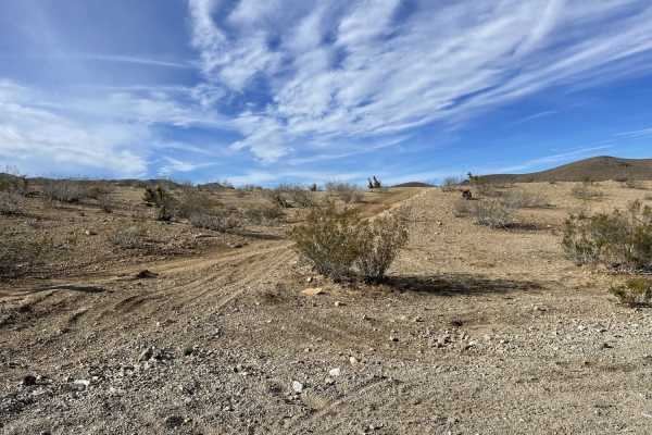
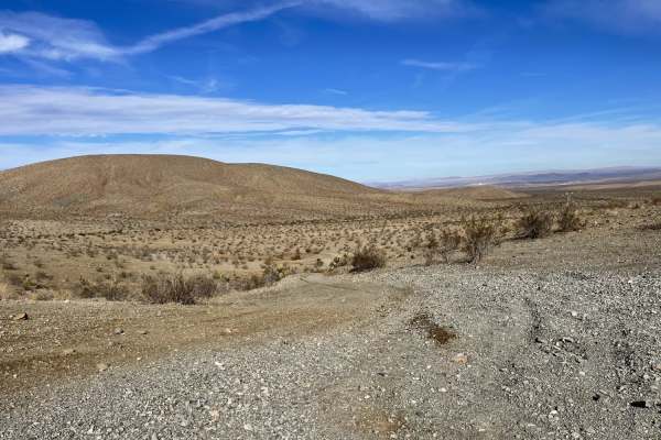
The Main North to South Access Wash is an easy 2.3-mile sandy connector route within the Stoddard Valley OHV Recreation Area, providing a direct link between the central valley and the northern open riding section. Perfect for beginner and intermediate riders, this wide wash easily accommodates oncoming traffic and features coarse sand that makes for a relatively straightforward drive. As a popular thoroughfare in this 53,000-acre open off-highway vehicle area, the track can become heavily whooped out and bermed up where other popular trails crisscross the wash. Offroaders in four-wheel-drive vehicles, SxSs, ATVs, and dual-sport motorcycles can easily navigate this path while enjoying expansive views of the surrounding desert hills and keeping an eye out for local wildlife like coyotes, desert foxes, and birds of prey.
With a technical rating of 3, the trail sees a gentle descent of approximately 311 feet, dropping from a maximum elevation of 3,143 feet down to 2,831 feet. While the route is generally beginner-friendly, visitors must remain cautious of active deep mine shafts scattered throughout the surrounding recreation area and keep watch for the protected desert tortoise. Cellular coverage is sparse but typically provides about two bars of LTE service along the route. Given the arid Mojave Desert climate, summer temperatures regularly exceed 100 degrees Fahrenheit, and heavy rains can trigger sudden, dangerous flash floods along the sandy wash floor. Out-of-state riders should ensure they possess a valid California non-resident permit, while residents must display a current green or red sticker on their vehicles.
History
Located in the Mojave Desert of Southern California, Stoddard Valley OHV Recreation Area offers a diverse landscape for off-highway vehicle recreation. It is characterized by steep rocky mountains, rolling hills, open valleys, and winding sandy washes.Most area visitors ride motorcycles or ATV/UTVs or tour the area in four-wheel-drive vehicles.The eastern portions of the area and the Stoddard Mountains are considered the most challenging places in the park to ride. The broad expanse of the central valley and southern portions are for the novice and are used to improve the skill of the rider. There are areas to the west of the Slash X entrance that become a challenge for the intermediate rider. This 53,000-acre open riding area will offer a challenge to every degree of expertise and type of vehicle from the motocross racers to the beginning Quad rider. Four-wheel drive clubs offer events in this area because it has a diverse landscape and a riding experience for everyone. Know Before You GoThe desert tortoise, a state and federally listed threatened species is found within the riding area.DEEP MINE SHAFTS EXIST IN THE RIDING AREA! PLEASE AVOID THESE AREAS AND STAY AWAY FROM MINE SHAFTS!Out of State Vehicles: OHV users must comply with all California rules and regulations governing Off-Highway vehicles. Please see below for a partial list of key regulations and visit the California OHV Page for more information.Weather: The area is hot and arid, with summer high temperatures ranging from 100 to 120 degrees F. Winter low temperatures may drop below freezing with highs in the 70's. Typical of the desert, winds are frequent and strong, and humidity is generally low.Off-Highway Vehicle UseThe following partial list of regulations and tips should help OHV users and other recreationists appreciate and enjoy the use of these public lands.OHVs owned by California residents must be registered with the California DMV and must display a valid "Green Sticker" or "Red Sticker".If you are NOT a resident of California and your OHV is not registered in your home state, you are required to have a NON-RESIDENT Green Sticker OHV permit.On the ground, motorized vehicles should yield to non-motorized craft and aircraft.OHVs must be equipped with an approved muffler, brakes, and spark arrester.It is illegal for anyone who is under the influence of alcohol or drugs to operate an OHV.It is illegal to bring, dispose of, or possess any glass container, empty or not, within the open area.It is illegal to bring, dispose of, or possess any firewood containing nails, screws or other metal hardware within the open area.NO PALLETS!It is illegal to possess and/or discharge fireworks.Persons on an ATV under 14 years of age must be supervised by a parent or guardian.All persons regardless of age, who operate an ATV on Public Lands must wear an approved safety helmet; Carrying passengers is prohibited on ATVs; Remember--Safety First, Every Ride, Every Time!
Access Description
California residents must register their off-highway vehicles with the DMV and display a valid Green or Red Sticker. Out-of-state visitors whose vehicles are not registered in their home state must obtain a California Non-Resident OHV permit. Spark arrestors and approved mufflers are required for all motorized vehicles. Be aware that deep, unmarked mine shafts exist throughout the recreation area, so offroaders must stay on designated paths. The desert tortoise is a federally protected threatened species in this area; do not disturb them or their habitat. Summer temperatures regularly exceed 100°F, so carrying extra water is highly recommended. Heavy rains can cause sudden flooding in the sandy washes.