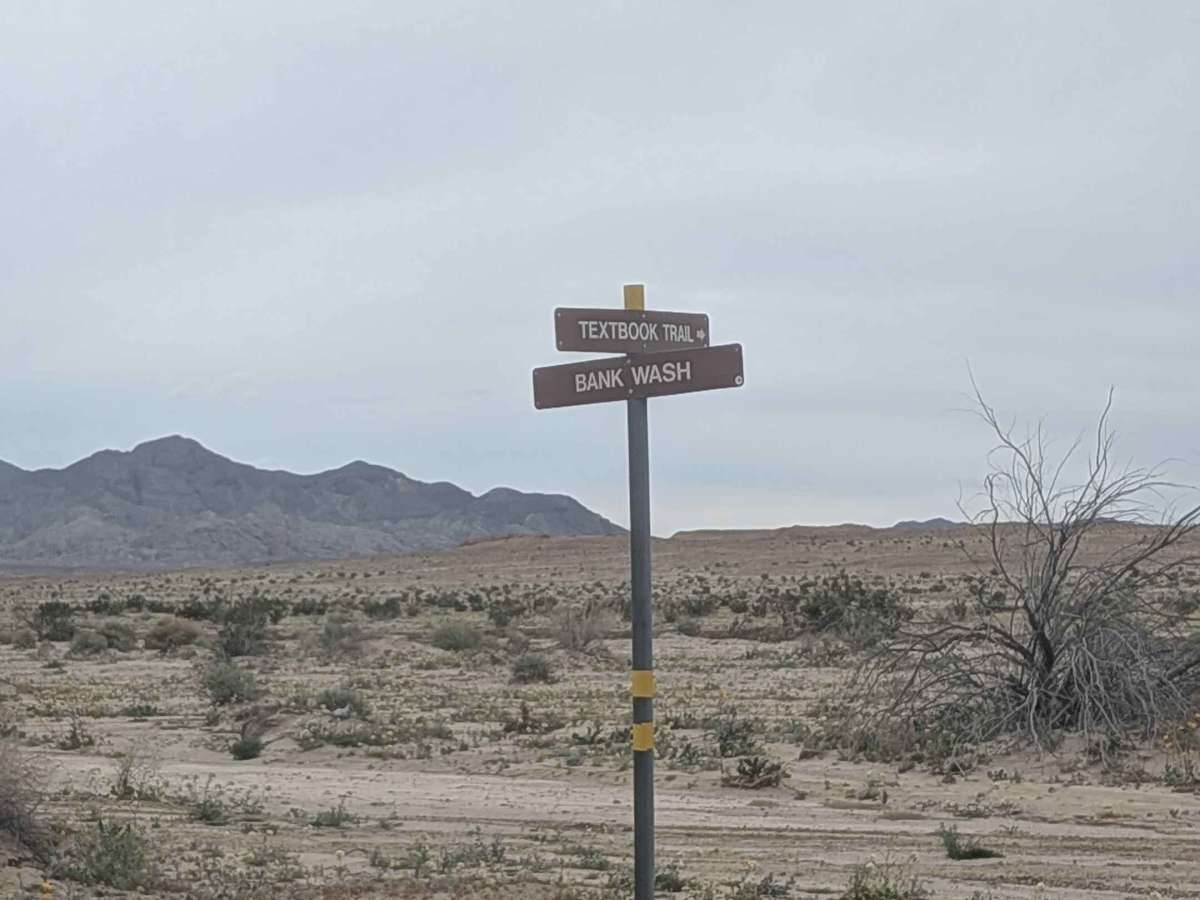
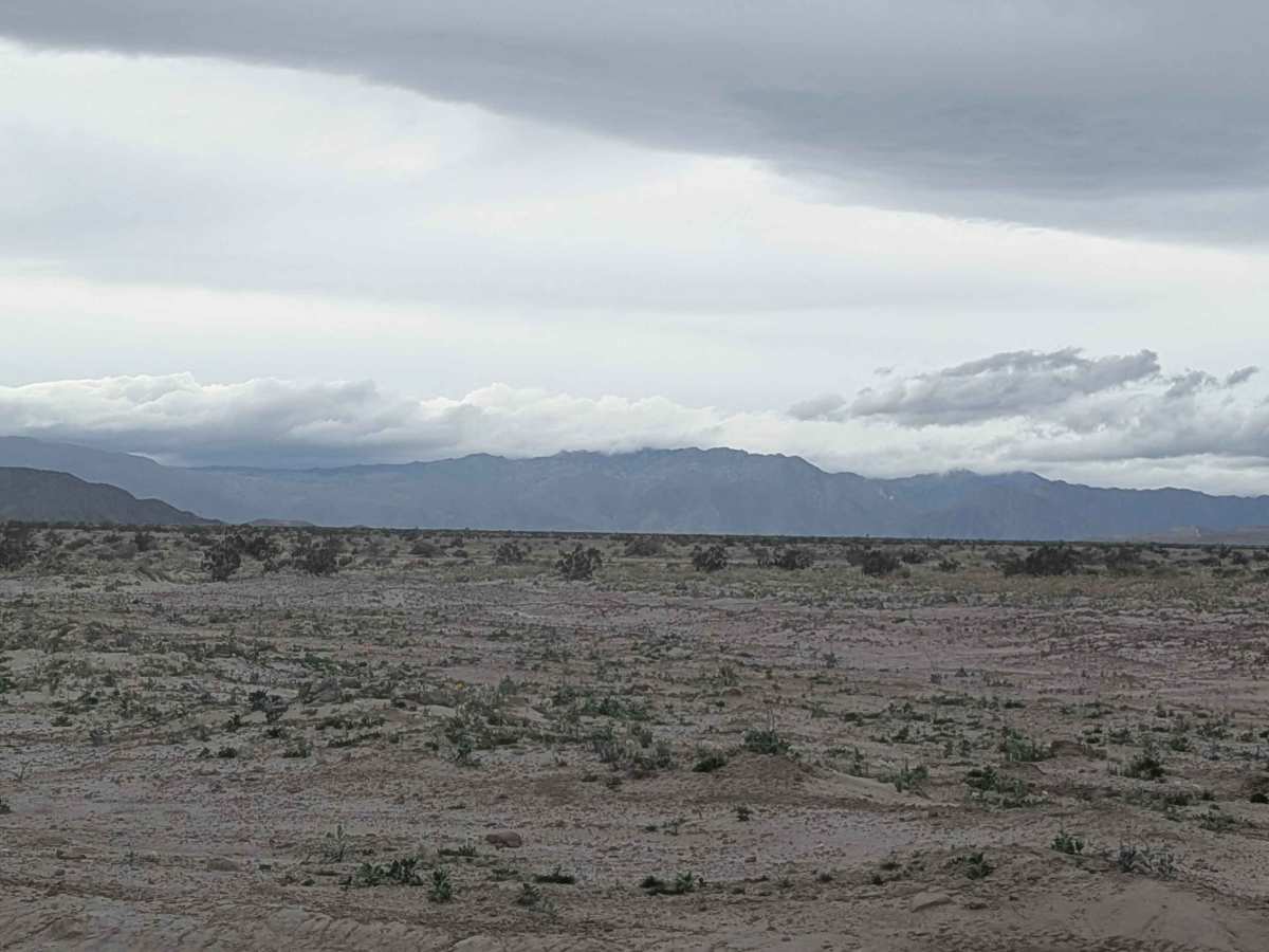
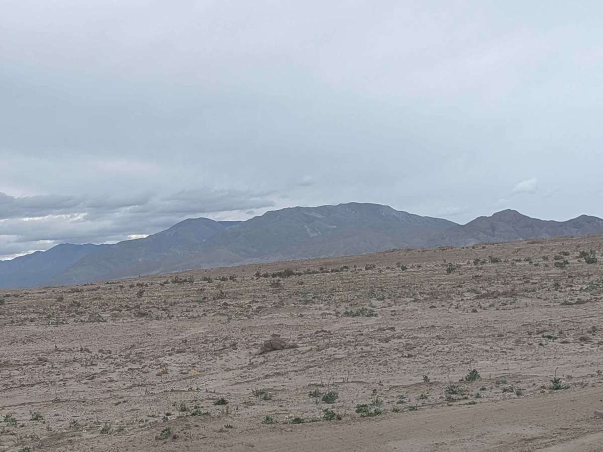
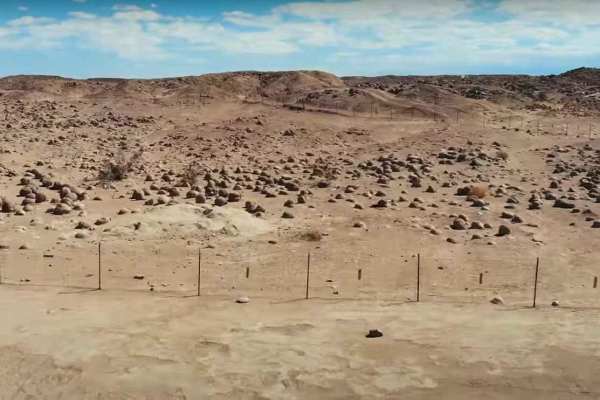
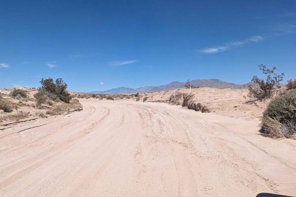
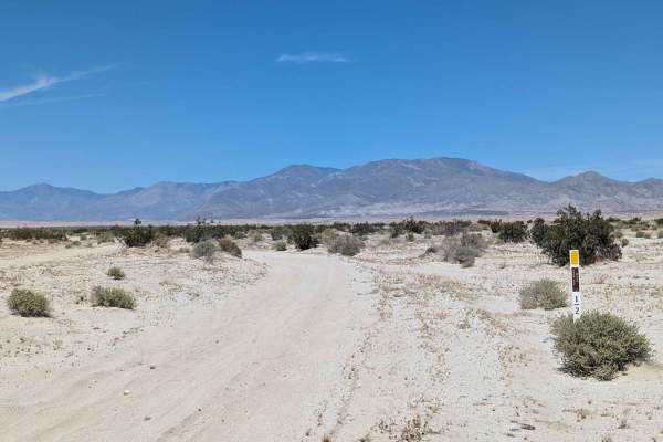
Trail Overview
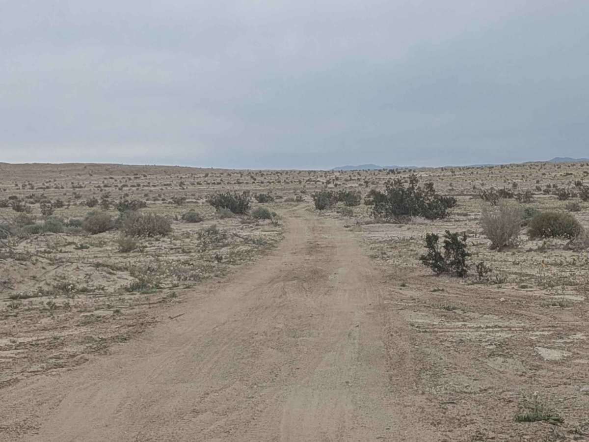
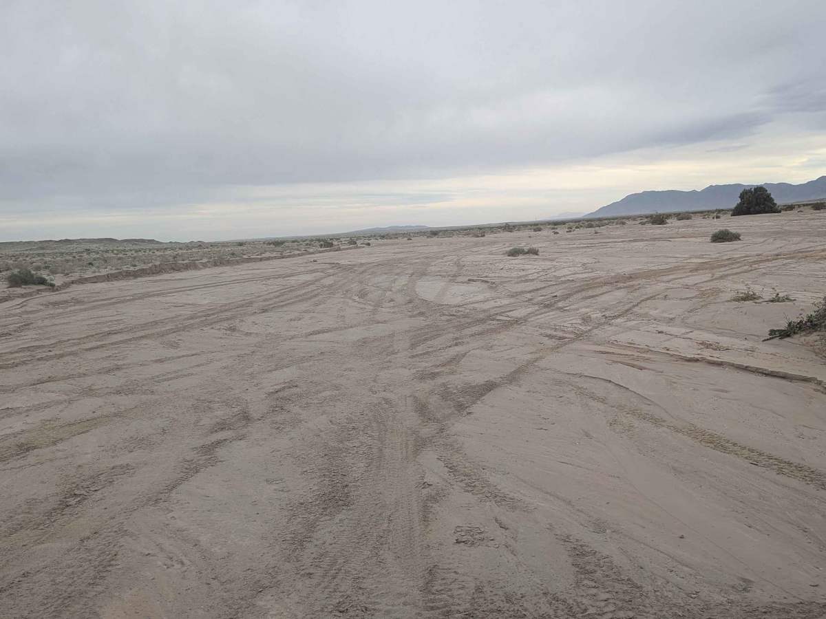
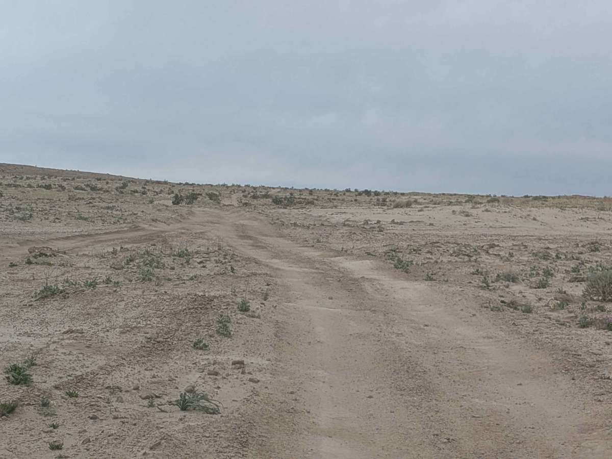
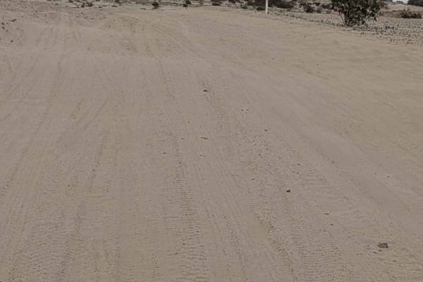
This trail starts off Bank Wash and ends at Pumpkin Patch Trail, dropping in and out of various washes, including East Bank Wash. Some drops are larger than others, though none are deeper than 12 inches, creating varied vertical challenges. The trail is uneven with some off-camber sections scattered throughout and some whoops that add character. It's lined with lots of creosote bushes and seasonal wildflowers that frame the route. You'll encounter a couple of sections of deep ruts due to water runoff that demand attention. After a mile, the trail winds around some big mud hills, creating a dramatic landscape. There are some spots for dispersed camping by the Pumpkin Patch intersection. This is part of the Ocotillo Wells OHV Area, where all registered vehicles are allowed.
Difficulty
The drops in and out of various washes up to 12 inches deep require careful approach angles and line choice, especially the larger drops. The uneven trail with off-camber sections demands attention and skilled driving. A couple of sections of deep ruts from water runoff are hazards that need caution. Four wheel drive and high clearance are recommended for the wash drops and uneven terrain.