Trail Overview
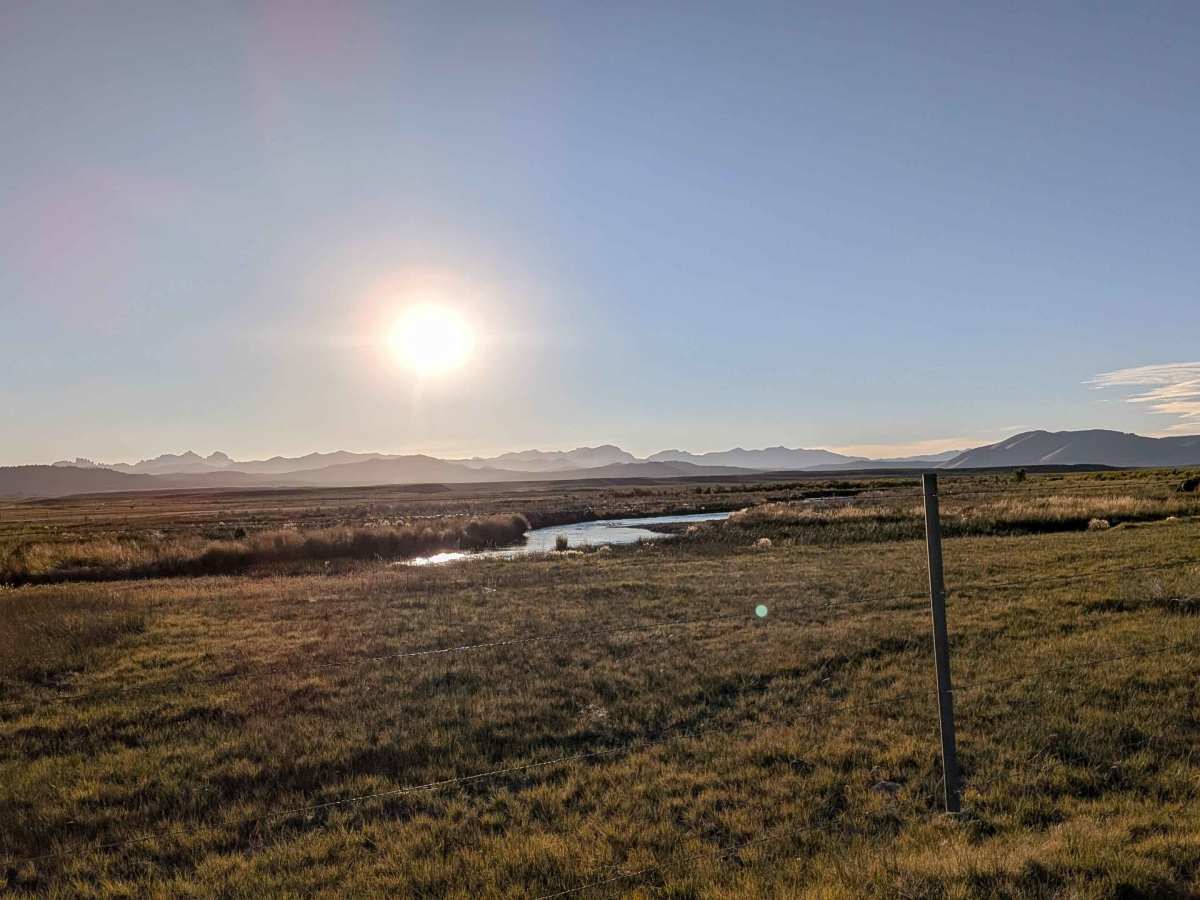
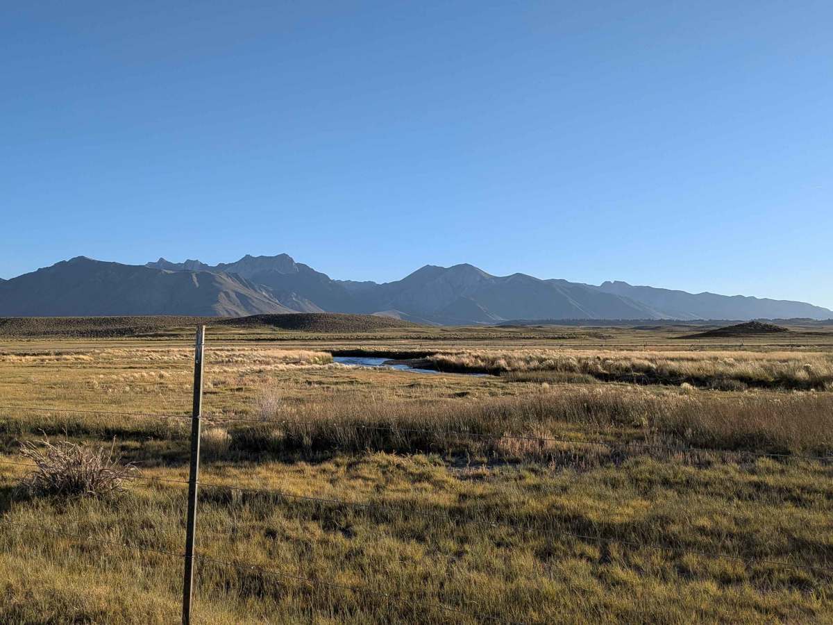
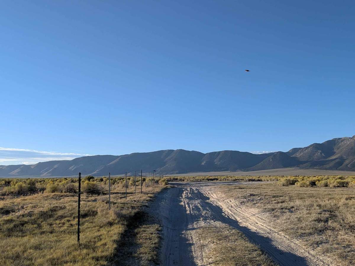
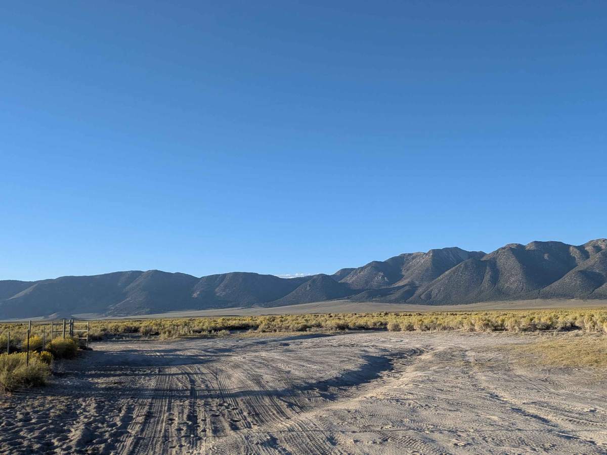
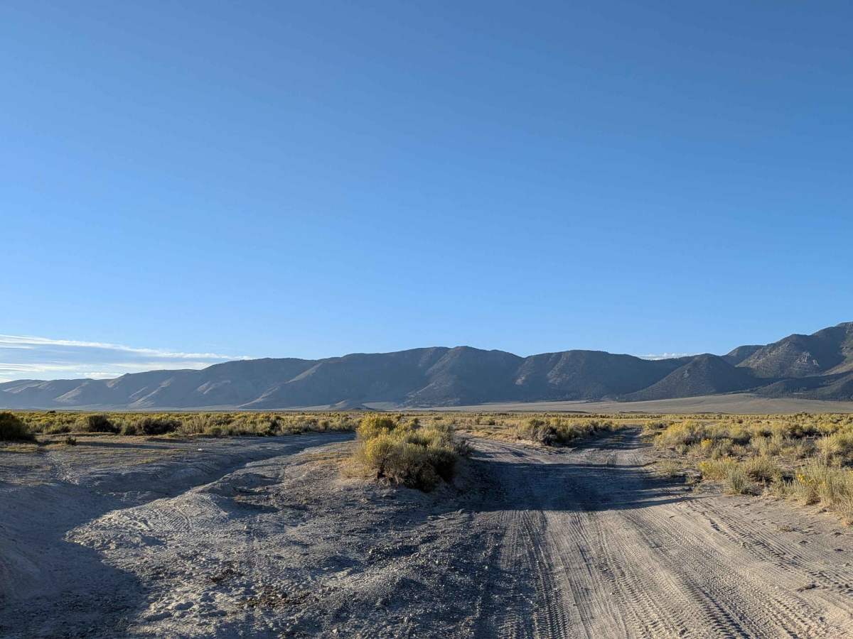
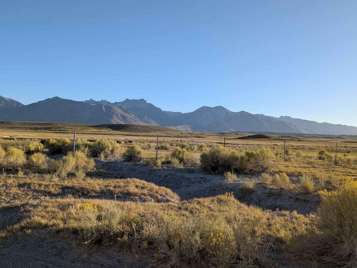
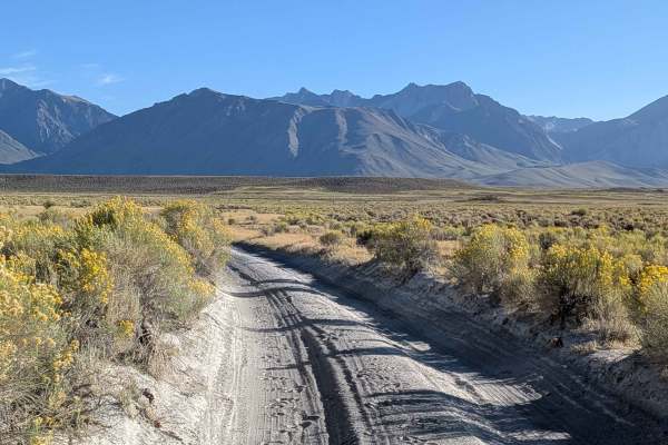
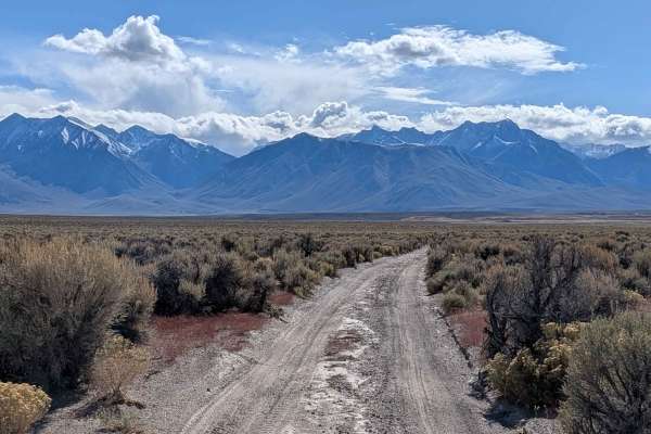
The South Owens Riverbank Trail runs along the east bank of the South Owens River, providing a scenic and somewhat rugged route through open country. This trail is popular with fishermen, offering numerous access points to the river along its length. It’s a mellow, meandering track that hugs the water and flows with the contours of the land. The visual payoff is immense. The route offers breathtaking panoramic views of the Eastern Sierra, showcasing Mount Morrison, Mini Morrison, Mount Sherwin, Mammoth Mountain, the Minarets, Mount Ritter, and Mount Banner. To the east, the Glass Mountains rise in contrast, completing the stunning alpine-to-desert backdrop.
Difficulty
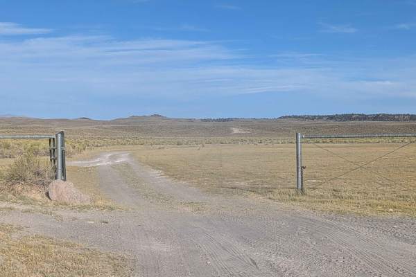
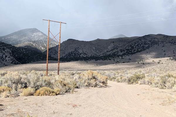
While this trail isn’t overly technical, it includes several deep ruts, off-camber stretches, and very sandy sections that can trap the unprepared. It becomes impassable when wet, turning soft dirt into sticky, vehicle-swallowing mud. High-clearance vehicles with good tires are strongly recommended, and drivers should exercise caution in wet or recently stormed conditions. This trail is best enjoyed when dry, and is ideal for slow exploration with plenty of photo stops along the way.
History
The South Owens River, specifically the section below Pleasant Valley Reservoir, is known for its healthy population of wild and stocked trout, making it a popular spot for fly fishing, especially for those targeting browns and rainbows. The best time to fish the South Owens is during the spring and fall spawning runs, but good dry fly action can also be found during the warmer months.