Trail Overview
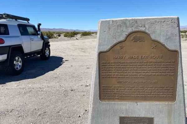
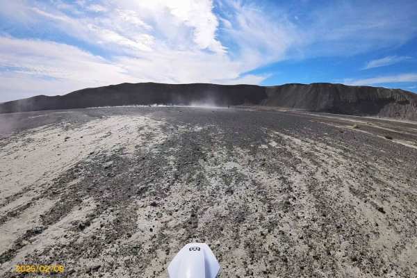
Saratoga Springs is an accessible yet remote desert route ideal for stock four-wheel-drive vehicles, SxSs, and high-clearance rigs looking to discover an unexpected wetland oasis in the southernmost reaches of Death Valley National Park. Spanning approximately 4 miles with a minimal elevation gain of about 50 feet, this short spur trail branches off the Harry Wade Exit Route and heads north toward the Ibex Mountains. The terrain consists primarily of unpaved dirt and gravel, but drivers should expect washboard surfaces, cross-graining, and a few sandy wash crossings. At the end of the road, a designated parking area marks the boundary where vehicles are prohibited, allowing visitors to proceed on foot to view the vibrant, spring-fed marsh.
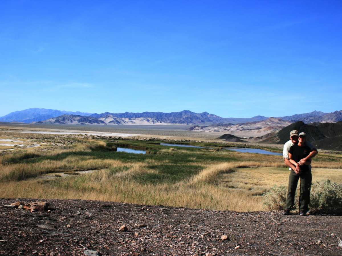
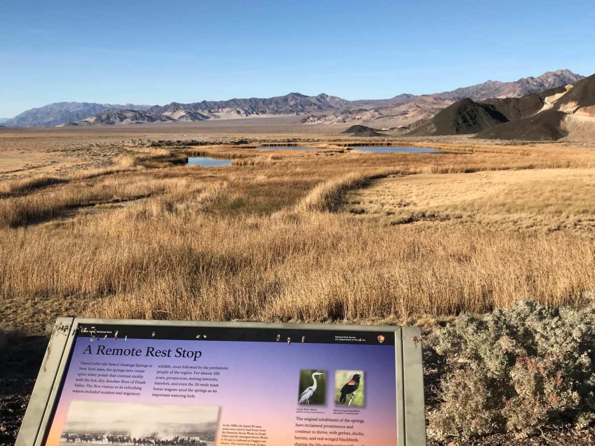
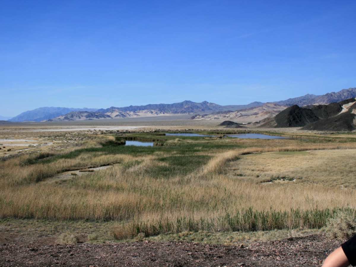
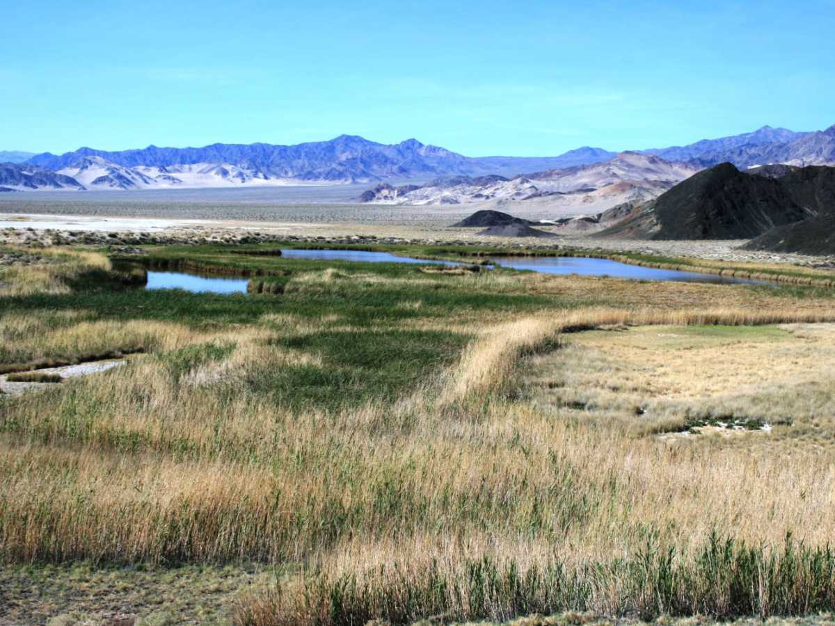
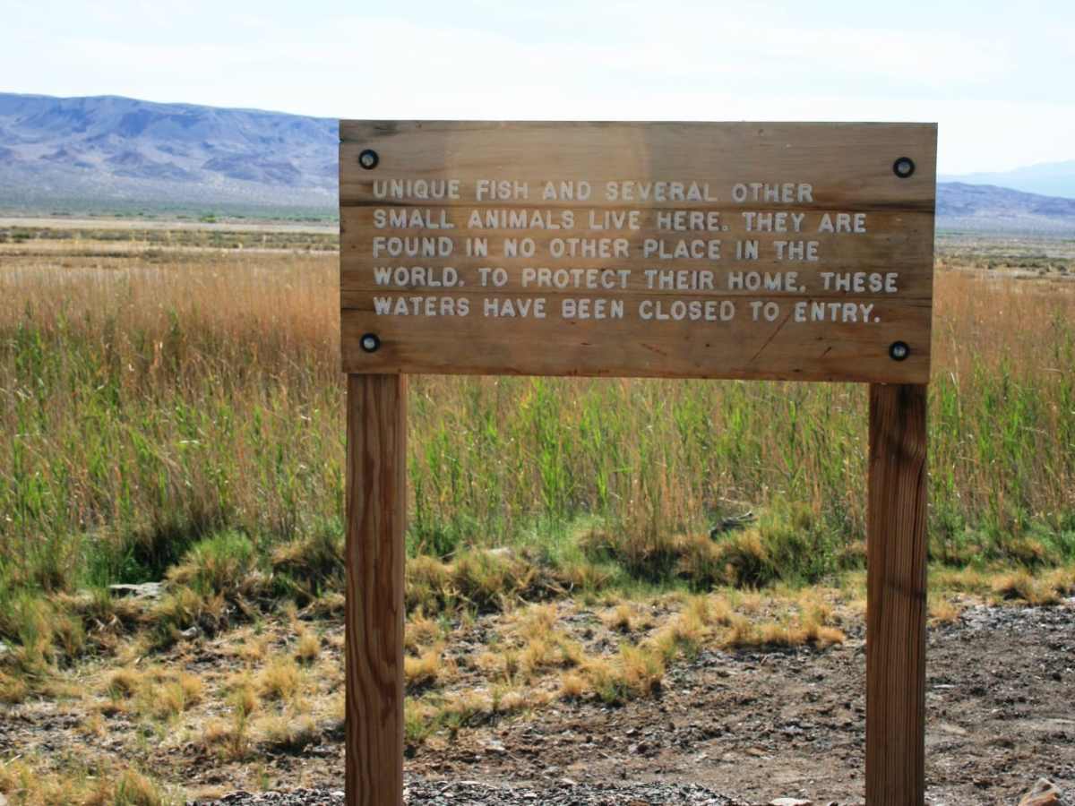
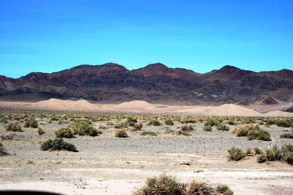
The lush, green pools of Saratoga Springs support a rare population of desert pupfish and attract numerous bird species, creating a striking contrast against the surrounding arid landscape. Because the route traverses remote desert washes, the trail is highly susceptible to washouts and can become impassable following heavy rains and flash floods. While the trail carries a low technical rating of 2, preparation is essential due to the extreme heat and lack of cell service in this section of the park. From the parking area, adventurers can also access nearby historical sites like the Saratoga Mine, or continue north on the adjacent trail toward the base of the Ibex Sand Dunes, which requires a highly capable four-wheel-drive vehicle and advanced planning.