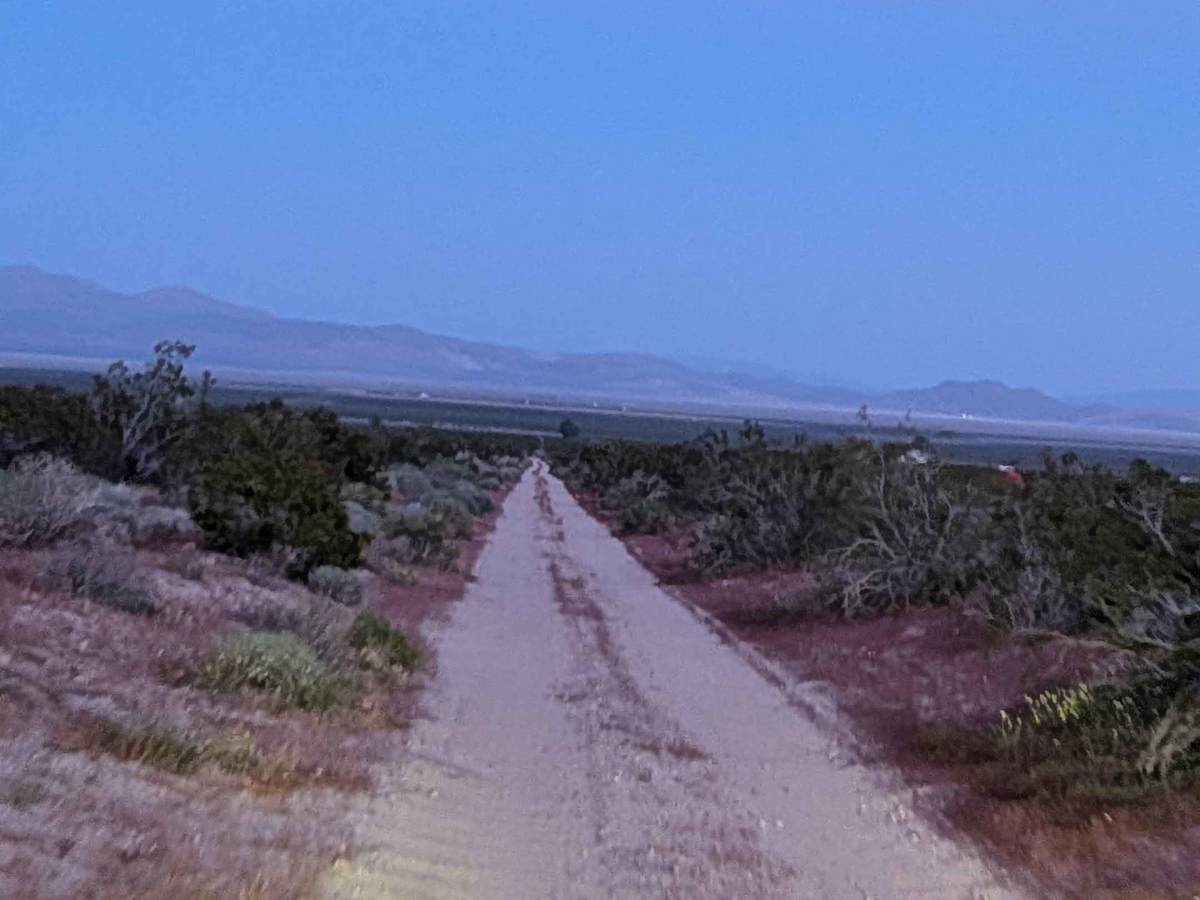
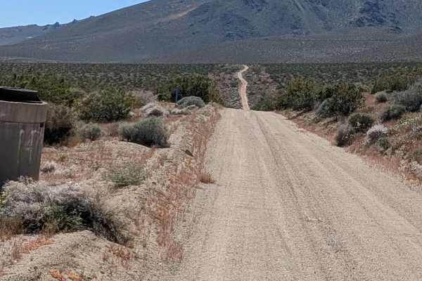
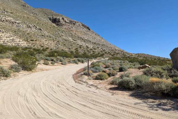
Trail Overview
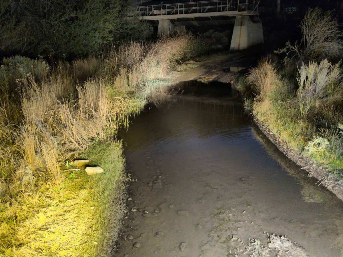
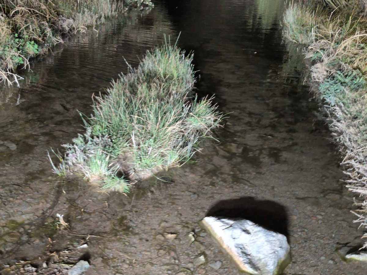
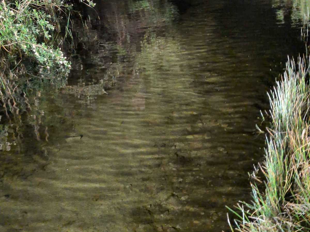
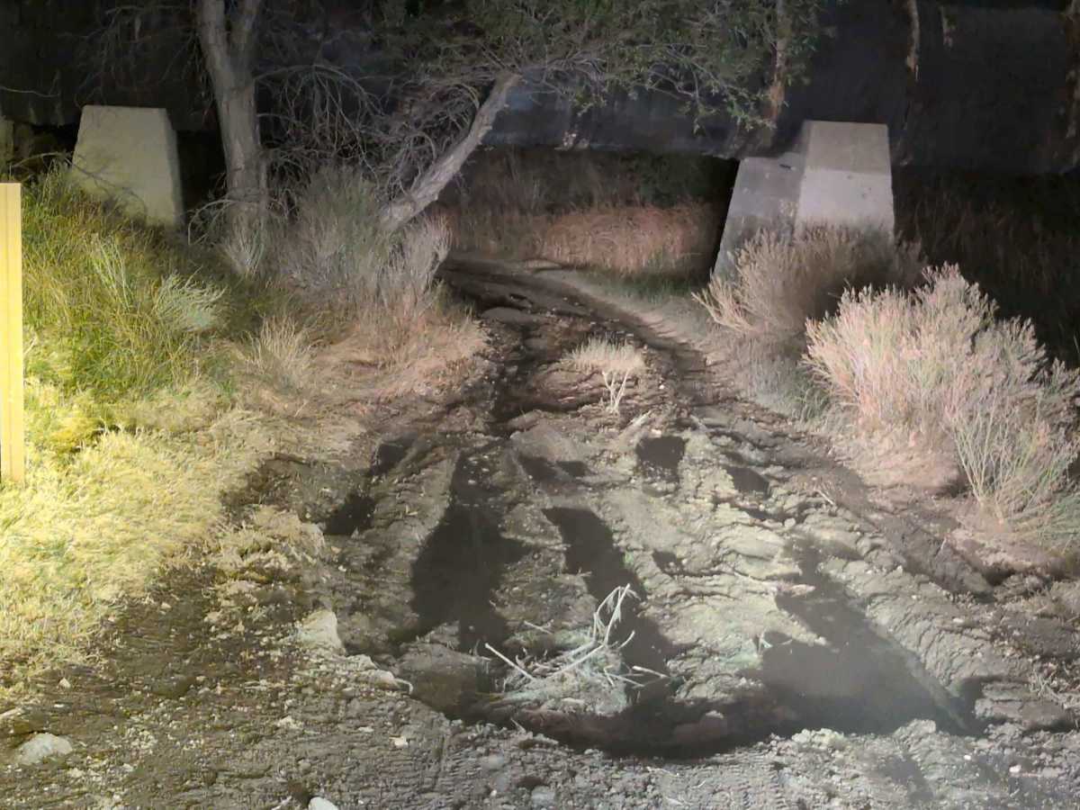
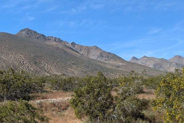
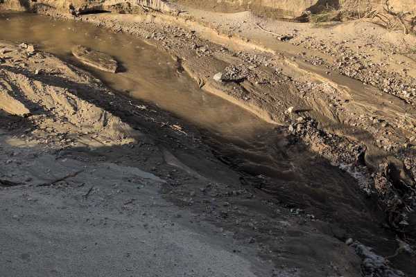
This six-mile out-and-back trail starts on a side road parallel to Highway 395. It starts out as a one vehicle wide loose sand route that navigates through an abundance of desert bushes before culminating in Sand Canyon. The south end runs relatively smoothly with some washboards creating minor vibrations. As you climb into the canyon, the road gets rougher with ruts, uneven surfaces, off-camber sections, and embedded rocks appearing progressively. The last mile in the canyon becomes relatively harder with various water crossings and a couple of mud pits, transforming the experience and jumping the difficulty significantly.
Difficulty
4/10 overall, though the south end rates easier. The relatively smooth south with washboards starts benignly, but climbing into the canyon introduces ruts, off-camber sections, and embedded rocks that demand attention. The last canyon mile with various water crossings up to 18 inches deep and a couple of deep mud pits earns the 4 rating, requiring high clearance, good ground clearance, and possibly recovery gear if you misjudge depth. Loose sand throughout needs momentum management. The progressive difficulty means turning back before the last mile drops the rating considerably. There is also an old aqueduct pipe that you go under. It is fairly low, so check for clearance.