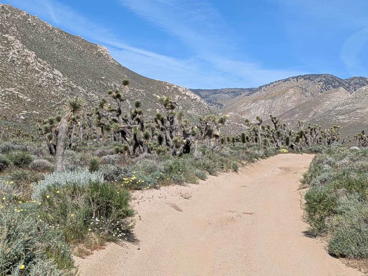
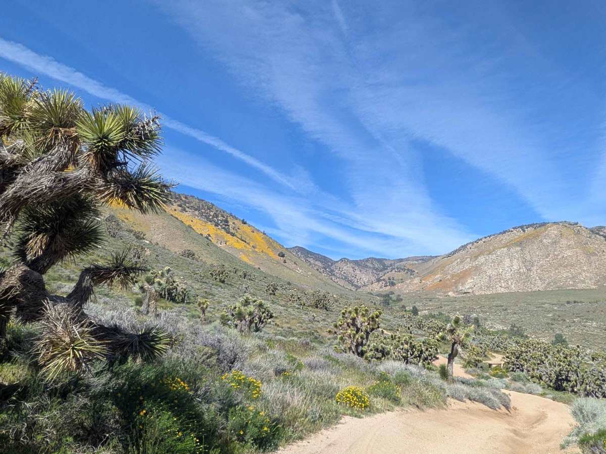
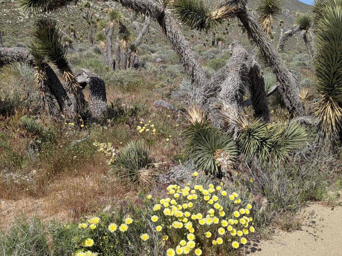
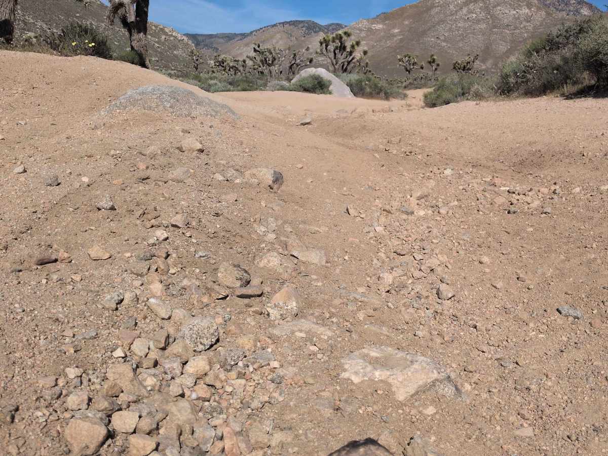
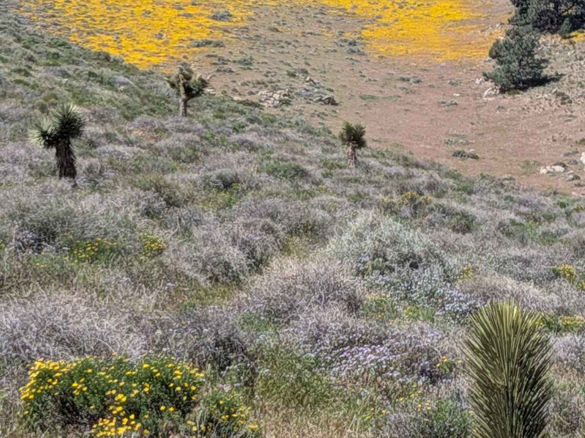
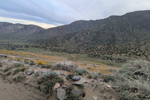
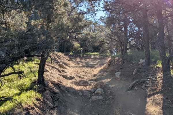
Trail Overview
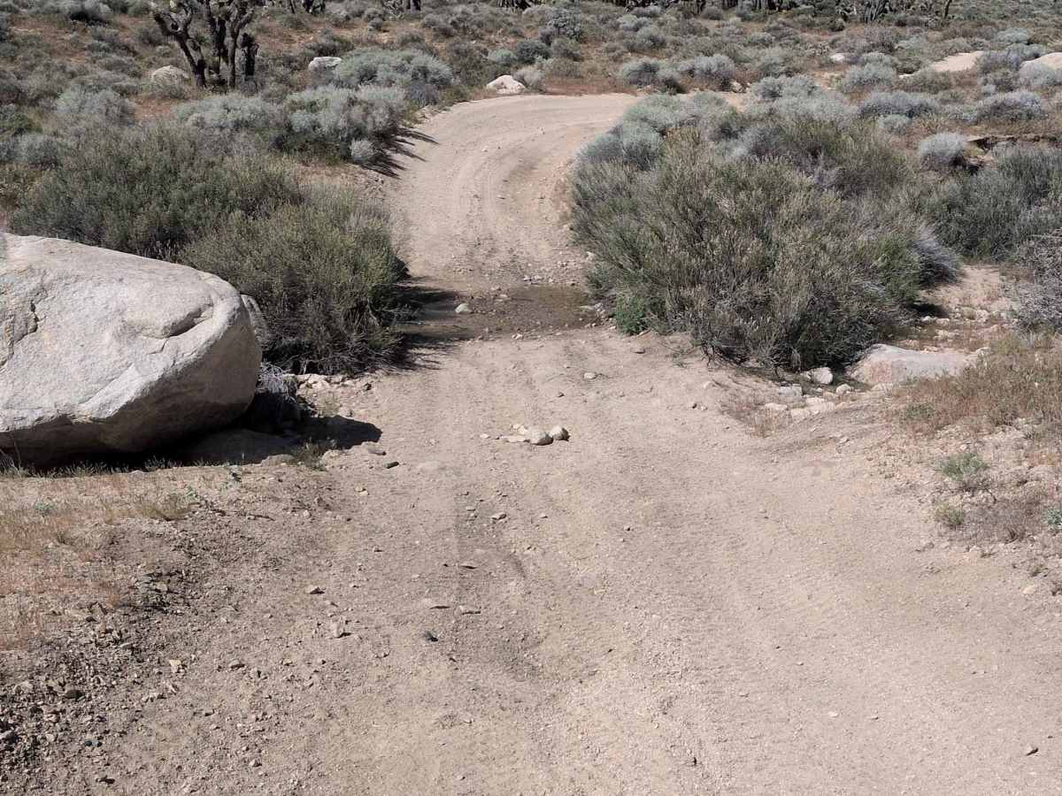
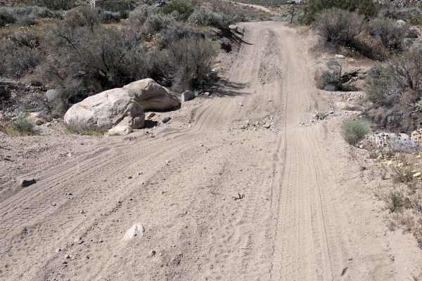
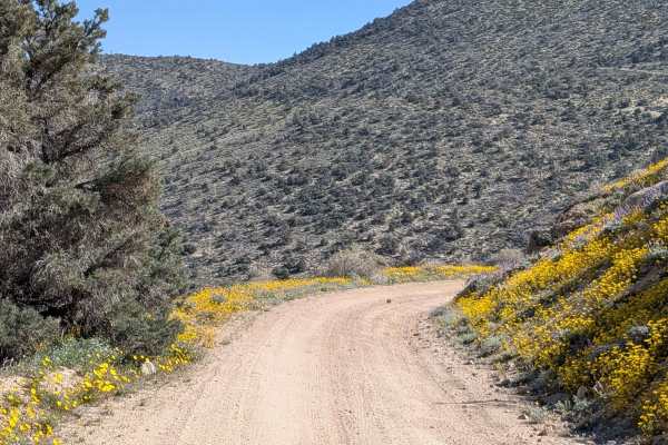
This sandy 14-mile out-and-back trail climbs over 1,700 feet in just under 7 miles while taking you into Sage Canyon, a wide canyon surrounded by Scodie Mountain foothills. Lots of ruts, off-camber sections, uneven terrain, and small washes to cross create relentless obstacles. Many high bank turns and whoops were created by side-by-side traffic that test your suspension throughout. Some small rock gardens add rocky technical sections to the predominantly sandy route. The trail is surrounded by desert flora, including big sage, large groups of Joshua trees, and blooming seasonal wildflowers. Many offshoot trails branch off for additional exploration. This trail will touch your suspension with its accumulated challenges.
Difficulty
The 1,700-foot climb in under 7 miles means sustained steep grades over distance. Those lots of ruts, off-camber sections, uneven terrain, and small wash crossings accumulate into serious challenges. The many high bank turns and whoops from side-by-side traffic create suspension-testing features throughout, living up to the claim that this will touch your suspension. Small rock gardens add technical navigation beyond just sand management. The combination of climbing, ruts, whoops, and rock gardens creates a demanding route suitable for capable vehicles with good suspension travel and experienced drivers.