Trail Overview
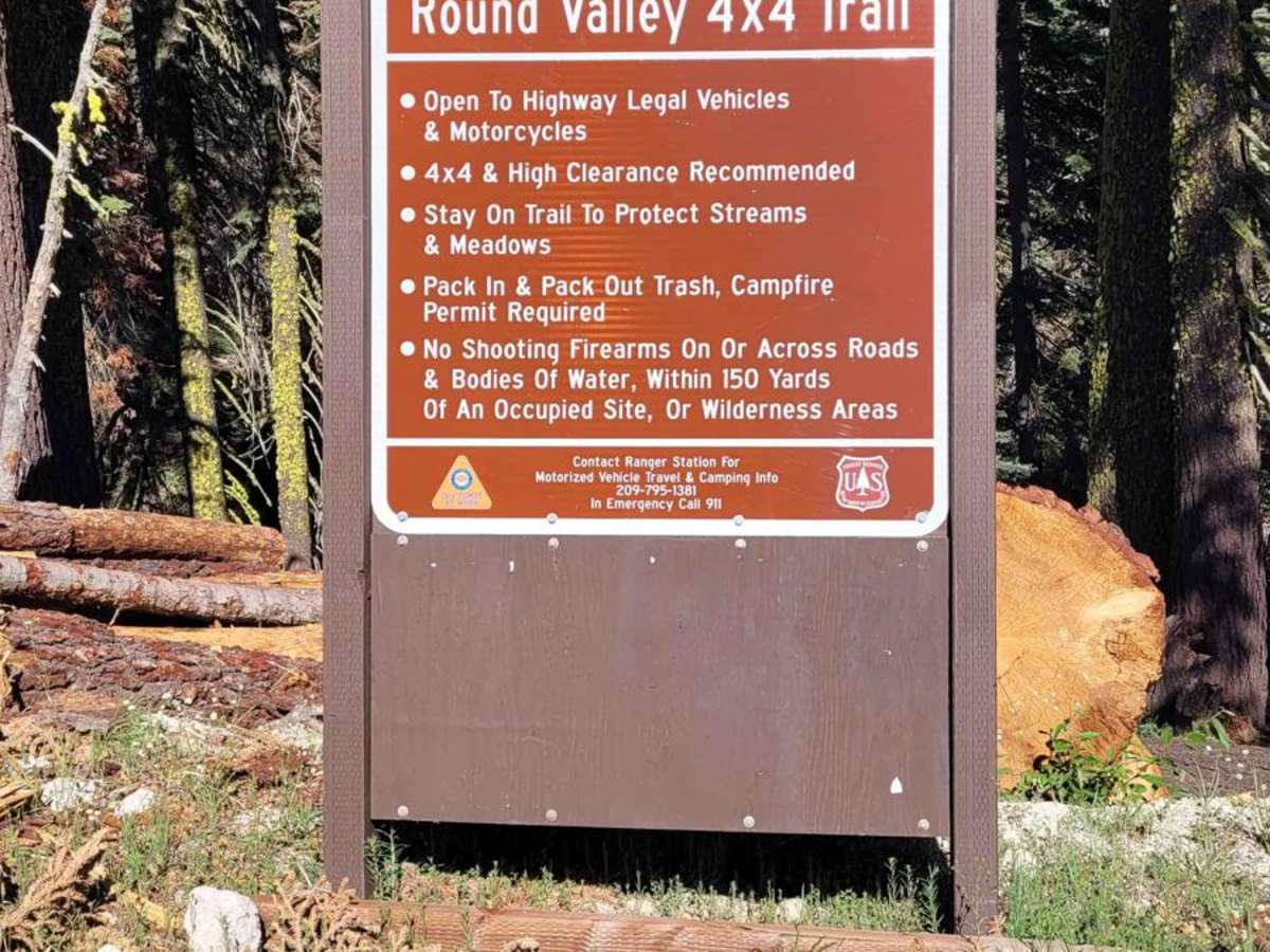
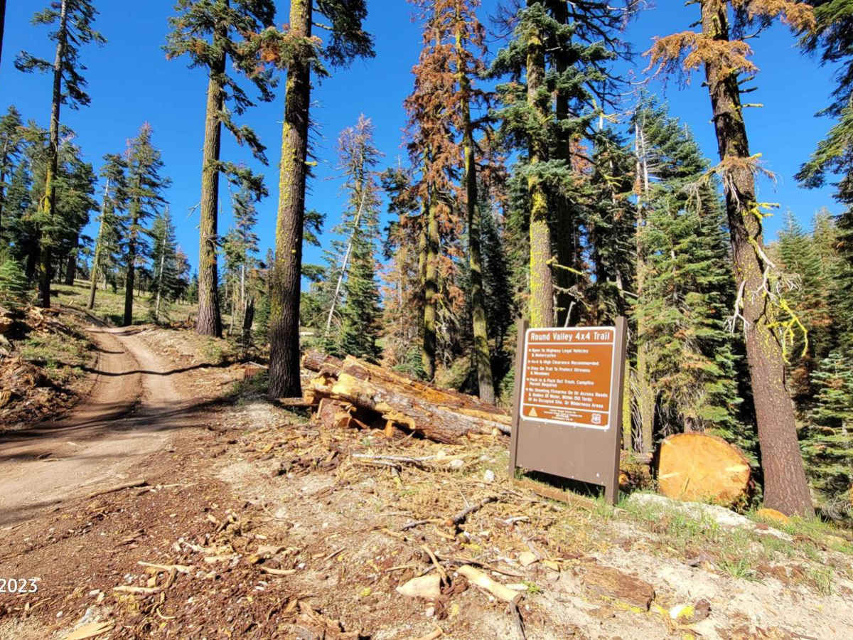
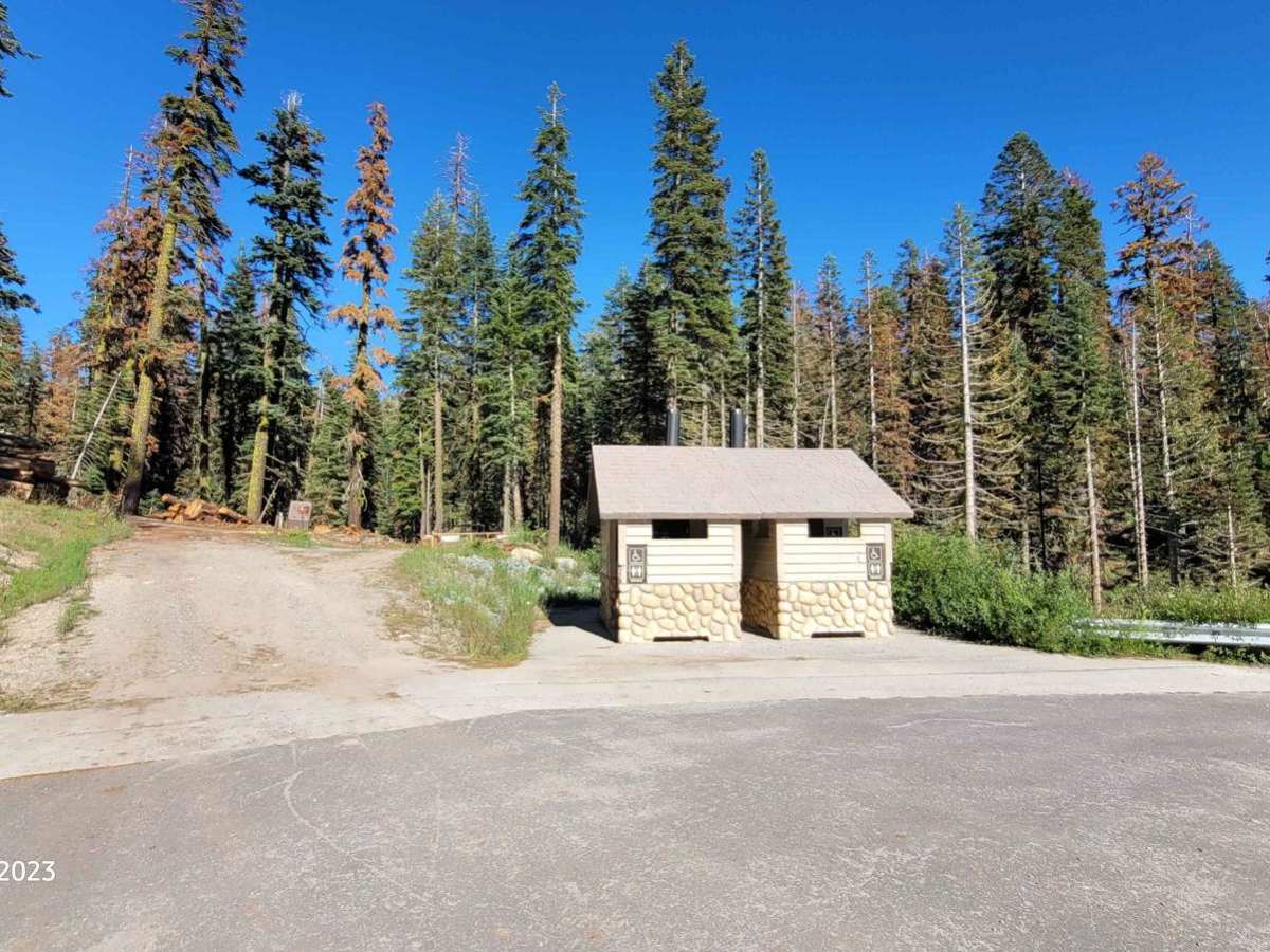
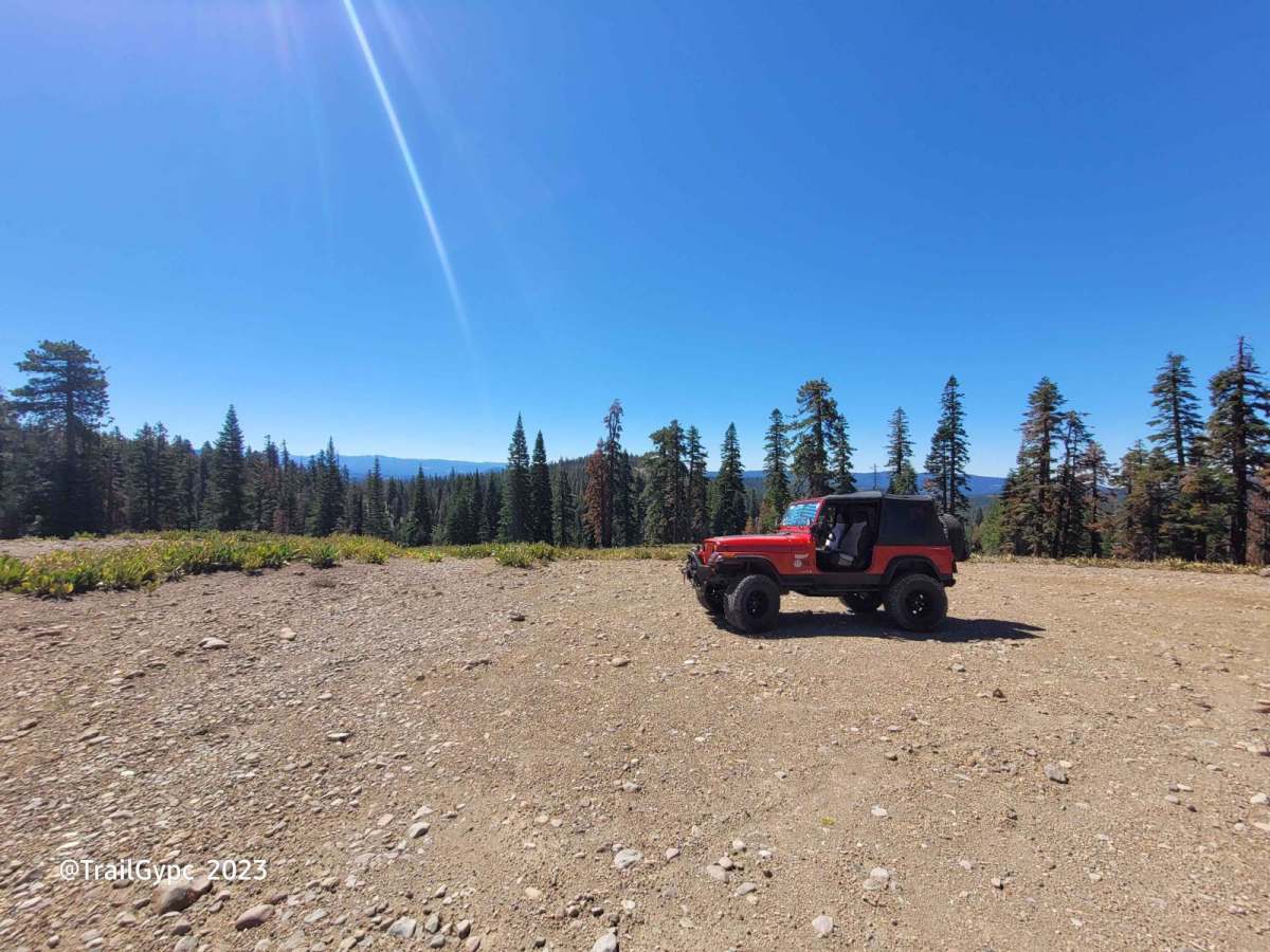
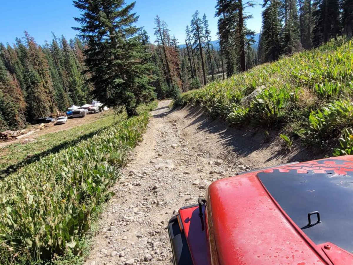
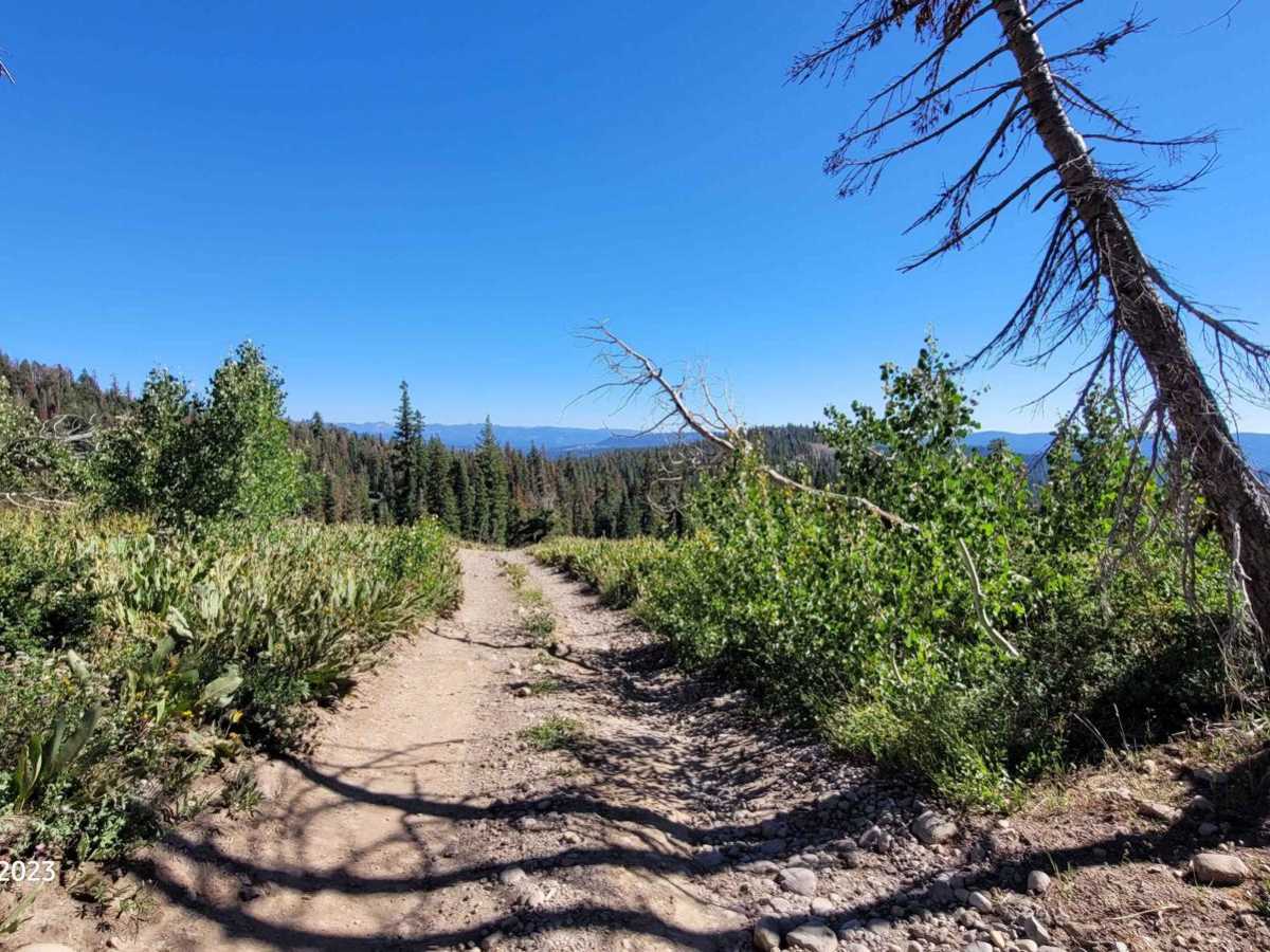
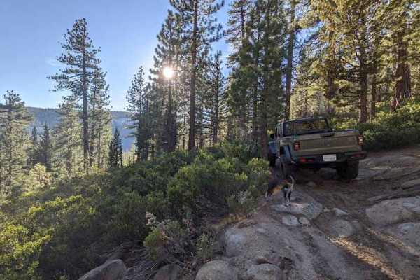
This is a route with a ridgeline view of the Sierra Nevada from Highway 88 to Highway 108 then down to the Stanislaus Valley floor. You can pick out well-known landmarks in the area such as "The Three Chimneys", "Mt. Reba", "Mokelumne Peak", "Hiram Peak" as well as very visited lakes such as Spicers Reservoir, Utica, and Union Lakes. The route is a very steep lava cap and rocky slope all the way up to the ridgeline, ending at the border of the Mokelumne Wilderness. Motorized travel is not permitted in the Mokelumne Wilderness or any wilderness area. Please do not go down the road to the left that goes into Underwood Valley at the top. There used to be a cable that blocked this route off but it is now gone, as is the "Mokelumne Wilderness" signage. You can hike down into this lush green and wildflower-dotted valley. There is a privately owned cabin down here. If you go visit, please do not disturb it or damage it. The hike down to the valley is one mile. You will come to a trailhead sign at the bottom that reads "Frog Lake", "Wheeler Lake", and "Hwy 4". The two lakes are beautiful but quite the hike. There are many other hiking routes that lead to both, but this is quite an adventurous hike. It's a beautiful route that goes along the Tamarack pine-lined ridgeline all the way to a mule ears-filled open plain. 4WD is necessary, and sometimes 4-low is needed in the steep granite, sandy scrabble climbs. You may need lockers, depending on your experience in rocky, slick climbs. There is a paved parking area at the trailhead as well as cement building restrooms. There is ample room to park a trailer. There are a few primitive camping spots with large fire pits made from rock along the way. Do not burn your trash in the fire pits. Take all trash out with you and even the trash you find. Practice Leave No Trace and Tread Lightly ethics. Campfire permits are needed if you plan to overnight on the trail and cook with a stove or have a campfire. This is open to highway-legal vehicles and motorcycles only. The route is always closed once the snow falls. The best times are summer and fall. Pictures in the description of this route do the trail and slope no justice. The pictures are deceiving compared to the slope and slightly off-camber spots. It's not a hard trail but not a beginner's trail either. It's a great intermediate to lower advanced route. It's rated a 6 due to the lava cap, decomposed granite, and possible lockers in some spots per the time of year and use this route gets.
Difficulty
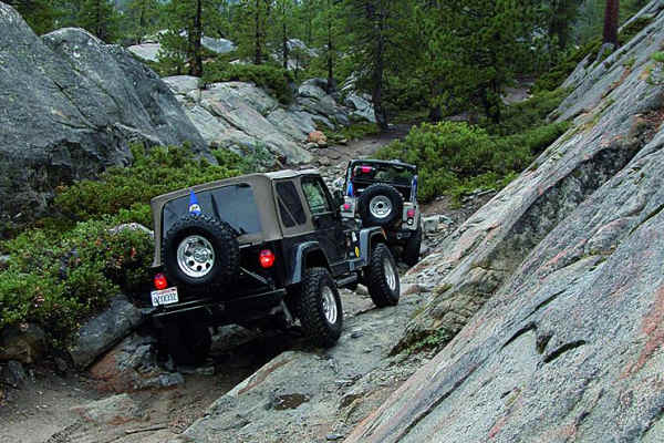
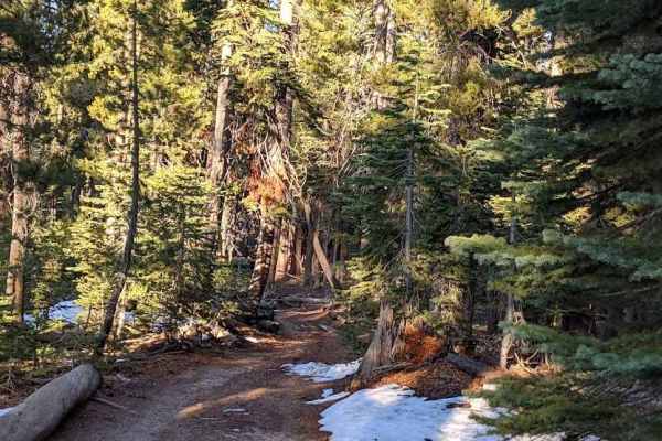
There are three very steep-sloped, sandy, lava and granite spots. Two of these areas have two different approaches. Choose the one best to your ability. Within the three spots, you will encounter a small bit of off-camber if you are not careful. Towards the beginning of the route, there is a spot that takes a while for the snow to melt within huge tall pines. The road here can be very muddy and washed out with ruts. Some years the ruts can be deeper than a 33-inch tire. Use caution on the terrain as once through here you will approach an off-camber turn with two different approaches as well. Both of the two approaches have a lava cap slick and a dirt, granite, cobble stone-like route.