Polenta Canyon Road

Total Miles1.6
Technical Rating
5Moderate
Best TimeSpring, Summer, Fall
Trail TypeFull-Width Road
Accessible By
Open Trail Map

Trail Overview

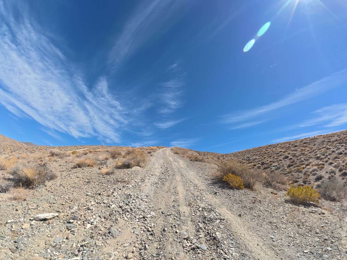
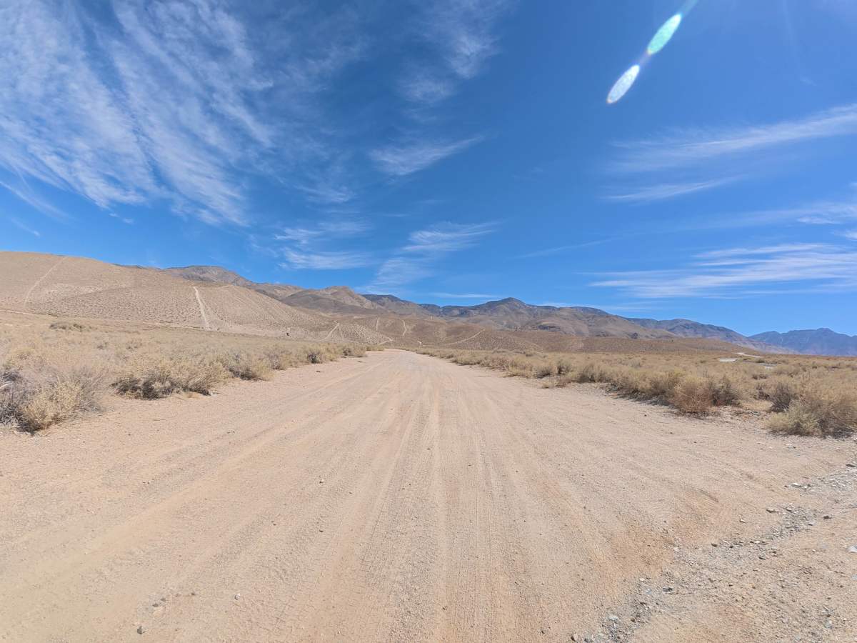
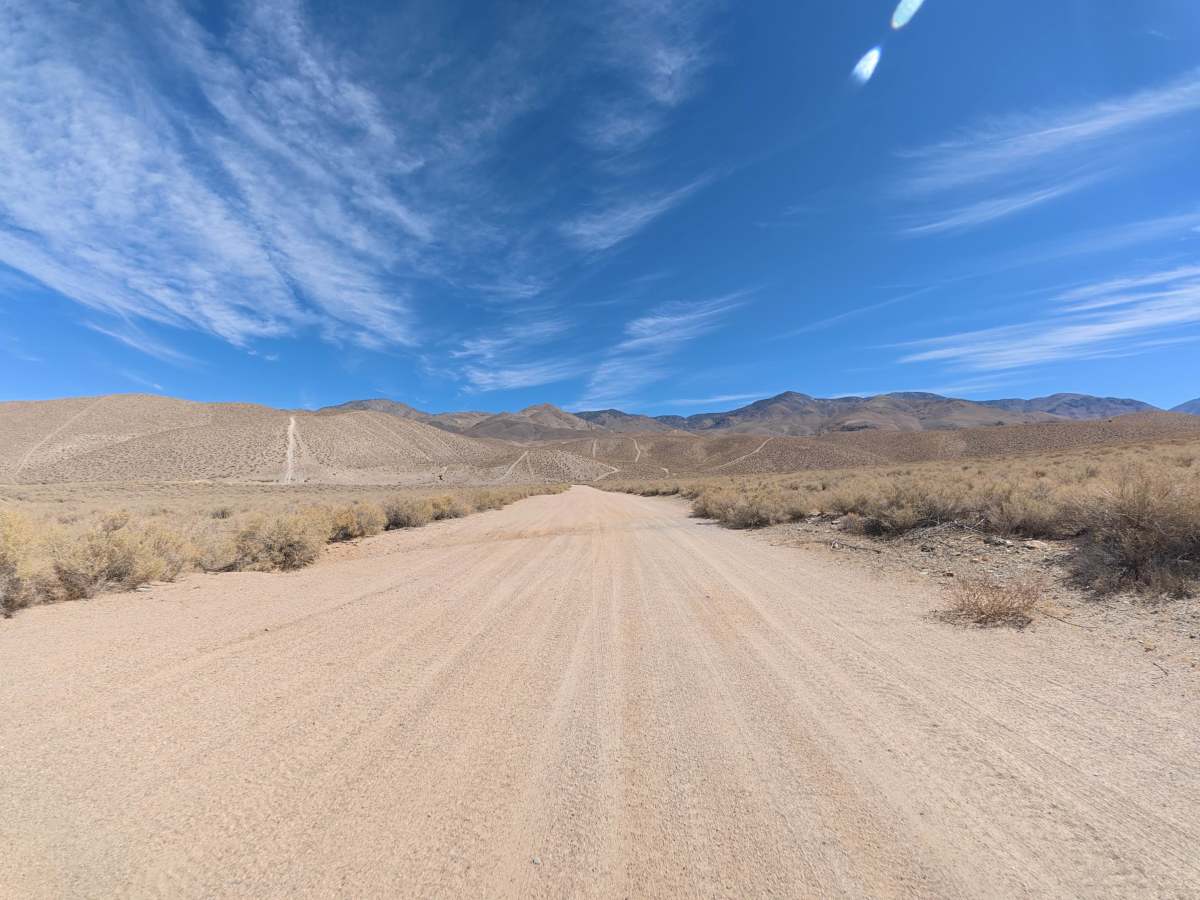
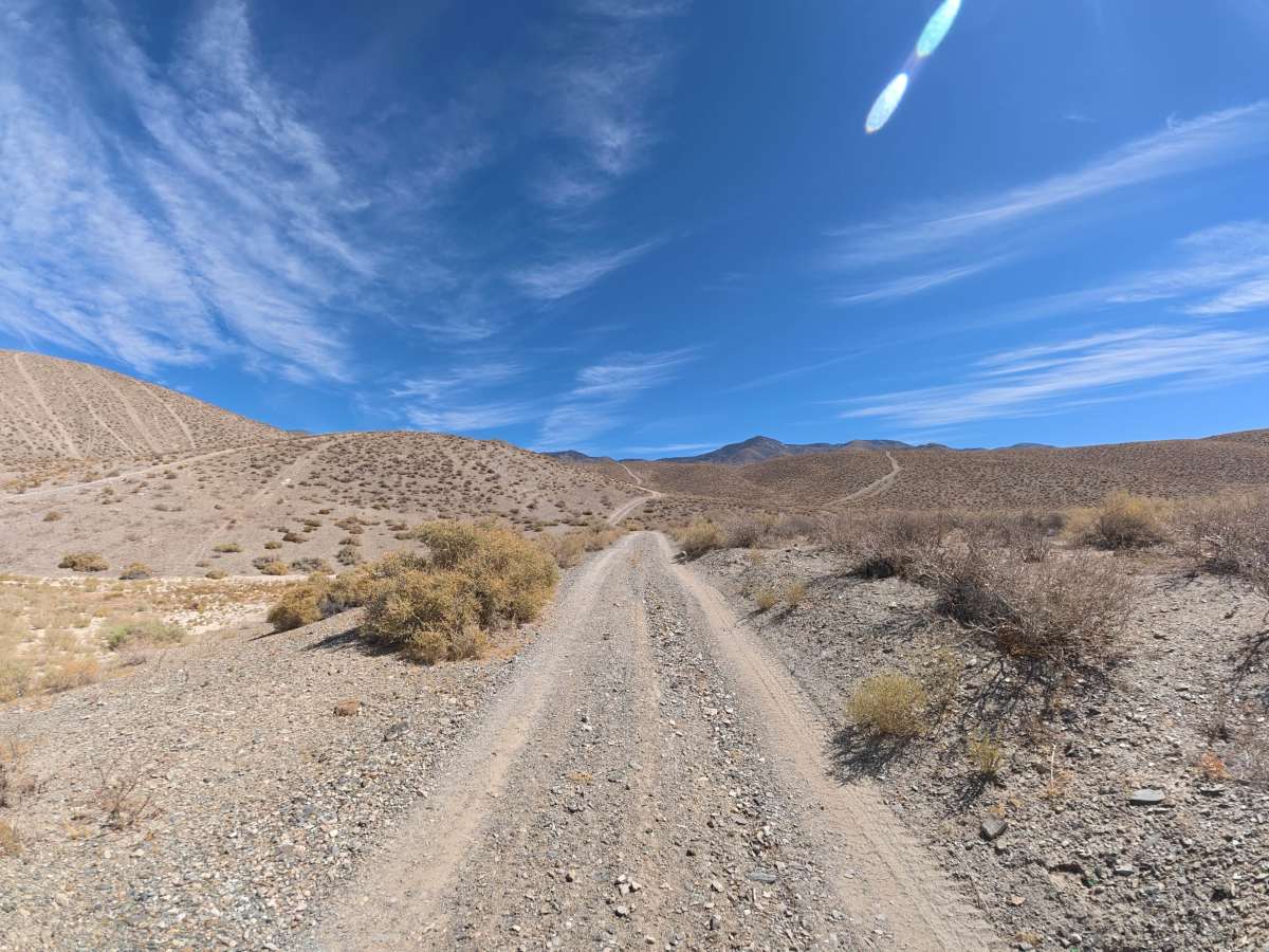
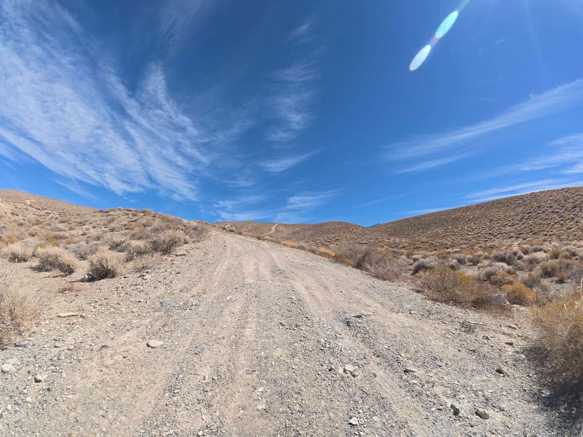
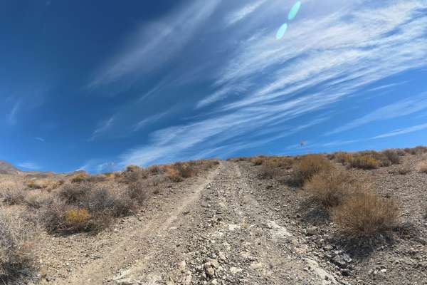
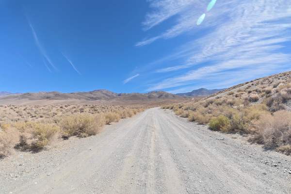
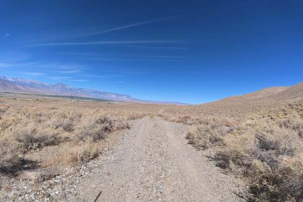
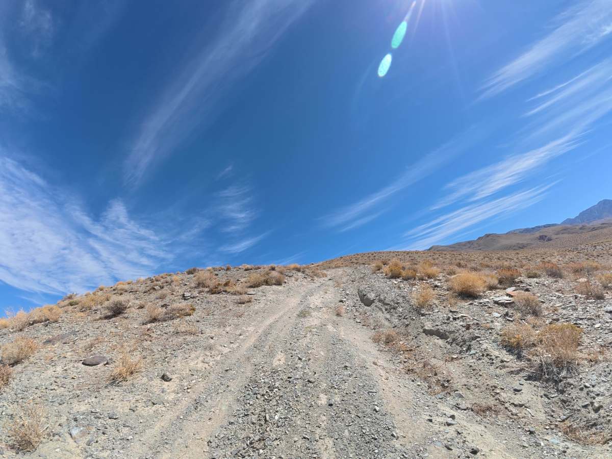
This dirt and gravel trail branches off Big Pine to Silver Canyon Road and travels through BLM land toward Inyo National Forest. The route begins wide with 6–8-inch ruts before climbing toward the mountains. Around 0.4 miles, expect steeper terrain with 12–14-inch ruts. At 0.9 miles, the trail becomes significantly more difficult with a 25° hill climb featuring 12–18-inch ruts and rock ledges. Several other trails cross this route, so watch for other users.

Photos of Polenta Canyon Road

Difficulty

This trail is rated Level 5 because of the extremely steep 25° hill climb, 12–18-inch ruts and rock ledges, and demanding uphill terrain. At least 16 inches of front-end clearance and 4WD or AWD are required. Lockers are recommended if equipped.

Technical Rating

5

Polenta Canyon Road Trail can be accessed by the following ride types:

  • Single Track
  • 50 Inch
  • 60 Inch
  • High Clearance
  • Full Width

Polenta Canyon Road Map

The onX Offroad Difference

onX Offroad combines trail photos, descriptions, difficulty ratings, width restrictions, seasonality, and more in a user-friendly interface. Available on all devices, with offline access and full compatibility with CarPlay and Android Auto. Discover what you're missing today!

Open Trail Map