Pleasant Canyon

Total Miles10.1
Technical Rating
4Moderate
Best TimeFall, Winter, Spring
Trail TypeFull-Width Road
Accessible By
Open Trail Map

Trail Overview

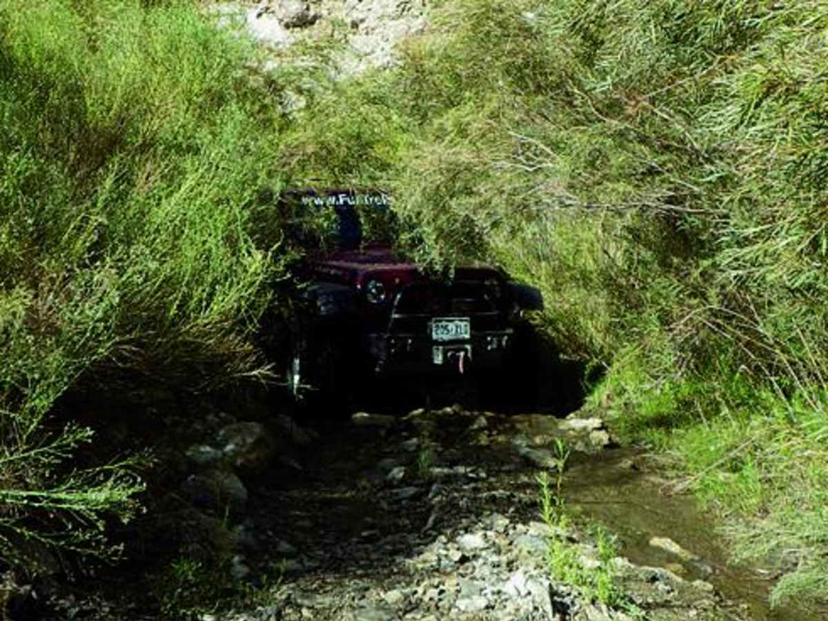
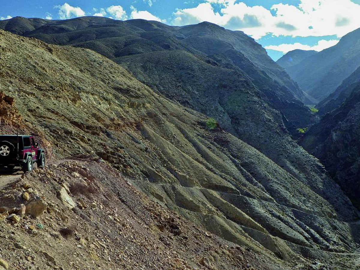
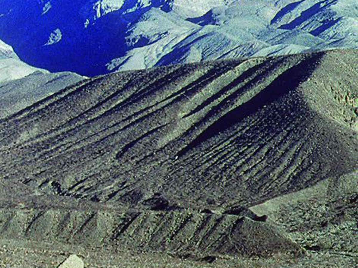
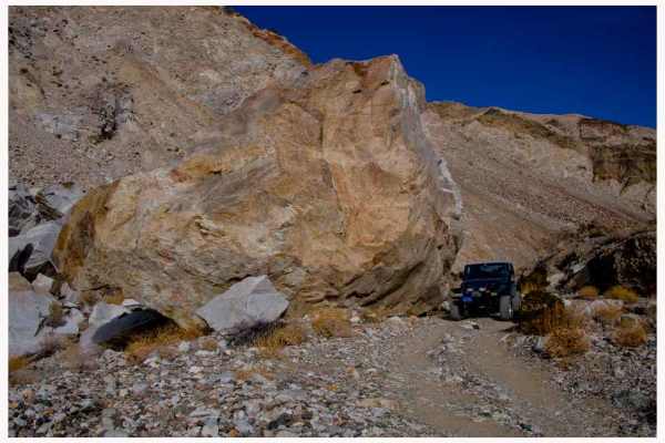
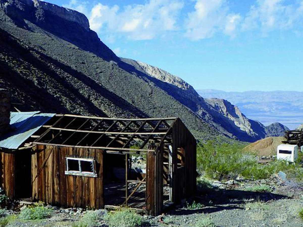
Pleasant Canyon offers offroaders an engaging and scenic climb from the salt flats of Panamint Valley up into the rugged Panamint Range, making it an ideal adventure for those seeking a mix of mining history and challenging high-elevation shelf roads. Starting near the historic ghost town of Ballarat, this 10-mile route ascends over 5,600 feet, starting at an elevation of 1,077 feet and topping out at 6,410 feet. The trail is rated a moderate 4, requiring high-clearance four-wheel-drive vehicles with low-range gearing to safely navigate the steep gradients and tight, narrow shelf road sections. Drivers will traverse rocky terrain, passing through a narrow canyon that eventually opens up to sweeping views of the valley below. Along the journey, travelers will encounter remnants of the region's rich gold-mining history, including Clair Camp and the historic Ratcliff Mine, which produced half a million dollars in gold before its initial closure in 1905. The vegetation becomes denser as the elevation increases, featuring optional routes that contain extremely tight, scratchy brush capable of leaving trail pin-striping on larger rigs.

Photos of Pleasant Canyon

Difficulty

Moderate: High shelf road has several steep, narrow sections. Okay for stock vehicles, but high clearance, 4WD and low-range gears are necessary. Optional route has extremely tight and scratchy brush.

History

In 1897, more than 200 men worked at the Ratcliff Mine and lived at Clair Camp. The mine originally closed in 1905 after producing roughly half a million dollars in gold, but W.D. Clair acquired and resumed mining at the site in 1930, extracting an additional $60,000.

Technical Rating

4

Status Reports

Add Status Report
Baxter Smith
Aug 05, 2026
2025 INEOS Grenadier
Obstructed
Going from Ballart to Radcliff Mine.. scouting for a group of friends later in the month... Recommend that you take the Road to the LEFT (North). RIGHT (South) growth is incredible since last visit Dec 2025. Overgrown & blocks majority fo the passage. Unless you like driving through a 6 to 10 foot wall of growth for 2 to 3 miles where you can only see 5 inches in front of you. My mistake... doesn't have to be yours. I left the area on the other trail, that is OPEN with no worries. Just thought to share... have fun!
Justin Humphers
Dec 27, 2025
Open
NormalMuddy/WetRough/Deteriorated
Pleasant canyon to Briggs camp loop was open and clear even after recent storms. Great day on the trail.
B T
Dec 09, 2025
Open
Normal
Steve Klem
Nov 21, 2025
Open
Muddy/Wet
The trail is passable to World Beater Cabin but 12" of snow & ice up trail has made it unpassable. Note DO NOT take the lower trail marked as Pleasant Canyon ROAD it is totally washed out !
Nadir Elfarra
Sep 27, 2025
Open
Normal
Found the trail largely undamaged by recent rains. Went from Ballarat up to Roger's Pass, then south to the Striped Butte overlook, then back to Rita's cabin and finally back to Ballarat. The only evidence of the rains that washed out Highway 178 were some small trenches cut parallel to the trail just south of Roger's Pass, and some rockfall on the off-shoot to World Beater Mine past the cabin. The portion of the trail near the lower springs is more overgrown that when I was here in May, so if you're really averse to pin-striping, go slowly through that section.
Tess Mazur
Feb 28, 2025
Open
Normal
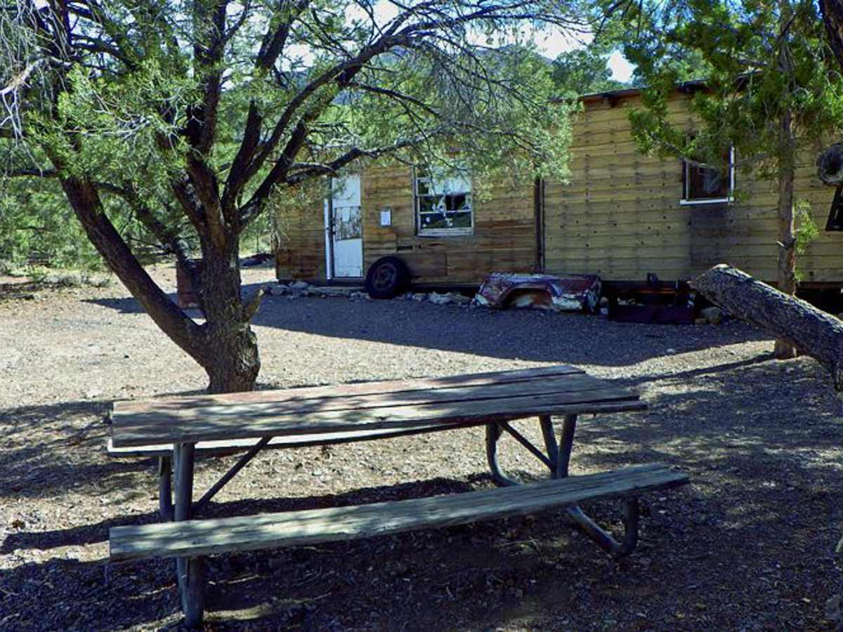
Recently grated. The first 1/3 is a windy single track road with steep drops on one side. The second third you drop into a beautiful canyon with running water, passing old mining equipment and a gold mining cabin you can stay in. Bring something to contribute for your stay. Further up is a beautiful valley full of trees and tons of little off shoot roads. If you go up high enough you’ll get a view of Death Valley Proper.
Sarah Kowalski
Feb 18, 2024
Obstructed
Deep Snow
Original trail through the lower canyon along the stream appears to have been washed out and is now overgrown. There is an alternative trail cut that follows a ridge and then drops you back onto the trail. Well maintained! Trail open to World beater mine cabin. Cabin in great condition. Went beyond into National Forest and into the snow. Some tracks but they stopped quickly. Plowed on and made it to the next cabin (can’t remember the name) but it’s never in good condition. Stopped for lunch and to play in the snow. Probably about 12”-18” at that point. Continue on and made it maybe a mile plowing in 2’-3’ deep snow before calling it quits and turned around. This next storm coming in will probably cover most of our tracks.
Leon Liang
Nov 04, 2023
Obstructed
Washout

Pleasant Canyon Trail can be accessed by the following ride types:

  • Single Track
  • 50 Inch
  • 60 Inch
  • High Clearance
  • Full Width

Access Description

The trail begins in Ballarat in the Panamint Valley region. While open to high-clearance four-wheel-drive vehicles, travelers should check local Bureau of Land Management (BLM) guidelines for seasonal access, potential washouts, and current road conditions in the Panamint Range.

Pleasant Canyon Map

The onX Offroad Difference

onX Offroad combines trail photos, descriptions, difficulty ratings, width restrictions, seasonality, and more in a user-friendly interface. Available on all devices, with offline access and full compatibility with CarPlay and Android Auto. Discover what you're missing today!

Open Trail Map