Trail Overview
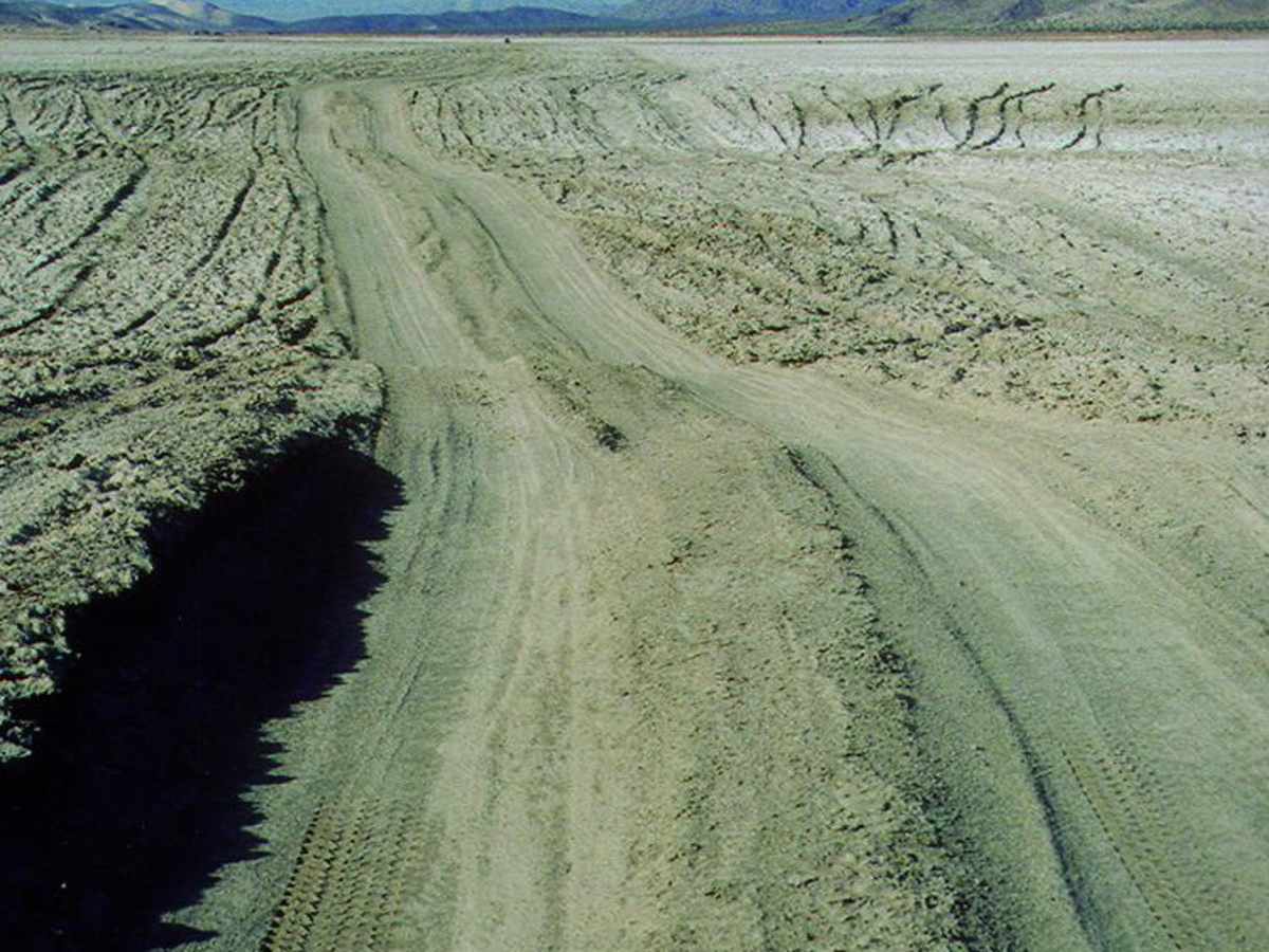
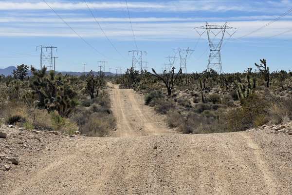
Mojave Road, West is a historic desert route tailored for properly equipped four-wheel-drive vehicles, SxSs, and overland enthusiasts seeking a true test of navigation and sand driving across the arid California wilderness. Starting west of Kelbaker Road, the trail initially offers an easy-going sandy track before presenting the challenging, flat expanse of Soda Lake, which can transform from a routine crossing when bone-dry into an impassable field of deep mud after recent rains. Because route-finding is notoriously difficult here due to shifting, wind-blown sands that easily obscure the trail, carrying a reliable GPS system is absolutely essential for keeping on track. The terrain demands high clearance and a capable four-wheel-drive system to handle the soft, power-robbing sand dunes and unpredictable desert washes.
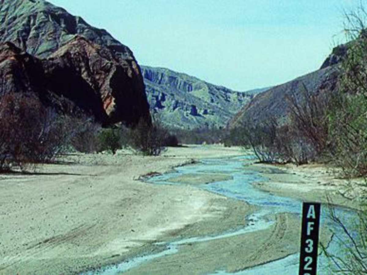
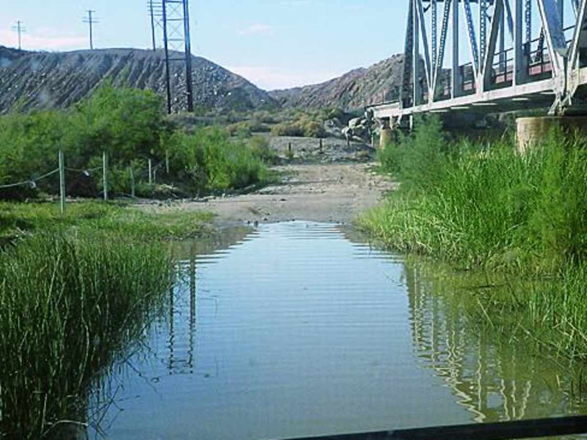
The journey culminates with a scenic descent into Afton Canyon, where drivers face two potentially deep crossings of the Mojave River that require careful depth assessment before proceeding. Street-legal vehicles are strictly required within the boundaries of the Mojave National Preserve, though non-street-legal OHVs and SxSs can access the open riding areas situated immediately west of the preserve's boundary. Nearby historic highlights include the abandoned ruins of Zzyzx, once a 1940s health resort at Soda Springs, which now serves as a desert research facility and makes for a fascinating roadside stop. Planning this expedition during the cooler fall, winter, or early spring months is highly advised to avoid the extreme, dangerous summer heat of the Mojave Desert.
Difficulty
Moderate (when dry): Variable conditions may include: deep mud, soft wind-blown sand and difficult route-finding. Without question, 4-wheel drive is required. GPS is highly recommended.
History
Soda Springs served as a small military outpost and stage stop during the 1860s. In 1944, Dr. Curtis Springer claimed the abandoned property and developed it into a mineral health resort, naming it Zzyzx as a marketing gimmick to ensure it was the last listing in any alphabetical directory. After the Bureau of Land Management evicted Springer in 1974, the site eventually transitioned into the Desert Studies Center, operated by California State University within the Mojave National Preserve.
Access Description
Only street-legal vehicles are permitted to operate within the Mojave National Preserve. Off-highway vehicles (OHVs) and non-street-legal SxSs are allowed in the open riding areas located directly west of the preserve boundary. Always check local weather and lake bed conditions before attempting to cross Soda Lake, as wet conditions make the lake impassable.