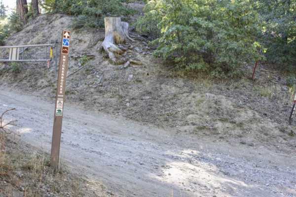
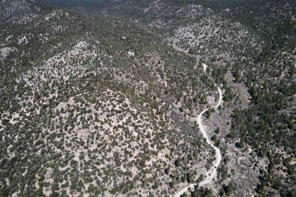
Trail Overview
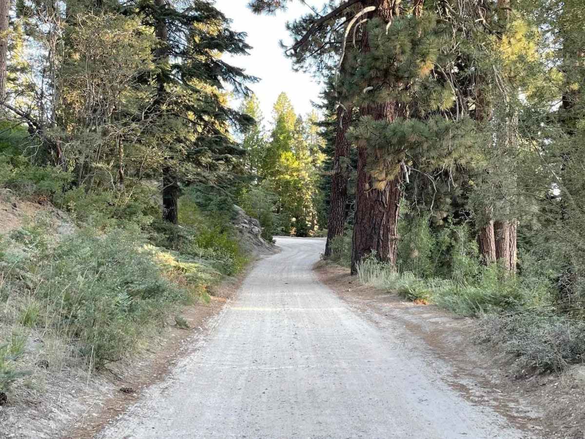
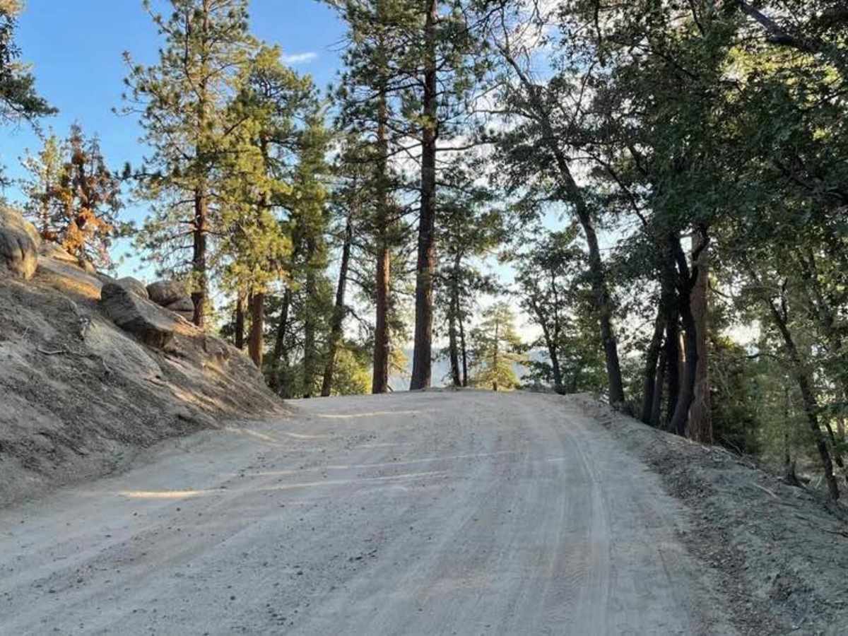
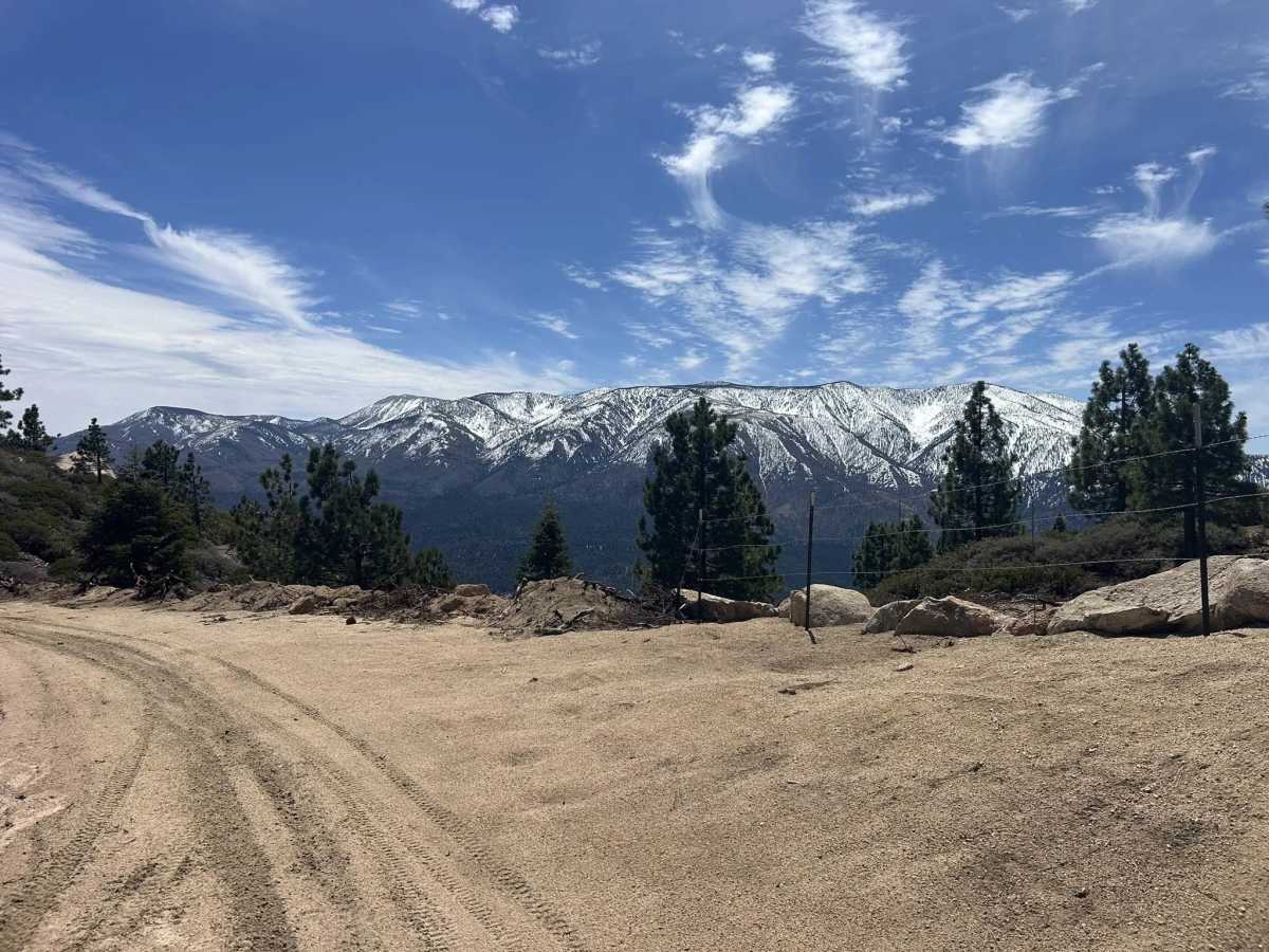
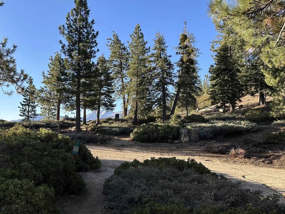
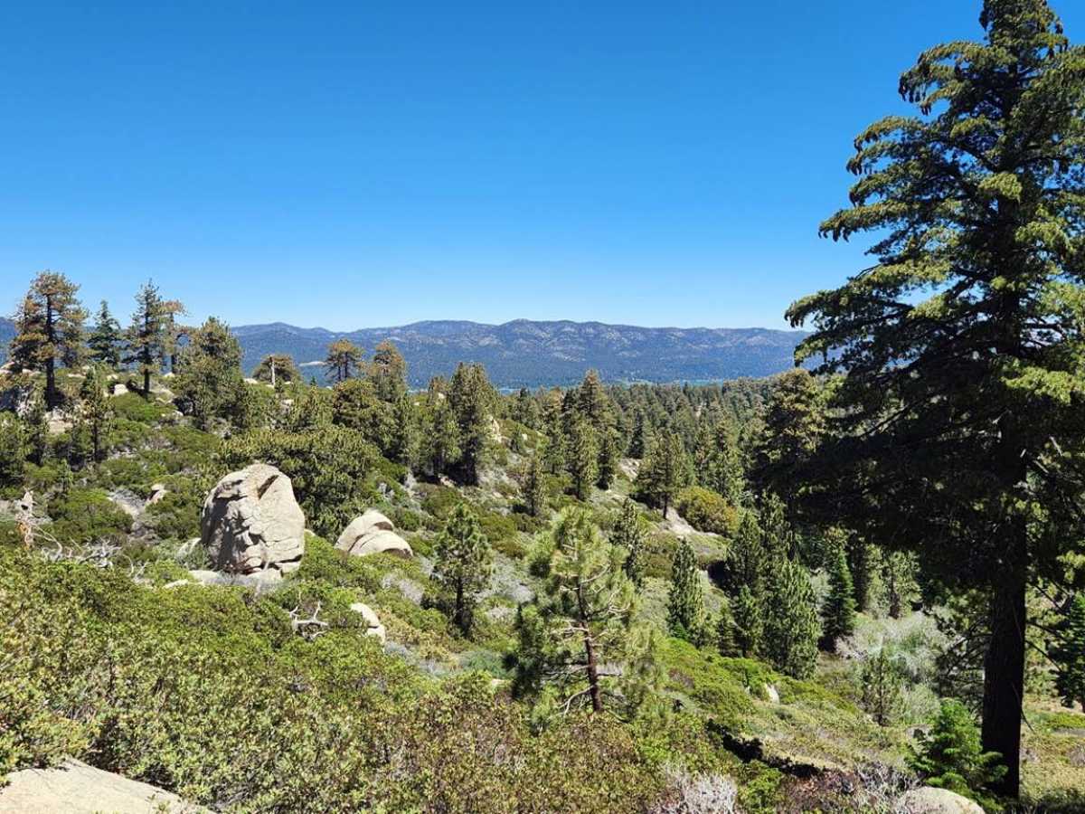
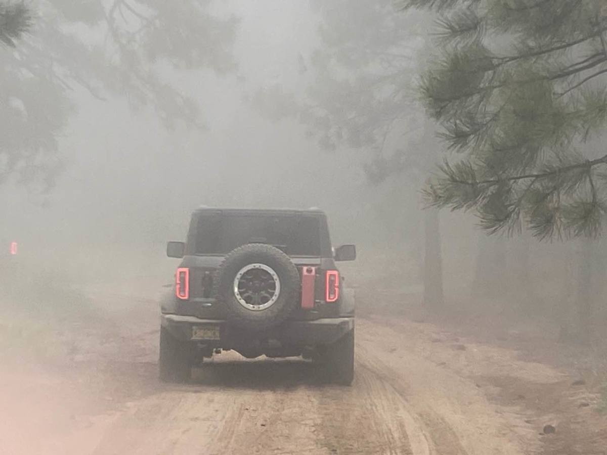
Nestled within the 823,000-acre San Bernardino National Forest, Mill Creek Road (FS 2N10) is one of Big Bear’s classic connector trails — a scenic mountain route that links many of the area’s most popular off-road adventures. Located just south of Big Bear Lake, it’s the road you’ll often end up on after climbing up the mountain via trails like Clark’s Grade (FS 2N06). This route is an easy, well-graded road that is suitable for nearly any high-clearance vehicle, including stock 4x4s. It’s a perfect way to cool down after a tougher trail, or simply to take in some of the most beautiful forest scenery in the Big Bear Mountains without breaking a sweat. As you wind along the trail, you’ll be surrounded by a lush conifer forest, where towering Ponderosa pines, Jeffrey pines, and cedars shade the road. The forest canopy opens occasionally to reveal the rugged granite formations Big Bear is known for, and there are plenty of pullouts and overlooks where you can stop to enjoy the stillness, take photos, or spot wildlife. Between the shaded forest stretches, granite vistas, and easy-going terrain, Mill Creek Road embodies everything that makes Big Bear special — peaceful, scenic, and endlessly explorable. Whether you’re out for a casual afternoon drive, linking trails for a full-day off-road adventure, or simply chasing cooler mountain air, this route is a must-do for any Big Bear visitor.
History
Long before Euro-American settlement, the region that includes what is now the San Bernardino National Forest was used by Indigenous peoples, for example, the Serrano (often called “Yuhaviatam” or People of the Pines), who spent summers in the mountains gathering, hunting, and living. The general area of Mill Creek Canyon (and the broader watershed) was one such summer zone—accessible via old trails, streams, and mountain passes. The name “Mill Creek” itself derives from early saw-mill operations in the canyon: one of the first sawmills in the region was built in Mill Creek Canyon circa 1853. Because of the presence of timber and reliable streamflow in Mill Creek—that stream “never went dry during Summer, nor froze during Winter” in early records—it became an important timber source for about 30 years. To facilitate logging and transport of lumber, access roads and wagon trails began to be carved into the mountains. Over time, these routes morphed from logging tracks into general access roads for miners, settlers, and ultimately recreation. Meanwhile, the broader Big Bear area was affected by gold and silver rushes (e.g., William F. Holcomb in 1859) and then by tourism and recreation as roads improved. Access into Big Bear Valley was initially challenging—wagon roads, stage routes, and early motorized transport all pushed through logging roads and pathways originally built for resource extraction. The corridor that the modern Mill Creek Road (and surrounding forest roads) travels was gradually upgraded from logging or timber roads into more usable forest access roads by the early 20th century. Over time, the route became increasingly used not only for resource access but for recreation, scenic driving, trailheads, hiking, mountain biking, and off-road vehicle use.