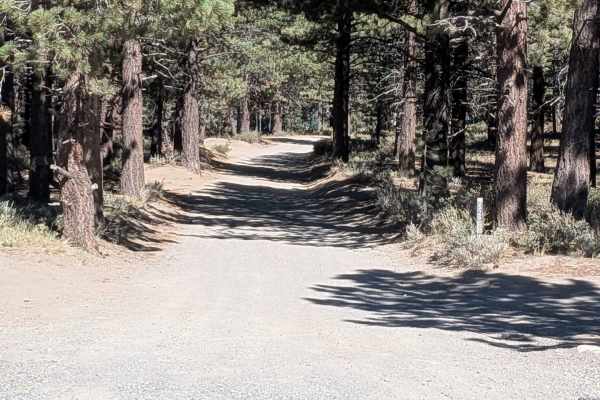
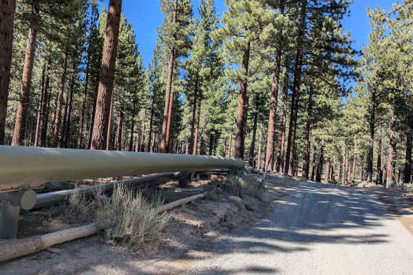
Trail Overview
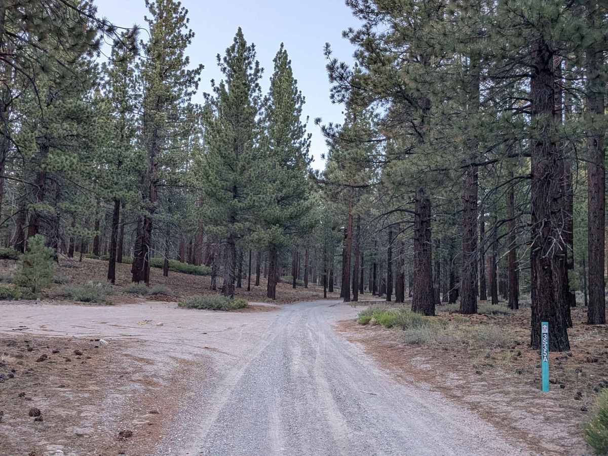
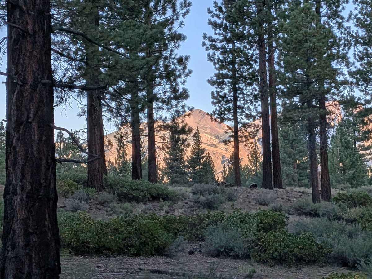
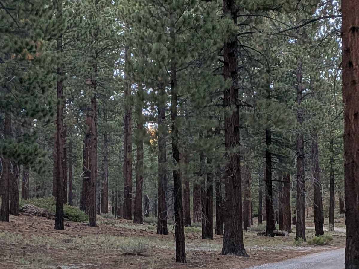
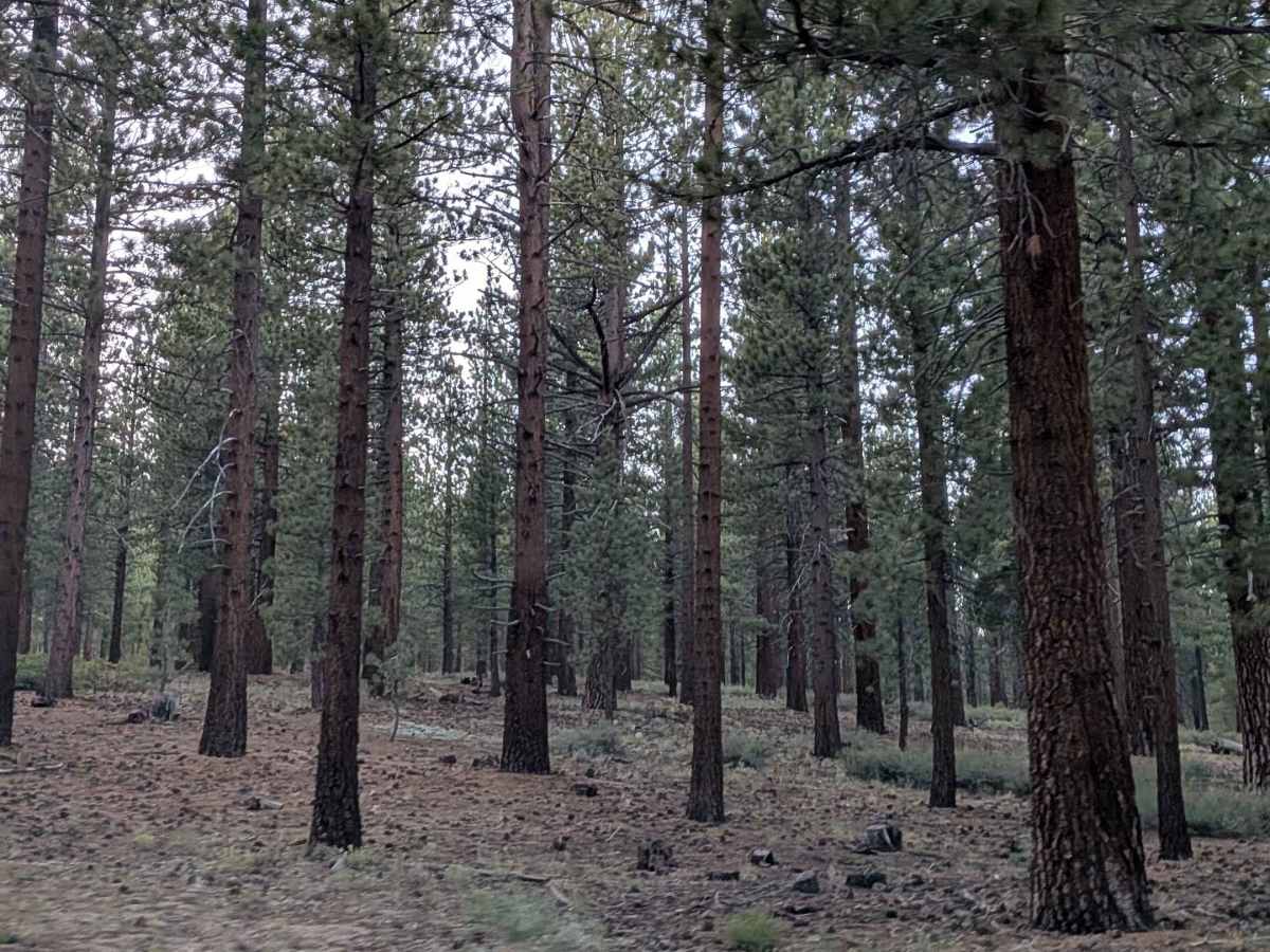
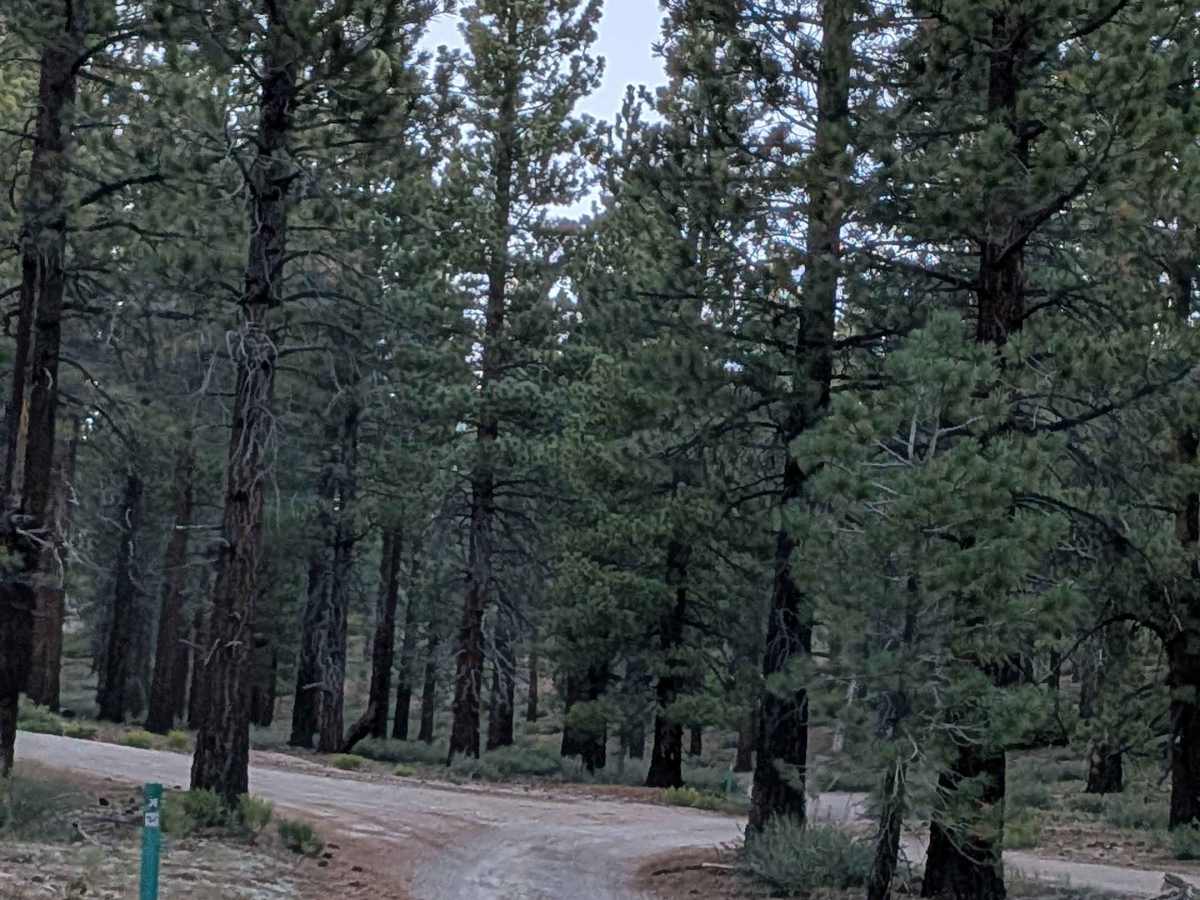
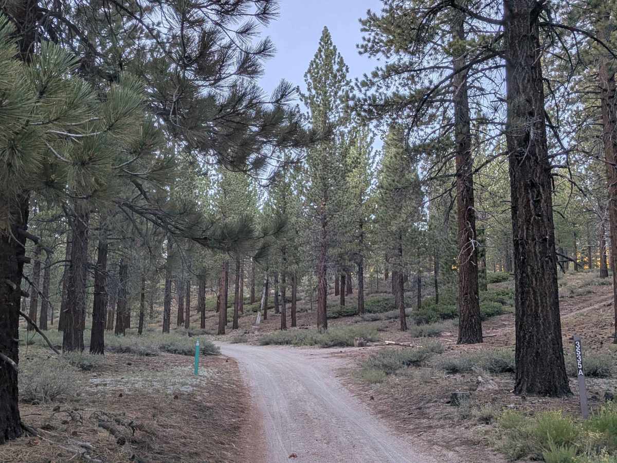
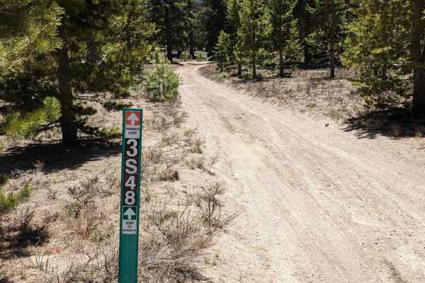
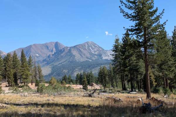
Manzanita Spur FS3S35A is a gentle, scenic trail that winds through a wide, open section of forest just outside Mammoth. Surrounded by gradually rising hills on both sides, the trail offers expansive views of pine trees, brushy meadows, and distant glimpses of the Eastern Sierra. Its openness makes it feel peaceful and airy, especially with sunlight filtering through the sparse tree canopy. The terrain is mostly sandy with no rocks, making for a smoother ride than many nearby options. A series of gentle whoops keeps things interesting but not technical, and the trail forms a full loop that can be driven in either direction. There are numerous dispersed camping spots tucked just off the trail, offering quiet places to post up under the trees. This is a perfect choice for those looking for a calm and pretty off-road drive with light elevation changes, beautiful scenery, and easy access for most high-clearance vehicles.
Difficulty
This is an easy and relaxing trail suitable for stock high-clearance vehicles and even soft-roaders. There are no technical features, no rocks, and no steep climbs or descents. The sandy surface and occasional whoops are the only elements to watch for, but they don’t require any special driving skills. Great for beginners, scenic cruisers, or anyone looking to explore the forest without pushing their rig too hard.