Trail Overview
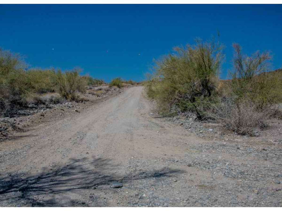
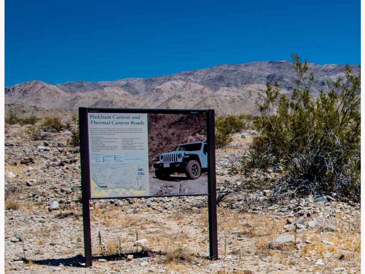
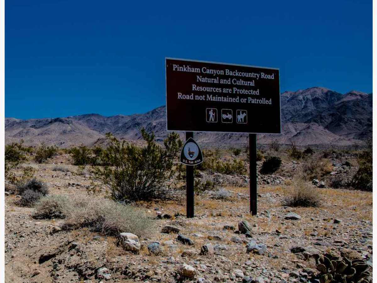
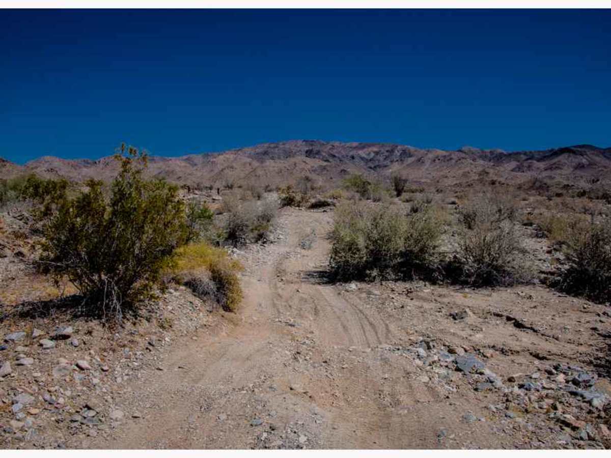
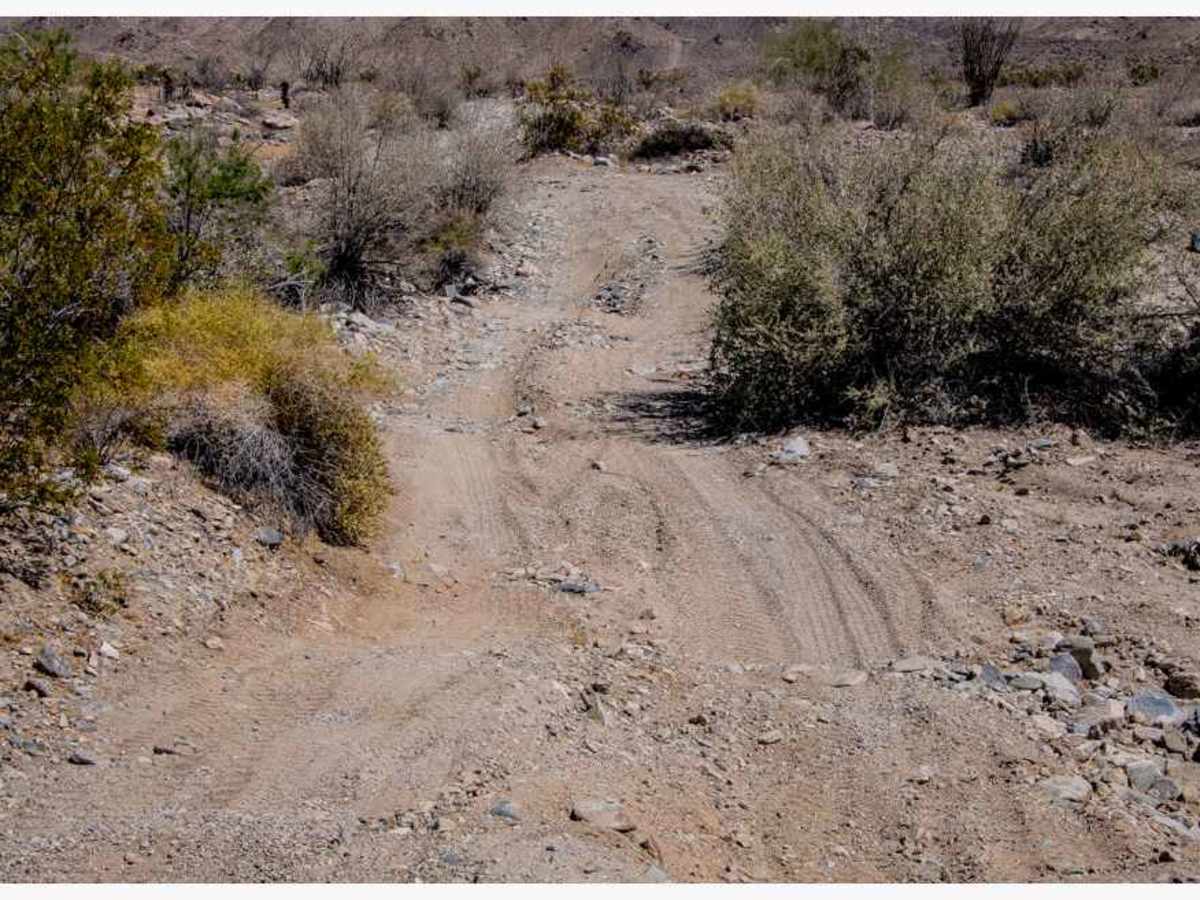
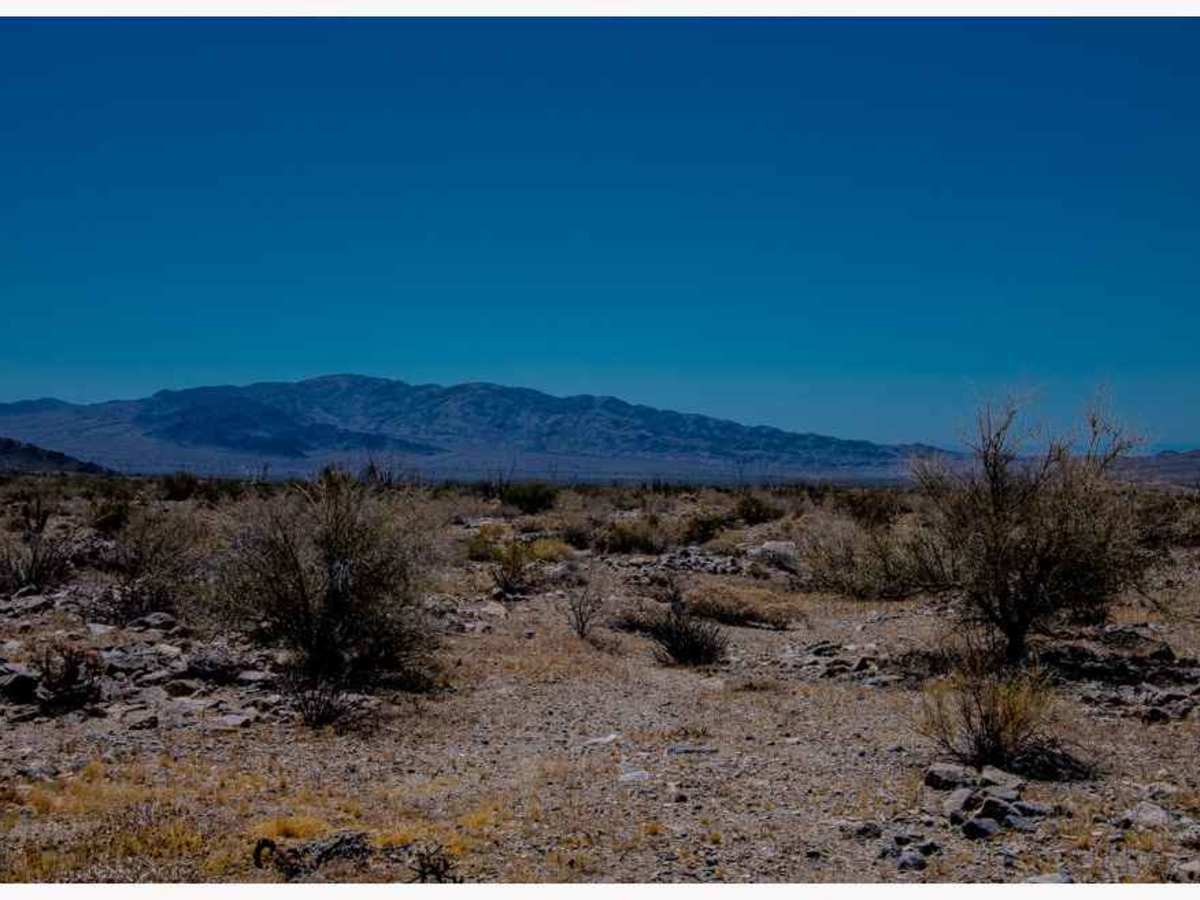
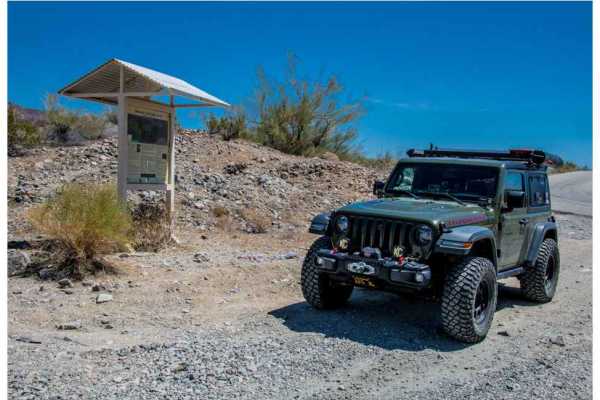
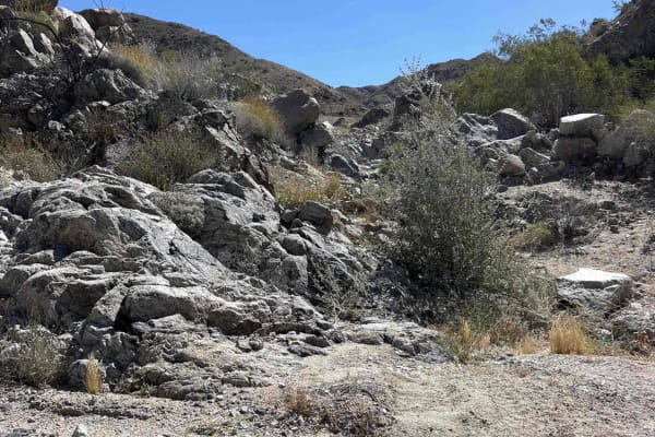
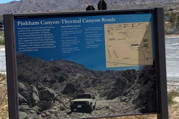
Pinkham Canyon Road can be accessed from Joshua Tree National Park. To access the Pinkham Canyon Trail from the BLM trailhead. Exit I-10 from either East or West to the Frontage Road off-ramp. Stop at the BLM kiosk to air down, then continue on the California River Aqueduct Road, which is owned by the Metropolitan Water District. Various private and other agencies hold rights to the road. It is essential to adhere to the main road and avoid taking any side roads. The trailhead to the Pinkham Canyon Trail is located 3.1 miles along the California River Aqueduct Road. The initial 150 yards of the trail are situated on BLM land, followed by the boundary of Joshua Tree National Park, where there are boundary markers and informational signs. The trail continues for 6.1 miles, eventually joining the Pinkham Canyon Road/Trail, which leads to the Cottonwood Visitor Center within Joshua Tree National Park, at a distance of 13 miles. At this point, you can take the Thermal Canyon Road to the left, which will lead back to the California River Aqueduct Road. The terrain in this area consists of a combination of soft and firm sand, interspersed with rocks partially buried and small rocky wash crossings. A notable obstacle at (33° 44' 18.86" N 115° 58' 30.22" W) is a short rocky stair step that can be easily navigated by maintaining a proper line. Any stock high-clearance 4WD vehicle should be capable of traversing this terrain. In wet weather, the NPS (National Park Service) may close access. If leaving on a trip, check the Joshua Tree National Park website for trail closures. https://www.nps.gov/jotr/planyourvisit/backcountry-roads.htm - https://www.nps.gov/jotr/planyourvisit/conditions.htm - there is a link to a map of closed roads.
Difficulty
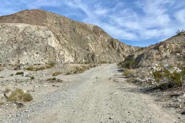
The terrain in this area consists of a combination of soft and firm sand, interspersed with rocks partially buried and small rocky wash crossings. A notable obstacle at (33° 44' 18.86" N 115° 58' 30.22" W) is a short rocky stair step that can be easily navigated by maintaining a proper line. Any stock high-clearance 4WD vehicle should be capable of traversing this terrain. In wet weather, the NPS (National Park Service) may close access. If leaving on a trip, check the Joshua Tree National Park website for trail closures. https://www.nps.gov/jotr/planyourvisit/backcountry-roads.htm - https://www.nps.gov/jotr/planyourvisit/conditions.htm - there is a link to a map of closed roads.
History
The Pinkham Canyon Trail in Joshua Tree National Park is a historical, roughly 20-mile, off-road route named after Chester Pinkham, a figure active in the area before the park’s establishment in the 1930s. It passes through Smoke Tree Wash, Pinkham Canyon, and connects to the historic, now-abandoned Snow Cloud Mine, which was reportedly worked by Pinkham and Bill Keys.