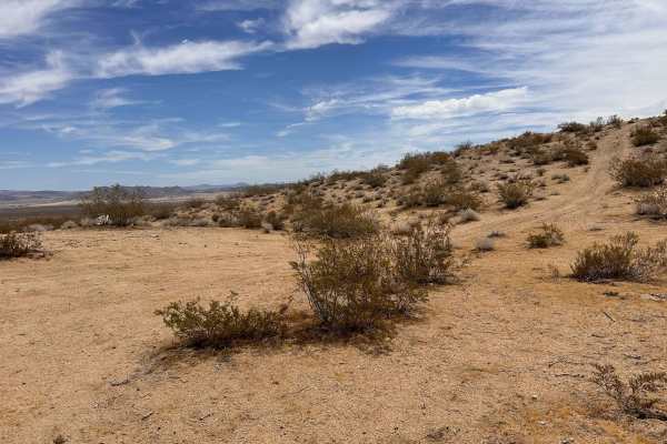
Trail Overview
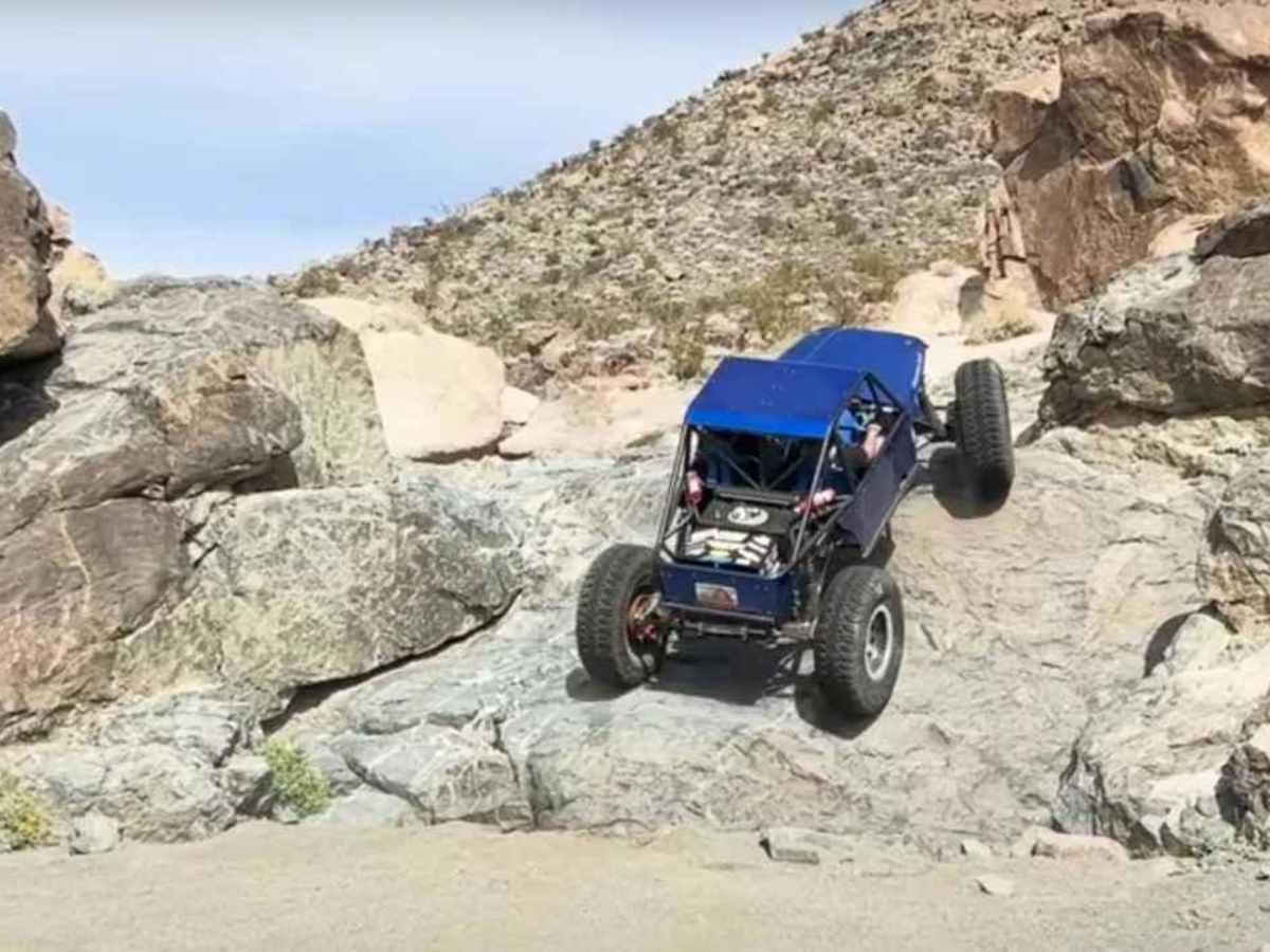
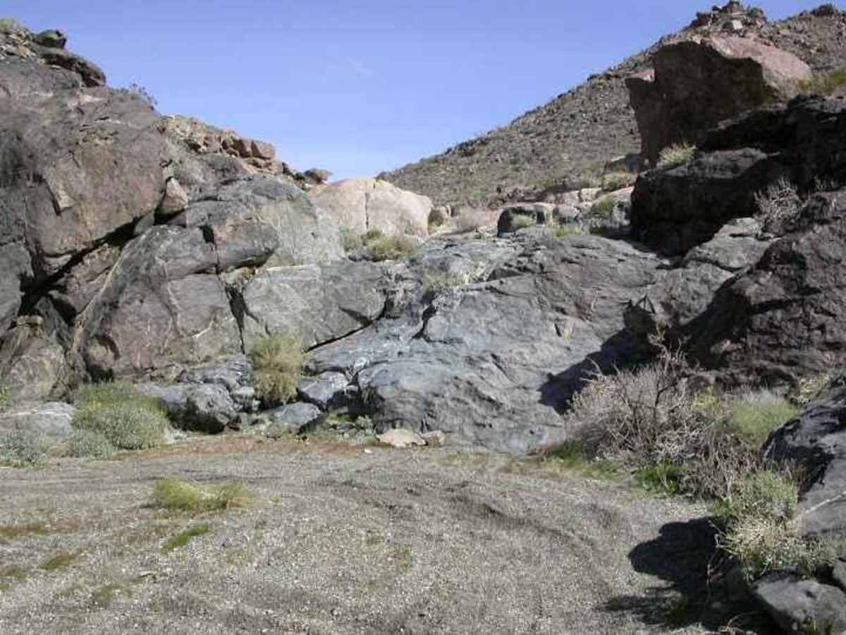
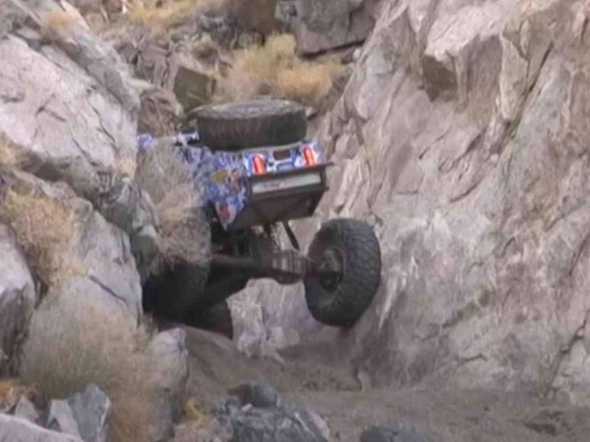
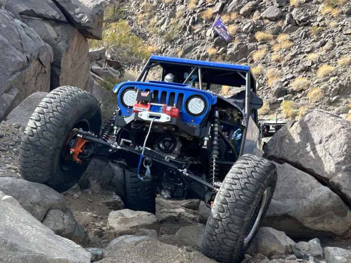
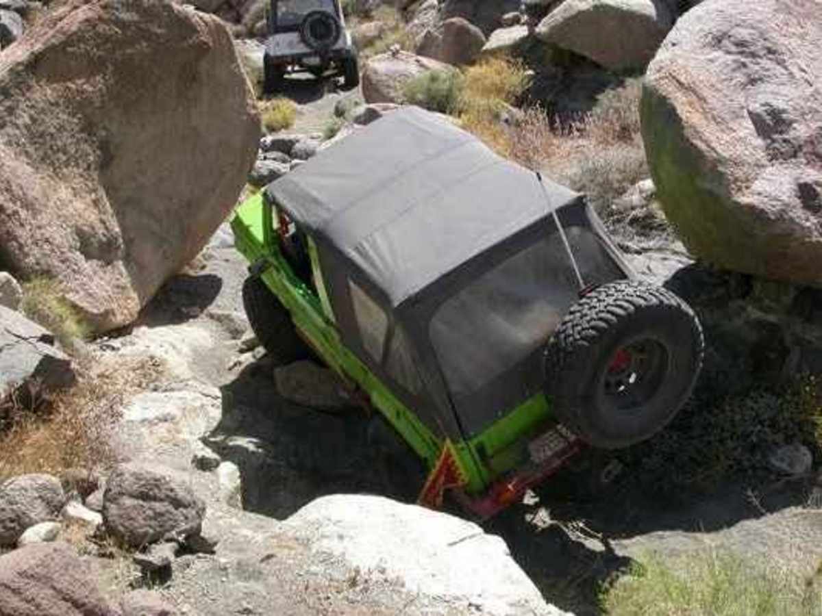
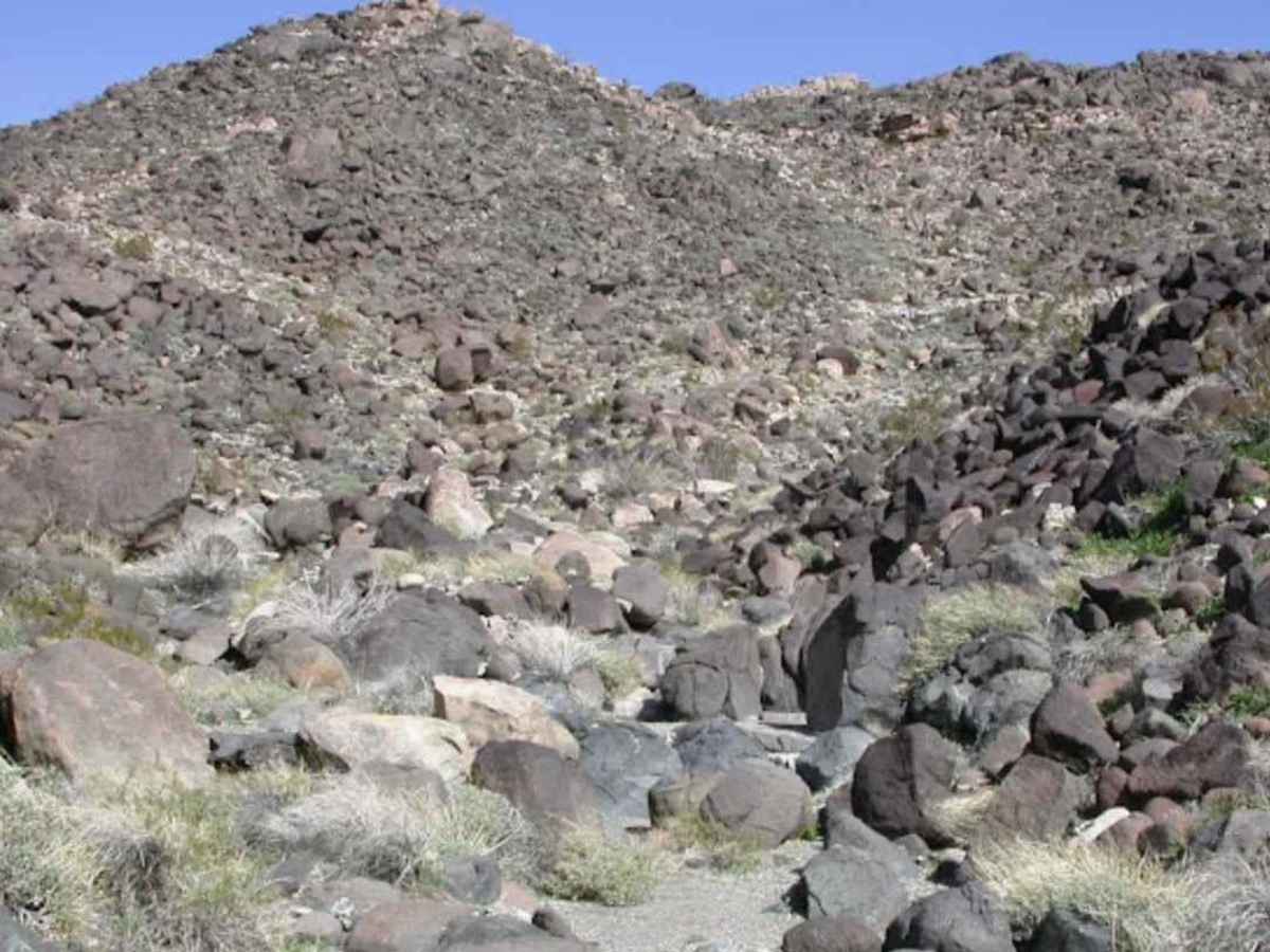
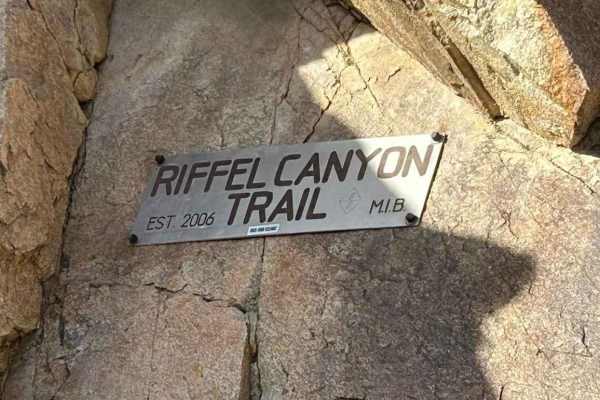
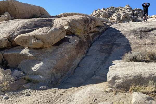
Lower Crowbar is a 1.2-mile point-to-point trail rated 8 of 10 located in the Soggy Dry Lake area in the Fry Mountains. This area is part of the overall Johnson Valley OHV area. There are several lesser-known but more difficult trails in this area. This trail, built by the Spinnin' Fours 4x4 Club, was opened in April 2005. The gatekeeper obstacle on Crowbar is called Ballerina Rock, a 12 to 15-foot, steep slick rock (water-worn smooth) waterfall. Other obstacles on this trail include a chute called "Sunday Drive", a squeeze through two boulders larger than most vehicles as well as a couple of other spots as well as a couple of nice off-camber spots, and you have Crowbar. For those that run Riffel Canyon running Lower Crowbar from the top down and descending Ballerina Rock is the last obstacle on the trail. Don't expect any cellphone service in the area. The nearest services are in Lucerne Valley and Apple Valley to the south and Barstow to the north.
Difficulty
This trail has several obstacles to watch out for. This is for experienced riders only. The gatekeeper obstacle on Crowbar is called Ballerina Rock, a 12 to 15-foot, steep slick rock (water-worn smooth) waterfall. Other obstacles on this trail include a chute called "Sunday Drive", a squeeze through two boulders larger than most vehicles as well as a couple of other spots as well as a couple of nice off-camber spots, and you have Crowbar.