Trail Overview
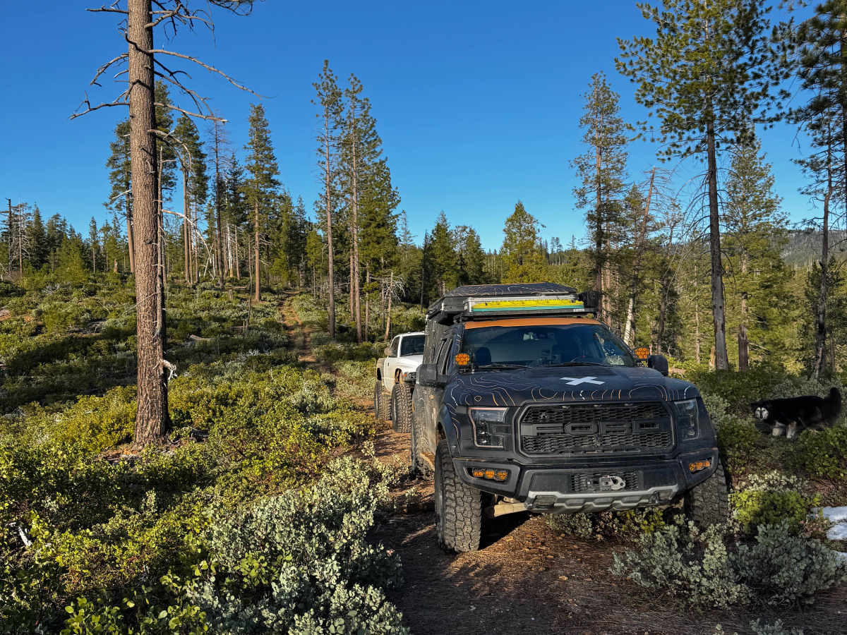
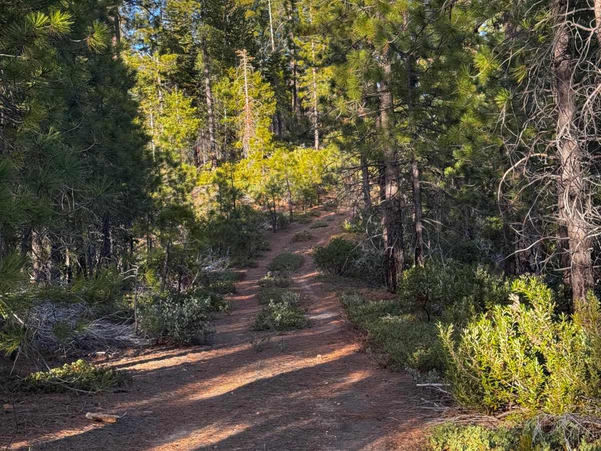
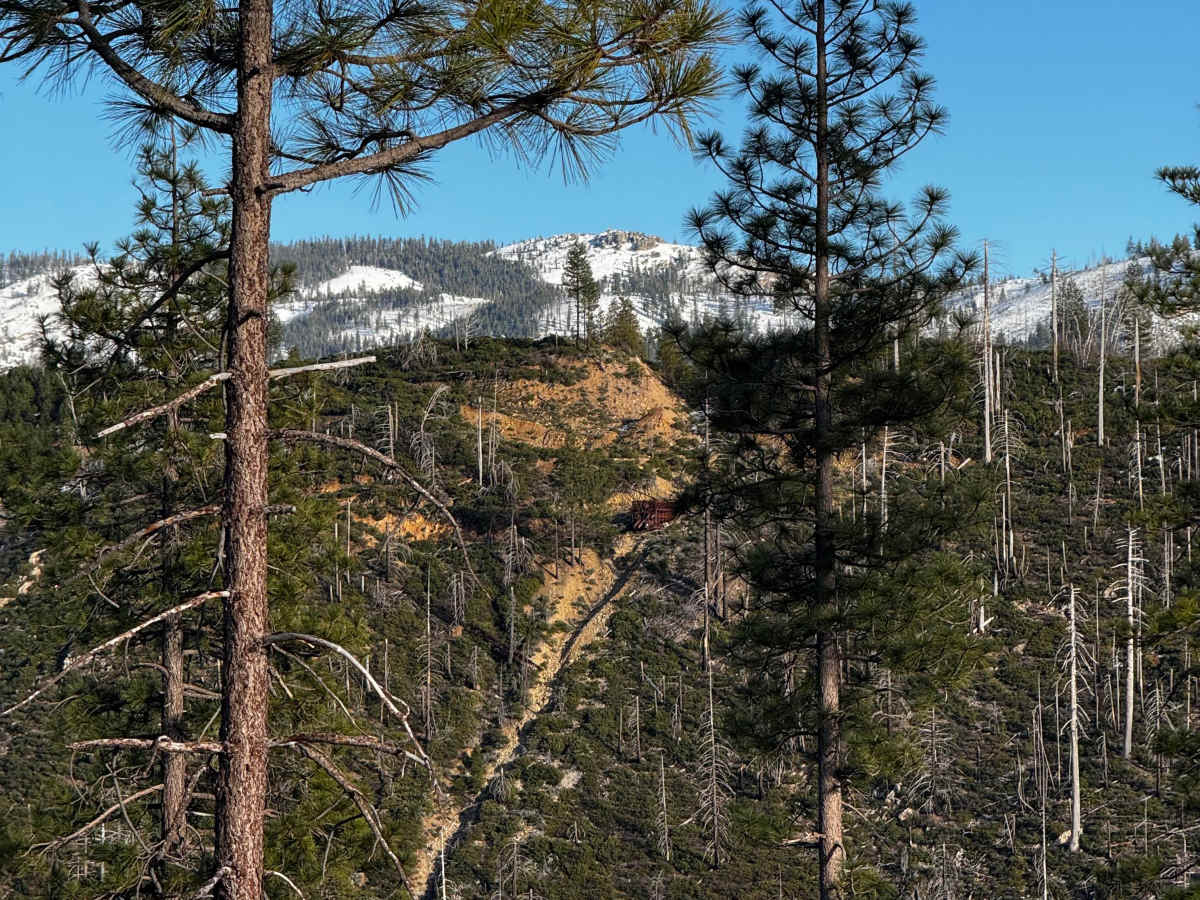
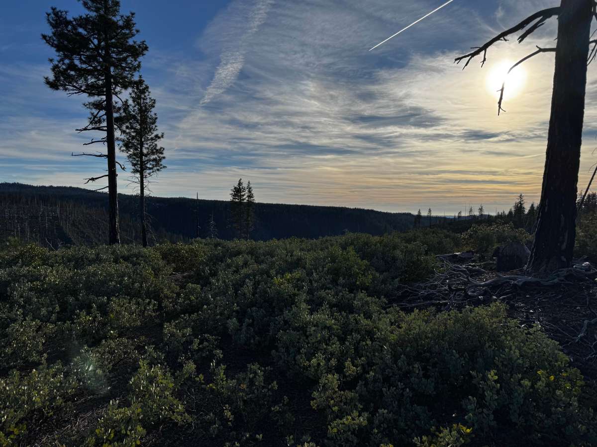
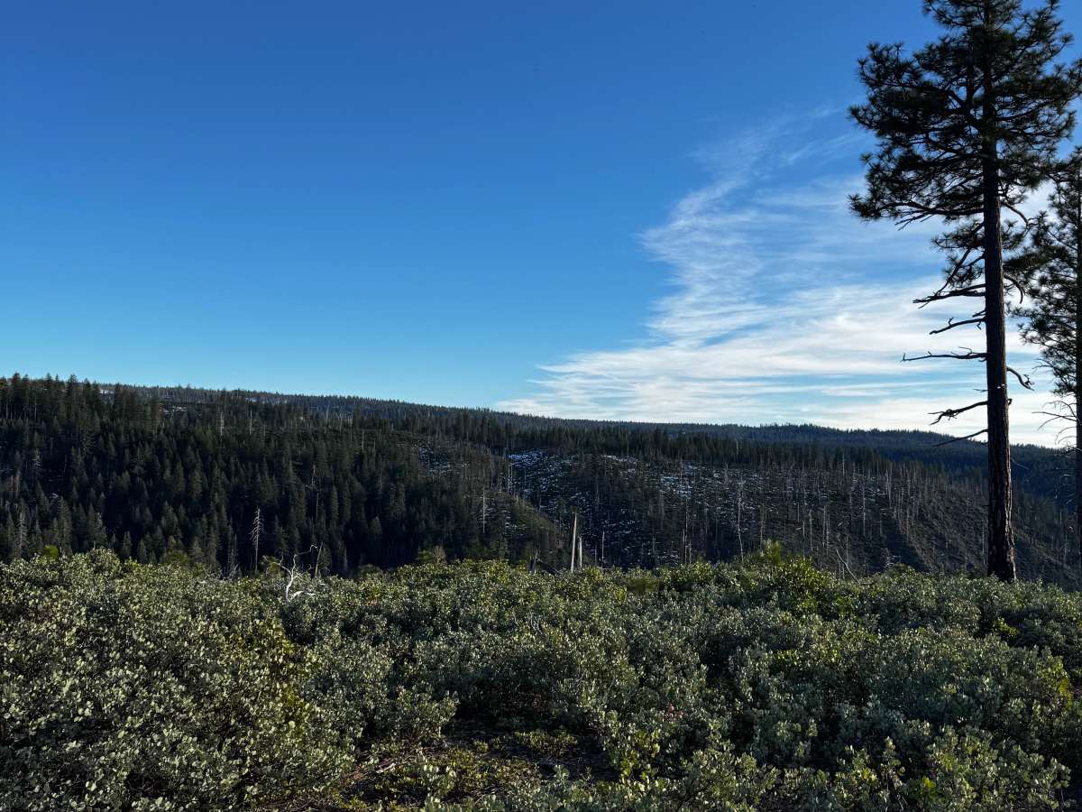
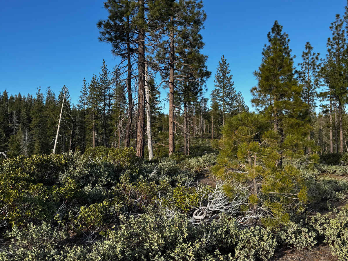
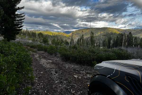
Lost Canyon is an easy 1.3-mile ridgeline descent in the Tahoe National Forest that is perfect for scenic-focused offroaders and campers looking for a secluded spot. Branching off Secret Ridge, the single-vehicle wide route winds down a forested spine, dropping roughly 328 feet from a maximum elevation of 5,262 feet to its terminus at 4,892 feet. Along the descent, multiple natural clearings open up, providing sweeping views of the surrounding rugged canyons, including Black Canyon and Dark Canyon to the west. While the trail is highly accessible, the initial section of the route briefly crosses private logging property before transitioning onto public National Forest land, meaning visitors must respect posted boundaries and stay on the designated path.
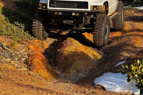
The trail ends at a well-established dispersed campsite that serves as an excellent basecamp for exploring the surrounding network of dirt roads. Rated as a highly manageable difficulty, the surface is primarily dirt and can be navigated by most high-clearance vehicles, though the single-lane width means drivers should watch for oncoming traffic and utilize available turnouts. Winter and shoulder-season travel is possible, but snowy or icy conditions will make the steeper, off-camber sections slick and challenging, and access roads like Secret Ridge may become impassable without proper winter recovery gear. Nearby landmarks like American Hill and Antoine Canyon add to the historical feel of this Sierra Nevada backcountry route.
Access Description
The first part of the trail briefly crosses private logging property before entering public Tahoe National Forest land. Stay on the designated trail and respect posted property lines. Winter travel is possible, but access roads like Secret Ridge may be impassable due to snow.

 Offroad