2 trails found in California
Which "loop 4" are you looking for?
We found 2 off-road trails in California matching your search. Pick the one you're looking for below.
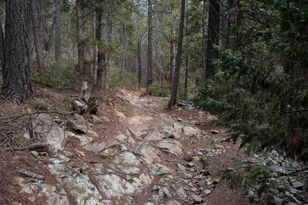
Loop 4
Loop 4 leaves directly from the Sugar Pine Staging Area and makes a 6.6-mile-long, moderately easy ATV loop. The trail mixes easier sections with more moderately technical terrain, through a dry forest environment featuring Ponderosa pine, western yellow pine, manzanita, juniper bushes, and dusty re...
Learn more about Loop 4
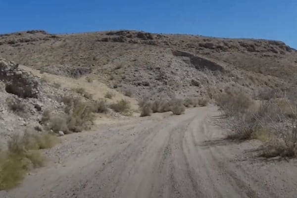
Cady Mountain Loop - Part 4
This section of the Cady Mountain Loop starts at an old abandoned oil well and continues east, paralleling the Cady Mountains off to the left. It remains mostly hard-packed dirt but has more sections of sand, some being deep and possibly requiring 4-wheel drive. The trail gets tight in a few section...
Learn more about Cady Mountain Loop - Part 4