2 trails found in California
Which "loop 2" are you looking for?
We found 2 off-road trails in California matching your search. Pick the one you're looking for below.
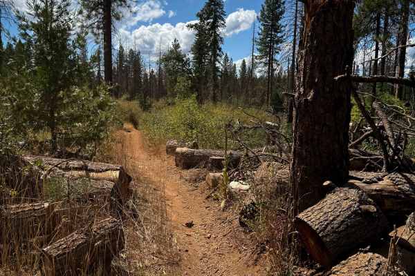
Loop 2
Loop 2 is a long, but easy, single track within the Foresthill OHV System. There aren’t any major rock obstacles throughout the 7-mile route, but there are lots of tight twisty turns, a few logs down that you have to ride over, and some small climbs and easy switchbacks that keep it interesting. The...
Learn more about Loop 2
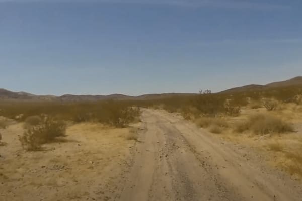
Cady Mountain Loop - Part 2
This section of the loop starts where Loop 1 (AC9602) meets trail AC9476. Make a sharp right turn and continue southwest for 7 miles. The terrain remains mostly hard-packed but this section has some small drops in the trail and some whoops. This is again an easy track that is mostly straight with a ...
Learn more about Cady Mountain Loop - Part 2