Trail Overview
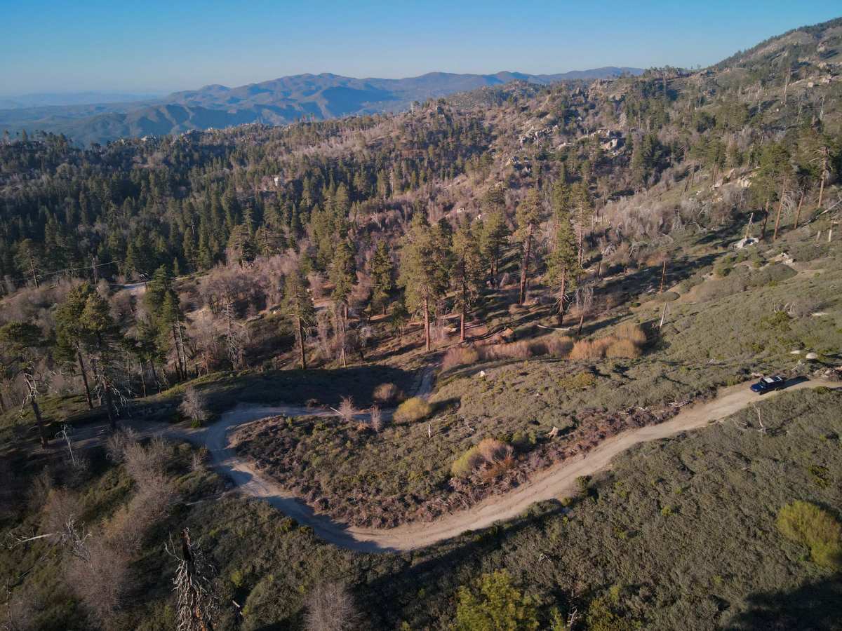
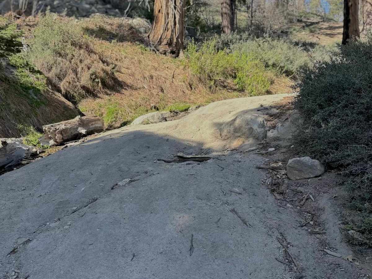
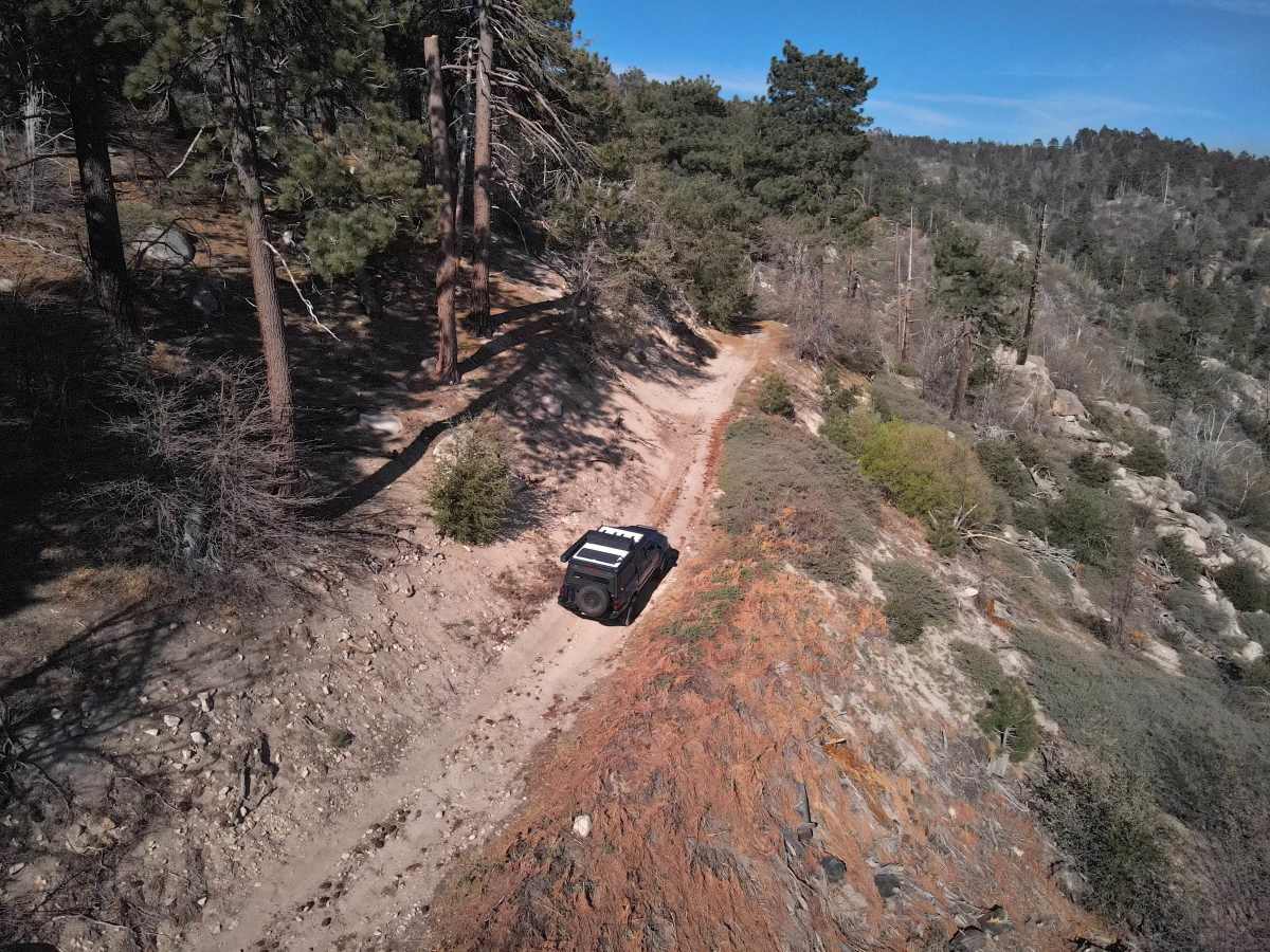
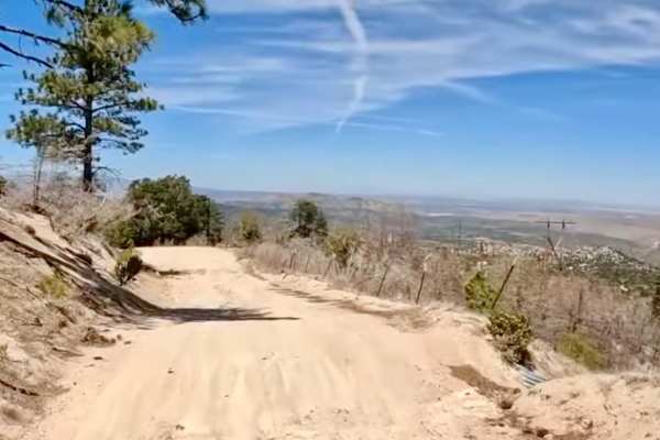
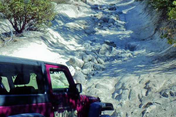
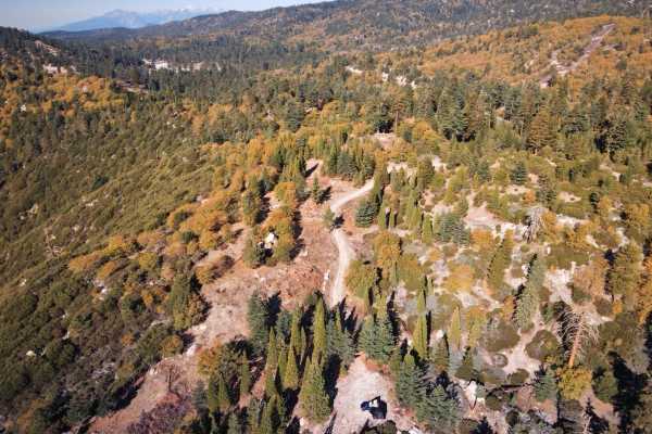
Little Green Valley is a scenic, moderately challenging 4x4 trail in the San Bernardino National Forest that offers intermediate offroaders an engaging mountain climb with rewarding views of Snow Valley and Slide Peak. Winding through the Arrowhead Ranger District just north of Running Springs, this trail is ideal for high-clearance 4x4s, OHVs, and SxSs looking for a mix of dirt paths, minor rocky obstacles, and uneven terrain without extreme technical difficulty. The route features a steep initial climb requiring steady throttle control, followed by sections of weather-worn ruts, minor off-camber stretches, and a few shelf-road segments where drivers should stay alert. Vegetation can crowd the trail during the summer months, potentially causing minor pin-striping, so choosing a careful line is key to navigating the narrower spots safely.
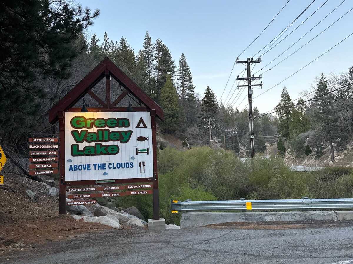
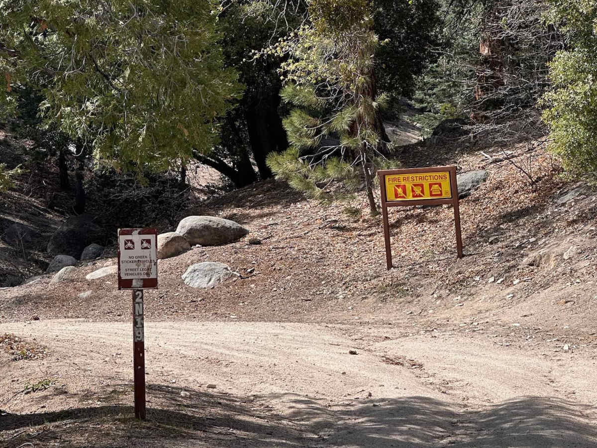
In addition to the dirt and rock sections, travelers will encounter small creek crossings and a spring-fed technical area that can become exceptionally slick and muddy after recent rains or spring snowmelt. The trail is typically accessible from late spring through early fall, though seasonal winter closures are common and gates may remain locked until conditions dry out. Positioned near the quiet alpine community of Green Valley Lake, this route provides easy access to nearby dispersed camping sites and established campgrounds like Green Valley Campground. Because the trail is shared with hikers and mountain bikers, maintaining a cautious speed around blind corners is essential for safety, and drivers should always confirm current gate statuses with the U.S. Forest Service before heading out.
Difficulty
This trail is a manageable but engaging forest trail with a few sections that elevate it beyond beginner level. Difficulty can vary with the weather and seasonal growth.
Key challenges include:
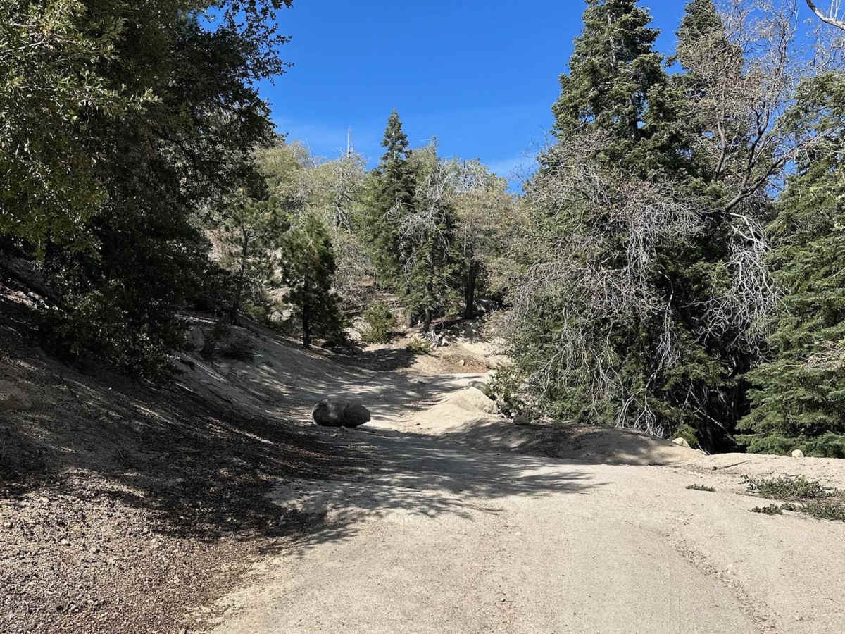
- Steep initial climb requiring traction and throttle control
- Rutted sections from runoff and use
- Small creek crossings that may deepen after storms or snowmelt
- Off-camber portions requiring careful line choice
- Shelf-road segments with narrower trail width
- Spring-fed technical section that can become slick or uneven
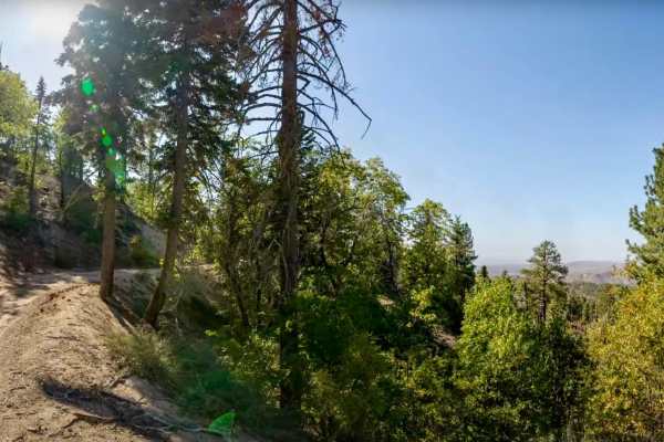
- Overgrown vegetation that may narrow the trail seasonally
Suitable for most high-clearance AWD/4WD vehicles in dry conditions. After storms, snow, or spring runoff, expect more difficulty.
Pro Tips:
- Best enjoyed in spring through fall, depending on snow levels
- Check for seasonal closures before departure
- Vegetation may cause pin-striping in summer
- Bring recovery gear if recent storms created mud or washouts
- Watch for hikers and mountain bikers
- Sunset near the top can be excellent for photos
History
This trail is part of the long-standing San Bernardino National Forest road and trail network originally used for forest management, recreation access, and fire response. Over time, it became known as a scenic recreation route connecting the Snow Valley and Green Valley Lake areas, with use by off-roaders, mountain bikers, and campers alike.

 Offroad