Trail Overview
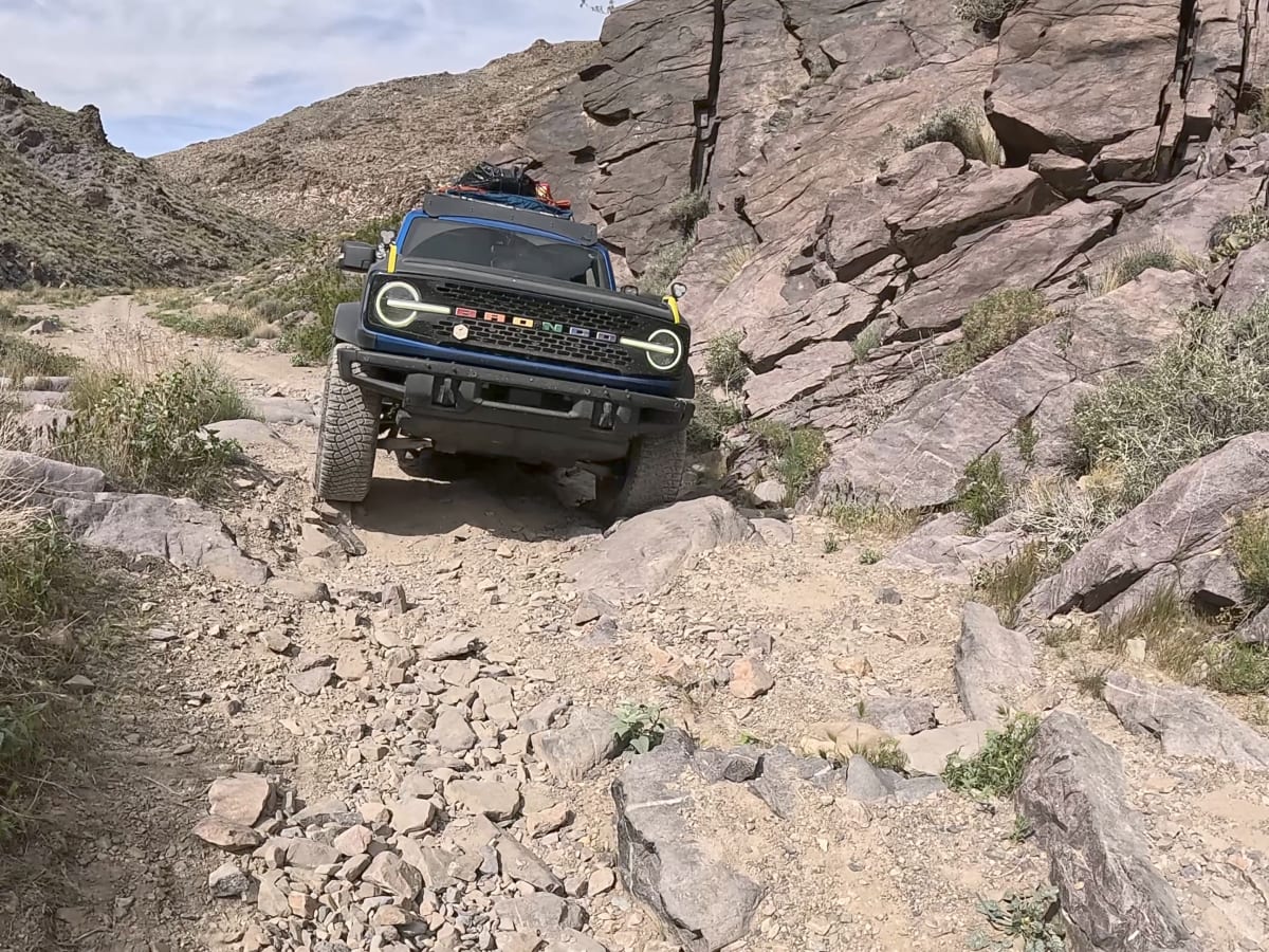
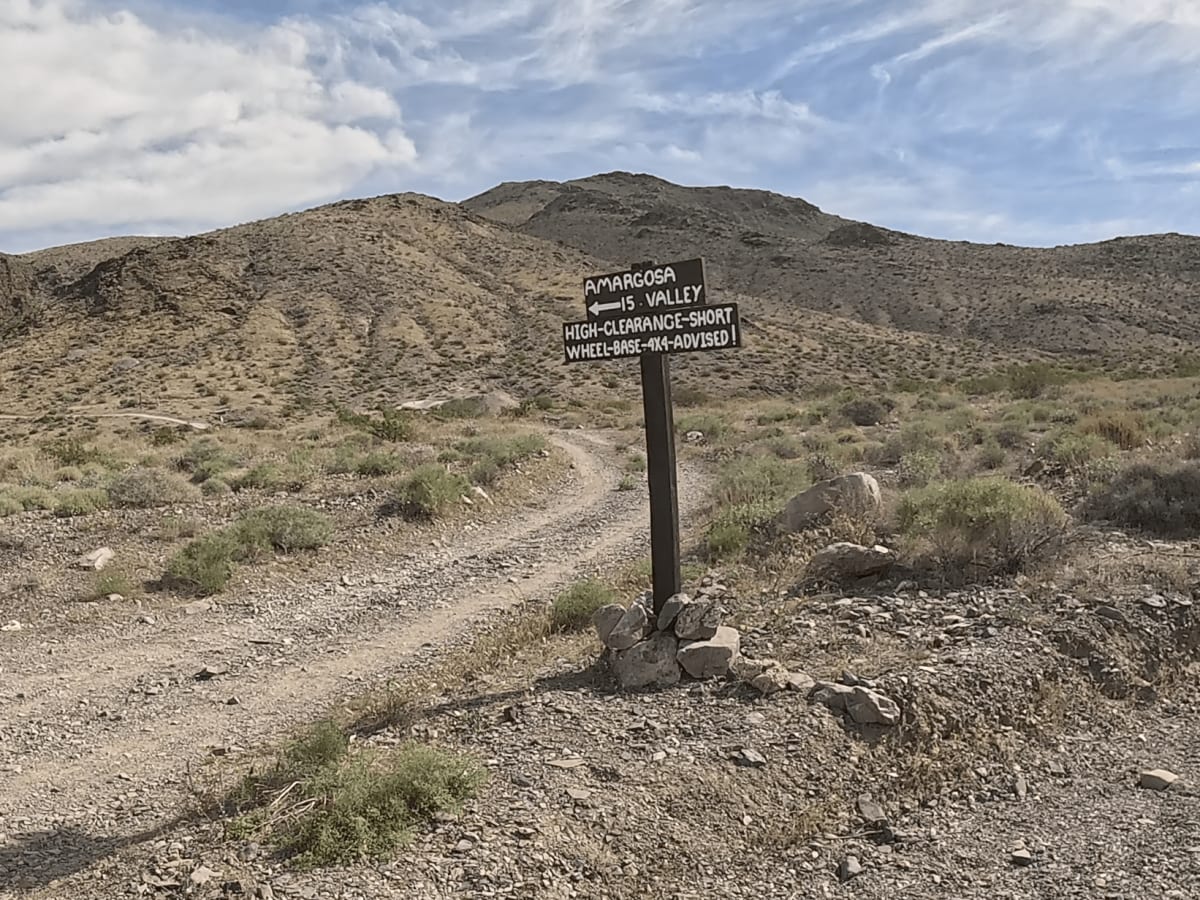
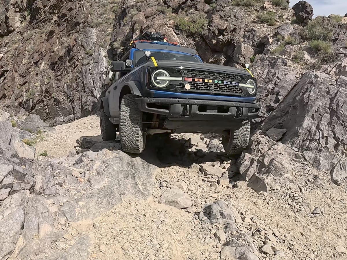
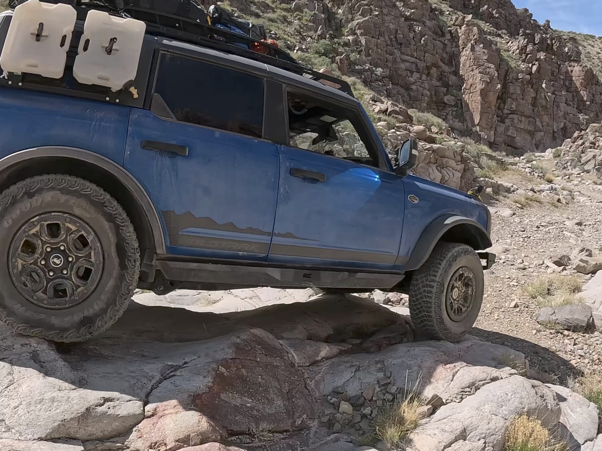
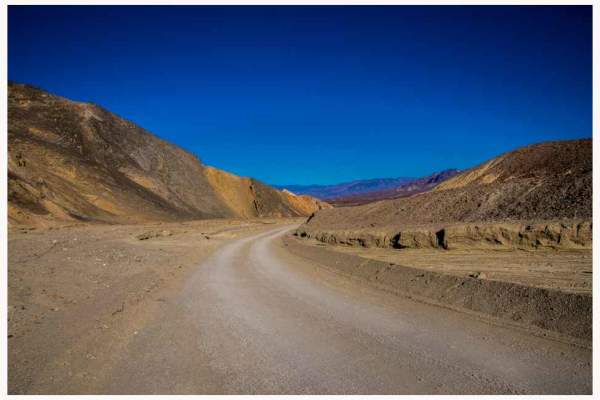
Just before the actual Inyo Mine, the road forks northeast and starts to climb. A direction that favors most drivers, since tackling obstacles on the way up tends to beat picking through them on the way down. The first stretch winds through rolling hills with wide-open views in every direction, and then you're down in canyons and back again, with a few flat, level spots along the way that would make for decent camping, if you're planning to stay over rather than run it in one push.
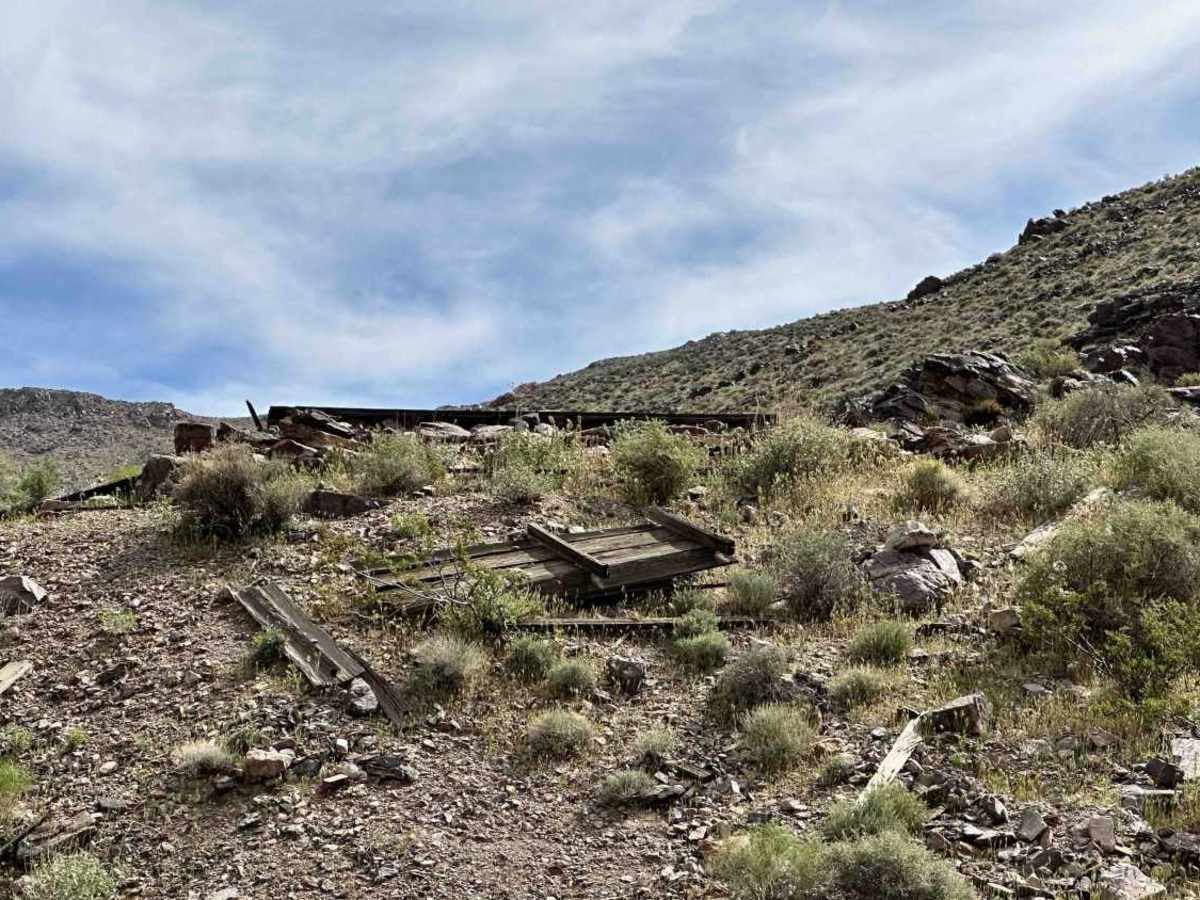
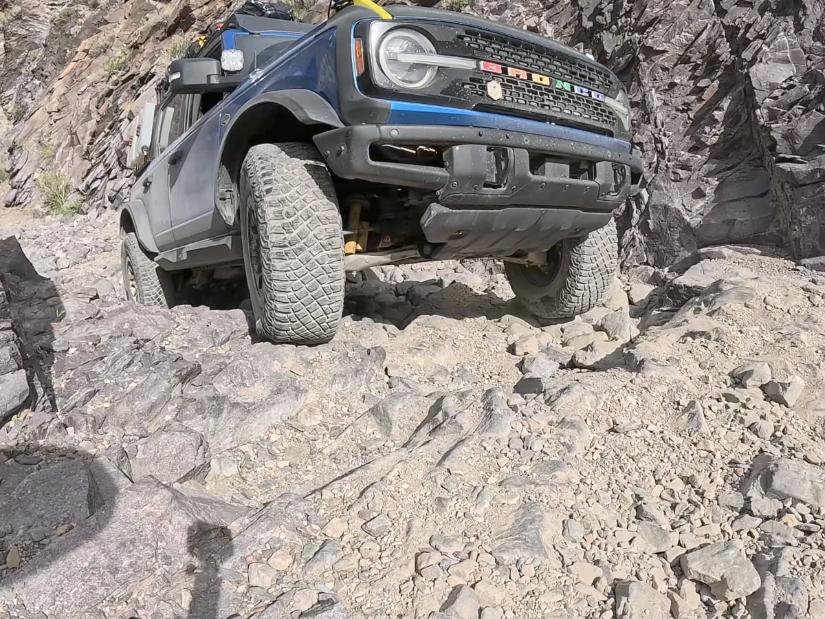
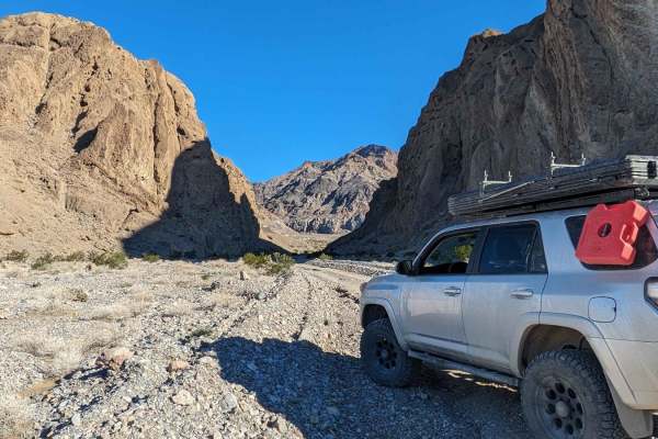
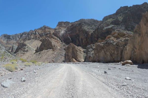
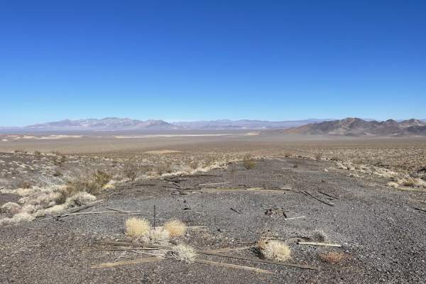
Keep going, and the terrain tightens up, threading into narrower canyon sections where the trail passes several old mining sites and scattered ruins — foundations, tailings, and the odd pieces of rusted equipment worth pulling over for. It's a good stretch for anyone who likes to poke around rather than just drive through.
Budget 2-3 hours (for the actual trail itself) for a straight run end to end, maybe less if you're moving quick and skipping the stops. But if you're the exploring type, happy to hop out at every ruin and old mine site, this one can easily fill an entire day.
This trail is good most of the year. However, extreme heat in the summer isn't for everyone. If you do go during the summer, make sure to carry plenty of Extra Fuel & WATER.
Check the forecast for any major storms. Canyon is subject to flash flooding and washouts.
History
This route runs through the old **Echo-Lee Mining District**, born from a 1905 gold strike at what became the Inyo Mine — one of the largest producers on this side of the Funeral Mountains. Past the mine, this road follows a former railroad grade once used to haul ore out toward Leeland, a stop on the Tonopah & Tidewater line, now reduced to scattered foundations near the California-Nevada line. Like most desert gold camps, the boom was short and shaky — stalled by summer heat, dry wells, and a couple of failed stock sales — with the last serious work wrapping up around 1940. What's left today is a quiet stretch of district history most visitors never see past the mine.