Jawbone to Lake Isabella

Total Miles48.7
Technical Rating
3Easy
Best TimeWinter, Spring, Summer, Fall
Trail TypeFull-Width Road
Accessible By
Open Trail Map

Trail Overview

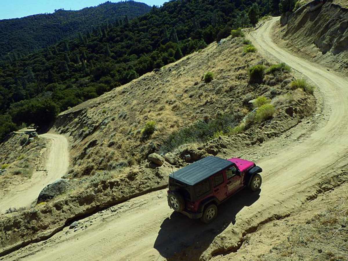
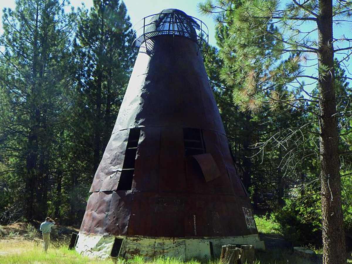
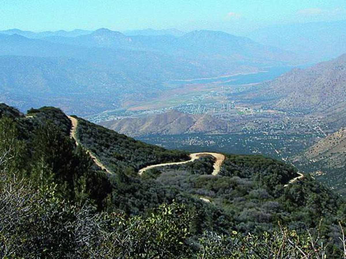
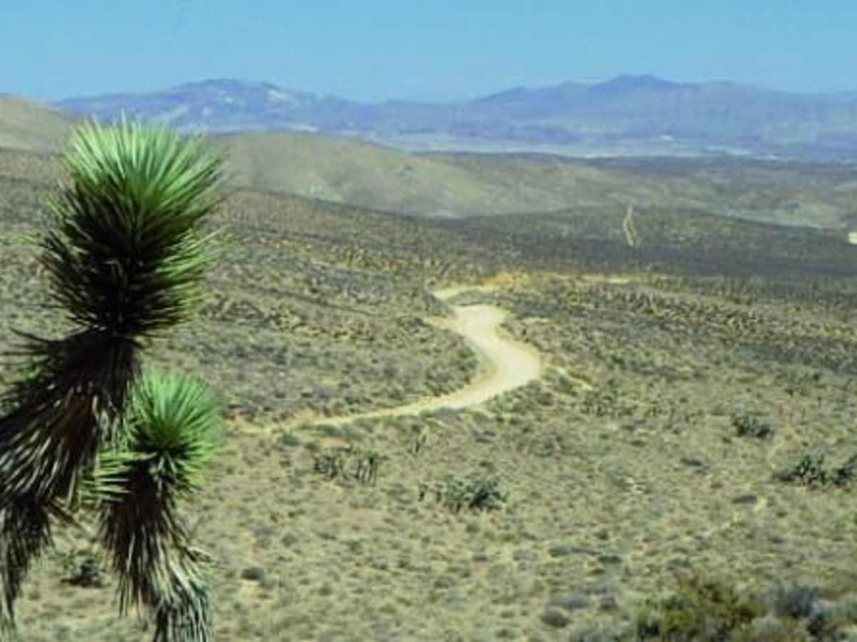
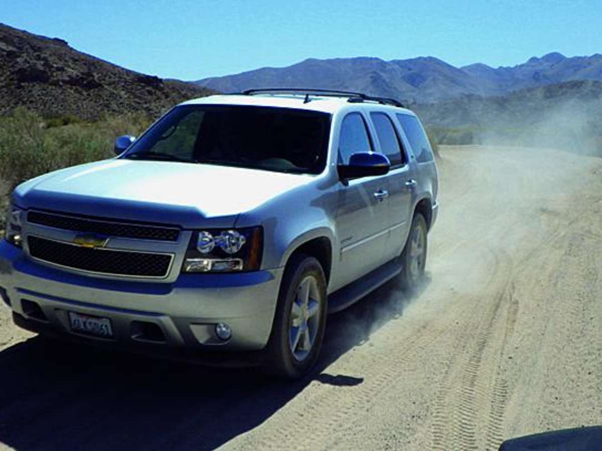
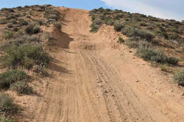
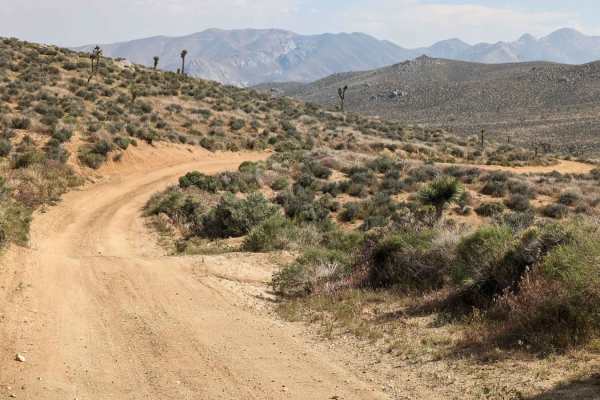
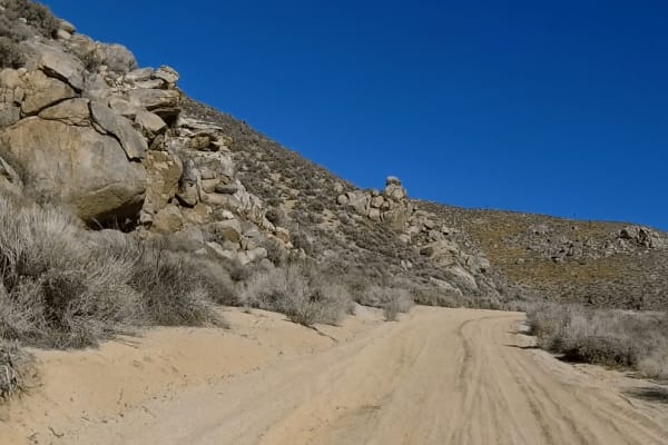
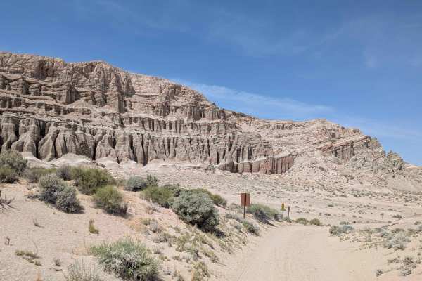
Jawbone to Lake Isabella is a scenic, long-distance dirt route perfect for high-clearance SUV and truck owners looking to transition from the sprawling high desert of the Mojave up into the cool, pine-covered heights of the Piute Mountains. Covering approximately 48.7 miles, this point-to-point journey starts at the Jawbone OHV Area around 2,565 feet of elevation and climbs to a peak of nearly 8,200 feet within the Sequoia National Forest, before descending rapidly toward the shores of Lake Isabella. Rated a 3 out of 10, the path is generally well-graded and easily navigated, making it accessible to most stock four-wheel-drive vehicles under dry conditions. However, travelers should prepare for steep grades that can feature ruts, erosion, and loose dirt, as well as possible washouts after heavy weather events. As the trail winds past peaks like Piute Peak and Sorrell Peak, offroaders can enjoy vast vistas of the desert floor below and thick coniferous forests near the summit. Along the way, a notable historical point of interest is a rusty, teepee-like burner structure once used to burn mill waste for a local historic sawmill, which stands as a silent monument to California's early logging days. Planning for this route requires checking weather conditions, as winter snows frequently close the higher mountain passes and spring thaws can create slick mud sections along the dirt surface. Dispersed camping is abundant around the Jawbone Station area, though riders should note that green-sticker OHVs are prohibited on Jawbone Canyon Road, making street-legal vehicles the best choice for this overland trek.

Photos of Jawbone to Lake Isabella

Difficulty

Easy: We found the road well graded the entire way, but be prepared for ruts and washed-out sections on steep grades. Winter snows may close the road for brief periods at higher elevations. Mud possible in spring.

History

Along the route stands a rusty, teepee-like teepee burner, which was originally used to dispose of wood waste from a nearby active sawmill. These structures were common throughout California's timber country until the Clean Air Act of 1970 led to their phase-out and eventual complete shutdown by 1980.

Technical Rating

3

Status Reports

Add Status Report
alex t
Nov 03, 2025
Temporarily Closed
closed off hwy 14 but again there's a few off the road ways to get in from what I saw of course 😉 1 mud puddle that's it all dry loose rocks 2wd can make it no problem clean and very nice and well kept
Ty Eriksen
Oct 25, 2025
2010 Chevrolet Silverado
Temporarily Closed
Posted SignWeather EventTrail Restoration
The trail is posted as closed from highway 14. However I totally obeyed and totally did not go past the signs, but if you do find yourself on the trail (totally not like me) its mostly dry with a few mud puddles from the previous weather, some of the switchbacks/hairpin turns have loose dirt/gravel and may experience some traction loss. Just keep your momentum and driving lines good and youll make it in 2wd easy.
Turtle
Oct 20, 2025
Temporarily Closed
Jawbone Canyon Road closed at the Route 14 intersection due to rain during the previous week.
Jeff Chambers
Sep 26, 2025
Open
the road from the Caliente/Bodfish road on the north end to Piute Mountain Road on the south end is called Saddle Springs
ATG 42
Sep 12, 2025
2024 Ford Ranger
Open
Normal
Trail was super easy and maintained, couple knocked trees, most vehicles could do it in dry weather, doesn't need high clearance but you might need 4x4 in certain switchback sections (a stock Subaru Forester will be able to complete it no problem). Mainly it's a easy incline and decline two-wheel drive phenomenal mountain Rally Road and a fire road, few blind corners. In Baja Mode going High Pace with only two 5 minute stops entering from Jawbone to Lake Isabella, pavement to pavement it took me 1 hour 50 minutes. Would highly recommend I had an amazing drive, beautiful views some pullouts for camping that requires permit you do go through Sequoia National Forest and there were a couple fallen trees but others have maintained the trail that you could make it by. Be careful for free-range Livestock that might be on road and leave the nature cleaner than you find it. Drive Safe!
Ian Roberson
Jul 19, 2025
Obstructed
Downed Tree
Downed tree at the start of the Switchbacks. We were able to pull some branches off of it and drive over the right side of it. Passable in 2wd but would bring some traction board just in case because of sand.
Kenny Taylor
Jul 05, 2025
2004 Jeep Wrangler
Open
Normal
Graded road most of the way. No water crossings or mud, can be done with 2WD at the moment.
Trey Benke
May 25, 2025
2024 Lexus GX
Open
NormalDusty
Trail was in decent shape. Quite a few ruts climbing up out of Kelso Valley, but nothing too terrible.
Raul Covarrubias
May 15, 2025
Open
Normal
most, but not all...of the trail was maintained and flat doable with high clearance 2wd
Sharon Moore
May 14, 2025
Open
Normal
We drove as far as the turnoff to Piute Lookout (28S17 - gate open and road in good condition). The mud has mostly dried out and water crossings are shallow. There are some very deep ruts to watch for, especially between Kelso Valley Road and Piute Mountain Road. All doable with high clearance. The Piute Mtn section is being graded, so you might encounter graders if you go during the week. Beautiful high country and I recommend taking in the view from the old lookout site.
Anthony Salazar
May 03, 2025
Open
NormalMuddy/Wet
Kris Trenouth
Apr 19, 2025
Temporarily Closed
Closed Gate
Jonathan Wright
Apr 12, 2025
2016 Toyota 4Runner
Obstructed
Deep Snow
We made it almost to Piute peak but there were multiple sections of snow multiple feet deep that became impassable for my 4Runner. Ended up turning around and taking Kelso valley to kernville instead.
Tess Mazur
Feb 27, 2025
Temporarily Closed
Closed Gate
Brian Baker
Jan 04, 2025
Open
Normal
Great day trip! We had 12 vehicles total. Saw uneven trails, some snow patches, some puddles but for the most part relatively clear for dust! Would recommend this trip to anyone who wants a simple trail to enjoy some beautiful views and fresh mountain air.

Jawbone to Lake Isabella Trail can be accessed by the following ride types:

  • High Clearance
  • Full Width

Access Description

Dispersed camping is widely available with open riding permitted around Jawbone Station. Green-sticker OHV vehicles are strictly prohibited on Jawbone Canyon Road, and while Forest Road 27S02 allows green-sticker vehicles, riding them there is generally not recommended.

Jawbone to Lake Isabella Map

The onX Offroad Difference

onX Offroad combines trail photos, descriptions, difficulty ratings, width restrictions, seasonality, and more in a user-friendly interface. Available on all devices, with offline access and full compatibility with CarPlay and Android Auto. Discover what you're missing today!

Open Trail Map