Trail Overview
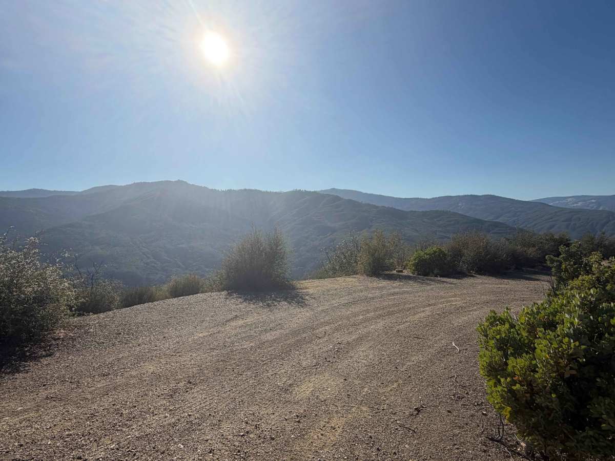
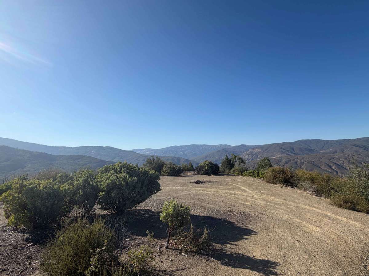
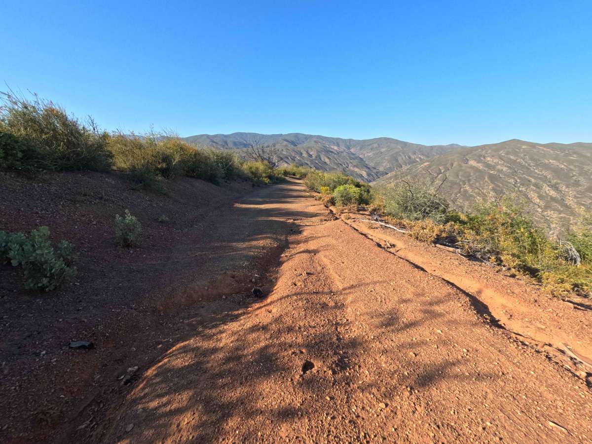
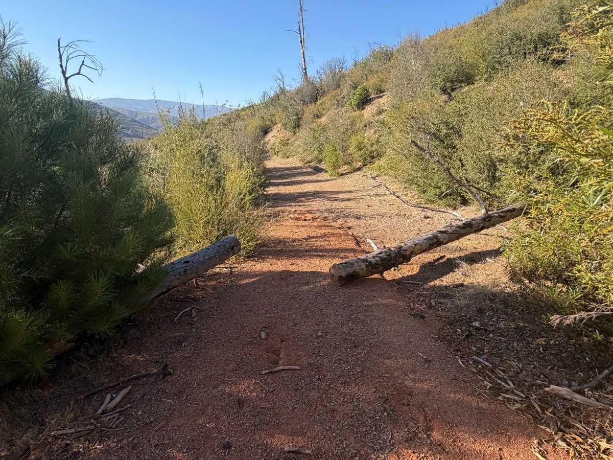
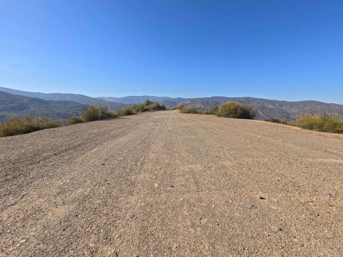
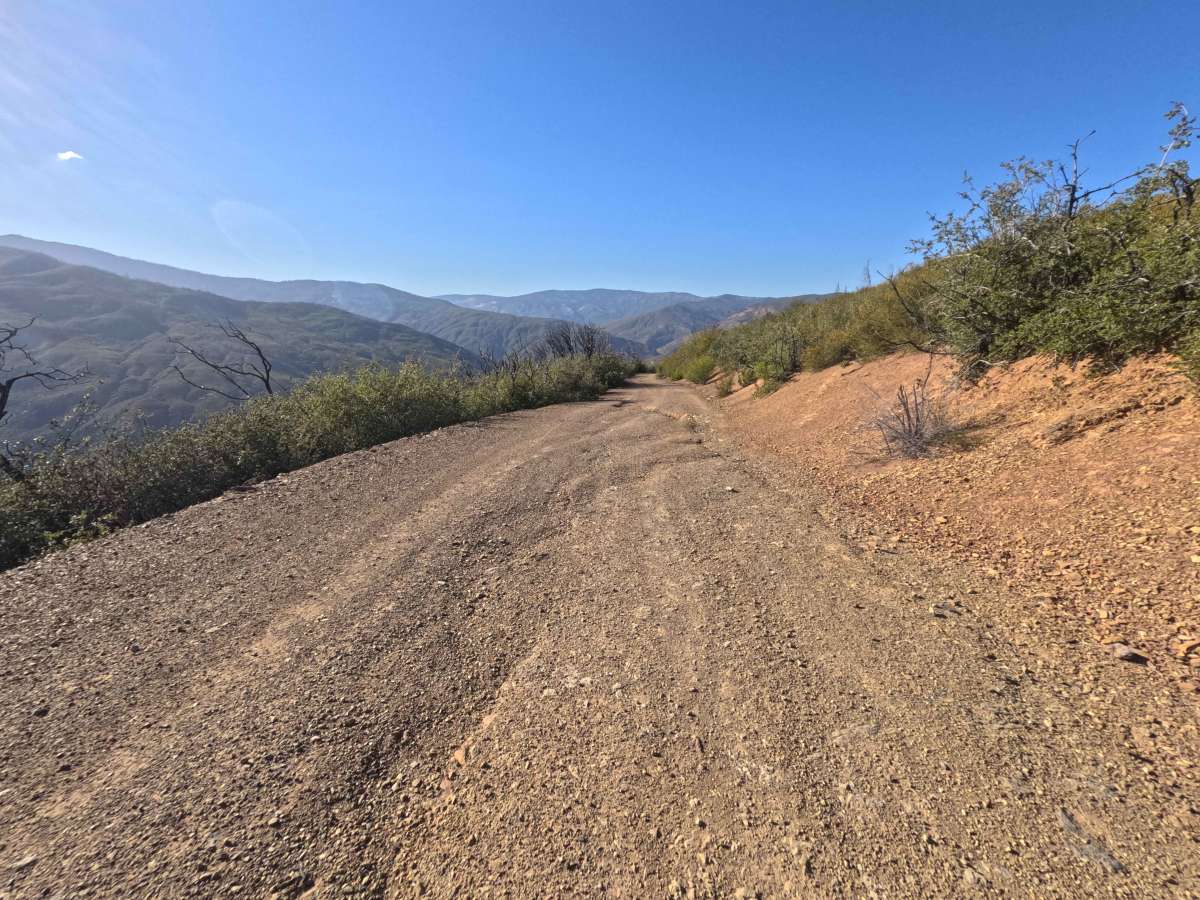
Branching off Alder Springs Road (Forest Highway 7), Grindstone Canyon - FS 21N65 is a scenic, single-lane out-and-back spur that gently descends along a prominent mountain spine. Situated within Mendocino National Forest, the surrounding terrain features chaparral slopes and sparse tree stands actively recovering from the 2020 August Complex Fire, providing expansive, unhindered panoramas across the canyon below. Consisting of a firm dirt and gravel surface, this mountain track holds an approachable Technical Rating of 2. Early in the descent, short turnouts at 0.1 miles and 0.6 miles lead to flat dispersed campsites with surrounding brush offering natural wind protection and sweeping valley vistas. As the trail contours down the western mountainside, the corridor gradually narrows and picks up small burn debris before reaching a partial roadbed slump at 2.2 miles. The route finishes at 2.6 miles where a large fallen log lies across the track. Outdoor enthusiasts frequently travel this ridge route to secure panoramic campsites or take in long-range views over Grindstone Canyon
Difficulty
Earning a Technical Rating of 2, this mountain spur features a firm dirt and gravel foundation with a steady, manageable downhill slope. Driver caution is required around the 2.2-mile mark, where a section of the right-side road shoulder has partially collapsed into the slope, leaving a narrowed track that remains passable when taking a slow, deliberate line away from the outer edge. Past this point, small branches and burn debris scatter across the roadbed. The trail ends at 2.6 miles where a downed tree spans the path, requiring a turnaround using available cleared space.

 Offroad